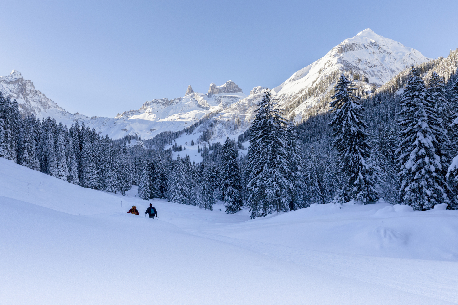
Grabs into the Gauertal and back

Moderate
Einkehrmöglichkeit
Rundtour
Winter hiking · Refreshment stops · Round trip
03:00 h duration
8,37 km Length
1377 m Highest point
1123 m Lowest point
379 m Ascent
379 m Descent
Condition
Difficulty
Result
Landscape

Tour description

Berggasthof Grabs – Sanüel – Volsporaweg – Gauen – Gauertalhaus – Volsporaweg – Sanüel – Berggasthof Grabs

Approach
Public transport
Directions

The hike starts at Berggasthof Grabs and leads over Sanüel through snowy forests down into the Gauertal. Along the Volsporaweg, you walk upstream in the valley towards Lindauer Hut. At the Gauertalweg Letzibach junction, you cross the bridge over the Rasafei stream and follow the Gauertalweg downstream. About halfway you reach the Gauertalhaus. Here, a stopover is recommended. Continue along the Gauertalweg downstream to another junction. Turn right and follow the path uphill for a short distance. You reach the Maisäß settlement on Volspora. Via the Volsporaweg and Sanüel, you return to the starting point, Berggasthof Grabs.

Equipment

Good footwear, poles recommended

Tips

This route is marked with the pink number 22 on the overview map "Aktivkarte Schnee." The map is available for free at the Montafon tourist offices.

Destination

Tschagguns, Berggasthof Grabs

Starting Point

Tschagguns, Berggasthof Grabs

Sicherheitstipps für Winterwandern in Vorarlberg

NOTRUF:

140 - Alpine Notfälle österreichweit 

144 - Alpine Notfälle Vorarlberg 

112 - Euro-Notruf (funktioniert mit jedem Handy/Netz) 

Wetterbedingt kann es vorkommen, dass die Wanderwege nicht täglich frisch gespurt werden. Je nach Schnee- und Wetterverhältnissen kann es zu Änderungen kommen.

Characteristics
Tour type Winter hiking, Refreshment stops, Round trip
Difficulty Moderate
Elevation profile
Best time of year
Jan
Feb
Mär
Apr
Mai
Jun
Jul
Aug
Sep
Okt
Nov
Dez