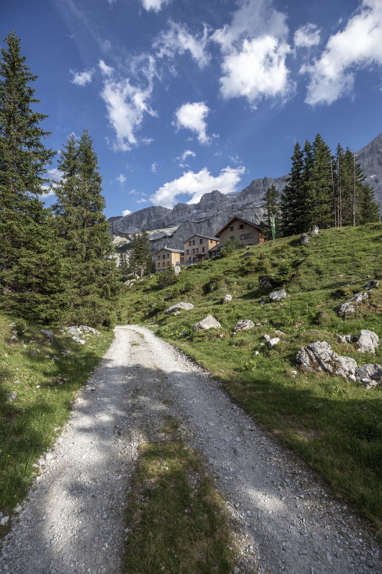
Hut route Rätikon South - Lindauer Hut to Carschina Hut (CH)

Tour description
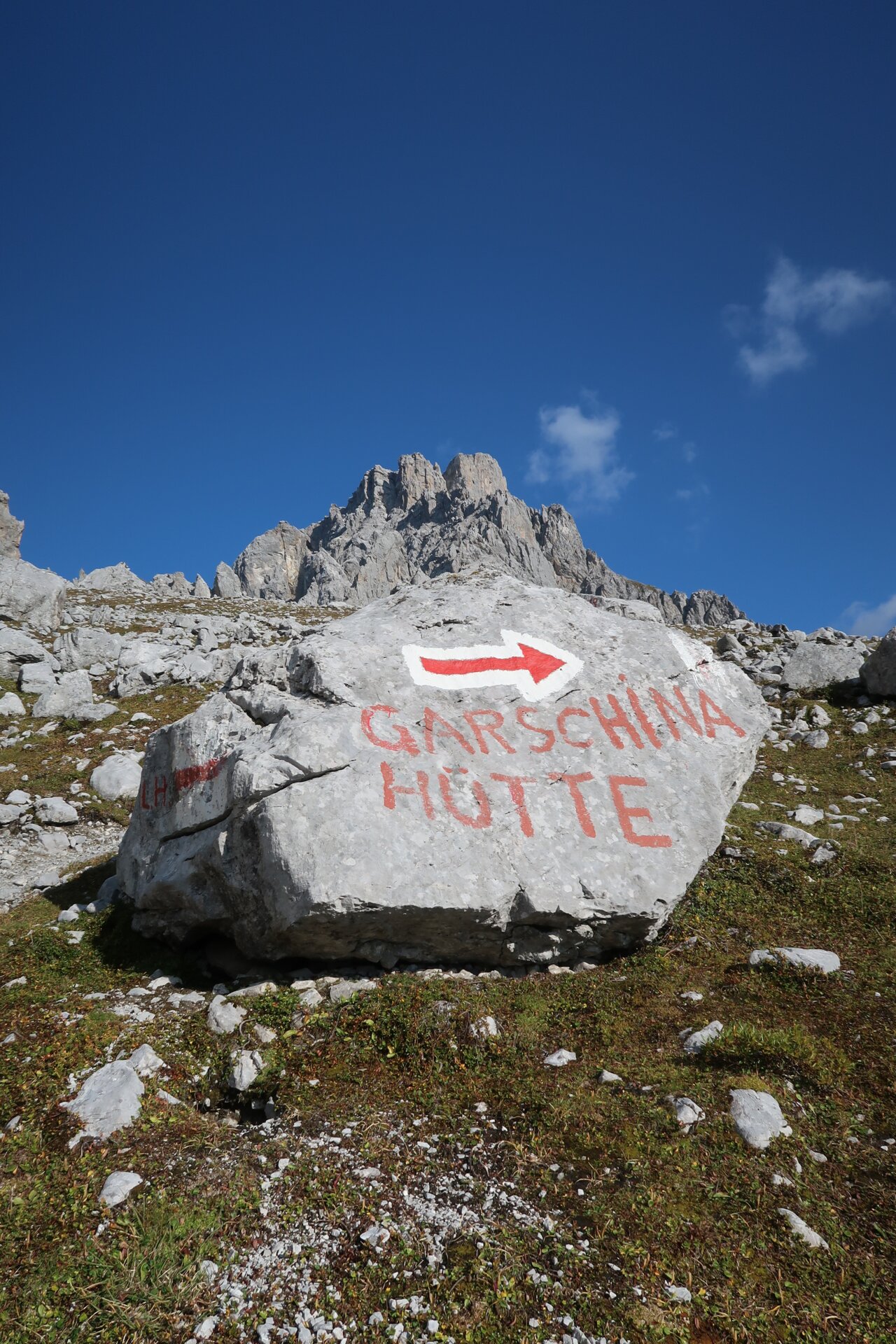
A varied high mountain route in the Rätikon. Across the border, you go into Switzerland to the Carschina Hut.
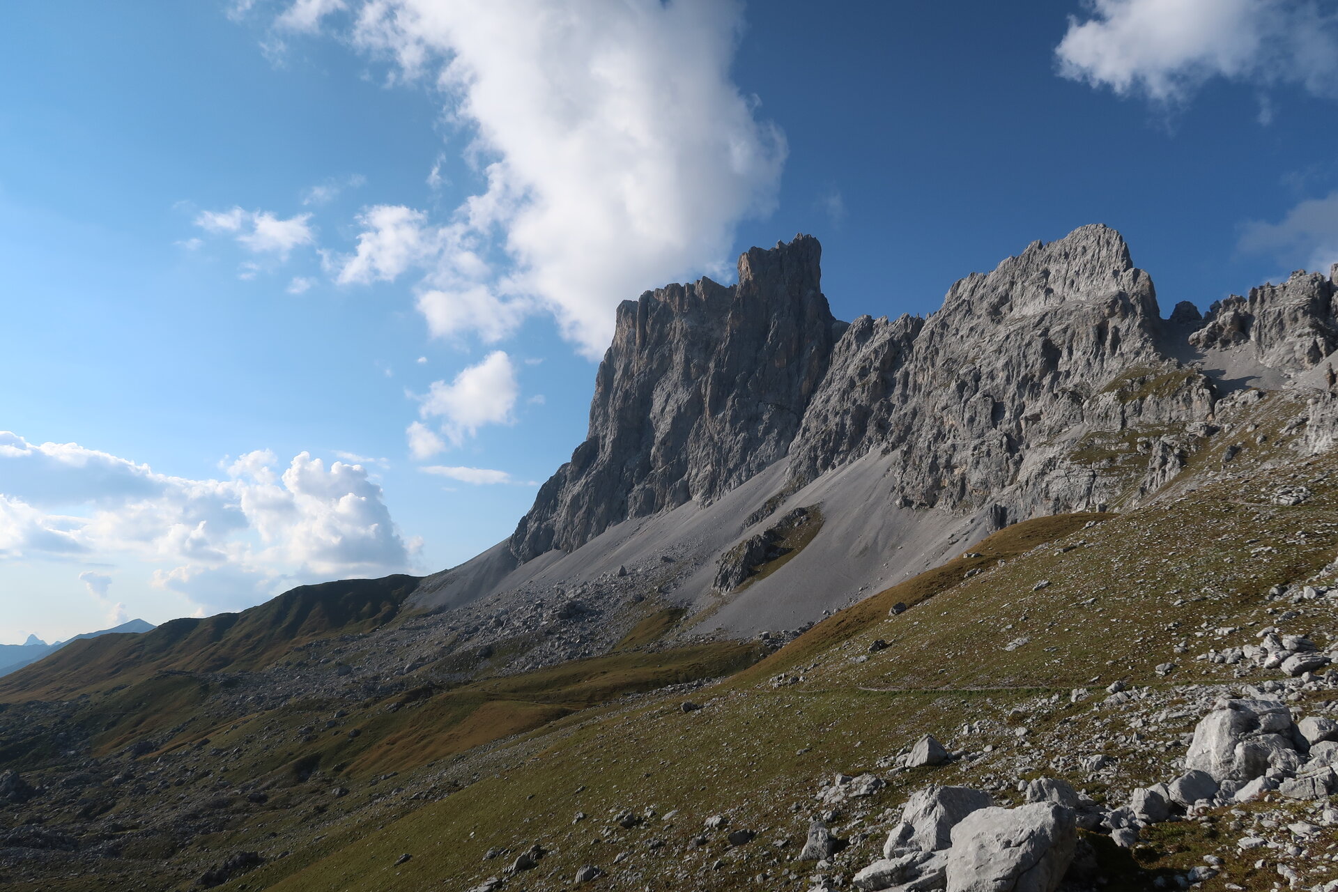
A route for mountain lovers who appreciate the natural beauty of the mountains as well as well-maintained regional cuisine. The hiking trails lead through the varied Rätikon. The limestone rock of the Rätikon contrasts here with the blooming alpine meadows at the foot of the impressive mountain peaks. Along the way, you cross the border into Switzerland where you can admire the steep mountain walls from behind.
Important: for this route you should plan your personal daily sections and reserve overnight stays at the huts in advance!
Approach
This stage cannot be reached separately by car.
Public transport
This stage cannot be reached separately by public transport.
Parking
This stage cannot be reached separately by car.
Directions
Lindauer Hut - Drusentor - Carschina Hut
Equipment
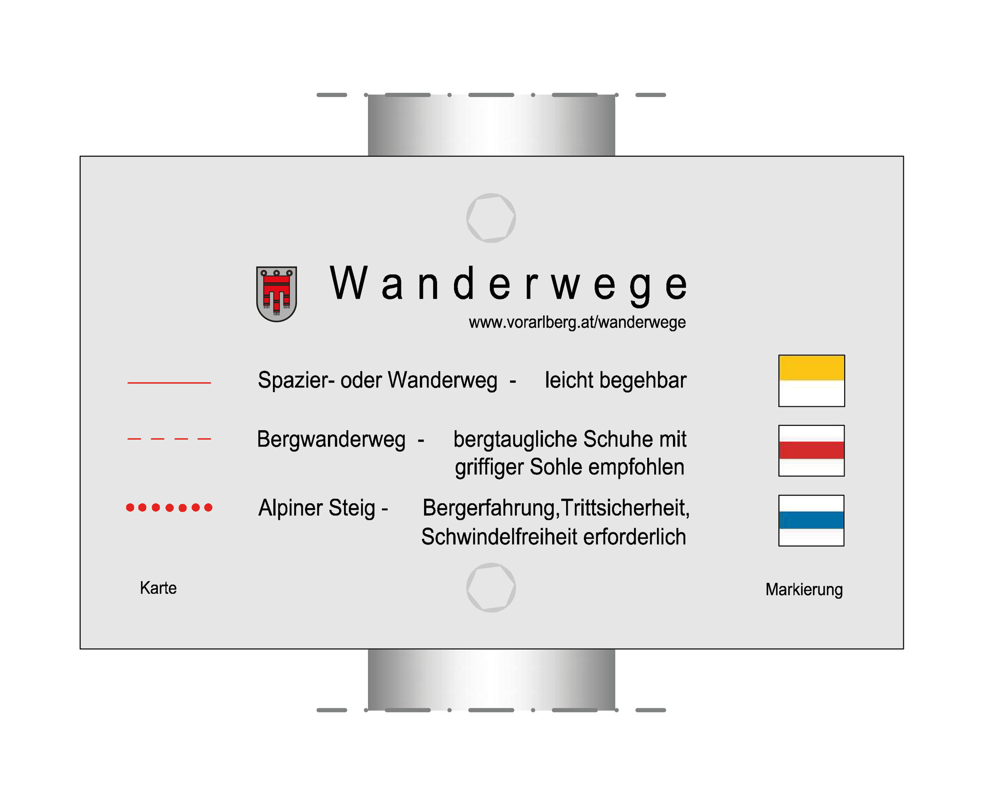
Good, ankle-high hiking boots with a good tread, bring enough food and drinks, hiking poles recommended.
Tips
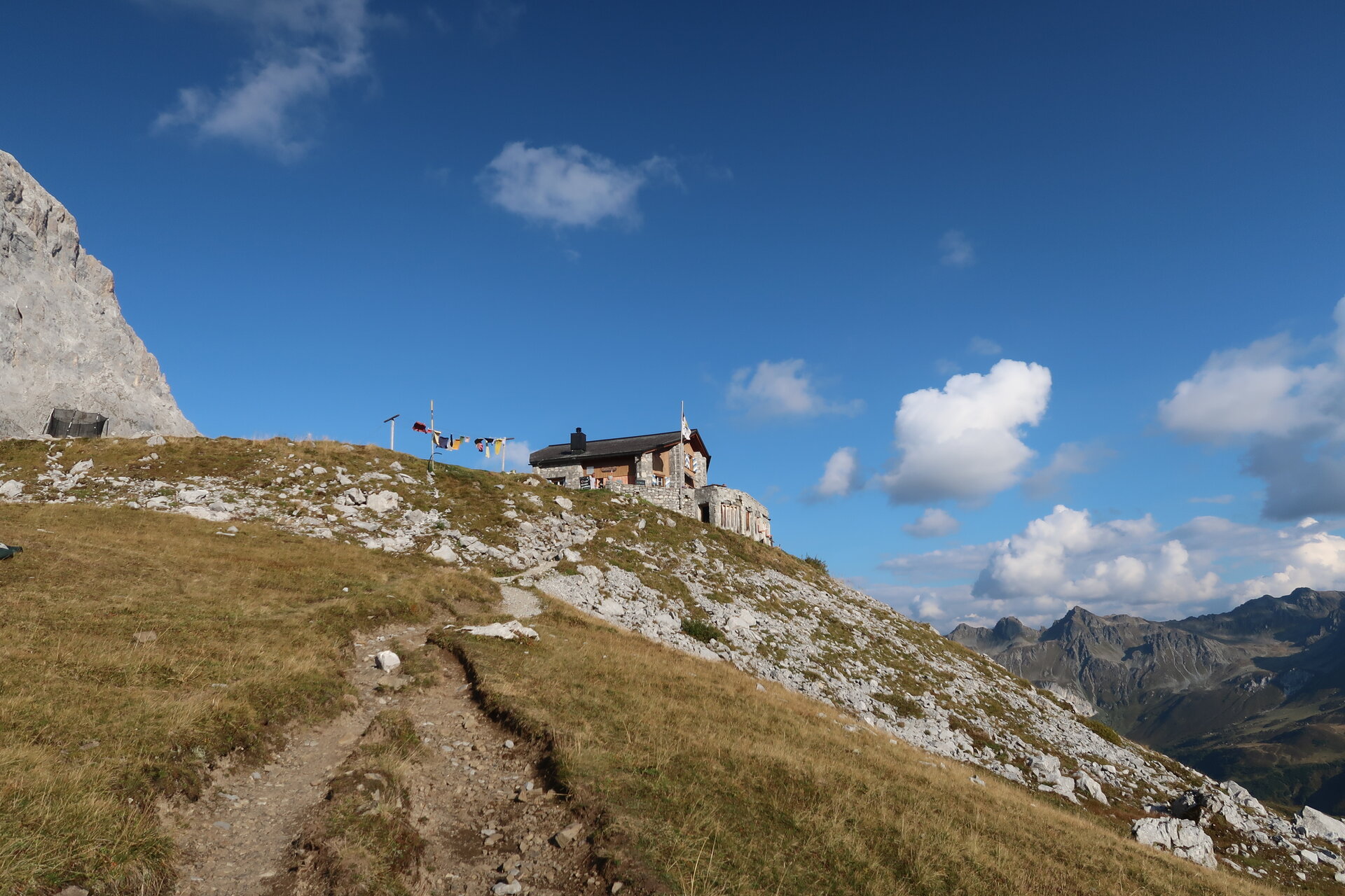
You must see the sunset at the Carschina Hut.
Destination
Carschina Hut
Starting Point
Lindauer Hut
Sicherheitstipps für Wandern in Vorarlberg
EN NOTRUF:
EN 140 - Alpine Notfälle österreichweit
EN 144 - Alpine Notfälle Vorarlberg
EN 112 - Euro-Notruf (funktioniert mit jedem Handy/Netz)