Montafon hut circuit | Douglass Hut to Heinrich Hueter Hut

Tour description
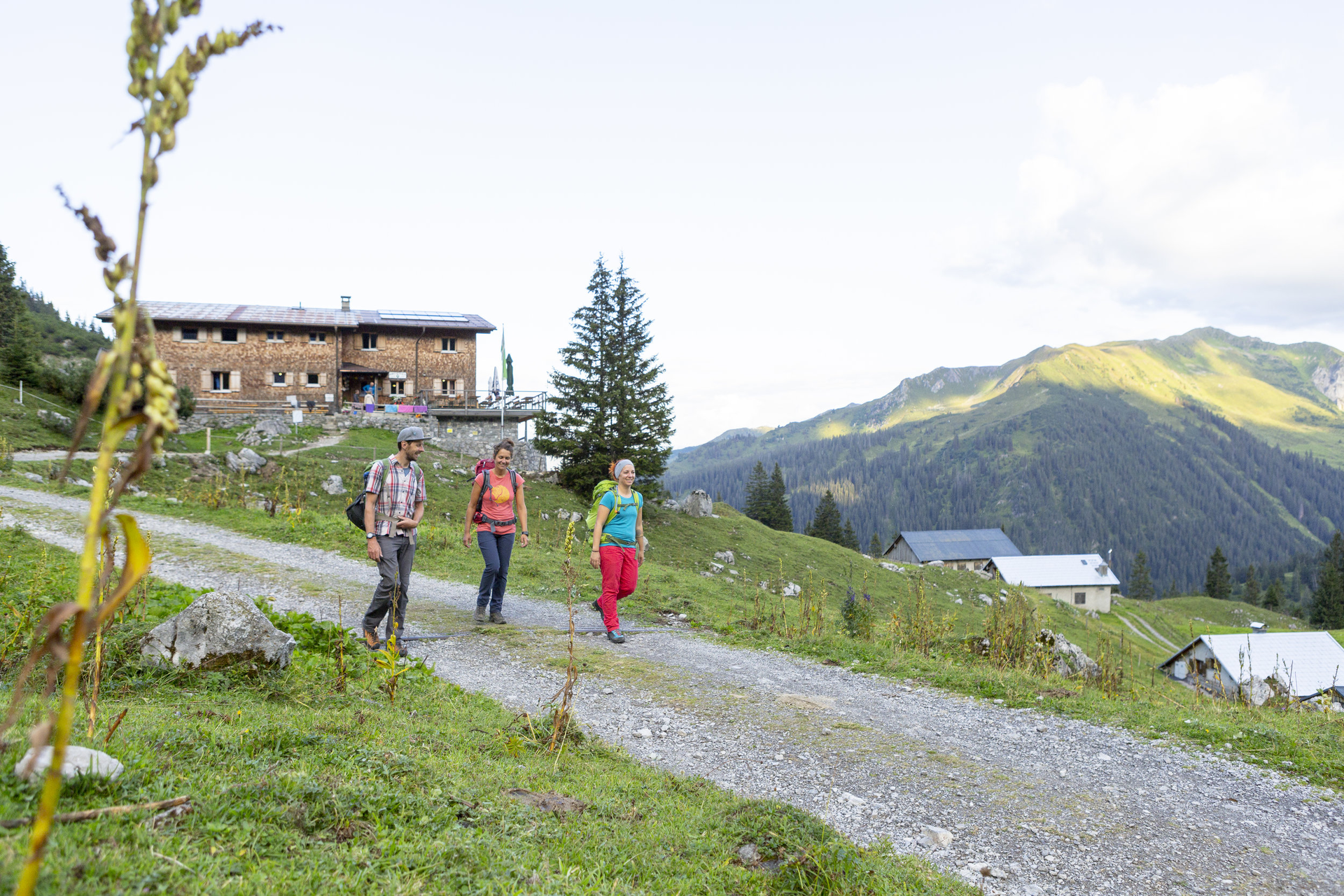
You can save energy from the Douglass Hut to the Heinrich Hueter Hut. There is a route waiting for you where you will descend more than you ascend. Nevertheless, this stage is very varied. You move in a picturesque setting.
Approach
Coming from Feldkirch, take the Brandnertal motorway exit and follow the L82 towards Brandnertal. Passing the Brandnertal mountain lifts, you finally reach deep in the valley the Lünerseebahn. From here you must continue with the gondola to get off directly at the top by the Lünersee. The gondola exit is also your starting point of the route, the Douglass Hut.
Public transport
Just leave your car standing
From Bludenz train station take bus line 81 to the Lünerseebahn. The stop is: "Lünerseebahn".
Parking
There are numerous parking options at the valley station of the Lünerseebahn.
Parking spaces with the possibility to leave your car for several days (up to a week) are available in Schruns in the underground garage at the Löwen Hotel. For parking longer than a week, please contact the Löwen Hotel directly: T +43 5556 7141, reservierung@loewen-hotel.com)
Directions
The path leads you along the shore of the Lünersee, which lies to your right. Here you follow the great Walserweg. After a few meters, the path forks. Follow the ascending path with signage towards the Heinrich Hueter Hut straight ahead. Continue towards the Lünerkrinne, which at 2158 m marks the highest point of this route. Continue following the hiking trail that now descends. After two right turns, which you ignore, there is a left turn. Also ignore this and continue following the hiking trail and signage towards the Heinrich Hueter Hut.
Equipment
Active map
Weather-appropriate clothing
Sturdy footwear with a good tread sole
Enough to drink, and a snack if needed
Tips
The highest point of this route is the Lünerkrinne at 2158 m. Take a snack with you and use the great view from up here to recharge. With a mountain panorama before your eyes, everything tastes twice as good.
Destination
Heinrich Hueter Hut
Starting Point
Douglass Hut
Sicherheitstipps für Wandern in Vorarlberg
EN NOTRUF:
EN 140 - Alpine Notfälle österreichweit
EN 144 - Alpine Notfälle Vorarlberg
EN 112 - Euro-Notruf (funktioniert mit jedem Handy/Netz)


