Montafon Totale Trail 31: length 31 km​-​ 3​-​000 meters of elevation gain

Difficult
closed
Trail running | Running
08:30 h duration
31,0 km Length
2396 m Highest point
682 m Lowest point
3000 m Ascent
1660 m Descent
Condition
Difficulty
Result
Landscape

Tour description

Schruns center – Sennigrat – Kreuzjoch – Wormser trail – Grasjoch – Silvretta Park Montafon – Garfrescha – Gantekopf – Nova Stoba

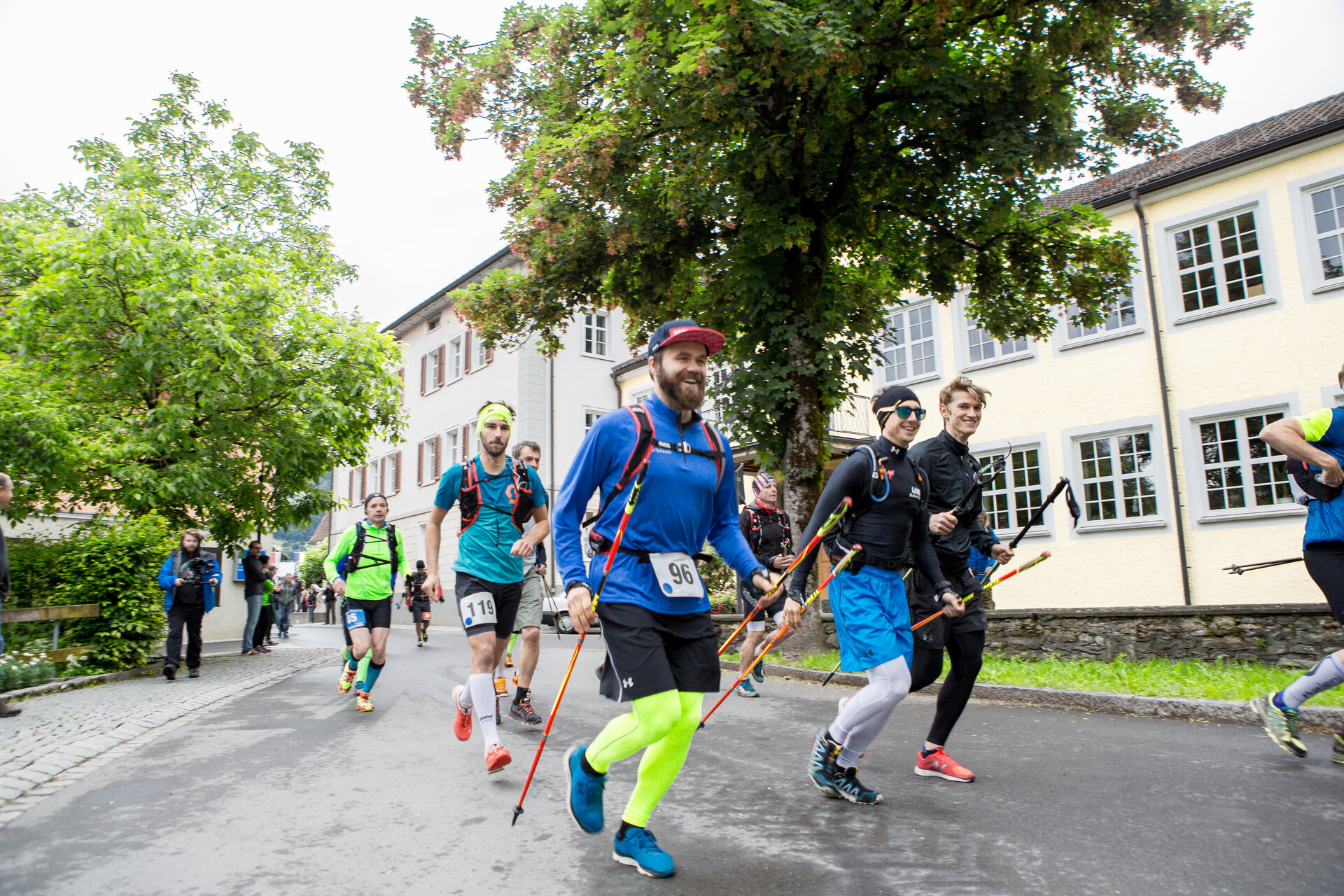
All information about the running event can be found here: https://www.montafontotale.at/trail-31-km

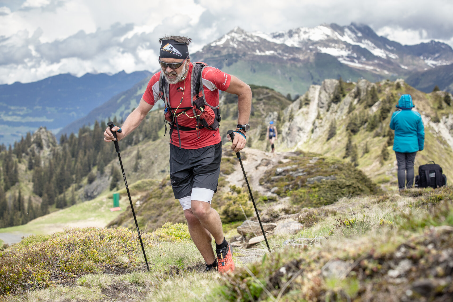
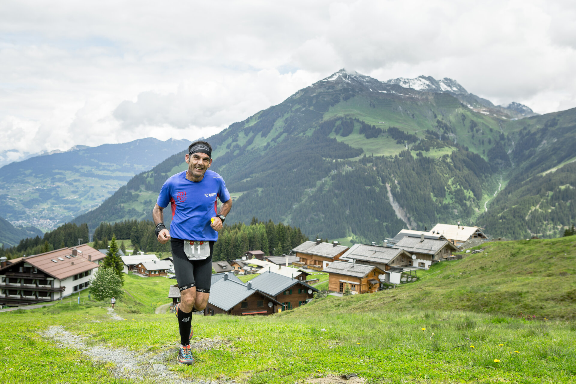
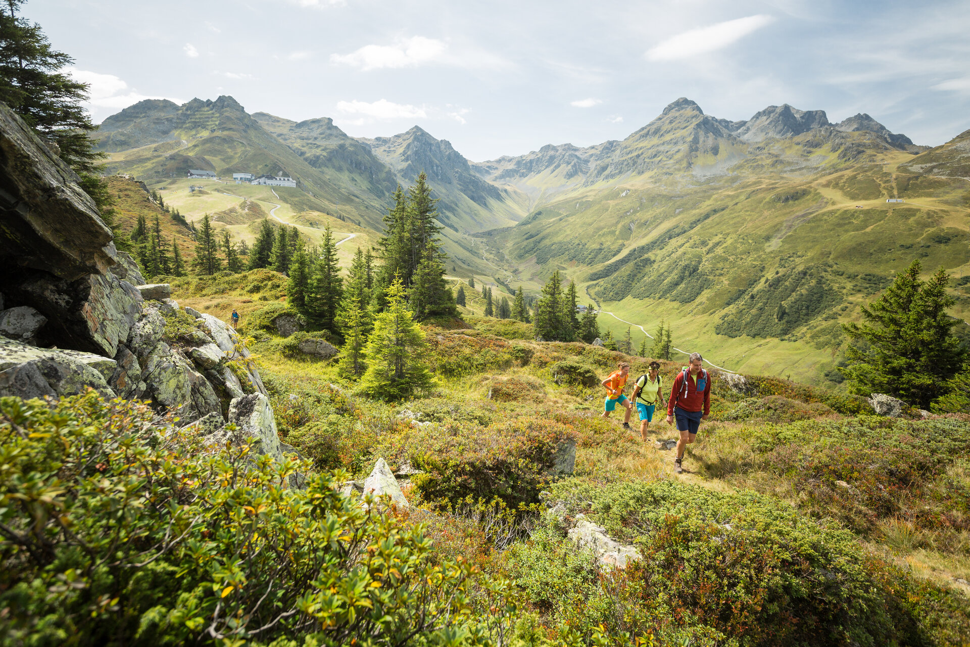
Hard, challenging, and incredibly beautiful: in the Montafon Totale Trail, runners push their limits in the high alpine terrain while marveling at the beauty of the Montafon mountain world.
Directions

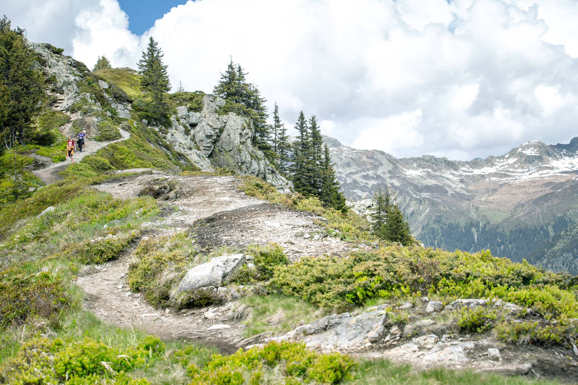
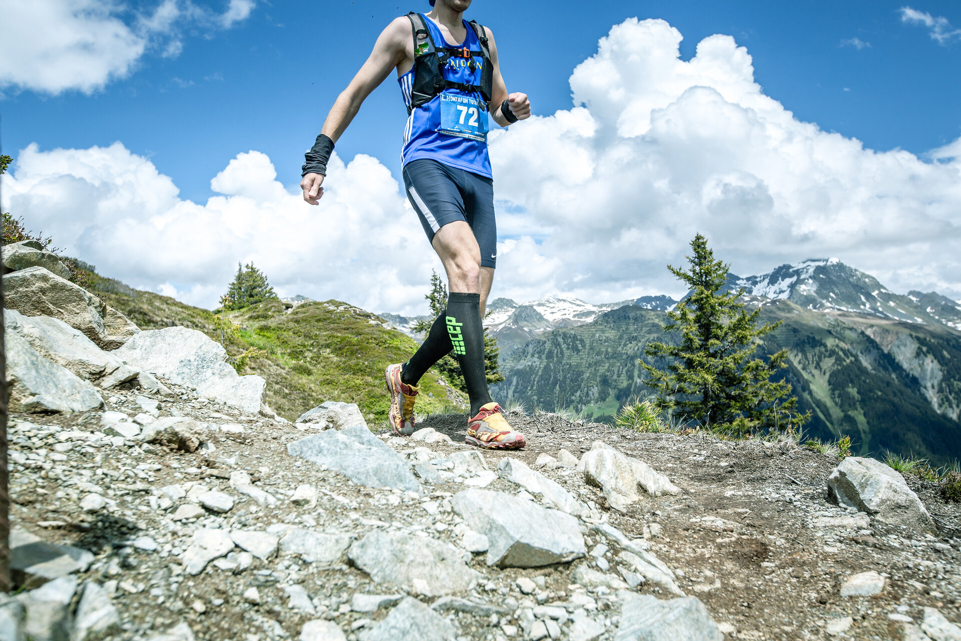
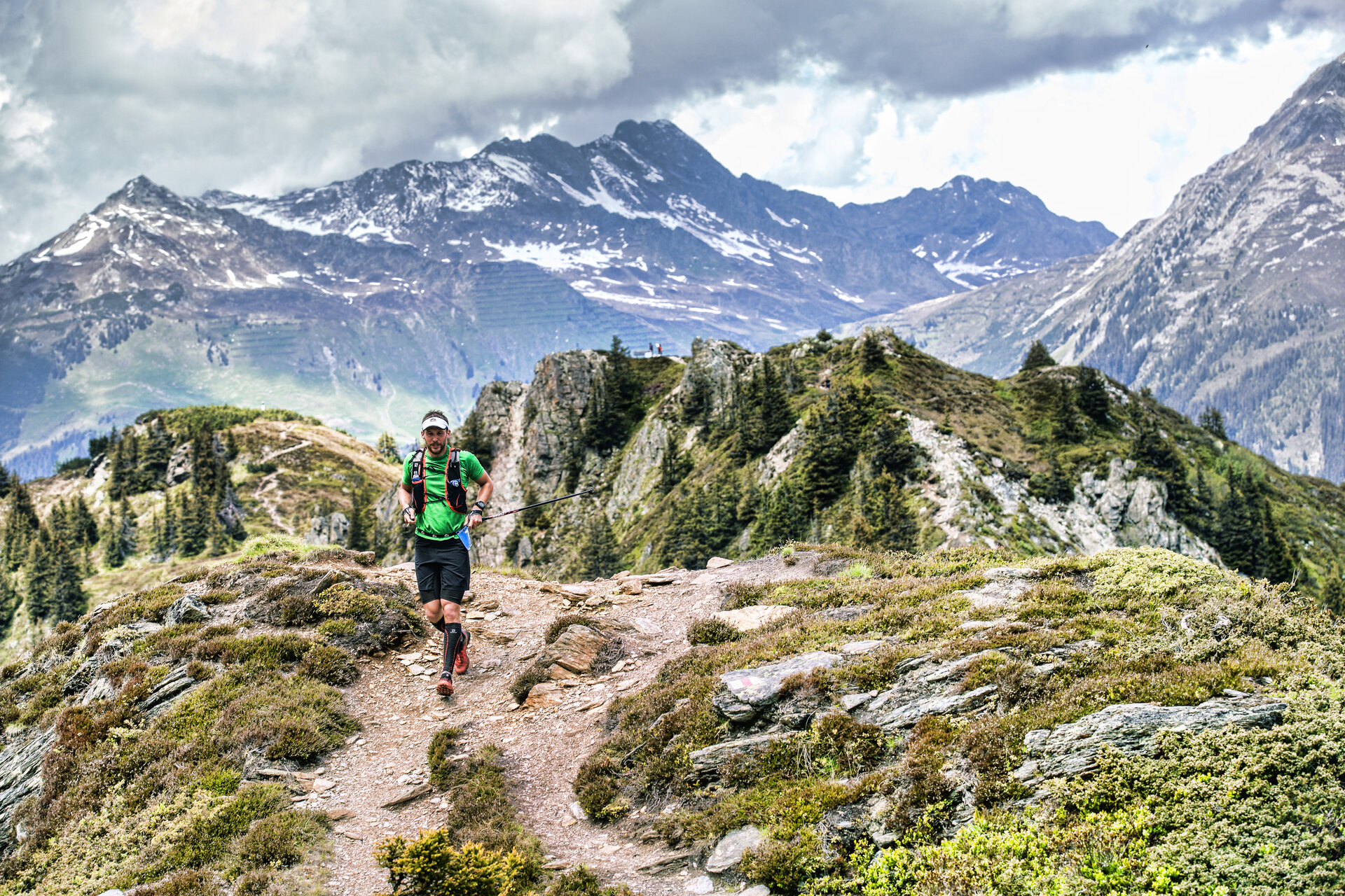
Like the Montafon Totale Ultra, the trail also starts with a long ascent to Sennigrat. The subsequent flatter section along the Wormser Höhenweg is the perfect segment for a few snapshots of the route. The descent to St. Gallenkirch and ascent to Garfrescha then require your full attention again. While the Ultra runners still take a detour to the Valisera Bahn mountain station, your path leads directly over the Gantekopf to the finish at Nova Stoba.

Safety instructions

EMERGENCY CALL: 144

European emergency number: 112 (works with any mobile/ network)

www.vorarlberg.travel/sicherheitstipps

Destination

Gaschurn, Nova Stoba

Starting Point

Schruns, center

Characteristics
Tour type Trail running | Running
Difficulty Difficult
Elevation profile
Best time of year
Jan
Feb
Mär
Apr
Mai
Jun
Jul
Aug
Sep
Okt
Nov
Dez