Grüne Kuppe – Panoramic Hike at the Foot of Piz Buin

Difficult
Einkehrmöglichkeit
Mountaineering · Refreshment stops · Partenen - Bielerhöhe
06:30 h duration
17,6 km Length
2579 m Highest point
2034 m Lowest point
631 m Ascent
631 m Descent
Condition
Technique
Difficulty
Result
Landscape

Tour description

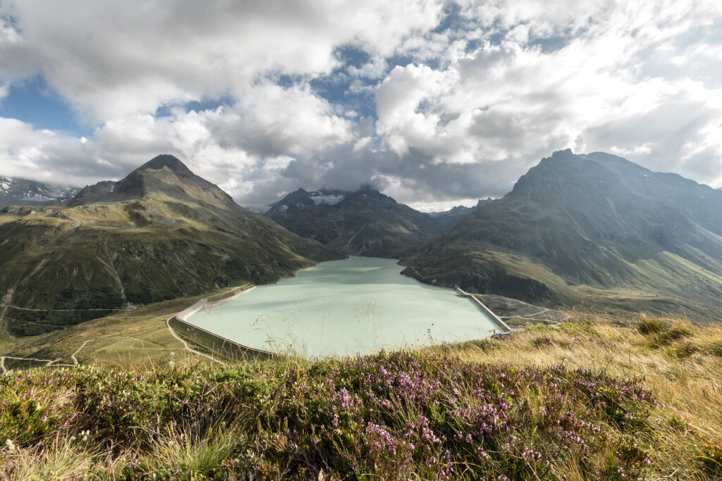
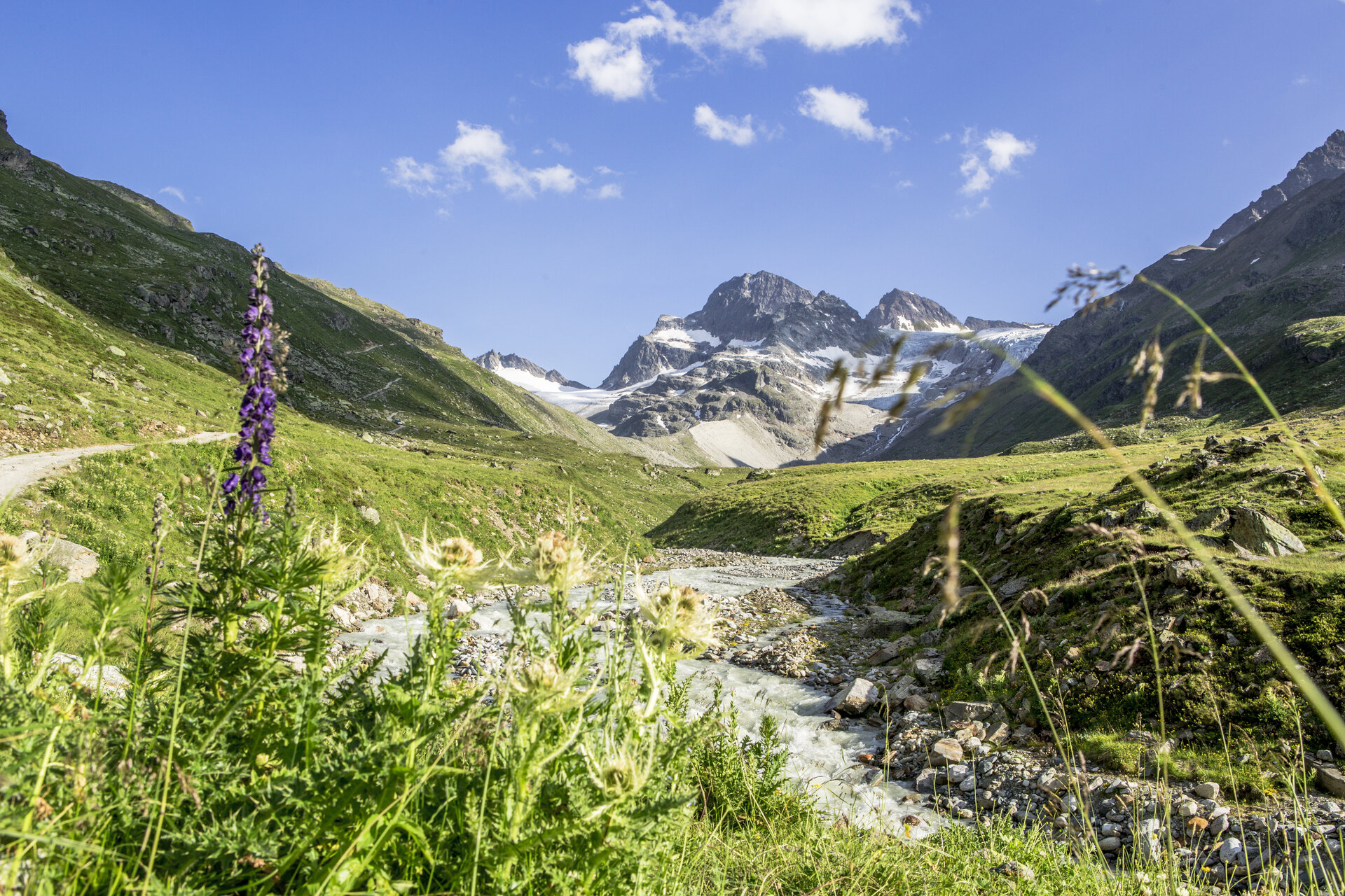
A scenic mountain hike from Silvretta-Bielerhöhe to Grüne Kuppe that takes you along Lake Silvretta and past the Wiesbadener Hut to within close proximity of Piz Buin.

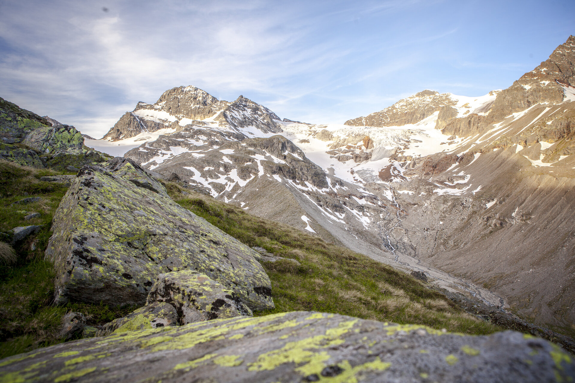
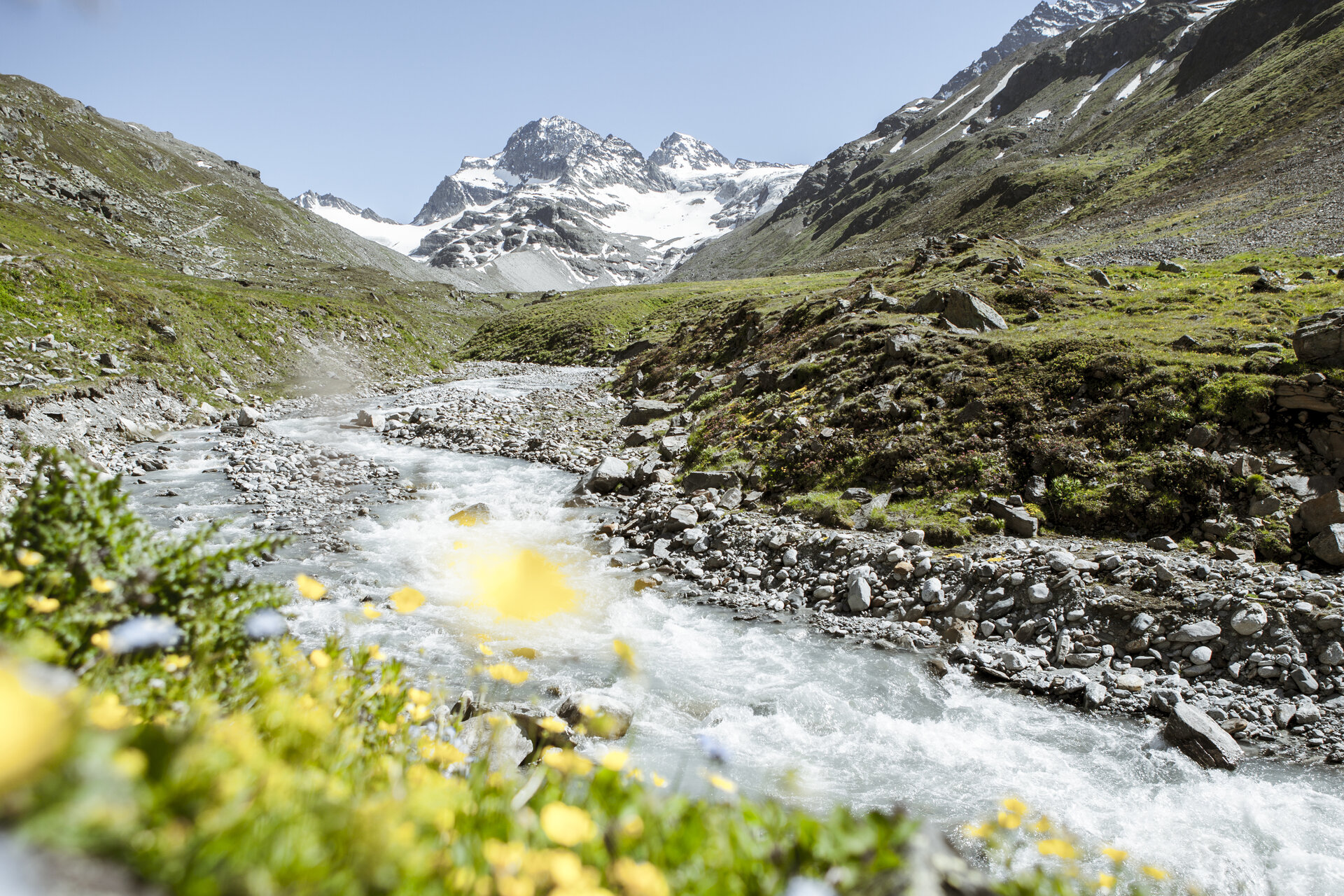
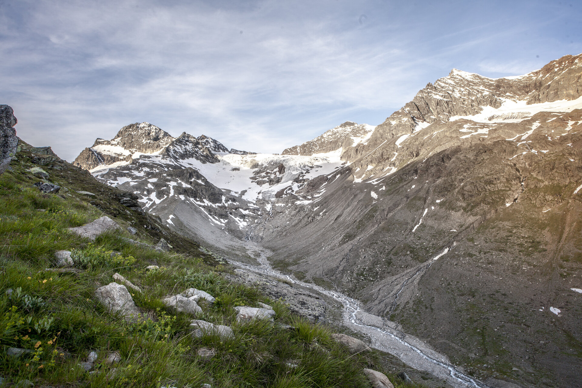
From the Silvretta-Bielerhöhe, you’ll hike along Lake Silvretta through the Ochsental valley toward the Wiesbadener Hütte, with views of the 3,312-meter-high Piz Buin accompanying you through the high-alpine landscape. From the Wiesbadener Hütte, the trail continues uphill to the Grüne Kuppe at 2,579 meters, offering a breathtaking view of the surrounding three-thousand-meter peaks of the Silvretta. You’ll then hike back along the same route via the Wiesbadener Hütte to Lake Silvretta and the Bielerhöhe.

Starting Point - Directions - End Point

Starting Point
Silvretta-Bielerhöhe

Route description
Silvretta-Bielerhöhe – Lake Silvretta – Ochsental – Wiesbadener Hut – Grüne Kuppe (2,579 m) – Wiesbadener Hut – Ochsental – Lake Silvretta – Silvretta-Bielerhöhe

End point
Silvretta-Bielerhöhe

Getting to the starting point

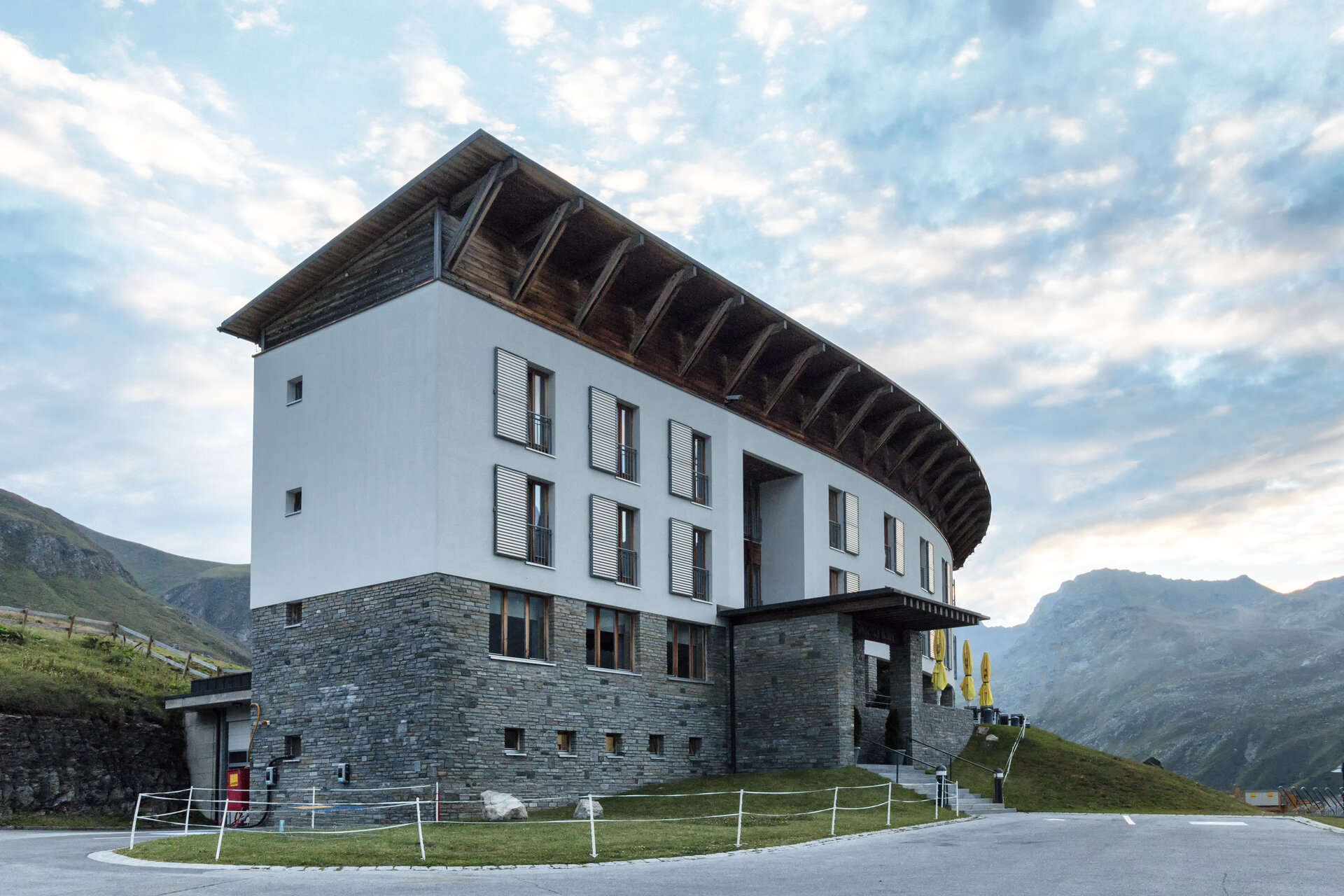
The Silvretta High Alpine Road is expected to remain closed until summer 2030. Therefore, in the summer, you cannot reachthe Bielerhöhe from the Montafon by car or public transportation via the High Alpine Road; instead, you must take the Vermuntbahn from Partenen and then transfer to the tunnel bus.

You can find more information here.

By Public Transportation

With the Landbus Montafon and the Montafonerbahn, you can travel comfortably and flexibly throughout the valley. The train and bus connect the towns regularly, every half hour or every hour depending on the route. You can find suitable connections in the cleVVVer mobil schedule app. The nearest stop is “Partenen Bergbahnen Talstation.” From there, it’s just a few minutes’ walk to the Vermuntbahn valley station.

By car

By car, drive to Partenen to the valley stations of the Vermuntbahn or Tafamuntbahn. The two valley stations are just a few minutes’ walk apart. Parking is available near the valley stations. Since parking conditions may change due to construction work, please follow the current on-site signage and check in advance for available parking spaces.
Important Information

The tour is classified as a difficult mountain hike and leads through high-alpine terrain. Sturdy hiking boots, sure-footedness, good physical conditioning, and weather-appropriate clothing are therefore required.

Recommended gear includes a daypack with a rain cover, sun and rain protection, sufficient food and drinking water, a first-aid kit, a cell phone, maps, and, if necessary, trekking poles and a headlamp.

Tips

Plan to stop for a break at the Wiesbadener Hütte, either on the way there or on the way back. The hut is located at 2,443 meters at the end of the Ochsental valley and offers a particularly beautiful view of the Piz Buin and the surrounding glacier landscape.

After all that climbing, your reward can certainly be either hearty or sweet: homemade Kaiserschmarrn or bacon dumplings go quite well with a day spent between Lake Silvretta, the cliffs, and the three-thousand-meter peaks.

Sicherheitstipps für Wandern in Vorarlberg

EN NOTRUF:

EN 140 - Alpine Notfälle österreichweit 

EN 144 - Alpine Notfälle Vorarlberg 

EN 112 - Euro-Notruf (funktioniert mit jedem Handy/Netz) 

Characteristics
Tour type Mountaineering, Refreshment stops
Difficulty Difficult
Start Silvretta-Bielerhöhe
Finish Silvretta-Bielerhöhe
Elevation profile
Best time of year
Jan
Feb
Mär
Apr
Mai
Jun
Jul
Aug
Sep
Okt
Nov
Dez