Around the Ritzenspitzen

Difficult
closed
Einkehrmöglichkeit
Rundtour
Hiking · Refreshment stops · Round trip
06:30 h duration
16,4 km Length
2478 m Highest point
1427 m Lowest point
1133 m Ascent
965 m Descent
Condition
Difficulty
Result
Landscape

Tour description

Gargellen - Lower Valzifenzalpe - Upper Valzifenzalpe - Winter Valley - Customs hut - Valzifenzer Joch - Alpe Vergalden - Gargellen

Approach

Take the A14 to the Bludenz/Montafon exit and continue on Montafonerstraße L188 to St. Gallenkirch. There, turn right onto Gargellnerstraße (B192) and follow it up to Gargellen.

Public transport

Just leave your car parked

The regional buses run throughout Montafon. The main lines run every half hour from Schruns station.

Bus stop at the start/finish of the route: Gargellen Schafbergbahn/ line 670

Timetable: www.vmobil.at

Arrival by train to Montafon

From Bludenz station, the Montafon railway runs hourly (sometimes every half hour). There are also direct connections from Lindau (Germany) and Bregenz.

Timetable: www.oebb.at

Parking

Parking lot Bergbahnen Gargellen (paid)

Directions

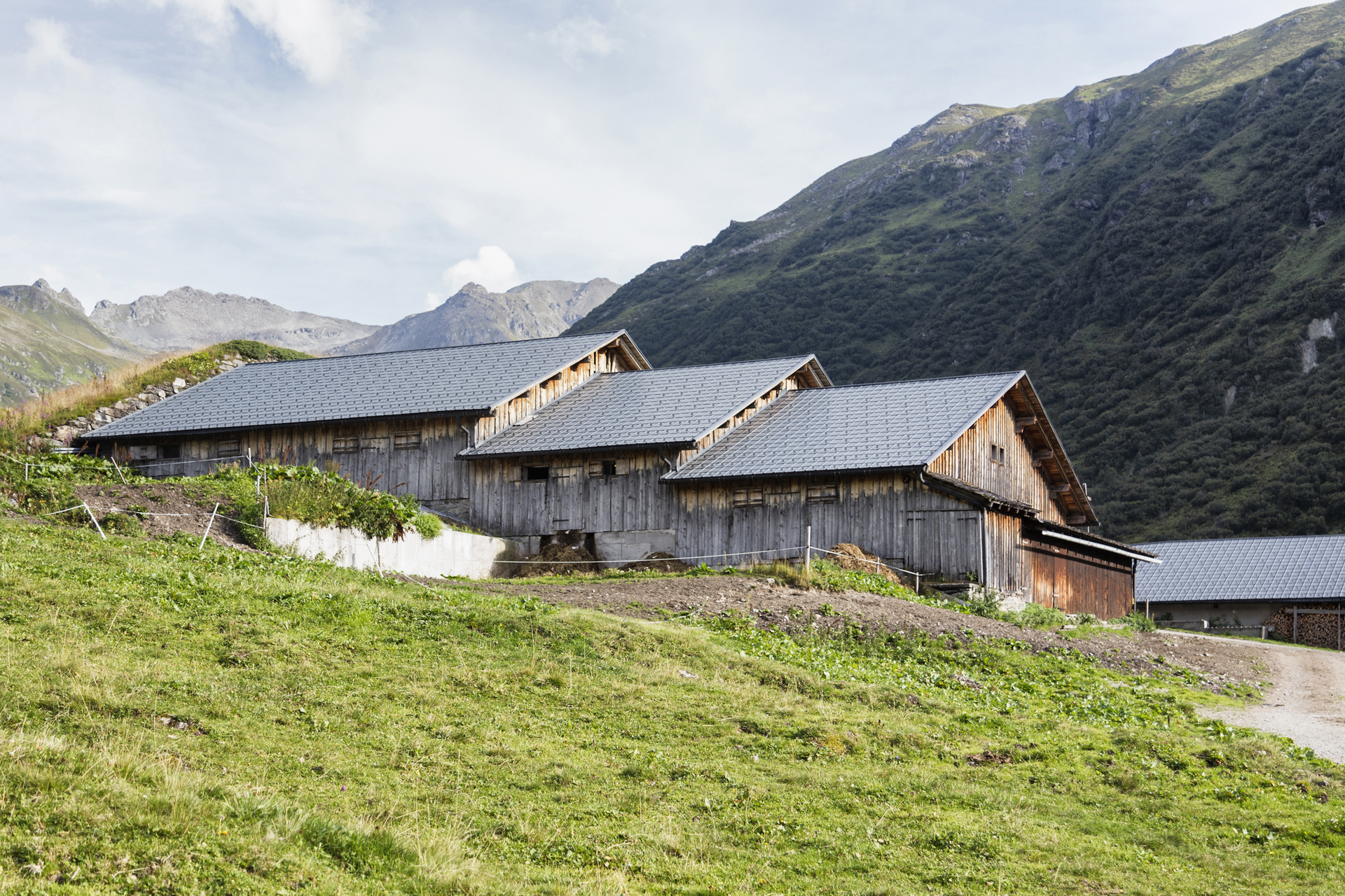
The route around the Ritzenspitzen starts in Gargellen at the valley station of the Schafbergbahn. We walk slightly uphill to Vergalda. Once there, we turn right and hike along a footpath following the Valzifenzbach stream to the Lower Valzifenzalpe (1693 m) and then continue on the hiking trail to the Upper Valzifenzalpe (1838 m). For a long time, this was the route of the pack carriers and smugglers. From there, we head east towards Winter Valley. On the Augstenberg, you pass several small lakes and reach the customs hut located at 2221 m. The last ascent leads to the Valzifenzer Joch (2485 m) – the highest point of this route. The reward for this effort is an impressive panorama of the Silvretta massif and Vergalda valley. From here, the path descends to Alpe Vergalda (1820 m). In about 1.5 hours, you reach the alpine pasture, which is operated in summer. Along the Vergalda stream, you return to Gargellen in about 1 hour.

Equipment

ankle-high hiking boots with good grip, hiking poles recommended

Destination

Valley station Schafbergbahn in Gargellen

Starting Point

Valley station Schafbergbahn in Gargellen

Sicherheitstipps für Wandern in Vorarlberg

EN NOTRUF:

EN 140 - Alpine Notfälle österreichweit 

EN 144 - Alpine Notfälle Vorarlberg 

EN 112 - Euro-Notruf (funktioniert mit jedem Handy/Netz) 

Characteristics
Tour type Hiking, Refreshment stops, Round trip
Difficulty Difficult
Elevation profile
Best time of year
Jan
Feb
Mär
Apr
Mai
Jun
Jul
Aug
Sep
Okt
Nov
Dez