Silvretta hut route - Vermuntsee to Saarbrücker Hut

Tour description
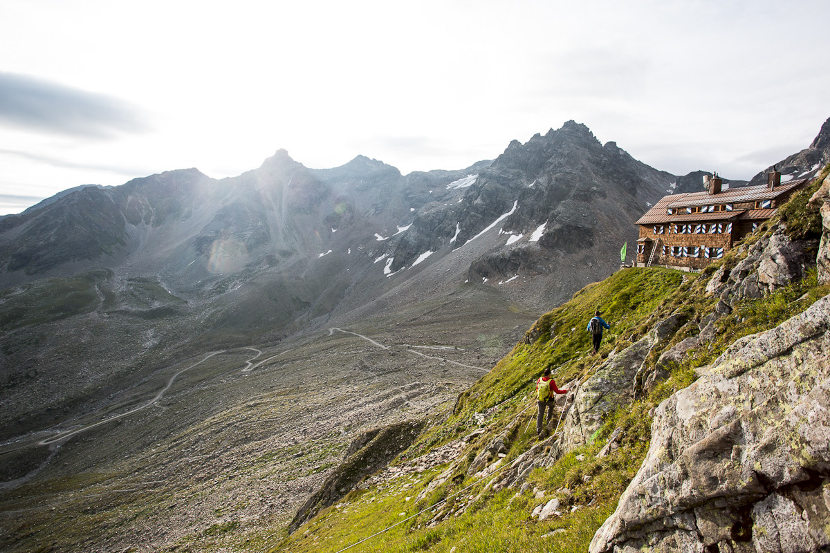
An impressive hut route in the majestic Silvretta in Montafon.
Approach
Coming from Bludenz, take the Bludenz/Montafon motorway exit and follow the L188 via Schruns to Partenen to the toll station for the Silvretta High Alpine Road. From there, continue on the Silvretta High Alpine Road to Vermuntsee.
Public transport
Just leave your car behind
The regional buses of the Montafonerbahn operate throughout Montafon. The main lines run hourly from Schruns train station.
Getting there by bus
From Schruns train station, take bus line 85 to the Silvretta-Bielerhöhe. The stop is: "Vermuntsee".
Getting there by train
From Bludenz station, the Montafonerbahn runs hourly (sometimes every half hour). There are also direct connections from Lindau (D) and Bregenz.
Parking
Parking is available at Vermuntsee.
Directions
From the Vermuntsee parking lot, follow the sign uphill to the Saarbrücker Hut along a wide gravel path.
Equipment
Bring good ankle-high hiking boots with a good tread, sufficient food and drinks, hiking poles are recommended.
Tips
Due to high demand at the huts, we recommend reserving sleeping places directly at the huts early enough.
Destination
Saarbrücker Hut
Starting Point
Vermuntsee
Sicherheitstipps für Wandern in Vorarlberg
EN NOTRUF:
EN 140 - Alpine Notfälle österreichweit
EN 144 - Alpine Notfälle Vorarlberg
EN 112 - Euro-Notruf (funktioniert mit jedem Handy/Netz)


