Silvretta hut route - Wiesbadener Hut to Vermuntsee

Tour description
An impressive hut route in the majestic Silvretta in the Montafon.
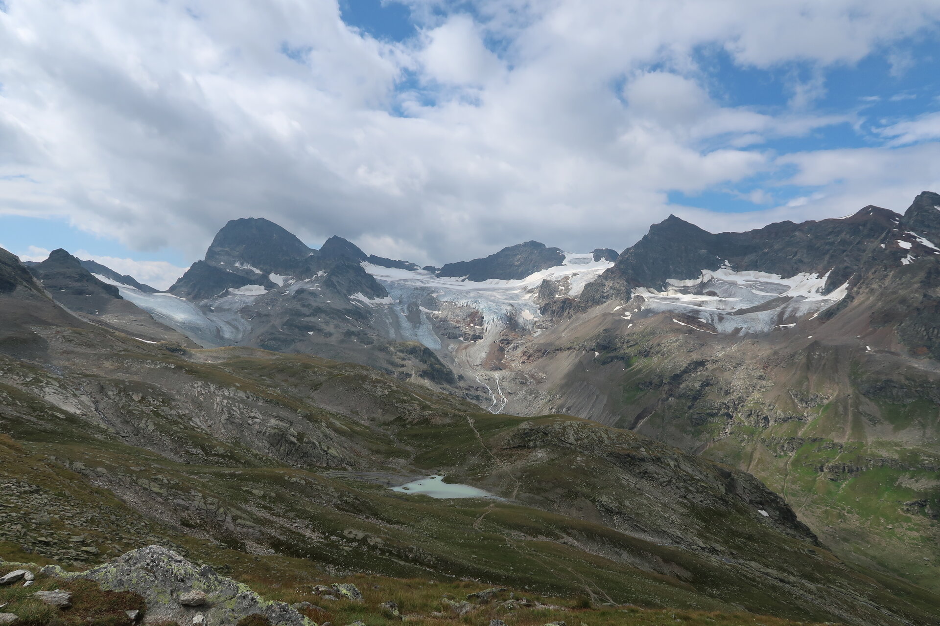
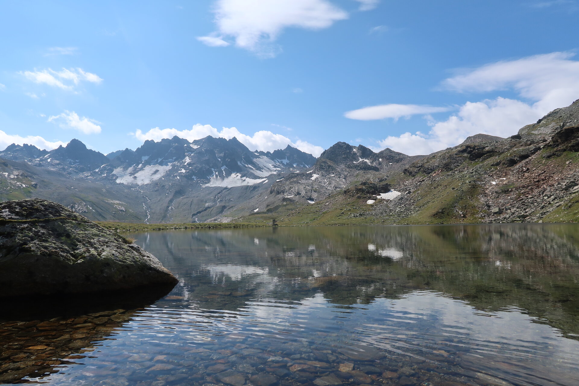
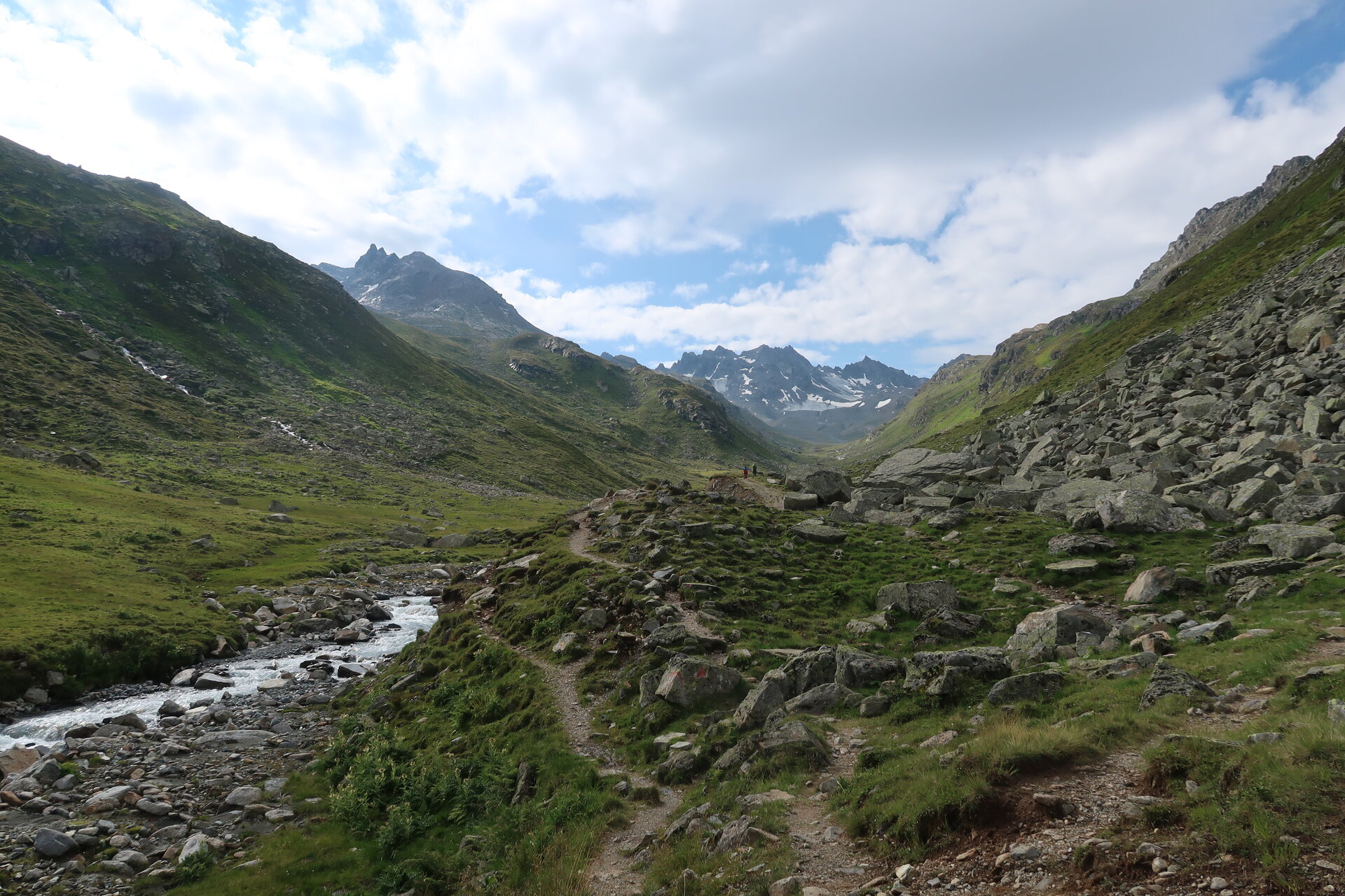
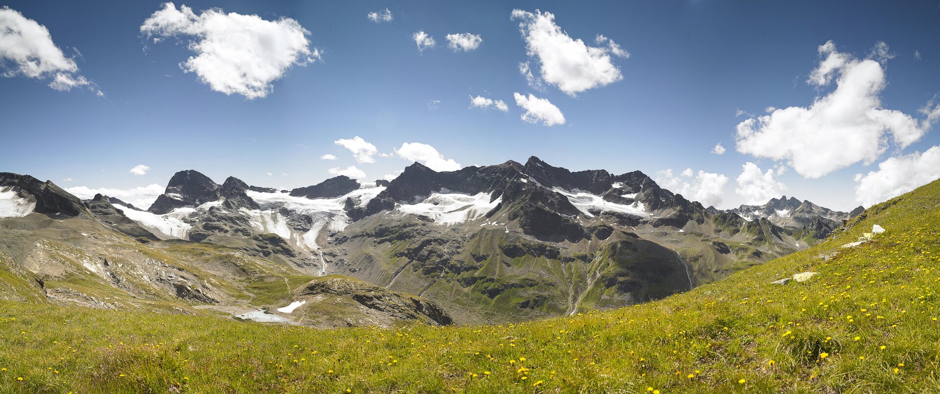
A route for mountain lovers who appreciate the natural beauty of the mountain world as much as refined, regional cuisine. The hiking trails lead through the Silvretta past glaciers and the highest mountains of Vorarlberg. The impressive high alpine character of the Silvretta can be felt and experienced at every step and shapes this stage hike.
Important: For this demanding route, you should plan your daily stages and reserve overnight stays at the huts in advance!
Public transport
This stage is only accessible on foot.
Directions
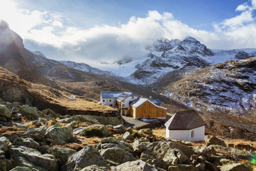
At the Wiesbadener Hut, you now descend back to the Silvretta Lake and follow the west shore back to the Madlener House. From there, you return to the Vermunt reservoir, where you parked your car.
If you have no reserves for the last few meters downhill, you can also take the public bus from Silvretta Lake down to Vermuntsee.
Equipment
Bring good, ankle-high hiking boots with good tread, sufficient provisions and drinks; hiking poles are recommended.
Tips
Due to high demand at the huts, we recommend reserving sleeping places directly at the huts early enough.
Destination
Vermuntsee
Starting Point
Wiesbadener Hut
Sicherheitstipps für Wandern in Vorarlberg
EN NOTRUF:
EN 140 - Alpine Notfälle österreichweit
EN 144 - Alpine Notfälle Vorarlberg
EN 112 - Euro-Notruf (funktioniert mit jedem Handy/Netz)