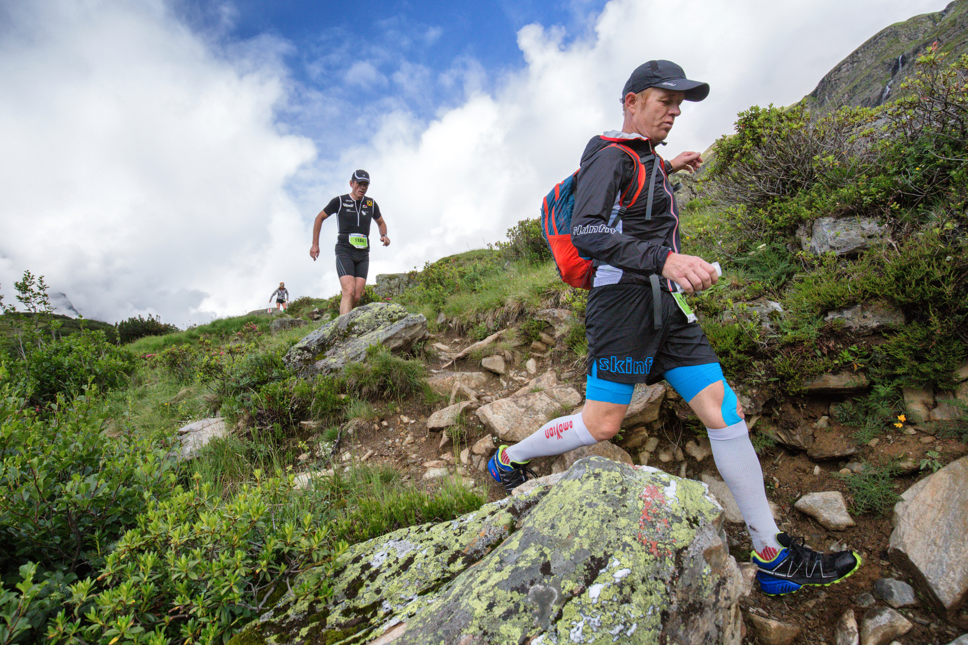
T15 Panoramatrail 15 km ​(​Montafon Arlberg Marathon St​.​ Anton am Arlberg​)​

Difficult
Rundtour
Trail running | Running · Round trip
03:00 h duration
14,8 km Length
1614 m Highest point
1275 m Lowest point
450 m Ascent
450 m Descent
Condition
Difficulty
Result
Landscape

Tour description

St. Anton am Arlberg Dorfstraße – Verwallsee – Sattelwaldweg – Moosbach – Friedhof – St. Anton am Arlberg Dorfstraße

Directions

After the start signal, the route ascends towards Verwallsee in the opposite direction of the T33 runners. Shortly before Verwallsee, you then turn onto the marathon route and run via the Sattelwaldweg back towards the finish area. Before you can celebrate at the finish, the descent into the valley again demands your highest concentration.

Safety instructions

EMERGENCY CALL: 144

European emergency number 112 (works with any mobile phone/network)

www.vorarlberg.travel/sicherheitstipps

Tips

On race day: There are three refreshment stations along the route with everything your heart desires.

Destination

St. Anton am Arlberg

Starting Point

St. Anton am Arlberg

Characteristics
Tour type Trail running | Running, Round trip
Difficulty Difficult
Elevation profile
Best time of year
Jan
Feb
Mär
Apr
Mai
Jun
Jul
Aug
Sep
Okt
Nov
Dez