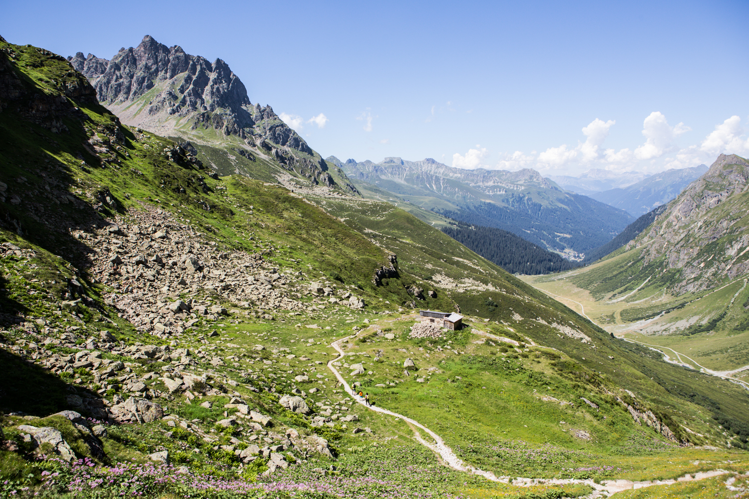
The long-distance hike starts at the Montafon Heimatmuseum in the center of Schruns. The route leads along the Veltlinerweg towards the football stadium, then continues over the Schrunser field and along the Illweg valley inward towards Silvretta. You walk past the district of Mauren, and upon arriving at Galgenul, you turn right into the Gargellen valley. You pass the Rütikapelle at Rüti and the small Fideliskapelle and then reach Gargellen, the highest village in Montafon. Slightly above Gargellen is the district of Vergalden. Upon arrival there, you branch into the Valzifenztal and hike past the Madrisa Hut, the lower and upper Valzifenz Alpine pastures as well as the customs hut (located slightly below the Schlappiner Joch). On the Schlappiner Joch is the national border between Austria and Switzerland.
The Via Valtellina then continues over Schlappin, Klosters-Platz, Wolfgang, Davos-Dorf, Dürrboden, Scalettapass, S-chanf, Zuoz, La Punkt-Chamuesch, Samedan, Pontresina, Bernina-Suot, Bernina Pass, Alp Grüm, Poschiavo, San Romerio to Tirano. The entire long-distance hike has 9 stages. Return trip by Rhaetian Railway over the spectacular Bernina and Albula route.
Heimatmuseum Schruns - Galgenul - Gargellen - Schlappiner Joch