Montafon Silvretta Circuit


Tour description
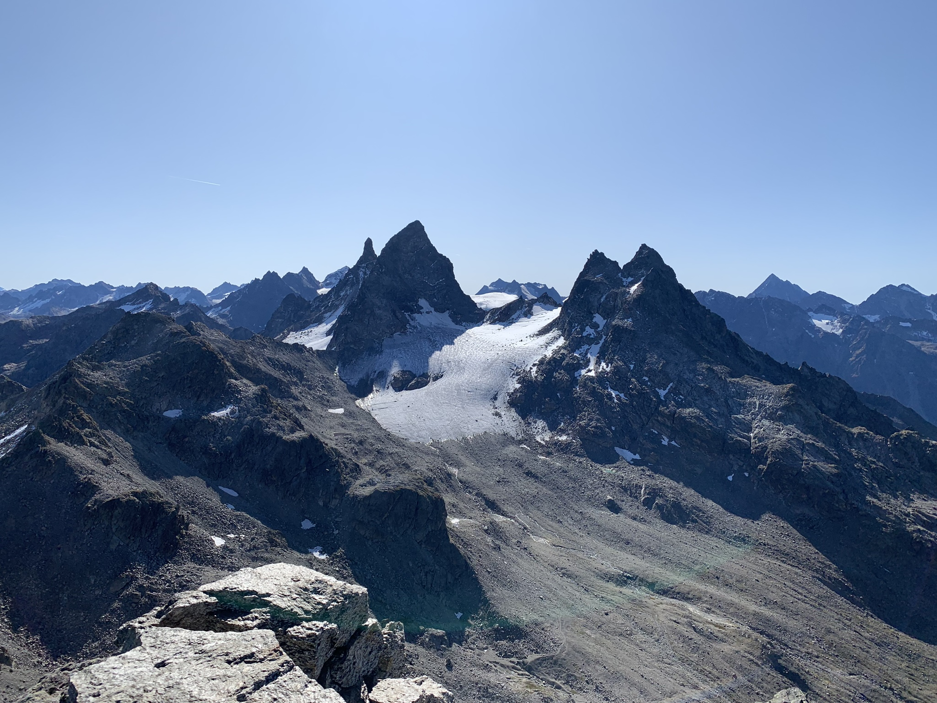
The Montafon Silvretta Circuit means: glaciers, barren rocks, no vegetation. On this long-distance trail, the entire character of the inhospitable and impressive Silvretta becomes tangible. In three stages, the route leads from Bielerhöhe past the highest mountains of Vorarlberg and over to Switzerland up to the tongue of the Silvretta Glacier. The circuit returns to the Silvretta lake through the Klostertal.
Approach
Coming from Bludenz take the Bludenz/Montafon motorway exit and follow the L188 into Montafon up to Silvretta Bielerhöhe (Silvretta high alpine road subject to tolls).
www.maps.google.com
Public transport
Just leave your car standing
The regional buses of the Montafonerbahn run throughout the Montafon. The main lines depart hourly from Schruns station.
You can reach Schruns station by the regional buses of the Montafonerbahn. The final stop is always Schruns station.
On foot, the path to the town center leads along the Bergknappenweg to Bartholomäberg.
vmobil.at
Arrival by train
From Bludenz station, the Montafonerbahn runs hourly (sometimes every half hour). There are also direct connections from Lindau (D) and Bregenz.
vmobil.at
Directions
Stage 1: Silvretta-Bielerhöhe - Tübinger Hut
From the Silvretta-Bielerhöhe bus stop, the hiking trail leads west through the Großvermunttal. The path runs slightly elevated past the end of the Vermunt reservoir before ascending to the Hochmadererjoch; it then continues slightly downhill to the Tübinger Hut.
Walking time approx. 4:30 h // approx. 9.7 km // Ascent 604 m, descent 439 m
Stage 2: Tübinger Hut - Silvretta Hut SAC (CH)
From the Tübinger Hut, climb up to the Plattenjoch. Here you cross the border into Switzerland. The route continues downhill past several mountain lakes heading south to the Seetalsee, where the Seetal self-catering hut is located. Shortly before the Seetal hut there is another ascent to the “Scharte”. Then it is downhill with only a slight ascent to the Silvretta Hut SAC.
Walking time approx. 6:30 h // approx. 12 km // Ascent 1,324 m, descent 1,186 m
Stage 3: Silvretta Hut SAC (CH) - Silvretta-Bielerhöhe
From the Silvretta Hut SAC, climb up to the “Red Furka”, passing the glacier tongue of the Silvretta Glacier. At the pass, you cross the border back into Austria. The final section goes downhill through the Klostertal to the Silvretta lake and further to Silvretta-Bielerhöhe. On the way, you pass the Klostertal Environmental Hut (self-catering hut).
Walking time approx. 3:30 h // approx. 10.3 km // Ascent 361 m, descent 663 m
Equipment
Sturdy footwear
(warm clothing even in midsummer)
Tips
Due to high demand at the huts, we recommend reserving sleeping places directly at the huts early enough.
Destination
Silvretta-Bielerhöhe, Silvretta lake bus stop
Starting Point
Silvretta-Bielerhöhe, Silvretta lake bus stop
Sicherheitstipps für Wandern in Vorarlberg
EN NOTRUF:
EN 140 - Alpine Notfälle österreichweit
EN 144 - Alpine Notfälle Vorarlberg
EN 112 - Euro-Notruf (funktioniert mit jedem Handy/Netz)


