Montafon ​-​ Walgau round

Difficult
Einkehrmöglichkeit
Rundtour
Refreshment stops · Round trip · Tschagguns
06:30 h duration
73,3 km Length
874 m Highest point
468 m Lowest point
807 m Ascent
807 m Descent
Condition
Technique
Difficulty
Result
Landscape

Tour description

From the Montafon into the Walgau and back via a scenic loop: This extensive bike tour connects diverse landscapes, towns, and viewpoints. Covering about 73 kilometers with an elevation gain of approximately 807 meters, the tour requires a good level of fitness, while longer, easy-to-ride sections ensure a well-balanced experience.

The starting point is the Aktivpark Montafon in Schruns-Tschagguns. From here, the route first takes you out of the valley via Vandans and Lorüns to Bludenz and on to Nüziders.

Now you’ll leave the valley floor and tackle the longer climb up toward Thüringerberg. As you gain elevation, beautiful views of the Walgau and the surrounding mountains open up. The route then continues via Schnifis to Satteins.

From there, head toward Schwarzer See, which is a great spot for a short break. The loop then leads back down via Göfis to Frastanz.

Once you arrive in the Walgau, continue along the route to Nenzing and then back toward Nüziders. From there, the loop heads once again toward the Brandnertal. At the appropriate turnoff, head toward Bürs and you’ll eventually return to Bludenz.

From Bludenz, the final leg takes you back to the Montafon. Via Lorüns and Vandans, you’ll eventually reach the Aktivpark Montafon in Schruns-Tschagguns once again.
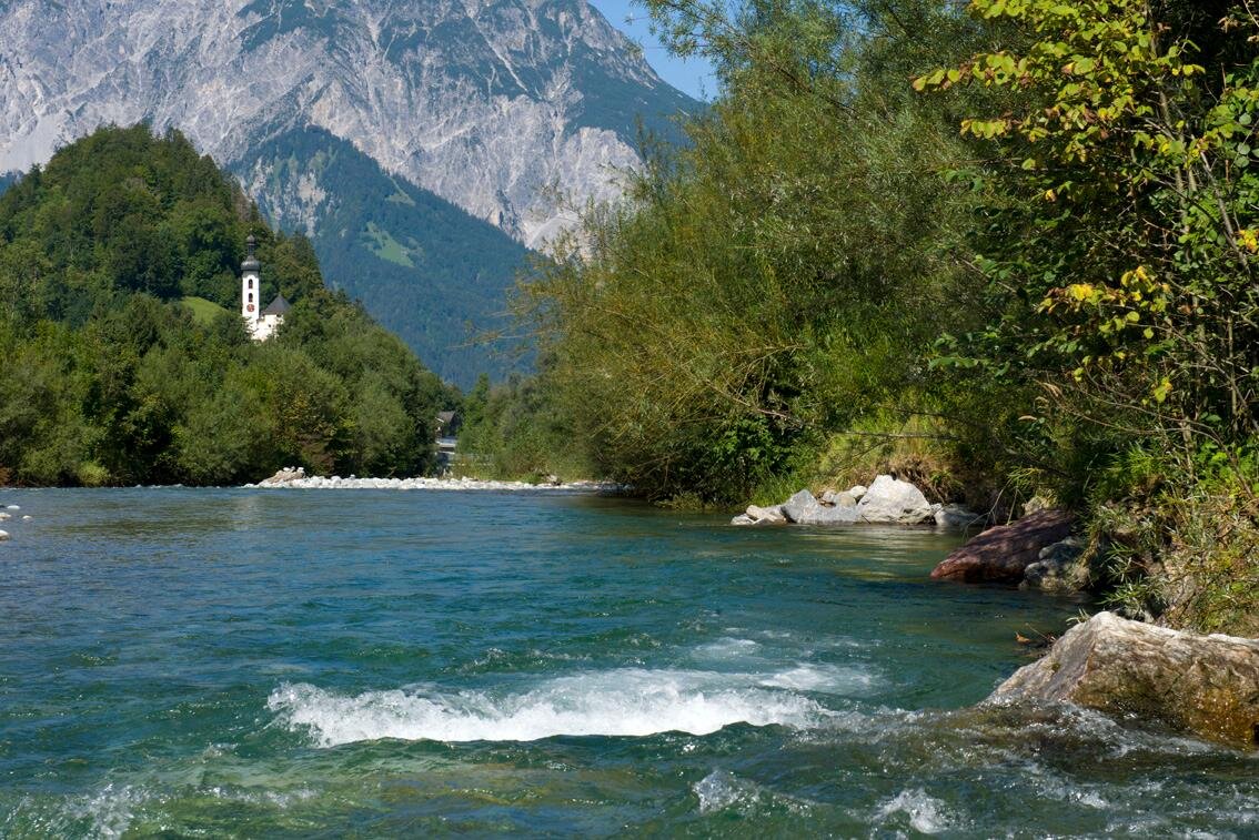
Nature of the Tour

The Montafon–Walgau Loop thrives on the contrast between the valley floor and higher elevations. While longer sections through the Walgau are relatively easygoing, the climbs add elevation gain and a challenging variety to the tour.

At approximately 73.3 kilometers, with 807 meters of elevation gain and loss, and a riding time of about 6.5 hours, this loop is an extensive day trip for cyclists in good physical condition.

Important Information

Note on the route:

Parts of the GPX route run along federal highways. Alternatively, you can always switch to bike paths. These are mostly paved and only occasionally covered with fine gravel.

Tips

Schwarzer See: This small mountain lake between Satteins and Göfis is the perfect spot for a break away from the larger towns.

Discover the towns: Bludenz, Schnifis, Satteins, Frastanz, and Nenzing offer great opportunities to combine the tour with a stop for refreshments or a brief break.

Pace Yourself: The climb toward Thüringerberg doesn’t begin until after a few kilometers. Pace yourself accordingly and make sure to bring enough food and water for the entire loop.

Customize your tour: Since the route passes through several larger towns in the Walgau region, you can shorten it or tailor it to your needs at various pointsalong the way.

Characteristics
Tour type Refreshment stops, Round trip
Difficulty Difficult
Start Aktivpark Montafon
Finish Aktivpark Montafon
Elevation profile
Best time of year
Jan
Feb
Mär
Apr
Mai
Jun
Jul
Aug
Sep
Okt
Nov
Dez