Via Alpina - Montafon - St. Antönien to Gargellen

Tour description
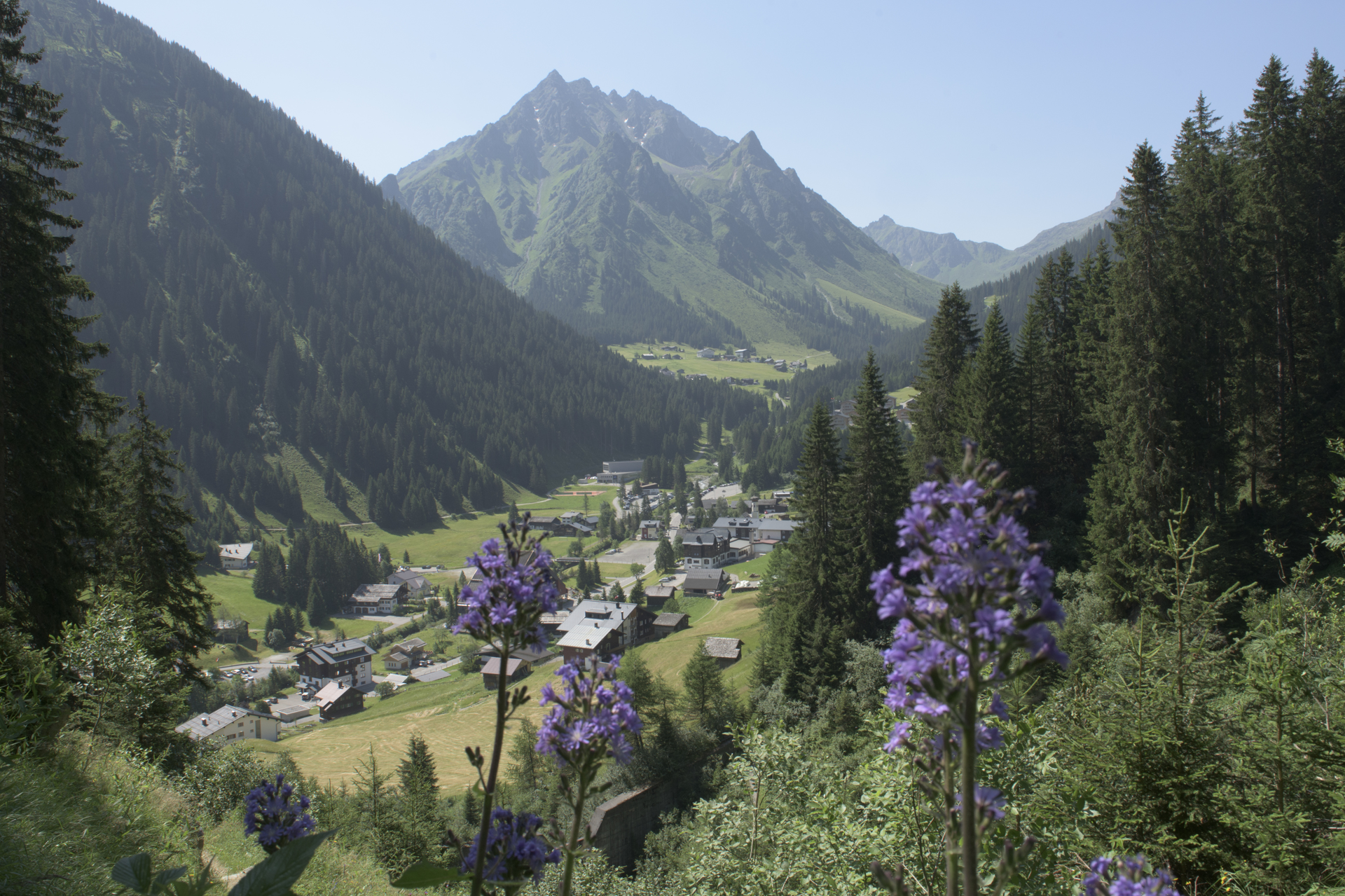
Border crossing. From St. Antönien, the further route leads you over the St. Antönier Pass (border between Austria and Switzerland) down to Gargellen.Directions
From St. Antönien square with the very beautiful gothic church, which was built in 1493, you reach after a short walk the junction leading into the Gafia. At the small settlement Dörfji, you branch off towards the St. Antönier Pass, also called Gargäller Pass. The hiking trail climbs steeply over the managed alpine meadows heading to the St. Antönier Pass at 2,379 m above sea level.
The Antönier Pass forms the border between Austria and Switzerland. Just below the pass, you can choose between two route variants. Either you follow the steeper but more direct path over the high pastures of the Gargellner Alp, through the Gargellner Alptobel and via Rüti to Gargellen (1,423 m), or you turn right just below the pass and follow the easier path at the foot of the Gargellner Köpfe to the upper station (2,130 m) of the Schafberg cable car. With the cable car, you can comfortably descend to Gargellen. Mountain views extend to the Bernina group, and on clear days to Monte Rosa. From the St. Antönier Pass approx. 50 min. 02 Central Alpine Trail, The Great Walser Way
Equipment
Weather-appropriate clothing
Sturdy footwear with good tread sole
Enough to drink, and a snack if needed
Tips
For assistance descending, you can use the Gargellen cable car.
Destination
Gargellen, center
Starting Point
St. Antönien (Switzerland)
Sicherheitstipps für Wandern in Vorarlberg
EN NOTRUF:
EN 140 - Alpine Notfälle österreichweit
EN 144 - Alpine Notfälle Vorarlberg
EN 112 - Euro-Notruf (funktioniert mit jedem Handy/Netz)


