Via Alpina - Montafon - St. Antönien to Gargellen
Mountaineering
· Refreshment stops
· Multi-day tour
05:15 h
duration
10,5 km
Length
2377 m
Highest point
1408 m
Lowest point
963 m
Ascent
968 m
Descent

Tour description
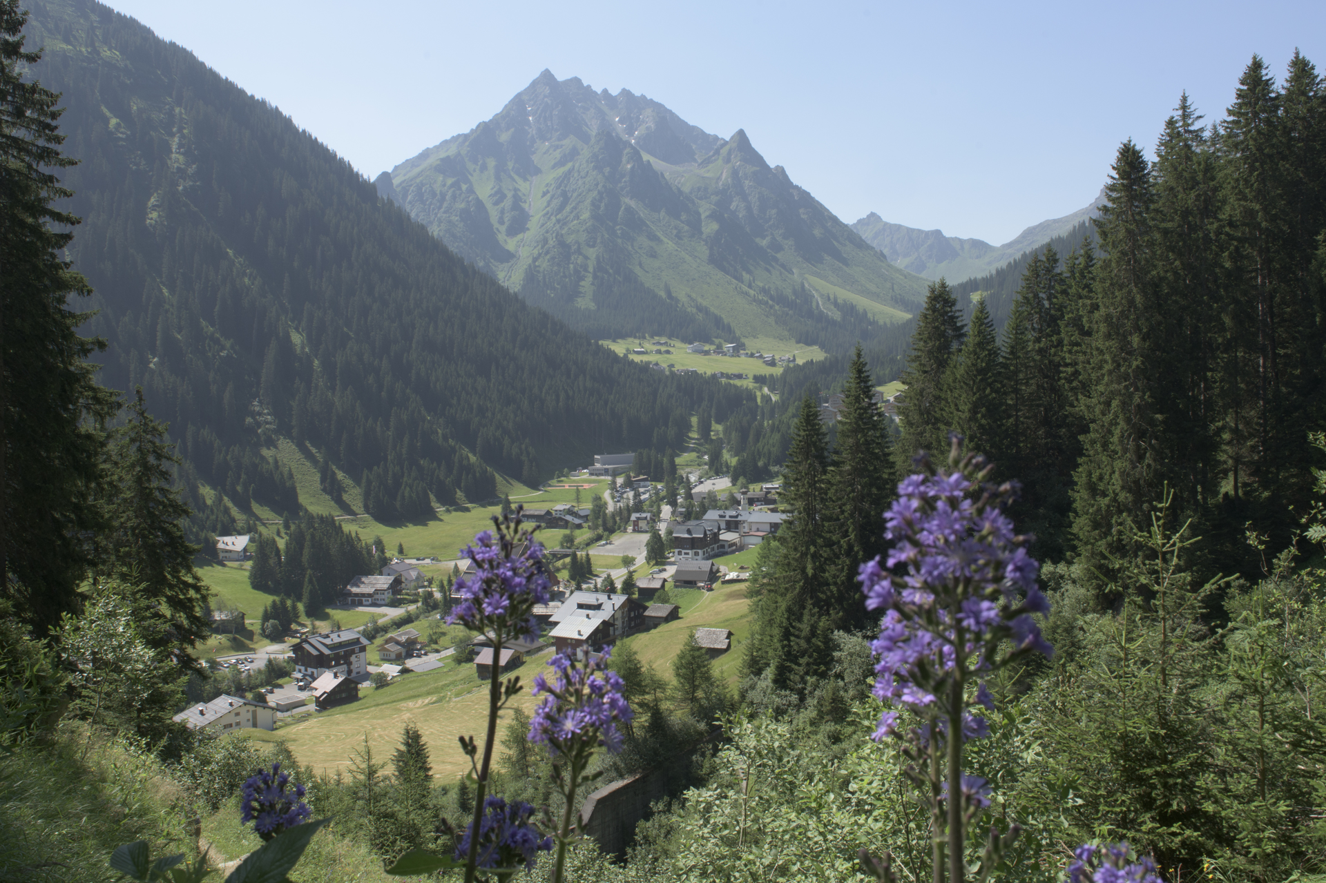
Border crossing. From St. Antönien, the further route leads you over the St. Antönier Pass (border between Austria and Switzerland) down to Gargellen.Sicherheitstipps für Wandern in Vorarlberg
EN NOTRUF:
EN 140 - Alpine Notfälle österreichweit
EN 144 - Alpine Notfälle Vorarlberg
EN 112 - Euro-Notruf (funktioniert mit jedem Handy/Netz)
Characteristics
Tour type
Mountaineering, Refreshment stops, Multi-day tour
Difficulty
Difficult
Elevation profile
Best time of year
Jan
Feb
Mär
Apr
Mai
Jun
Jul
Aug
Sep
Okt
Nov
Dez


