Tour description
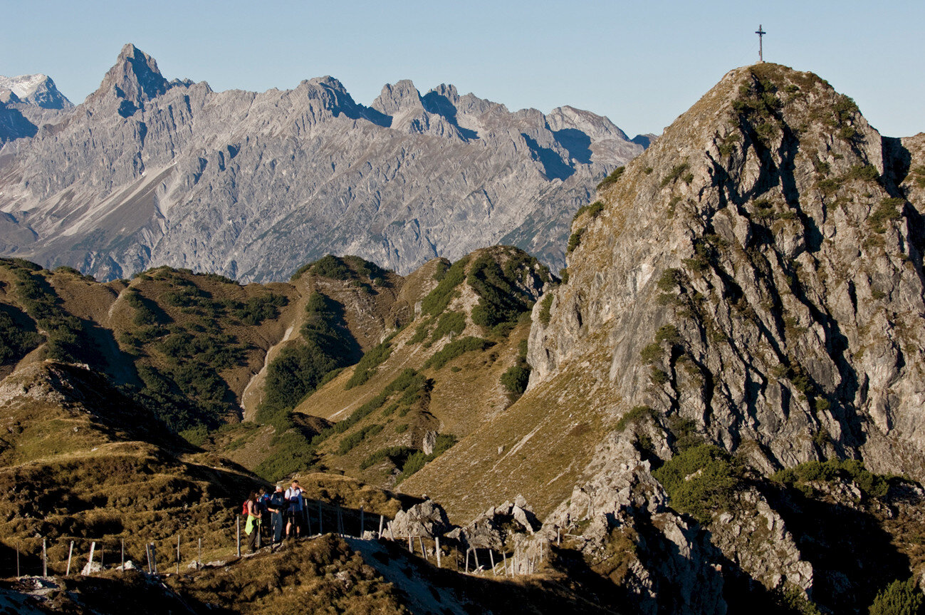
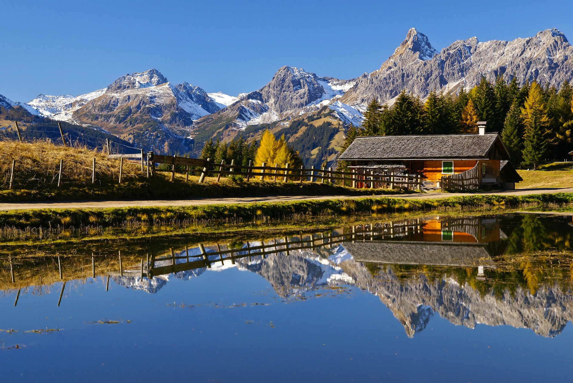
This Montafon mountain circuit, Around the Itonskopf, can probably best be described with the following three words. Scenic, historic and picturesque.
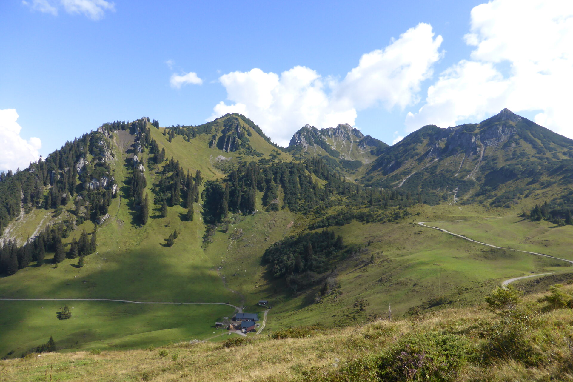
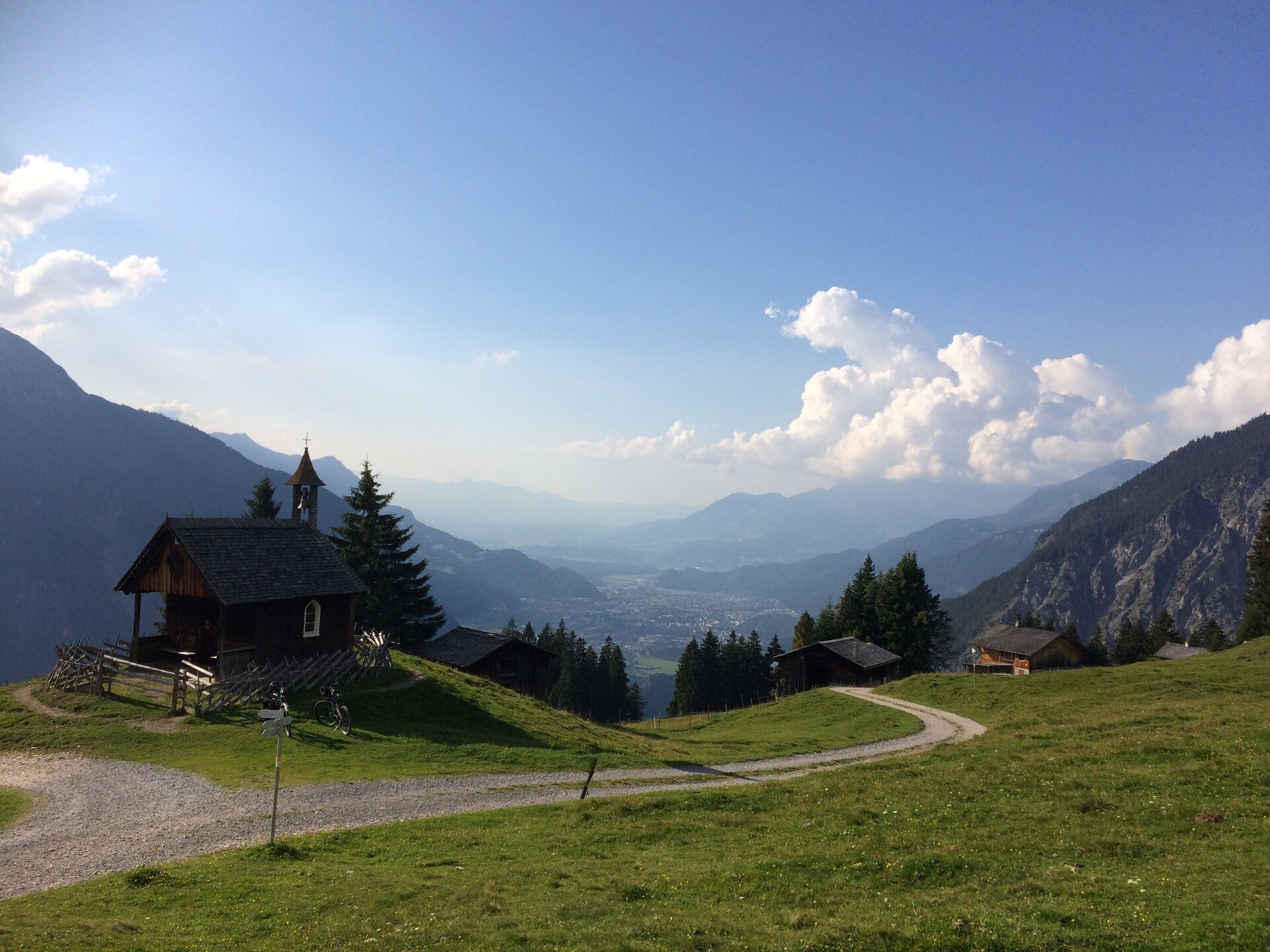
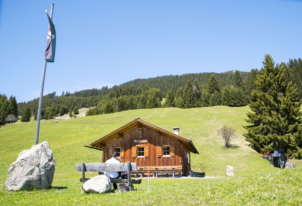
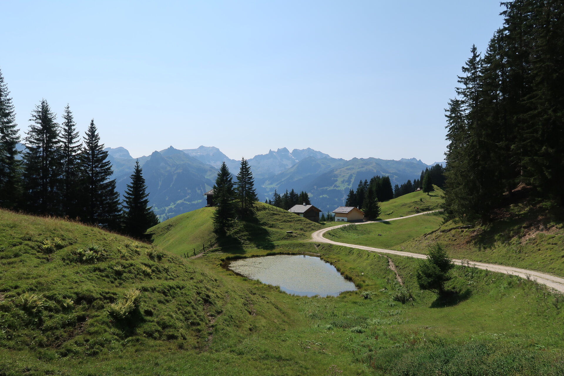
After starting at the Baroque church at Bartholomäberg, the path leads you up to the Alpengasthaus Rellseck. This is perfect for a mountain breakfast. From here you have a fantastic view over the alpine town of Bludenz as well as into the Walgau. The path continues up to the highest point of this route, the Alplegi. At Alplegi you are exactly 1,800 meters above sea level. The further path leads down to Alpe Latons. The Alpe Latons is served from mid-June to early September depending on the weather. After Alpe Latons you move across a short flat section directly onto the hiking trail on the back side of the Itonskopf. The hiking trail here is shaped by a continuous up and down. After about 20 minutes you reach a viewpoint with a bench. A short break is definitely worthwhile here. A wonderful view into the Klostertal makes you forget any effort. From here, the path goes over Fritzensee and the historic mine, back to Bartholomäberg.