Bike and Hike Muttjöchle
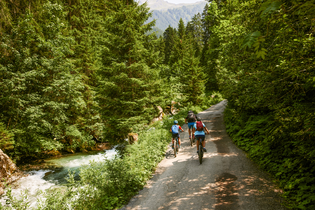
Difficult
Bike & Hike
Einkehrmöglichkeit
(E-)Mountainbiken · Bike & Hike · Refreshment stops
07:00 h duration
45,9 km Length
2073 m Highest point
674 m Lowest point
1470 m Ascent
1470 m Descent
Condition
Technique
Difficulty
Result
Landscape

Tour description

Beautiful views in and out of the Montafon natural landscapes, from the untouched wild stream to the fantastic panoramic view at the summit of Muttjöchle (2,074 m).

Sicherheitstipps für Mountainbike in Vorarlberg

NOTRUF:

140 Alpine Notfälle österreichweit 

144 Alpine Notfälle Vorarlberg 

112 Euro-Notruf (funktioniert mit jedem Handy/Netz) 

Characteristics
Tour type (E-)Mountainbiken, Bike & Hike, Refreshment stops
Difficulty Difficult
Elevation profile
Best time of year
Jan
Feb
Mär
Apr
Mai
Jun
Jul
Aug
Sep
Okt
Nov
Dez