Connecting trail Tschagguns​-​Vandans

Easy
Cross-country skiing
01:02 h duration
5,92 km Length
687 m Highest point
630 m Lowest point
1 m Ascent
57 m Descent
Condition
Difficulty
Result
Landscape

Tour description

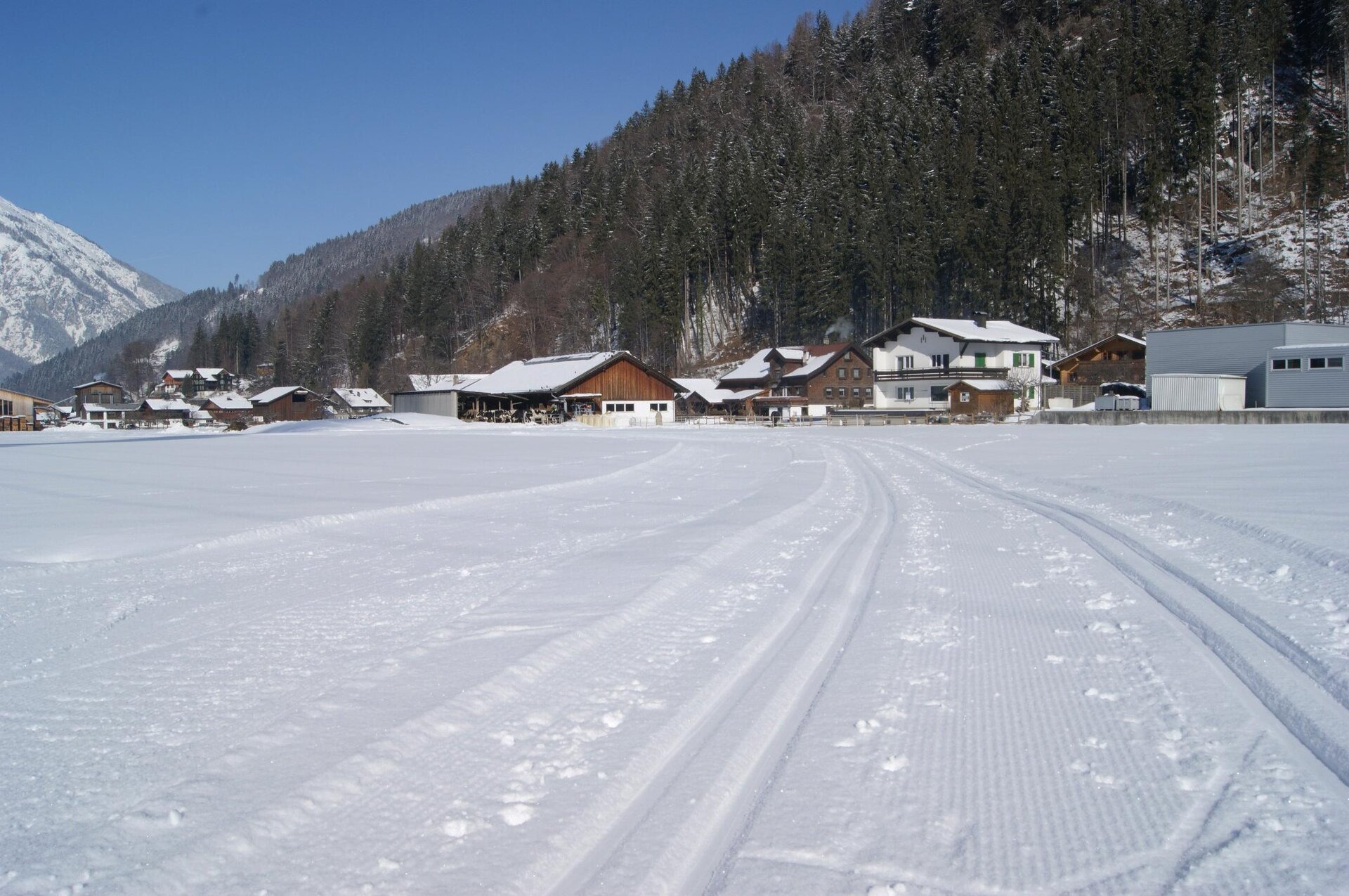
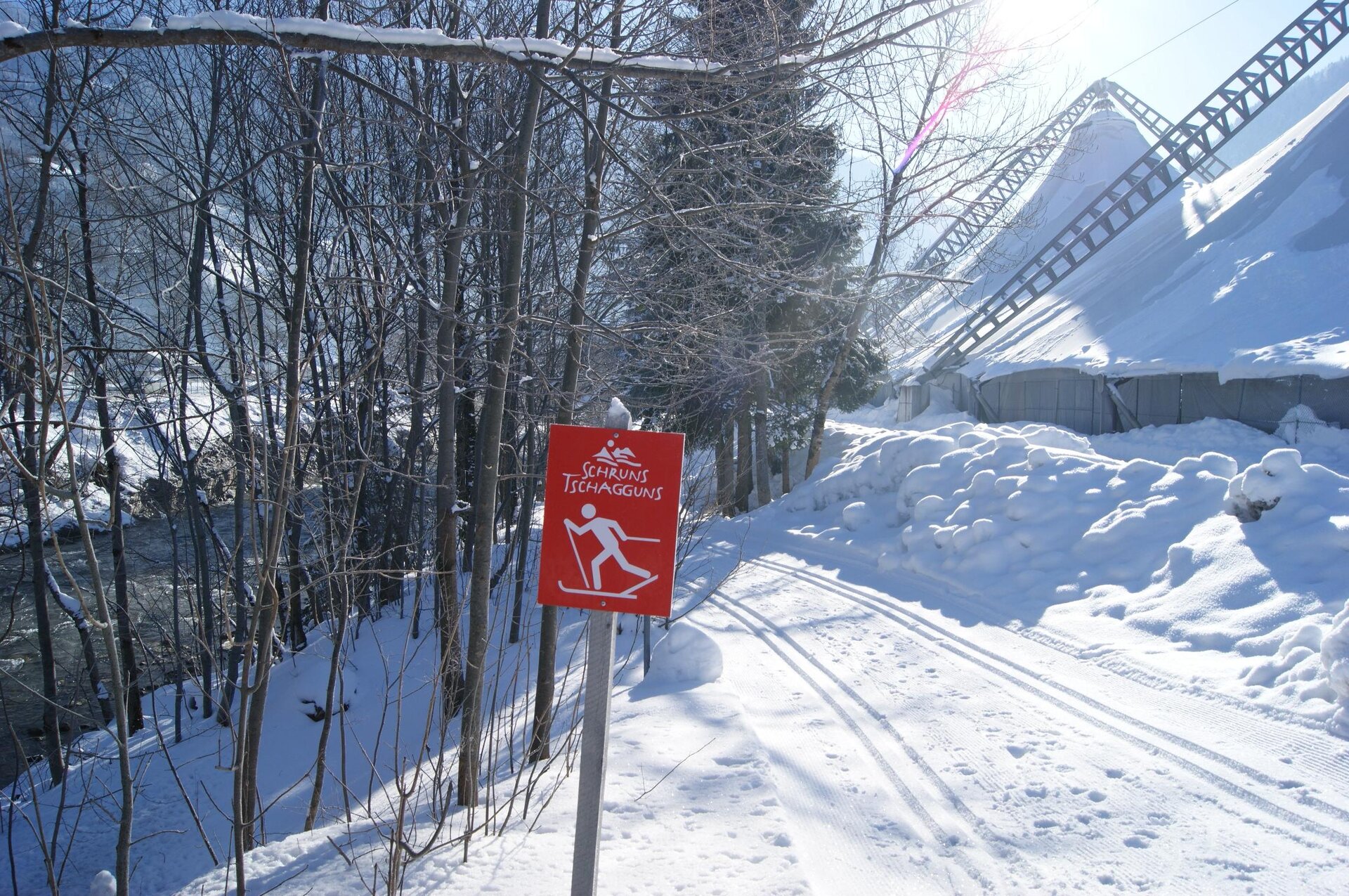
End Golfplatzweg Zelfen Tschagguns - End Illstraße - Aktivpark Montafon - Tschaggunser Au - Tschagguns train station - Heating plant - Kaltenbrunnen train station - Gantschier - Roter Stein - Vandans train station

The access points are located at the golf course, Aktivpark Montafon, Tschagguns train station, Kaltenbrunnen train station, Roter Stein, or in Bahnhofstraße in Vandans (slightly above the train station).

The trails are mainly set for classic style; some sections are also possible for skating.
Sicherheitstipps für Langlaufen in Vorarlberg

NOTRUF:

140 - Alpine Notfälle österreichweit 

144 - Alpine Notfälle Vorarlberg 

112 - Euro-Notruf (funktioniert mit jedem Handy/Netz) 

Wetterbedingt kann es vorkommen, dass die Loipen nicht täglich frisch gespurt werden. Je nach Schnee- und Wetterverhältnissen kann es zu Änderungen kommen.

Characteristics
Tour type Cross-country skiing
Difficulty Easy
Elevation profile
Best time of year
Jan
Feb
Mär
Apr
Mai
Jun
Jul
Aug
Sep
Okt
Nov
Dez