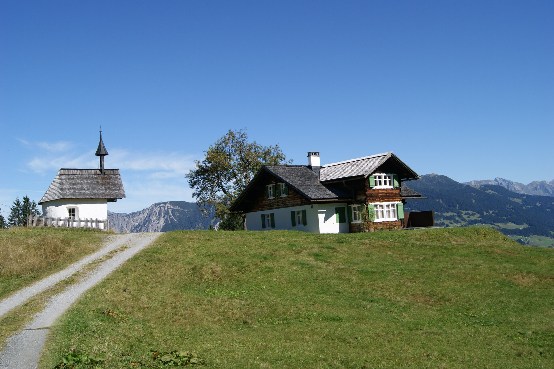
From old Maisäß settlements on little​-​frequented paths to the high alpine Latschätz

Moderate
Einkehrmöglichkeit
Rundtour
Bergbahnauf-/-abstieg
Hiking · Bergbahnauf-/-abstieg · Refreshment stops · Round trip
02:35 h duration
6,72 km Length
1930 m Highest point
1469 m Lowest point
497 m Ascent
92 m Descent
Condition
Difficulty
Result
Landscape

Tour description

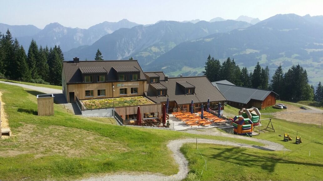
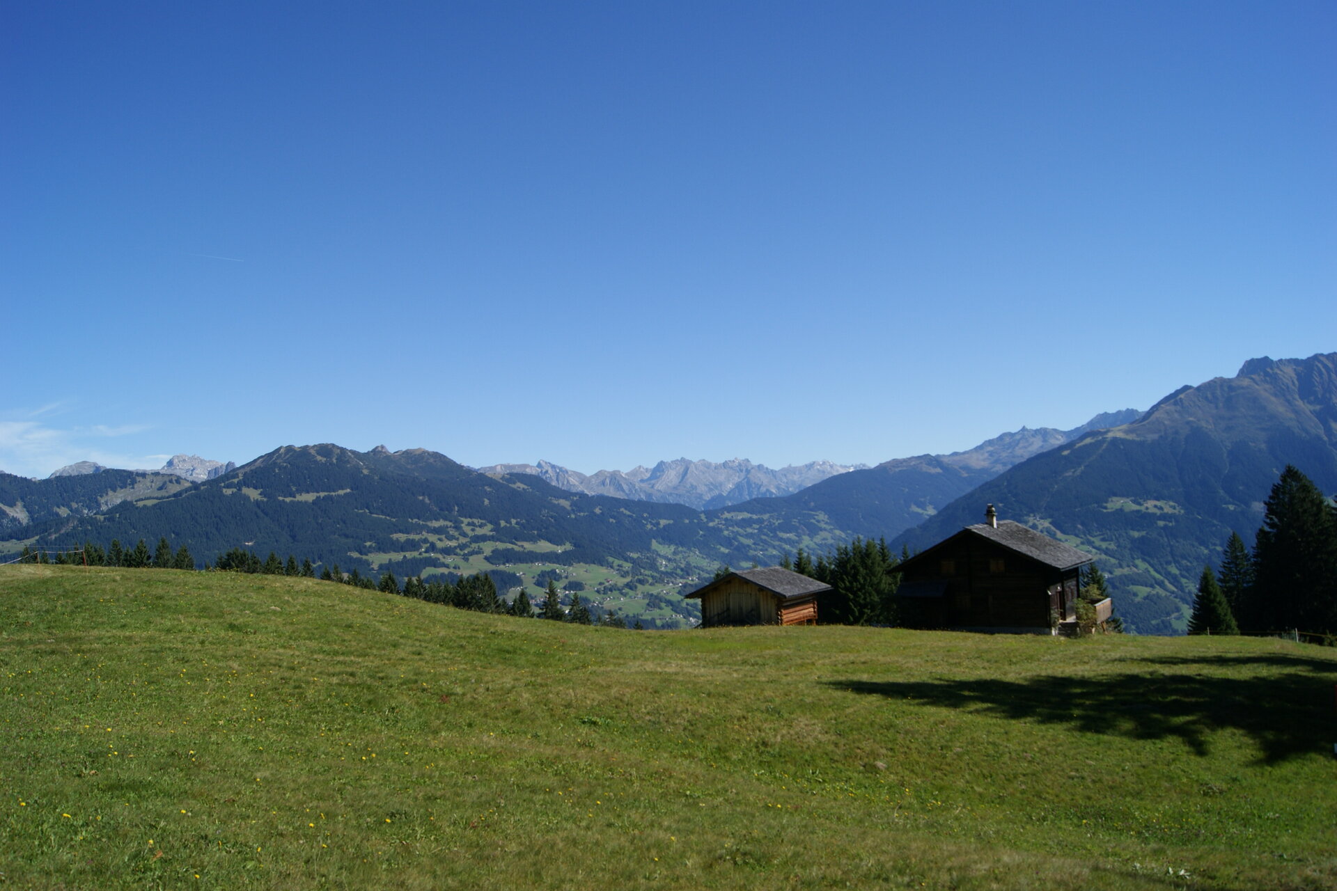
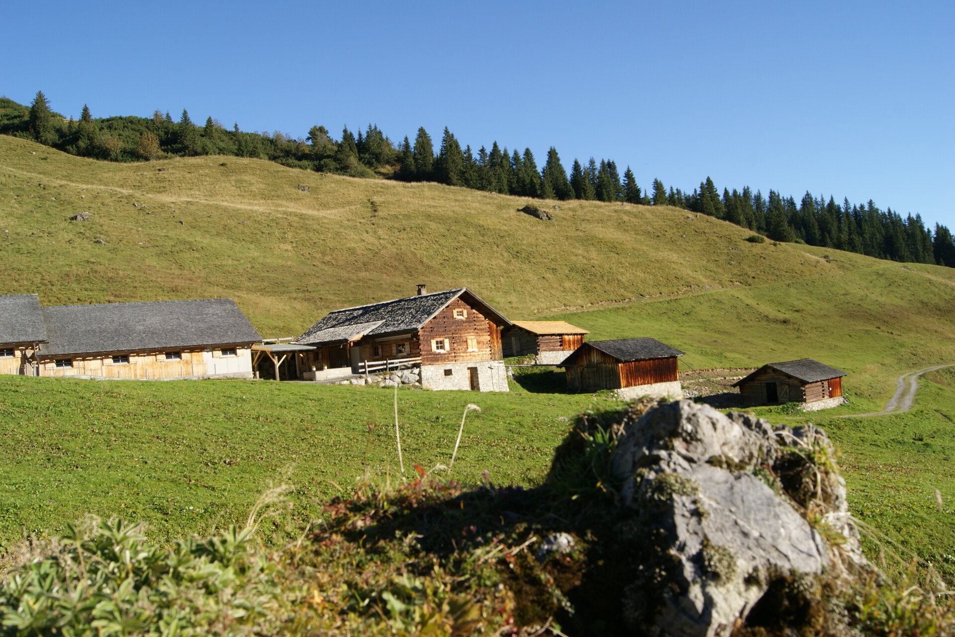
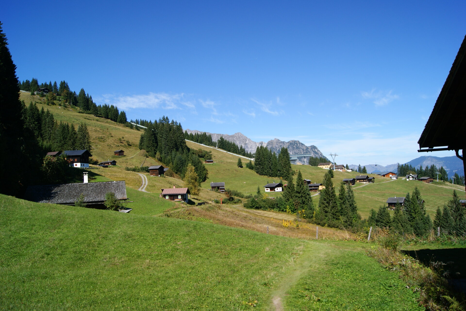
Golmerbahn middle station Matschwitz - Plazadels - Wachters Dieja - Alpe Latschätz - Golmerbahn top station Grüneck Already at the beginning of the 17th century the Walser settled the Gauertal. During this time the Maisäß settlements Plzadels and Wachters Dieja were established. The settlements were part of the three-level agriculture, where the Maisäß were inhabited for a few weeks from May to June depending on the weather, before the cattle moved up to the alps for the summer. From Wachters Dieja the hike continues to the Alpe Latschätz and to the top station of the Golmerbahn.
Sicherheitstipps für Wandern in Vorarlberg

EN NOTRUF:

EN 140 - Alpine Notfälle österreichweit 

EN 144 - Alpine Notfälle Vorarlberg 

EN 112 - Euro-Notruf (funktioniert mit jedem Handy/Netz) 

Characteristics
Tour type Hiking, Bergbahnauf-/-abstieg, Refreshment stops, Round trip
Difficulty Moderate
Elevation profile