Gaschurn "Gosta" route

Easy
Rundtour
Winter hiking · Round trip
01:00 h duration
2,57 km Length
1085 m Highest point
977 m Lowest point
129 m Ascent
129 m Descent
Condition
Technique
Difficulty
Result
Landscape

Tour description

Gaschurn, center - Obere Gosta - Valschavielstraße - Winkel - Untere Gosta - Gaschurn, center

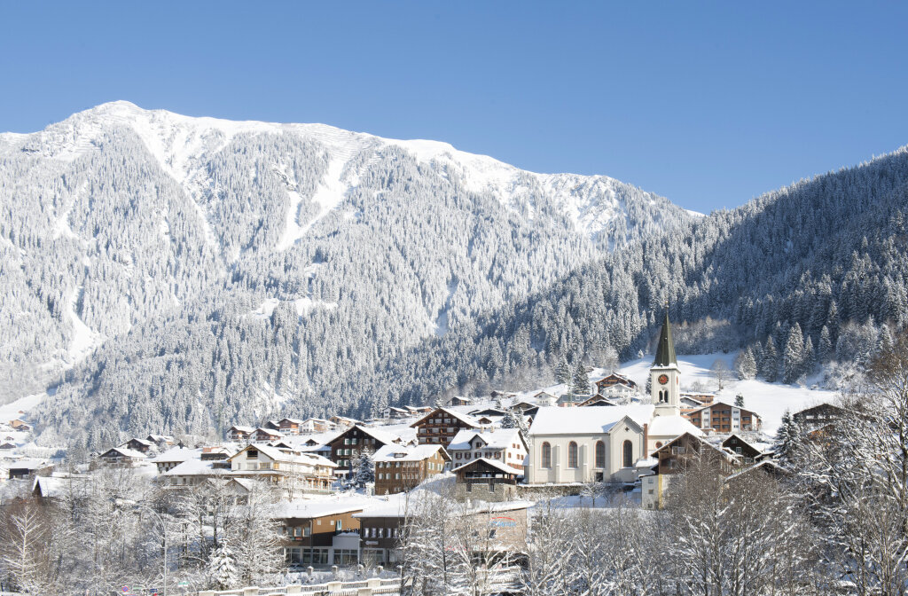
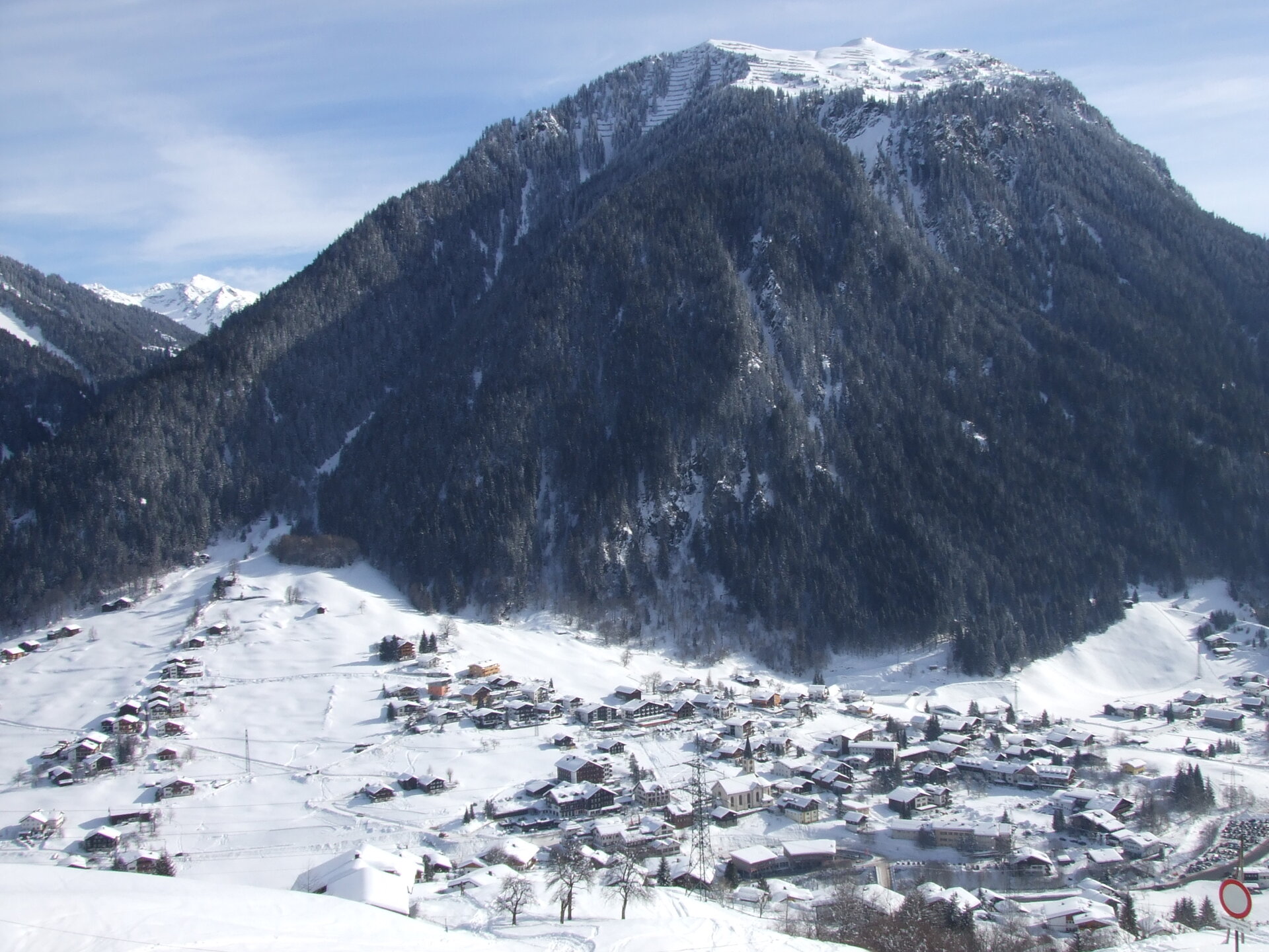
A beautiful route through Gaschurn where you can admire the beautiful mountain world and nature. At the highest point of the route, you can observe the impressive valschavielbach, which may look inconspicuous at first. However, during heavy rain, this brook turns into a raging mountain stream. Before you cross the bridge over the Valschavielbach again, you will pass the adventure playground. There the children can romp around in the middle of the forest and nature before returning to the starting point in the center of Gaschurn.
Sicherheitstipps für Winterwandern in Vorarlberg

NOTRUF:

140 - Alpine Notfälle österreichweit 

144 - Alpine Notfälle Vorarlberg 

112 - Euro-Notruf (funktioniert mit jedem Handy/Netz) 

Wetterbedingt kann es vorkommen, dass die Wanderwege nicht täglich frisch gespurt werden. Je nach Schnee- und Wetterverhältnissen kann es zu Änderungen kommen.

Characteristics
Tour type Winter hiking, Round trip
Difficulty Easy
Elevation profile
Best time of year
Jan
Feb
Mär
Apr
Mai
Jun
Jul
Aug
Sep
Okt
Nov
Dez