Aktivpark Montafon – Illweg – Tschagguns – Latschaustraße – Latschau – Gafazutweg – Grabs – Berggasthof Grabs – Bitschweil – Aktivpark Montafon
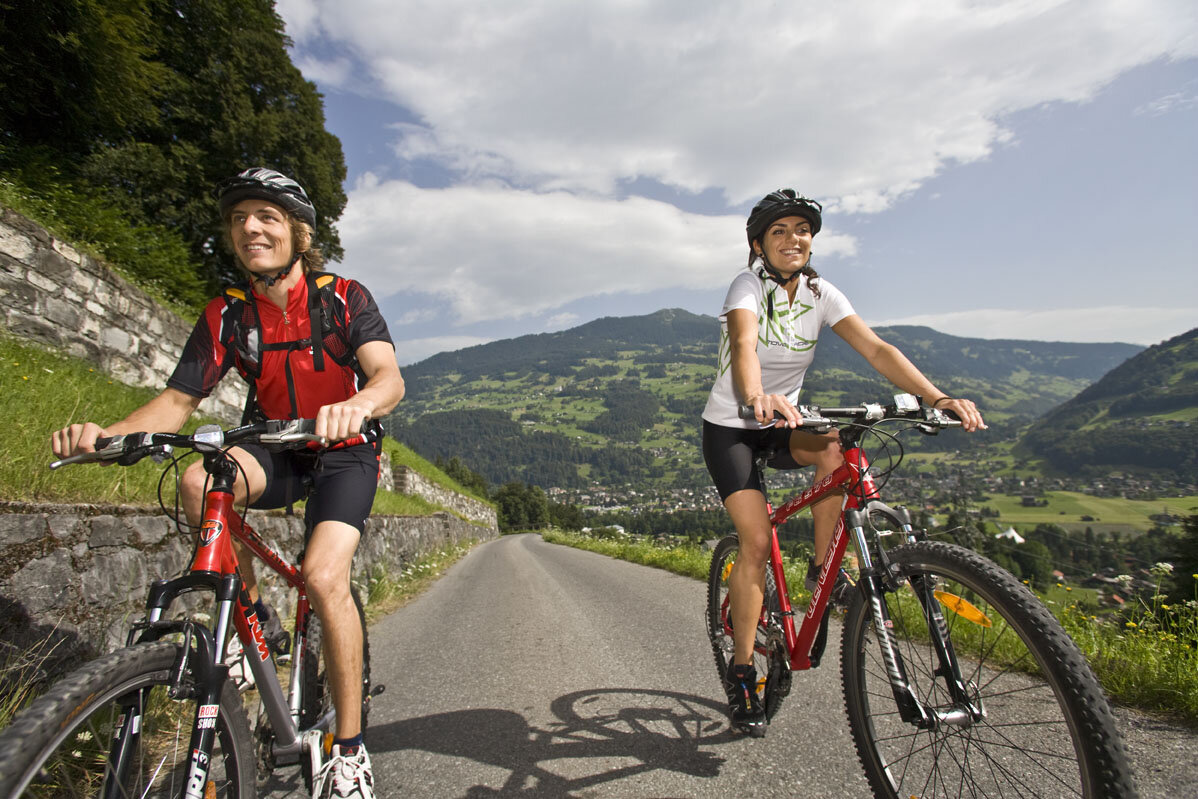
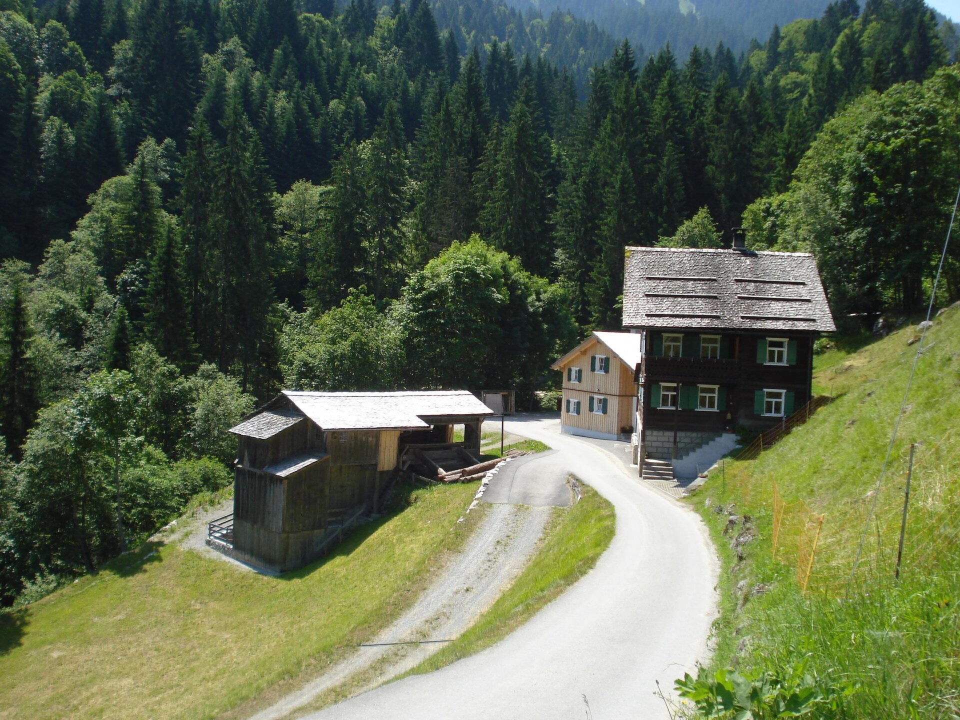
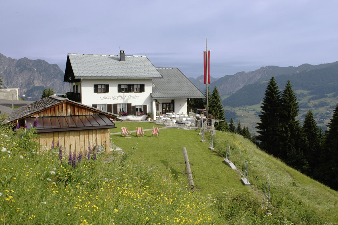
From Aktivpark Montafon in Schruns-Tschagguns, the route leads through the center of Tschagguns over a short but steep climb to Latschau. If you want to take a break here, you can use the extensive offerings of Flying-Fox-Golm, Waldseilpark-Golm, or Alpine-Coaster-Golm. The path continues along the Gafazutweg to Berggasthof Grabs, the highest point of the route. After a hearty snack, it goes downhill via the Oberstufe Gampadels power plant to Bitschweil. The route then follows the paved but winding and narrow Bitschweilerstraße back to the starting point at Aktivpark Montafon in Schruns-Tschagguns.
Sicherheitstipps für Mountainbike in Vorarlberg
NOTRUF:
140 Alpine Notfälle österreichweit
144 Alpine Notfälle Vorarlberg
112 Euro-Notruf (funktioniert mit jedem Handy/Netz)