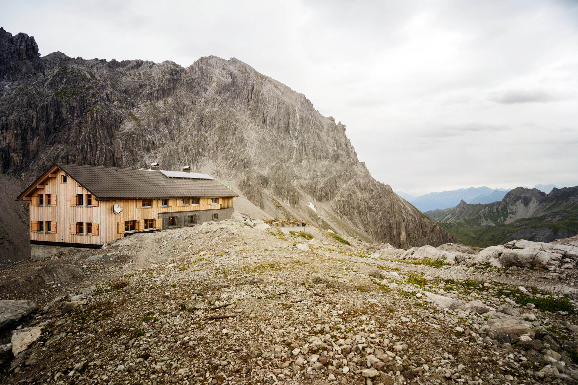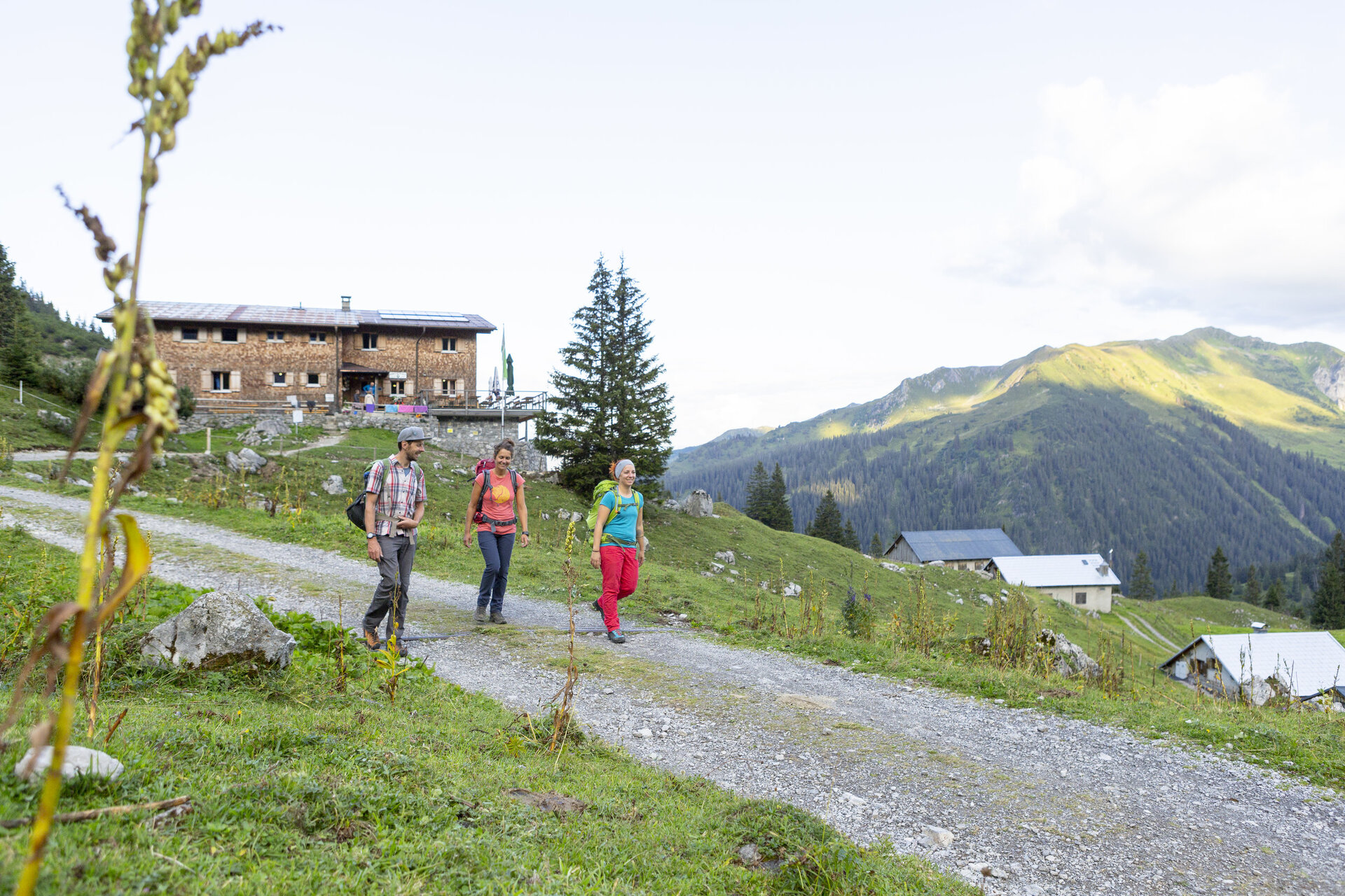
Hut route Lünersee-Rätikon "easy" - Heinrich Hueter Hut to Totalphütte
Mountaineering
· Refreshment stops
03:40 h
duration
7,70 km
Length
2384 m
Highest point
1749 m
Lowest point
856 m
Ascent
238 m
Descent

Tour description
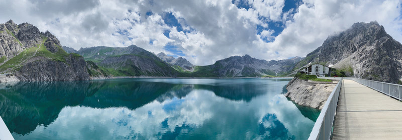
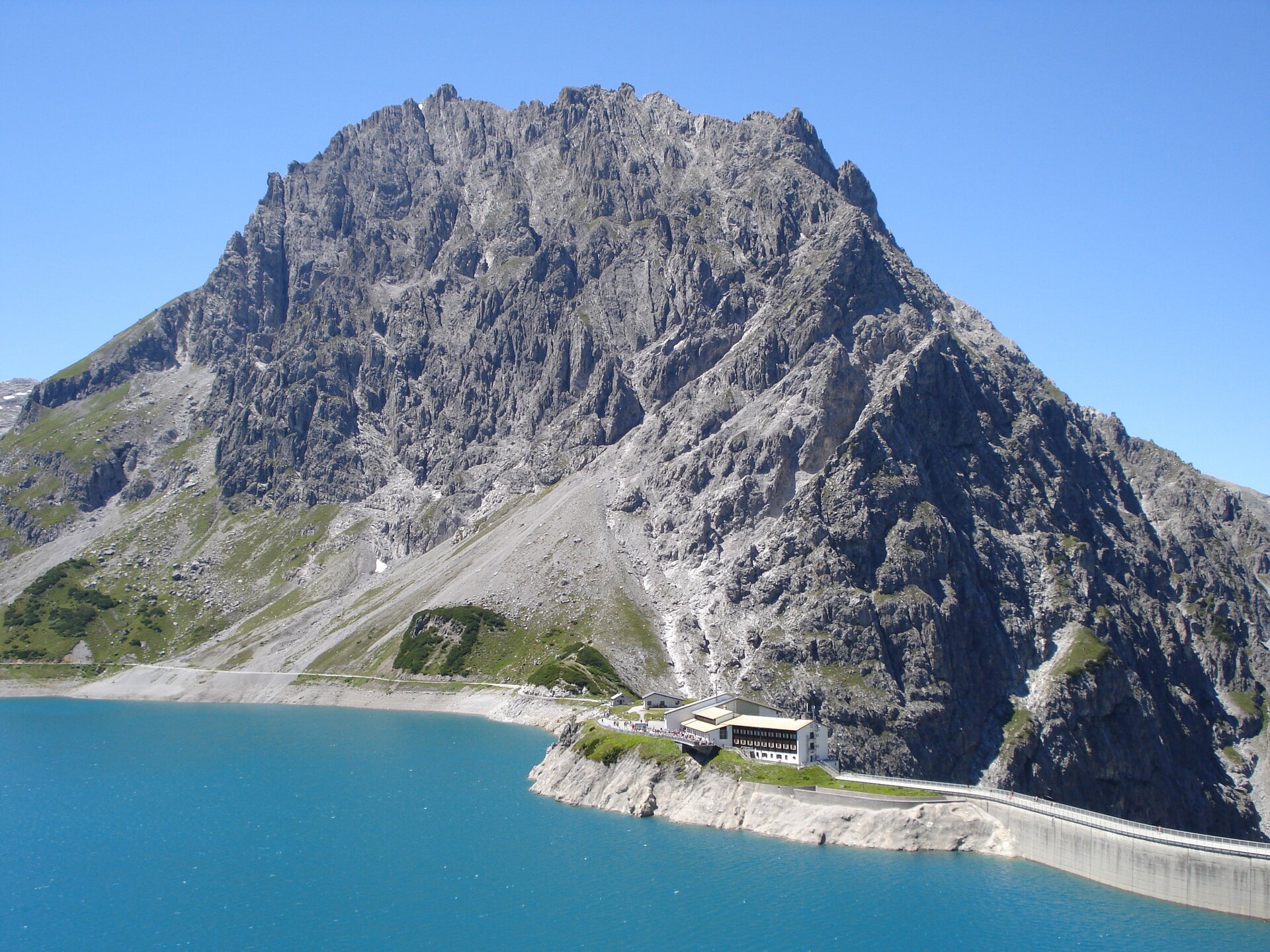
A varied high mountain route in the Rätikon. With a breathtaking view, it goes through the Lünerkrinne to the Lünersee and along the shore of the lake to the Totalphütte at the foot of the Schesaplana.
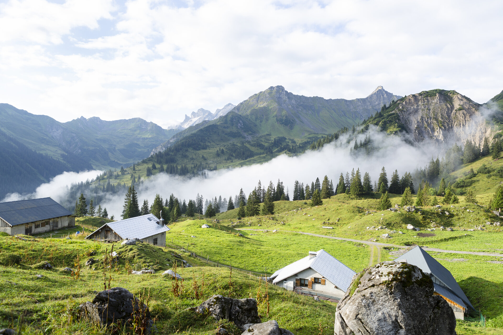
A route for mountain lovers who appreciate the natural beauty of the mountains as well as refined, regional cuisine. The hiking trails lead through the varied Rätikon. The limestone rock of the Rätikon in contrast to the blooming alpine meadows on the steep mountain walls shape the character of this stage.
Sicherheitstipps für Wandern in Vorarlberg
EN NOTRUF:
EN 140 - Alpine Notfälle österreichweit
EN 144 - Alpine Notfälle Vorarlberg
EN 112 - Euro-Notruf (funktioniert mit jedem Handy/Netz)
Characteristics
Tour type
Mountaineering, Refreshment stops
Difficulty
Moderate
Elevation profile
Best time of year
Jan
Feb
Mär
Apr
Mai
Jun
Jul
Aug
Sep
Okt
Nov
Dez