Large village circular hiking route ​(​Geological hiking route​)​

Moderate
Rundtour
Hiking · Round trip
02:30 h duration
8,93 km Length
1616 m Highest point
1385 m Lowest point
453 m Ascent
375 m Descent
Condition
Difficulty
Result
Landscape

Tour description

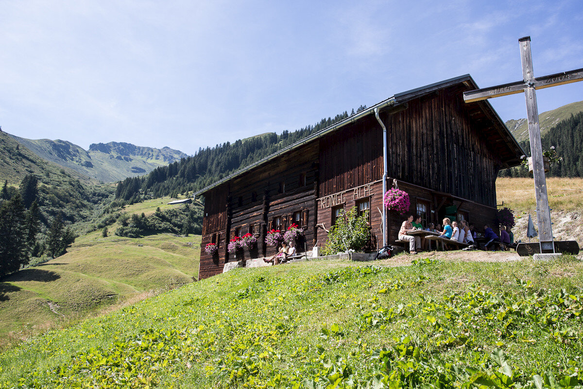
Town center - Vergalden - Langer Stall - Gitzistee - Rüti - "Gargellner Windows" - Alpe Rongg - Röbi Maisäß - Town center

The "Gargellner Windows" were formed by the collision of igneous rock and limestone. As a result, rounded, eroded mountain shapes are found directly next to bizarre peaks. Daphne blooms in the rock crevices, alpine roses grow next to orchids, and swamp flora spreads in small ponds.

The "Gargellner Windows" can be seen near the Rongg waterfall, in the Rongg and Röbibach gorges, and above the house Rüti.
Sicherheitstipps für Wandern in Vorarlberg

EN NOTRUF:

EN 140 - Alpine Notfälle österreichweit 

EN 144 - Alpine Notfälle Vorarlberg 

EN 112 - Euro-Notruf (funktioniert mit jedem Handy/Netz) 

Characteristics
Tour type Hiking, Round trip
Difficulty Moderate
Elevation profile
Best time of year
Jan
Feb
Mär
Apr
Mai
Jun
Jul
Aug
Sep
Okt
Nov
Dez
