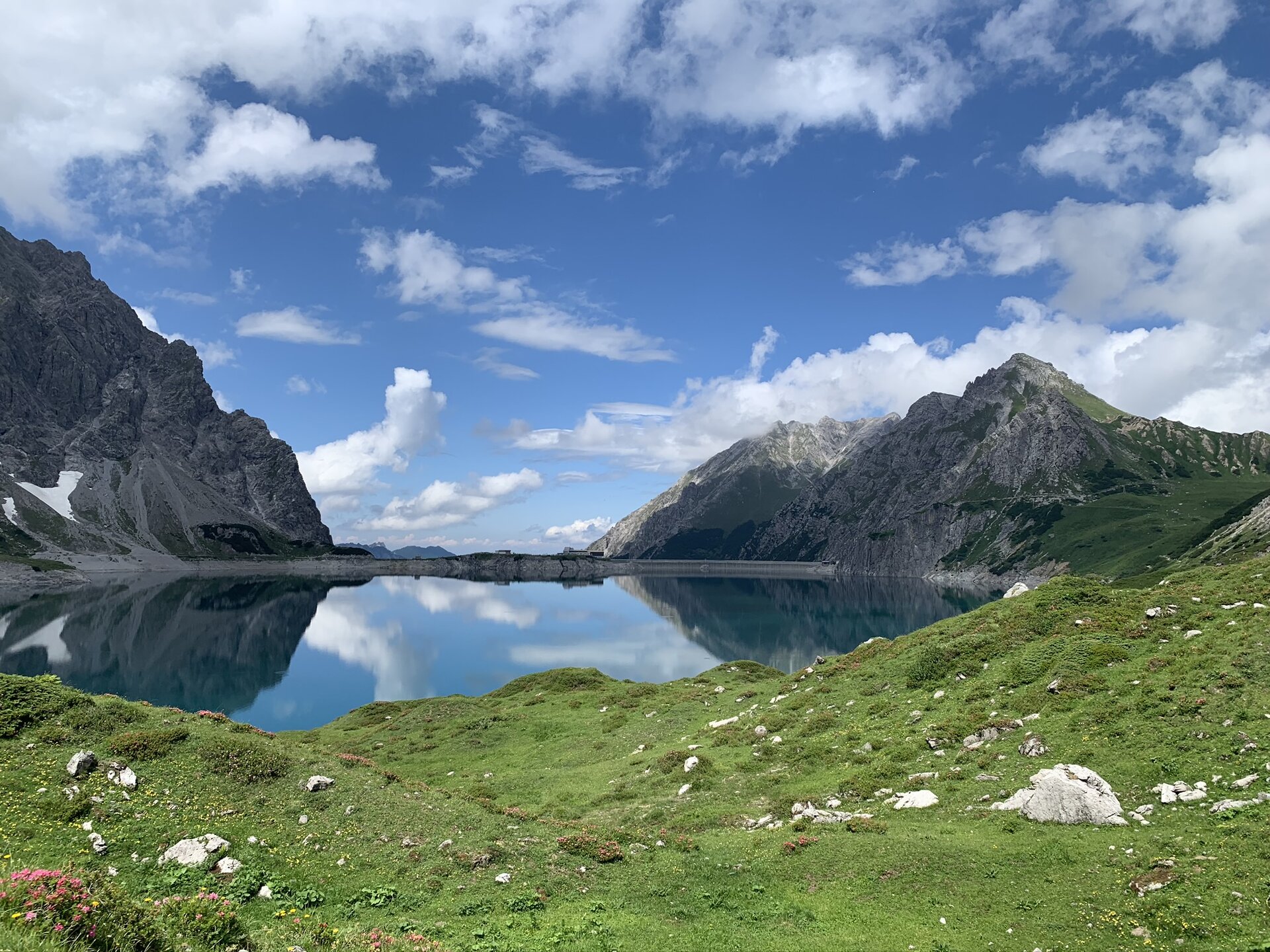
Montafon Rätikon route


Tour description
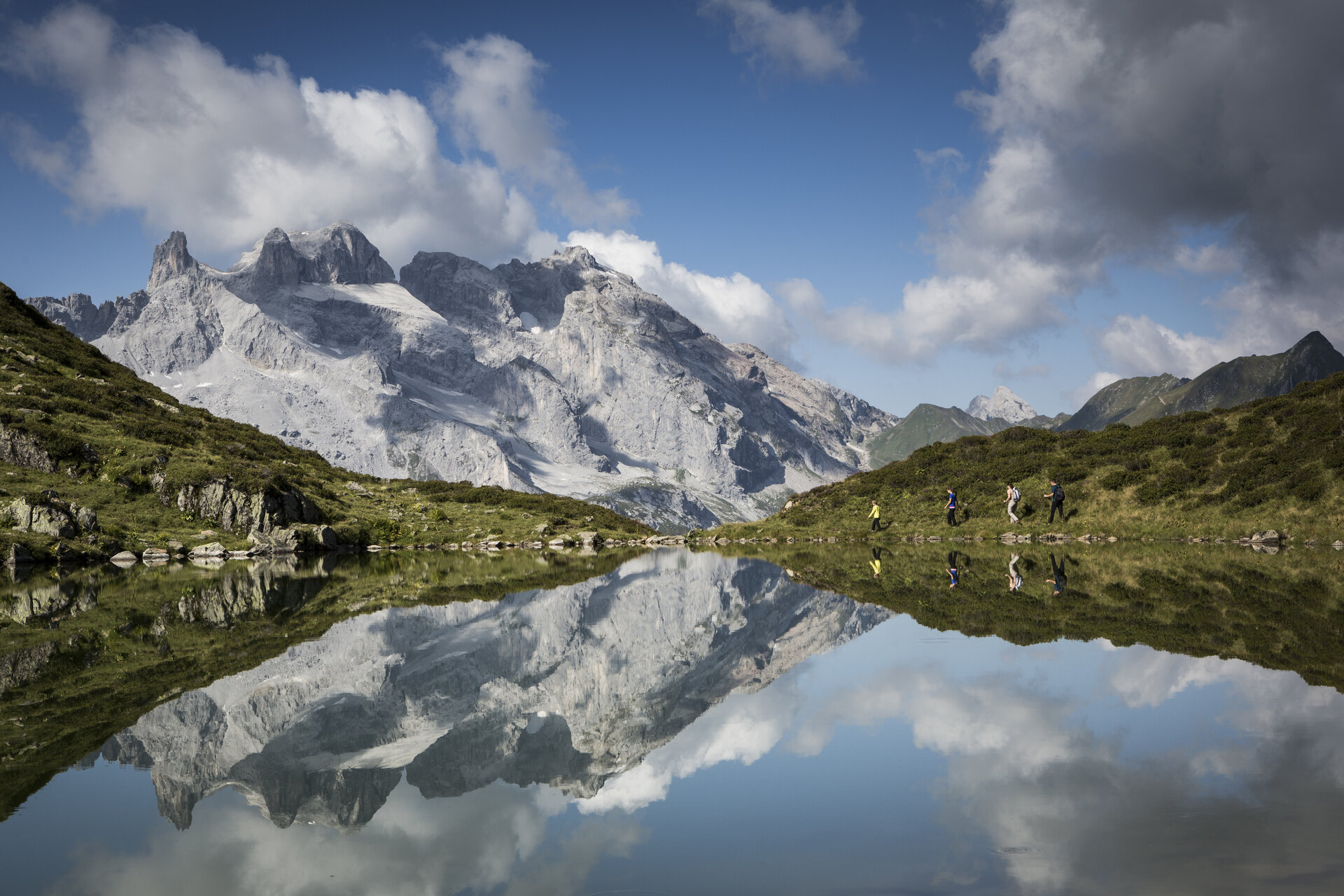
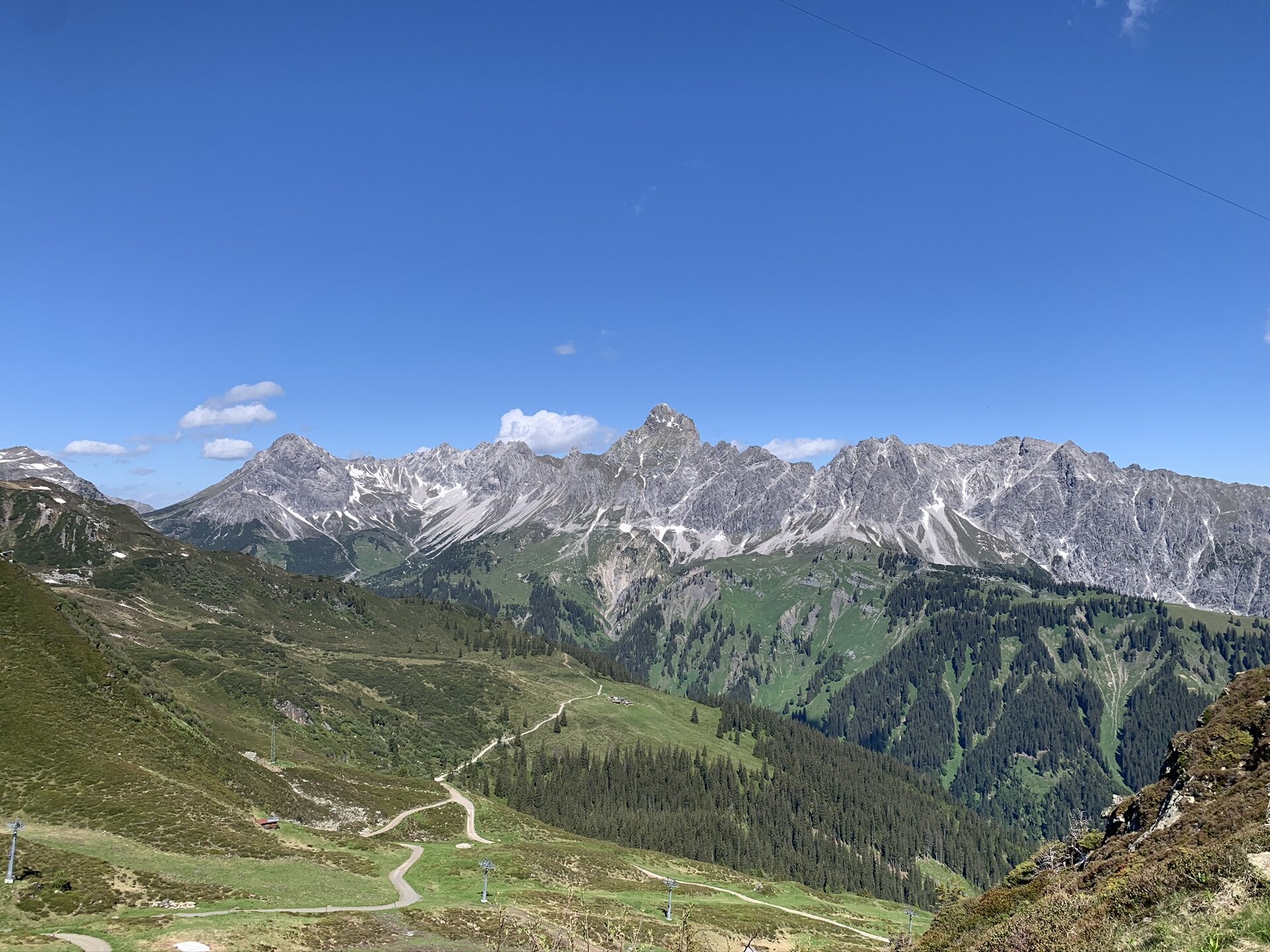
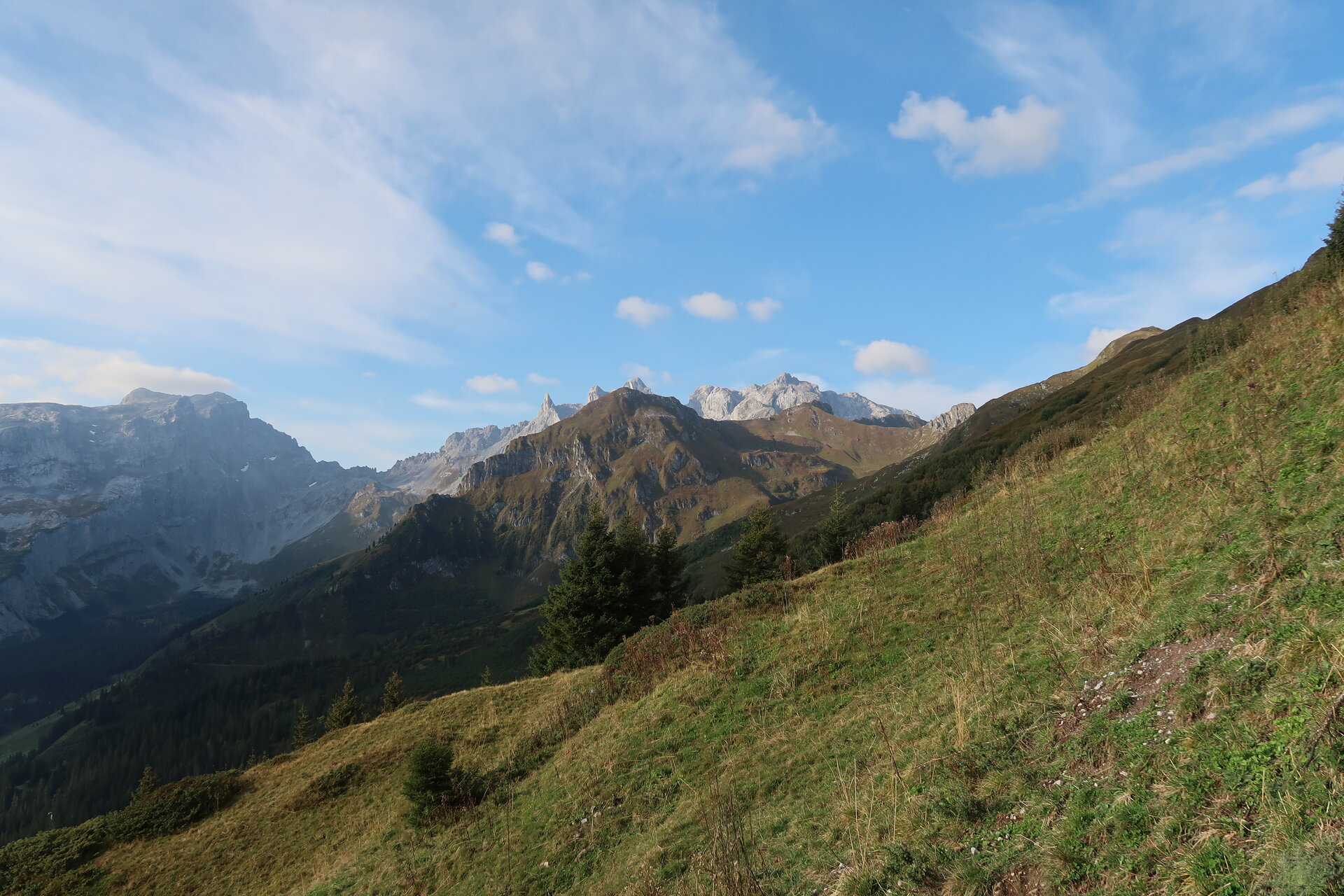
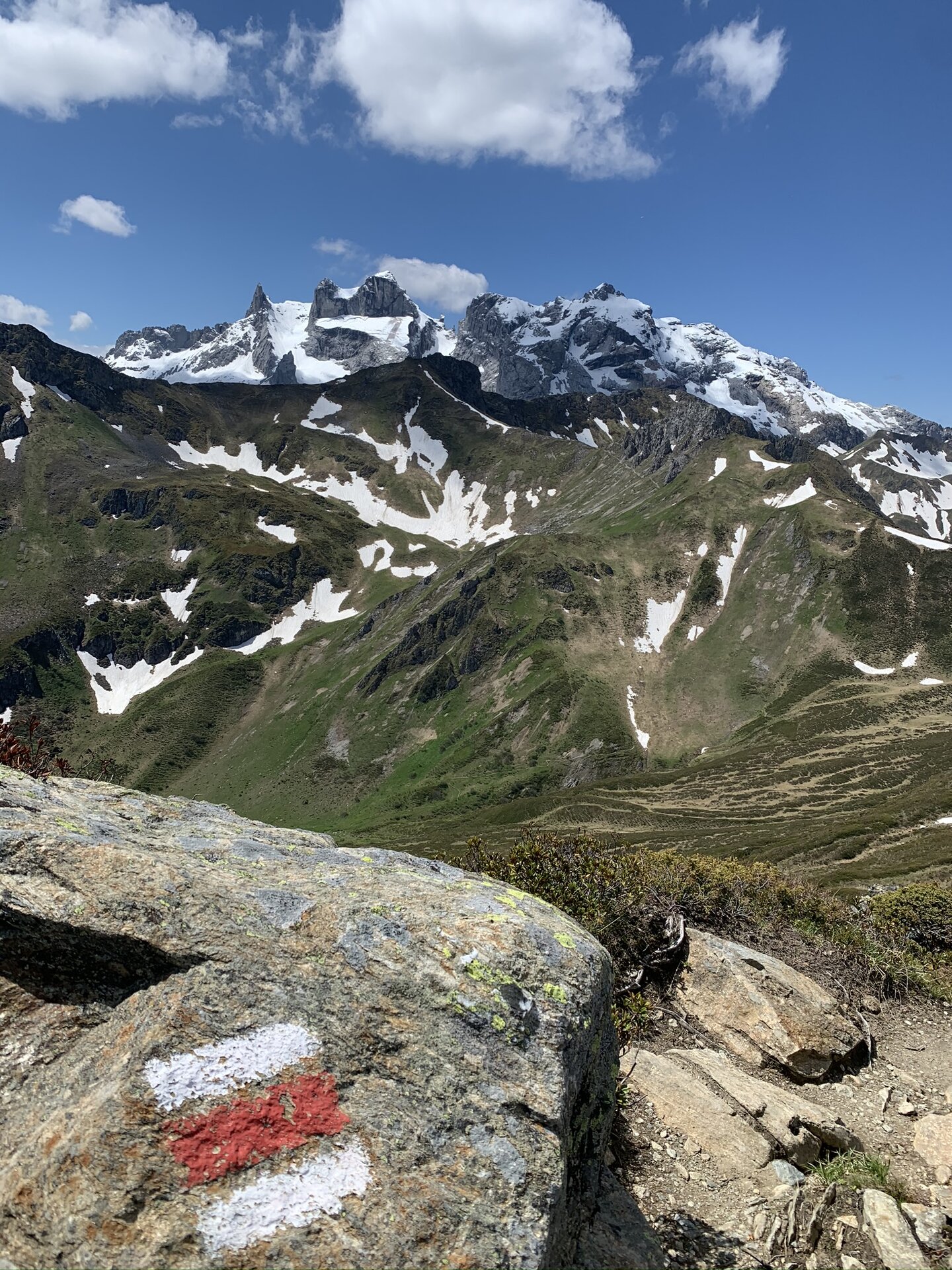
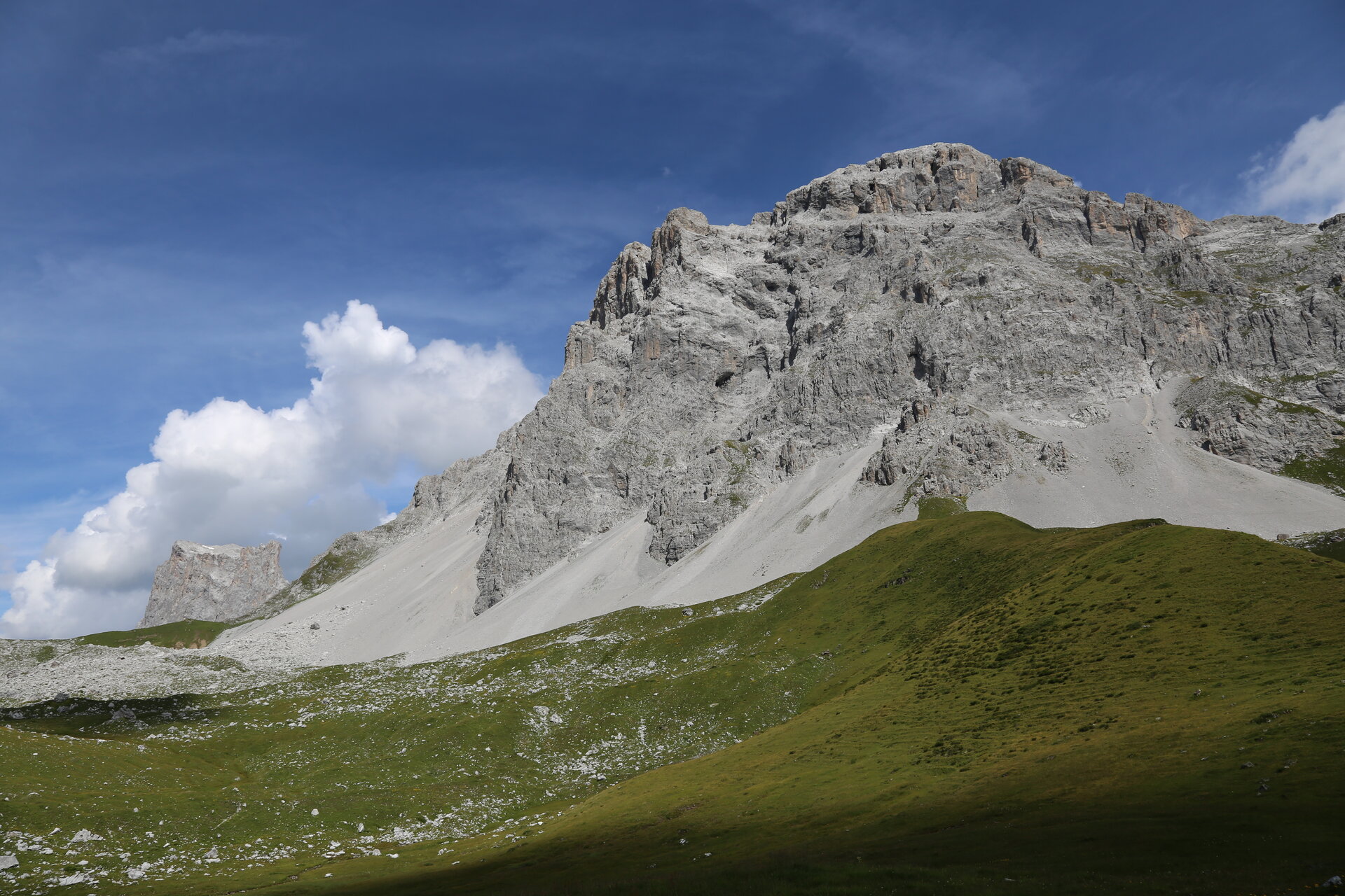
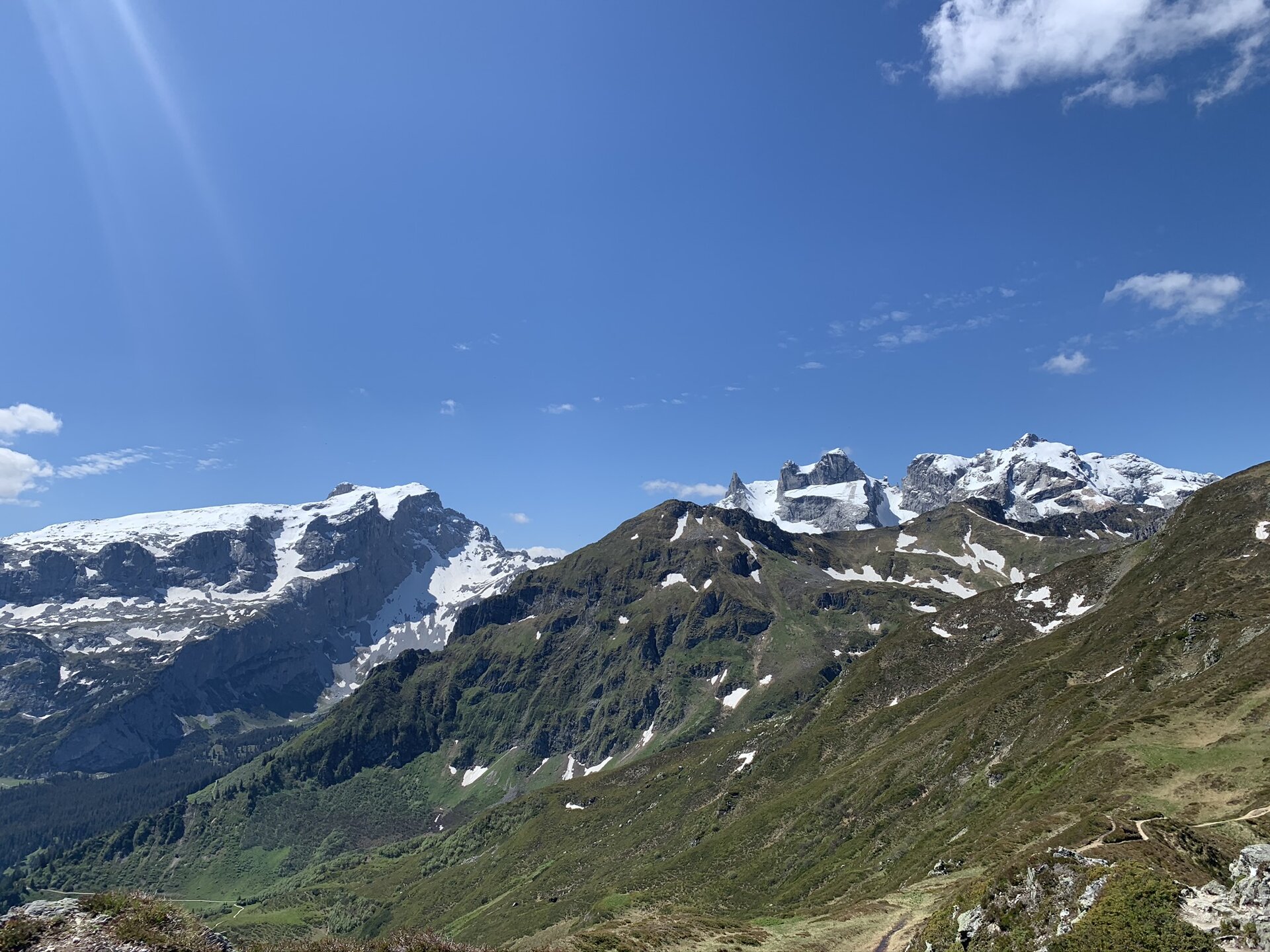
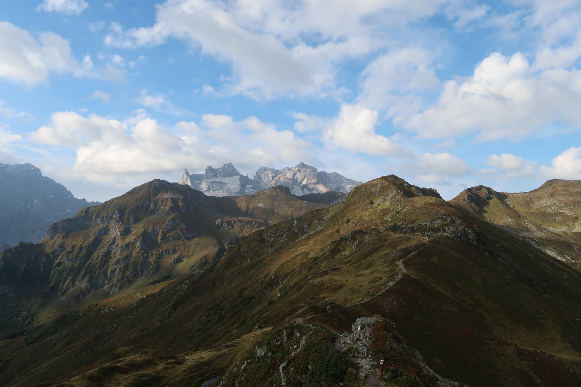
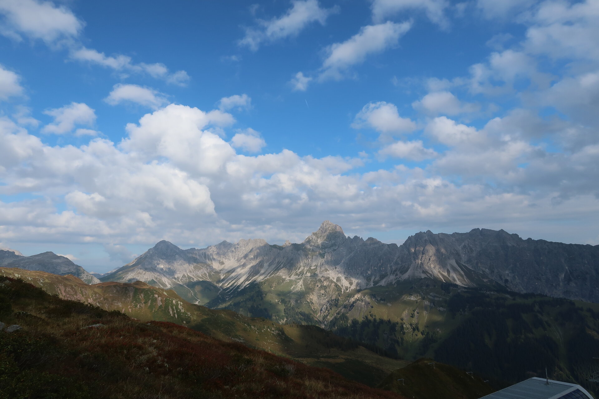
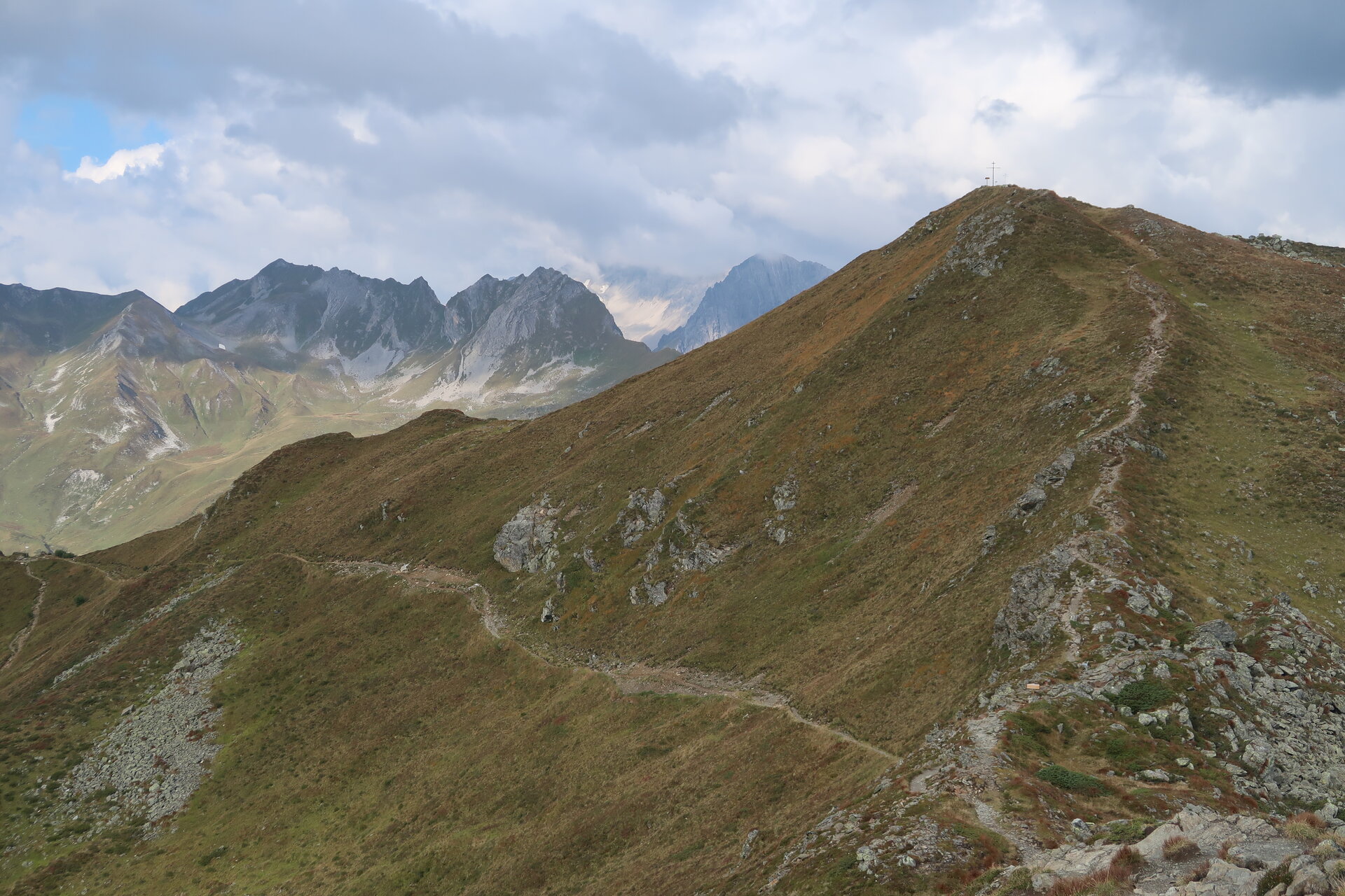
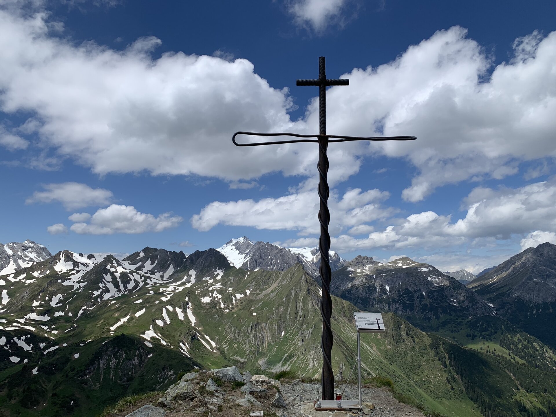
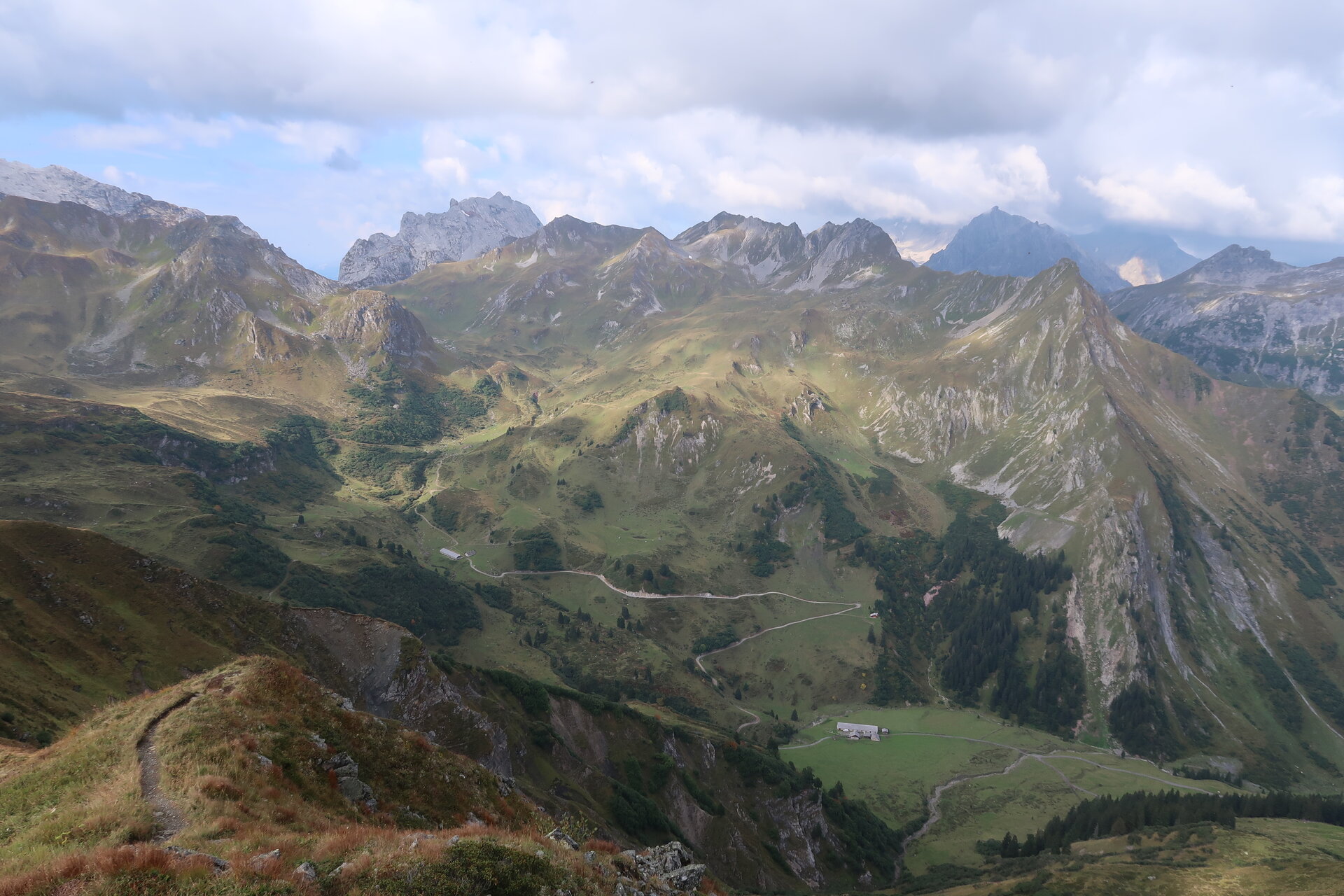
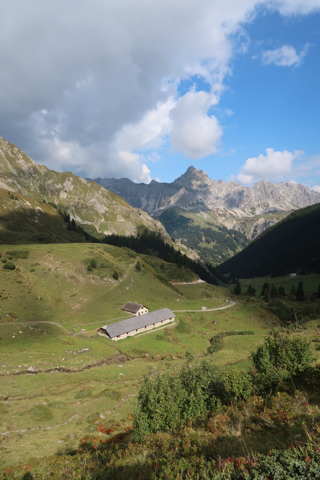
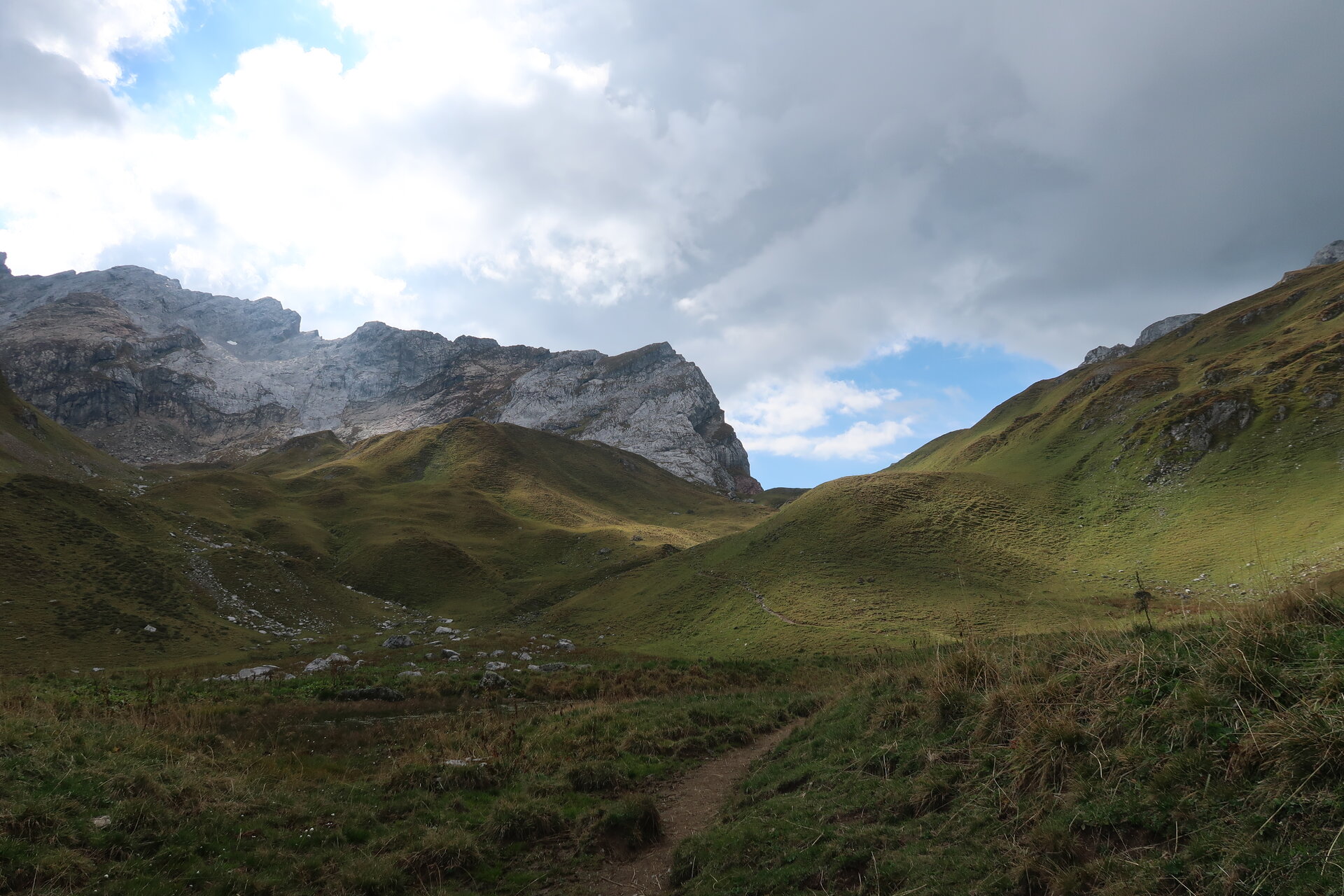
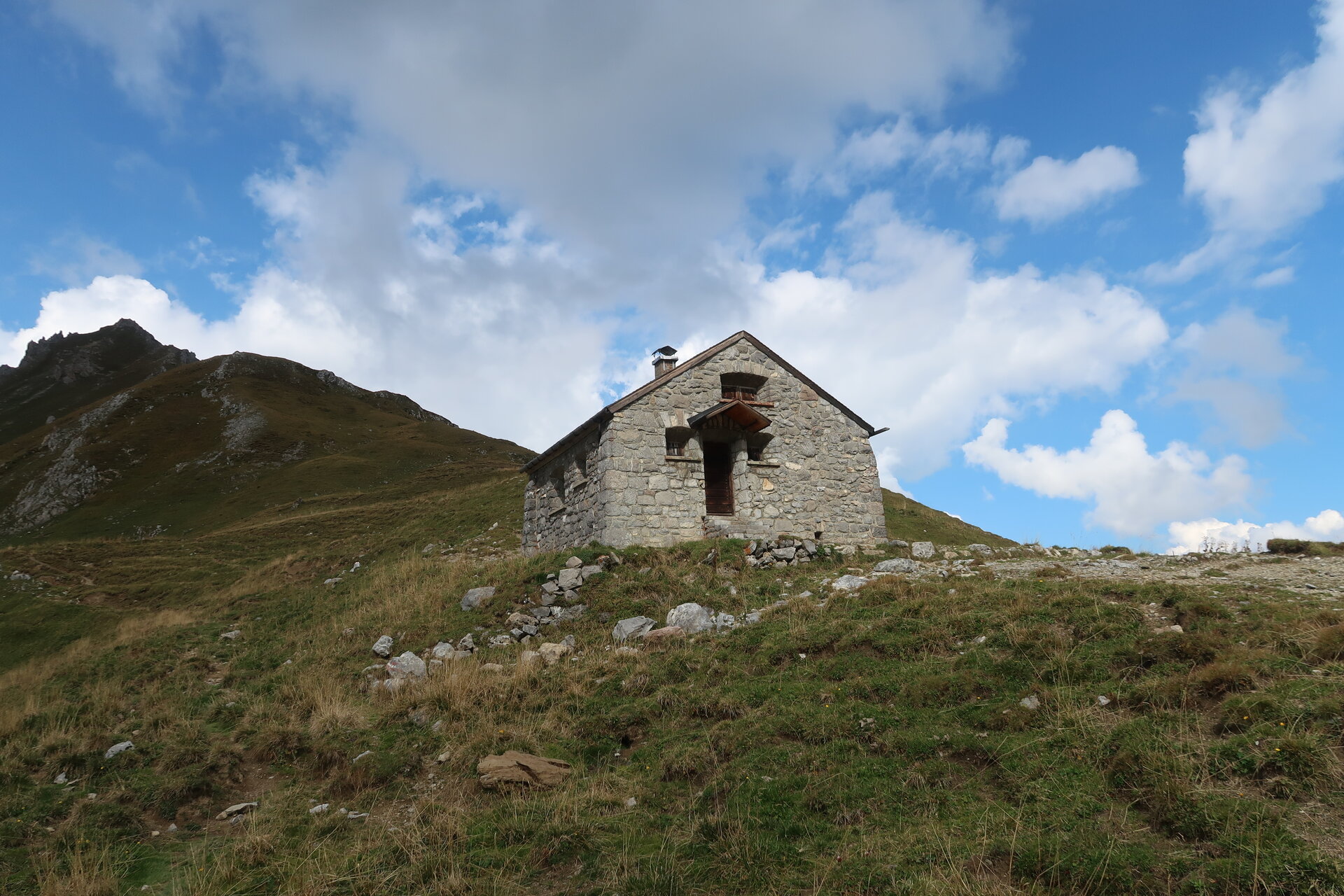
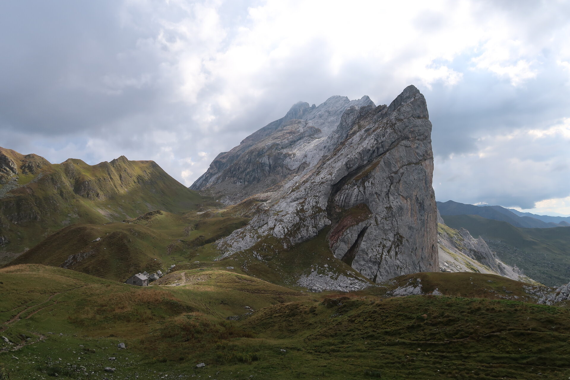
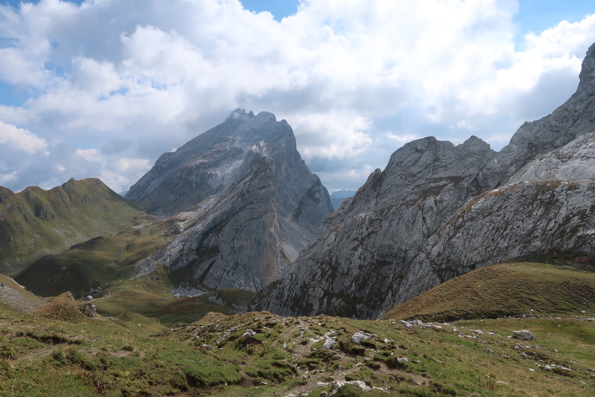
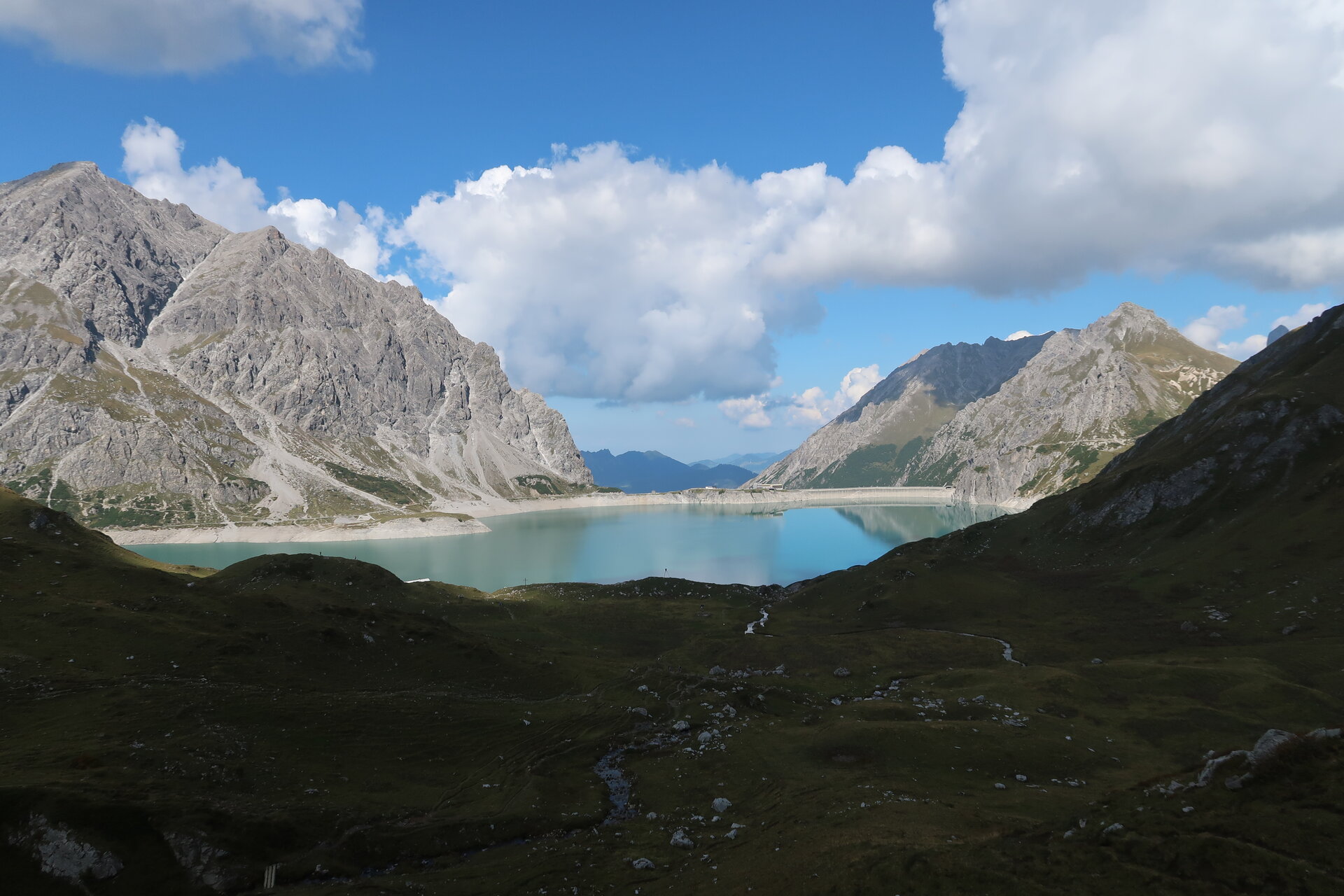
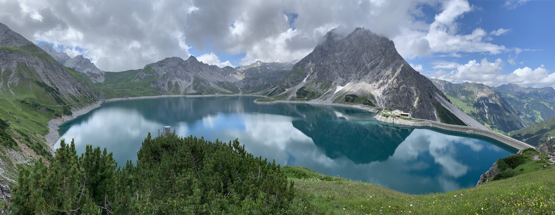
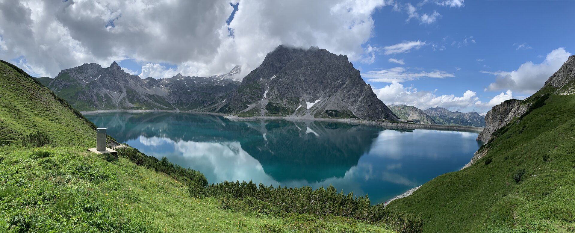
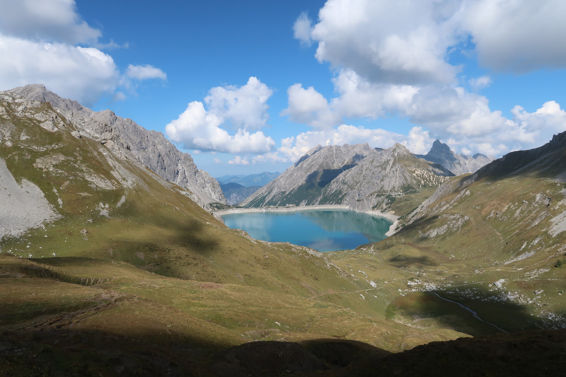
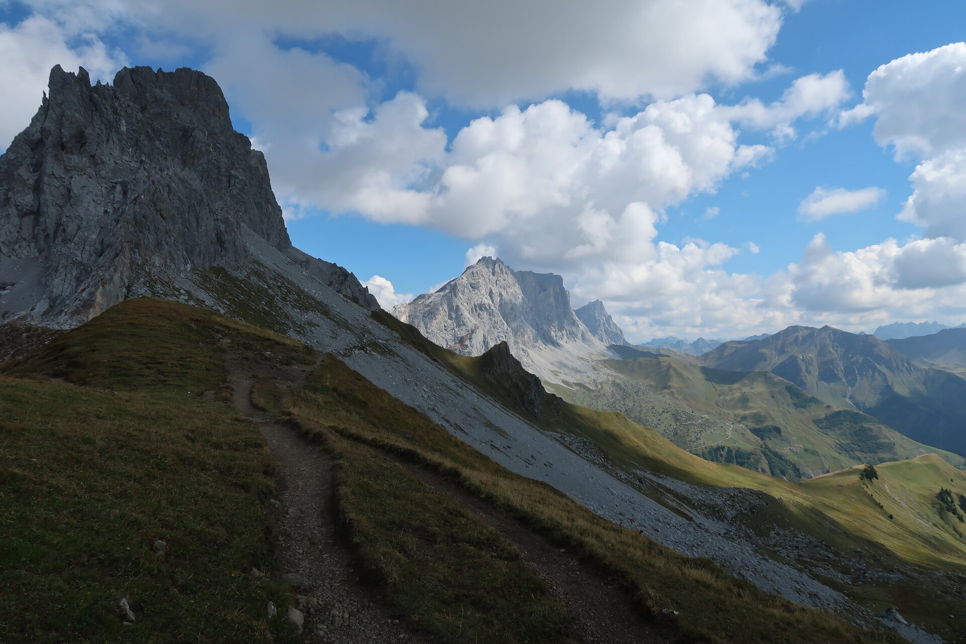
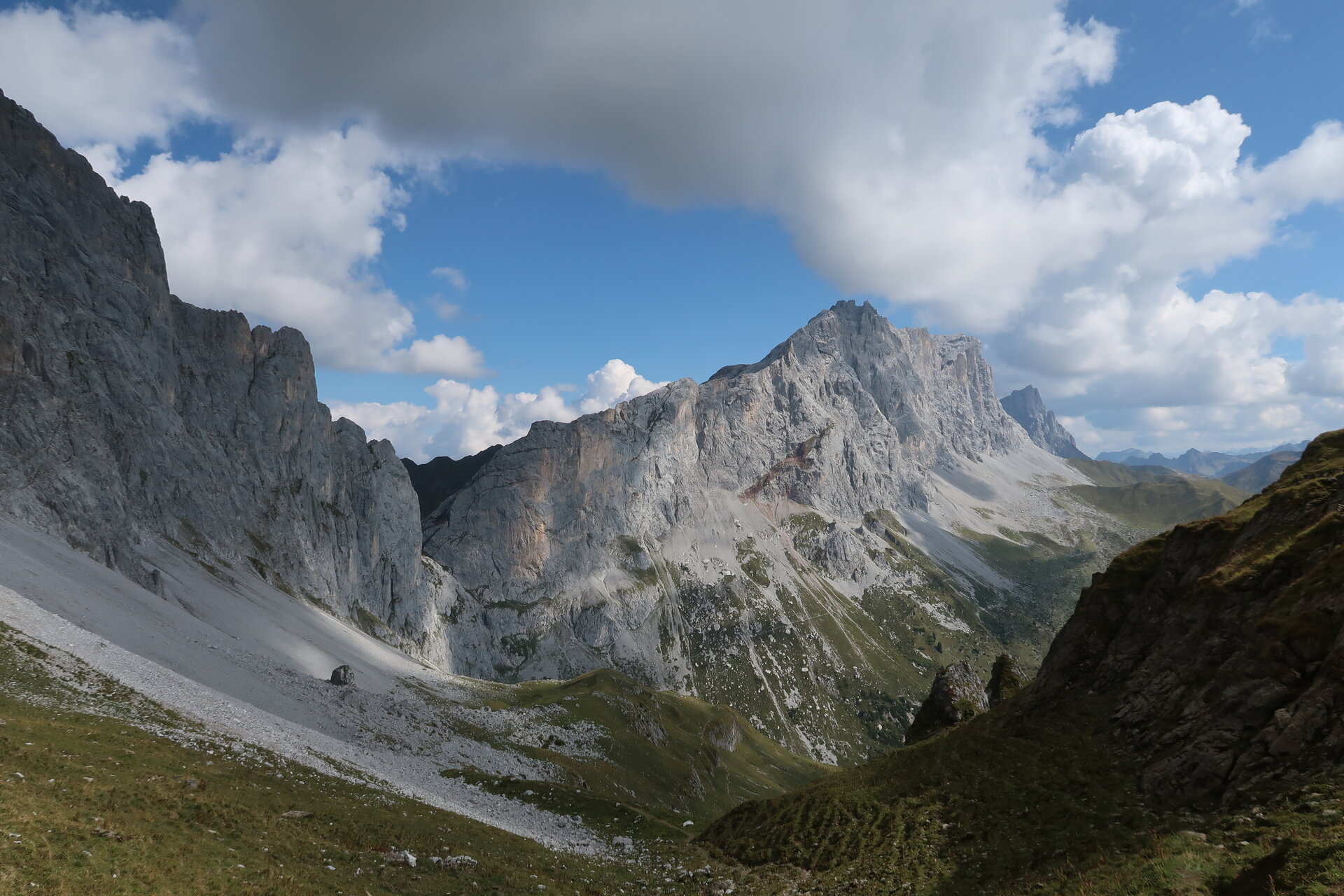
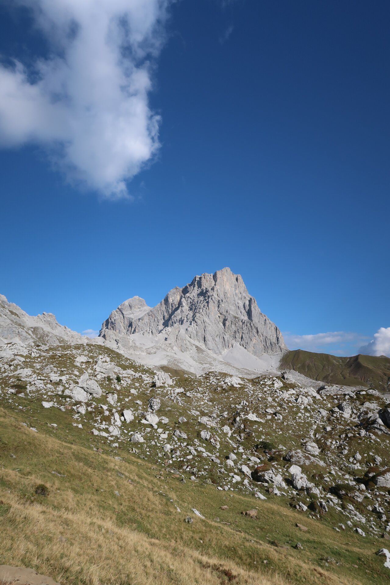
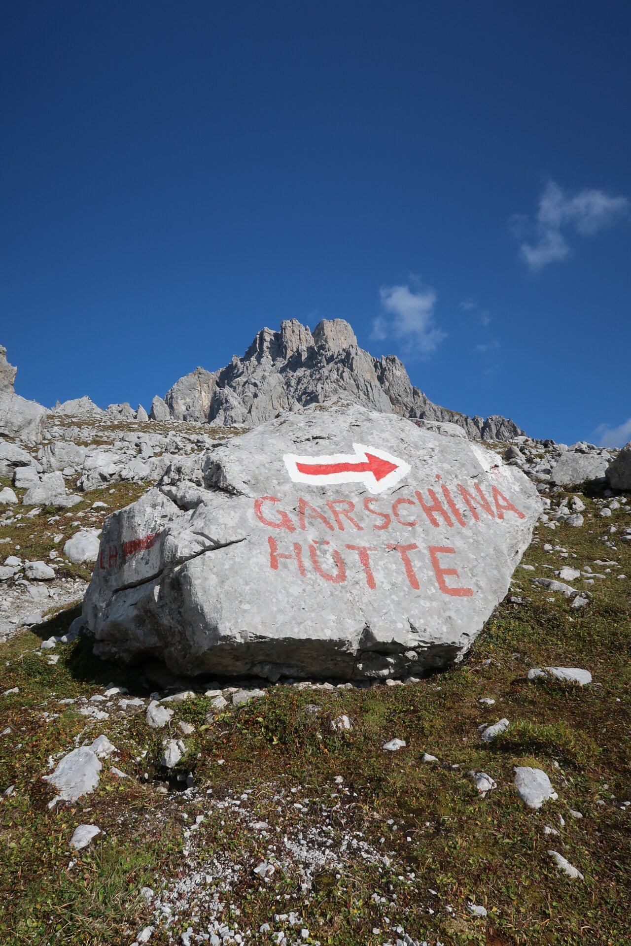
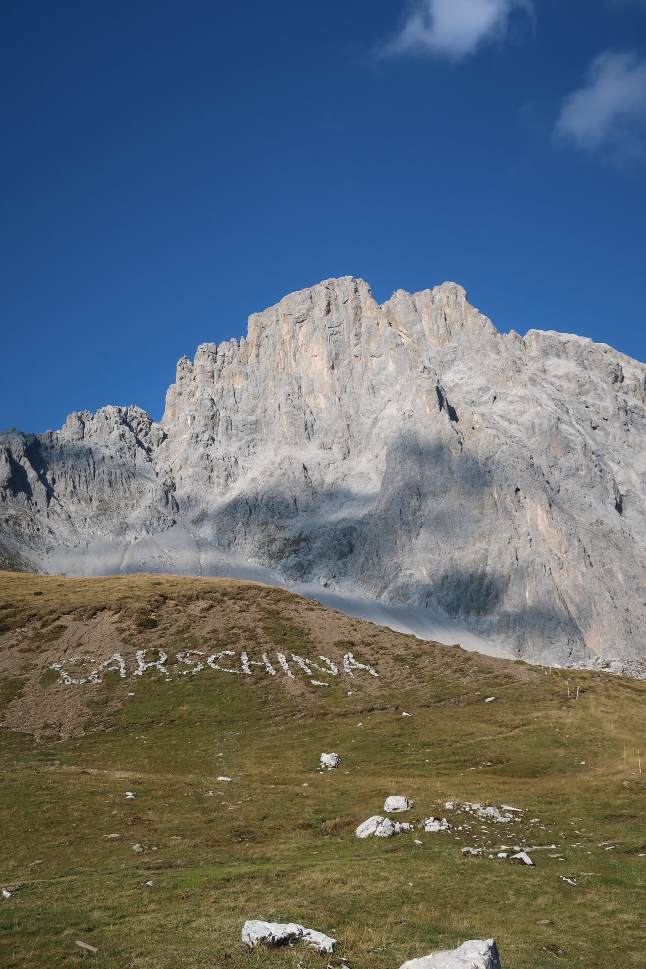
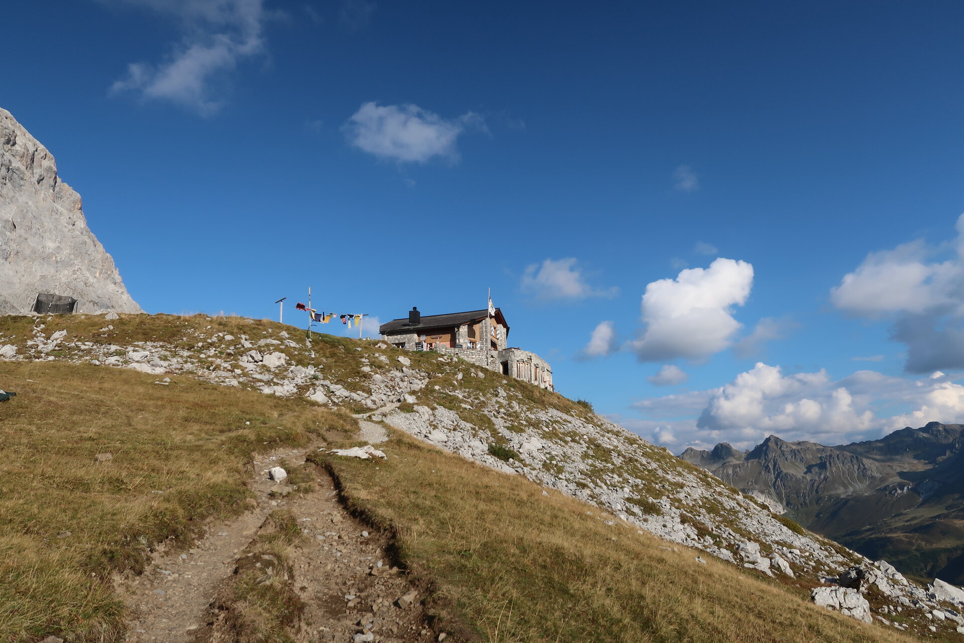
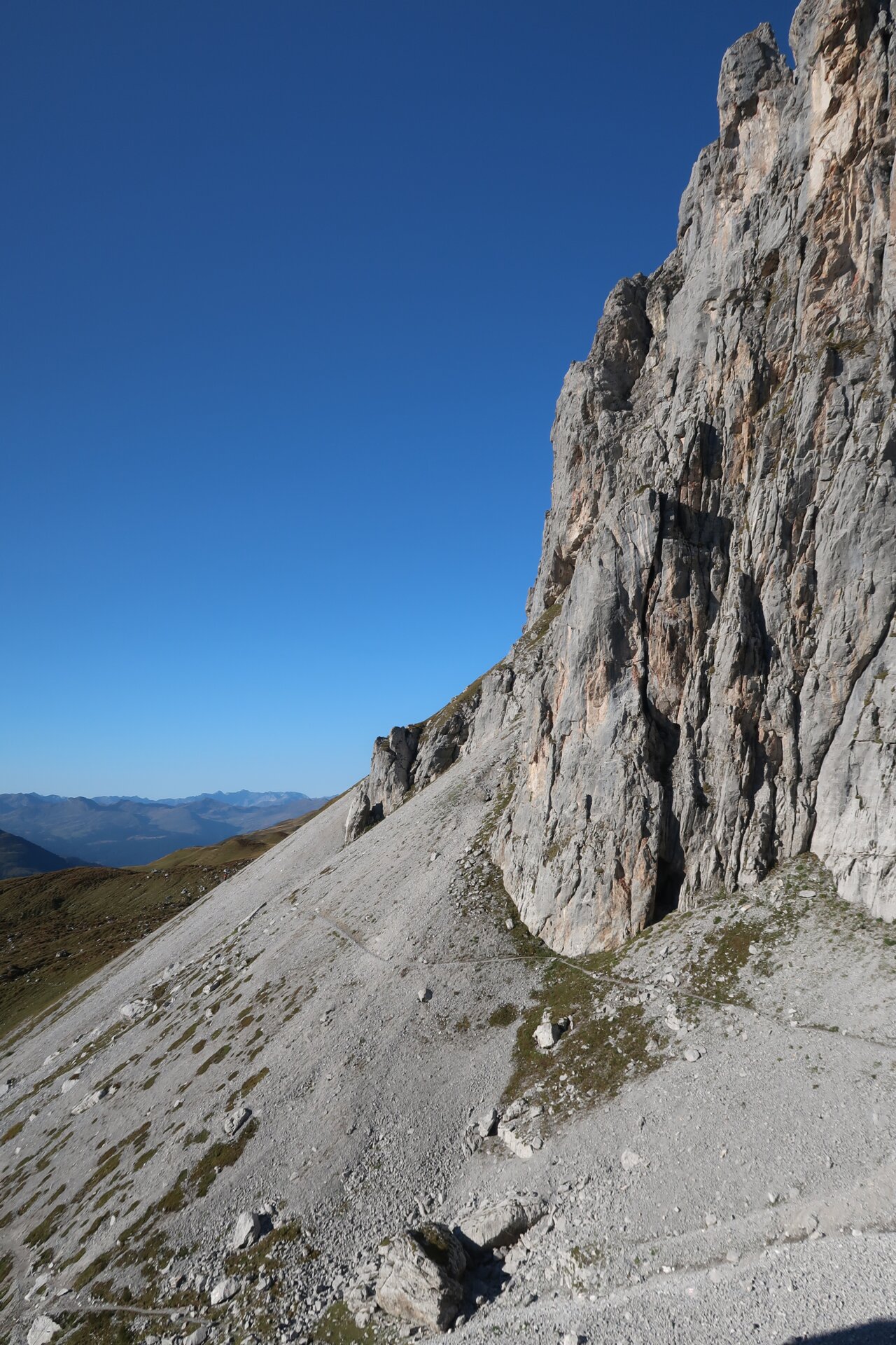
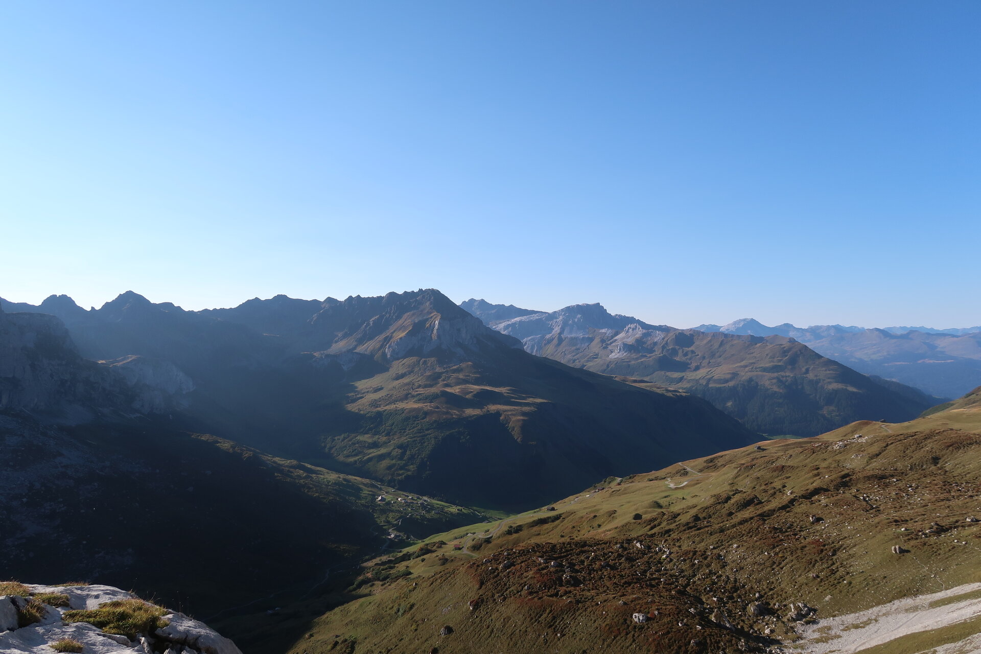
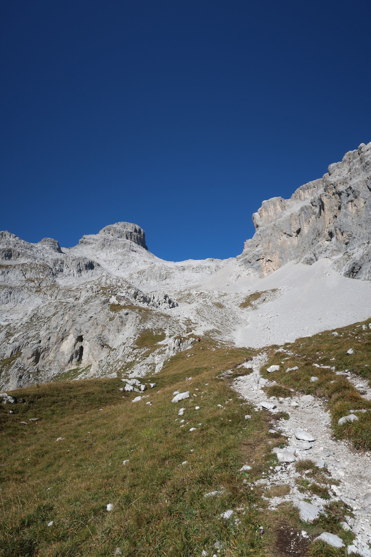
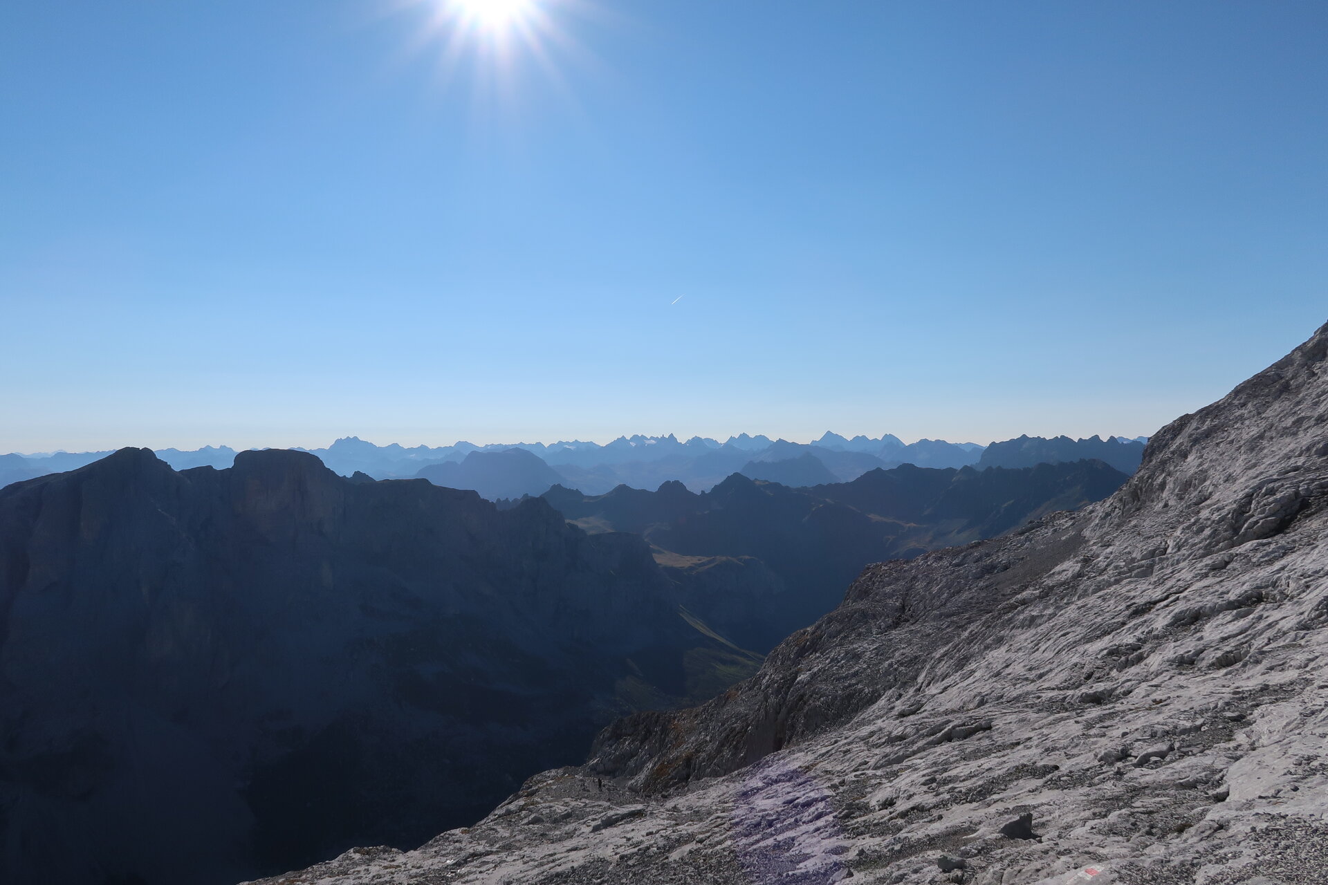
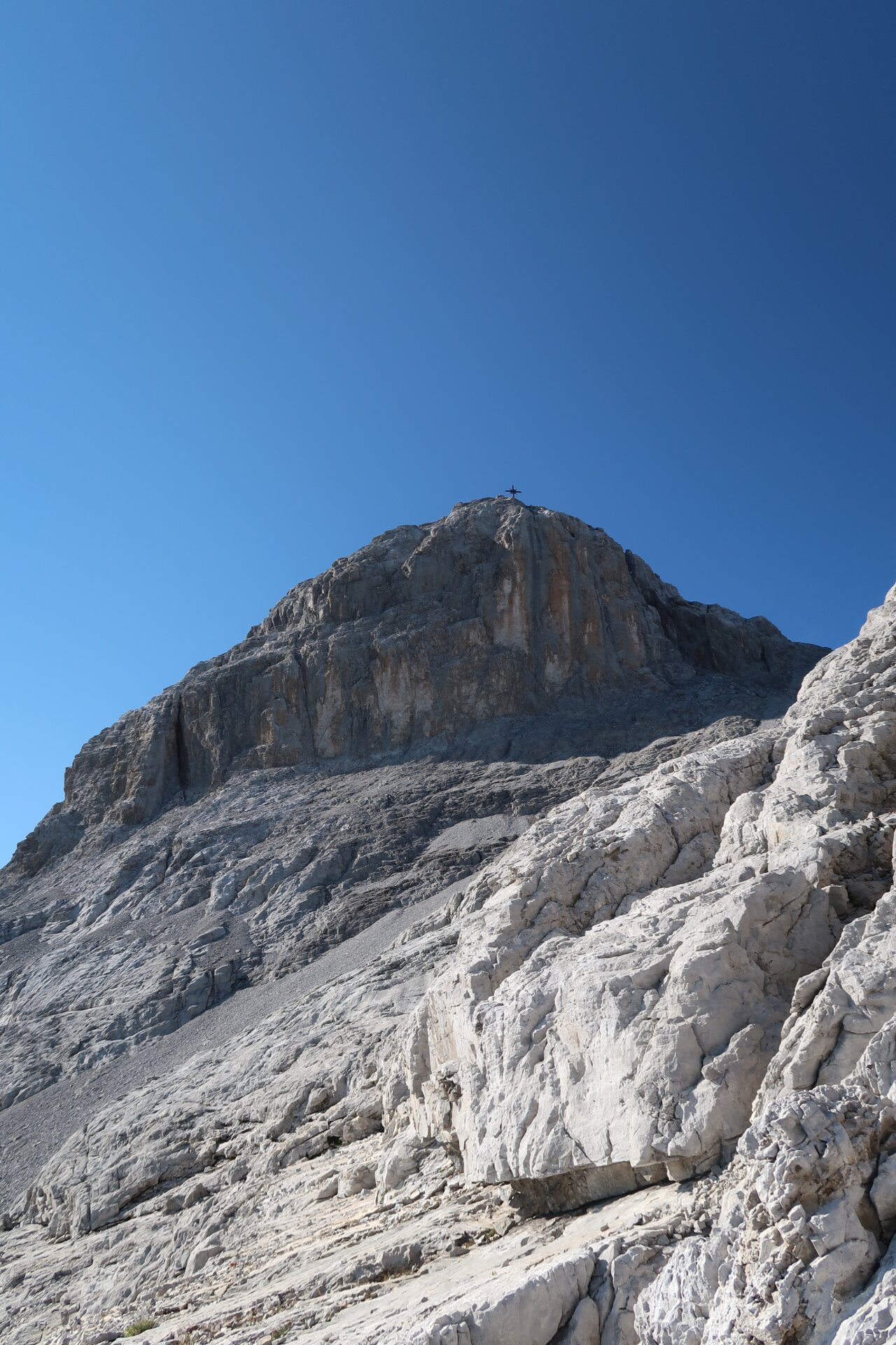
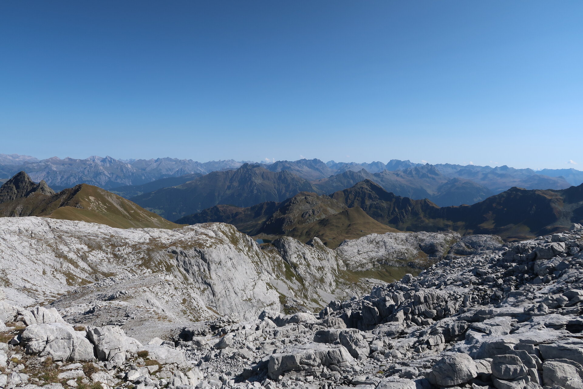
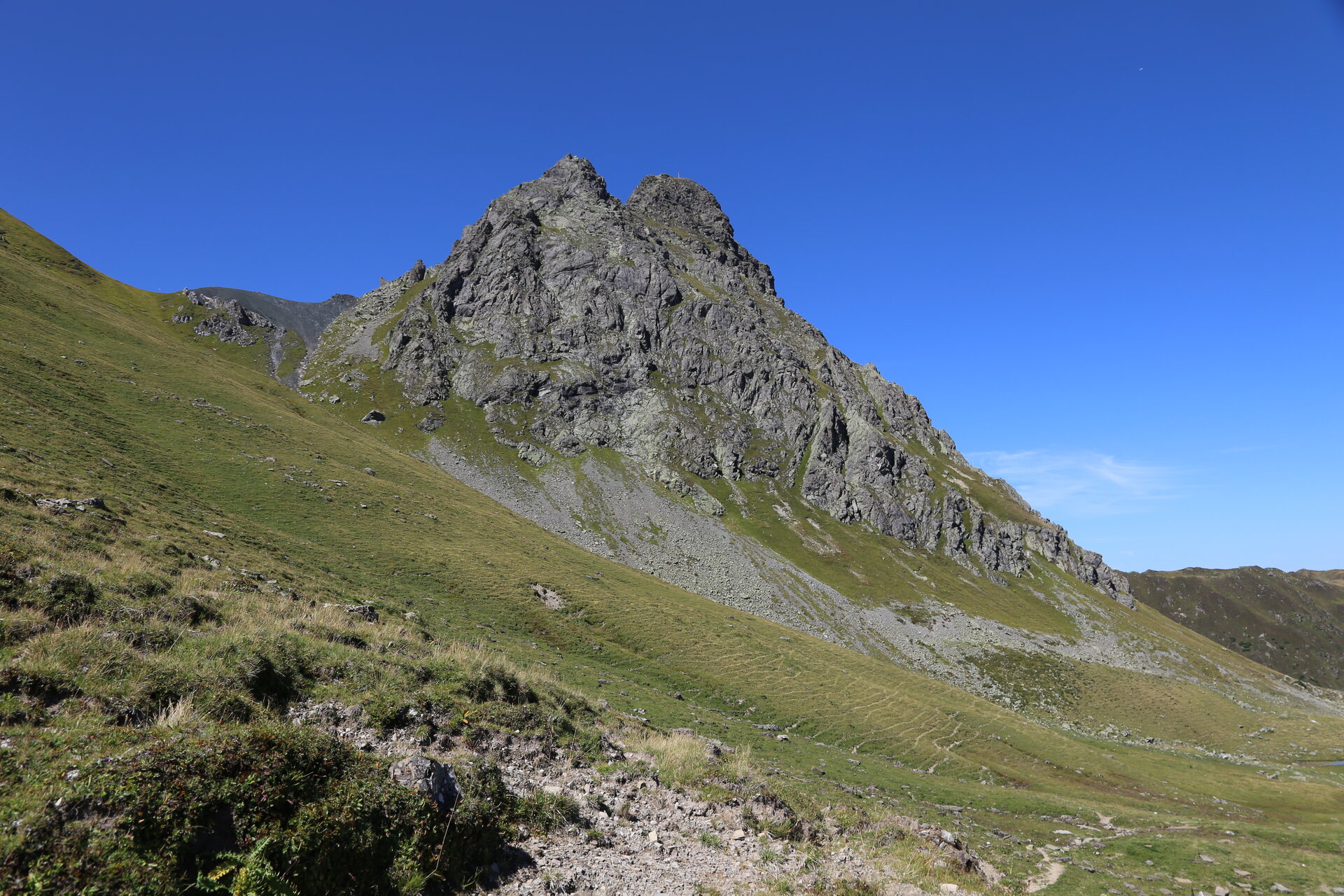
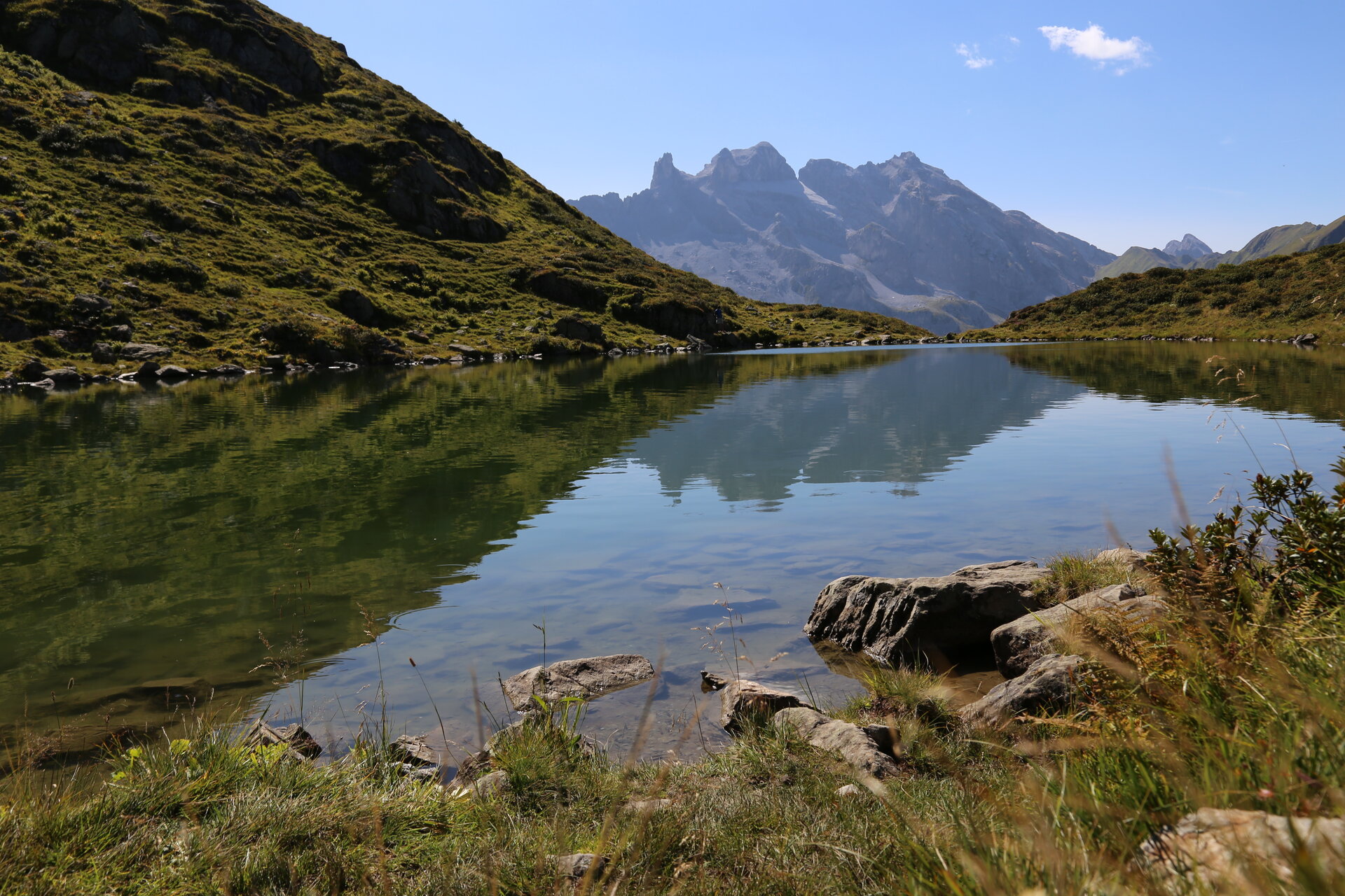
The Montafon Rätikon route is a four-stage high mountain route through the full variety of the Rätikon. From the mountain station of the Golmerbahn you ascend to the Golmerjoch and look at the highlights of the habitat: the Drei Türme and the Zimba. It goes through valleys, over summits and across the Lünersee into Switzerland and along steep limestone walls up to the Sulzfluh, before the route returns to Latschau.
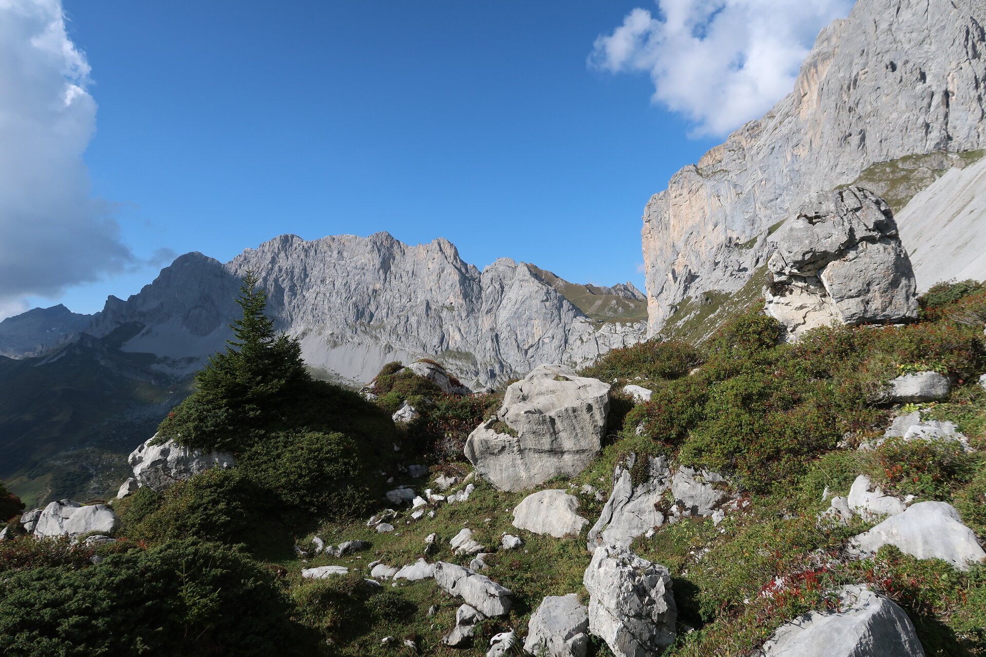
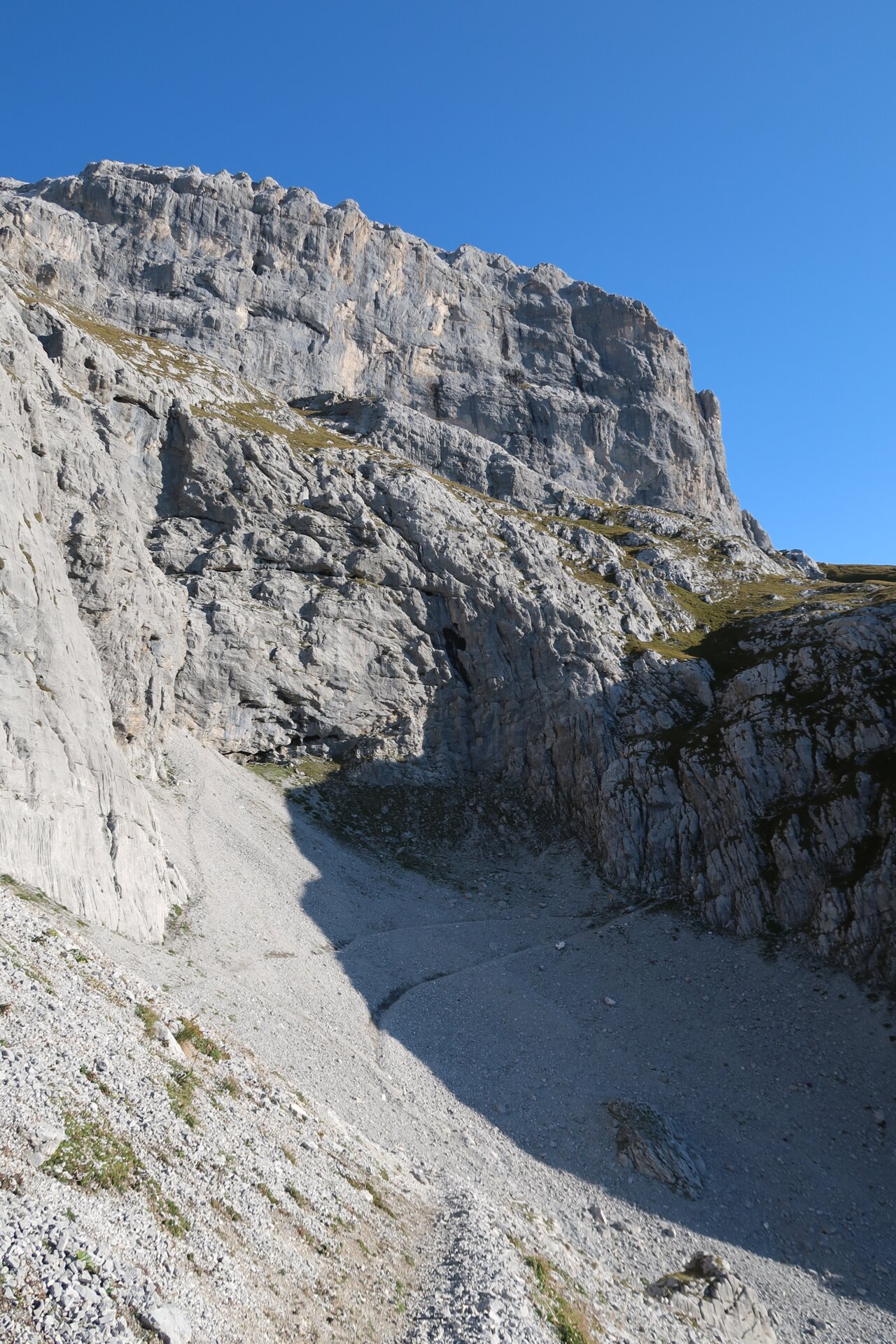
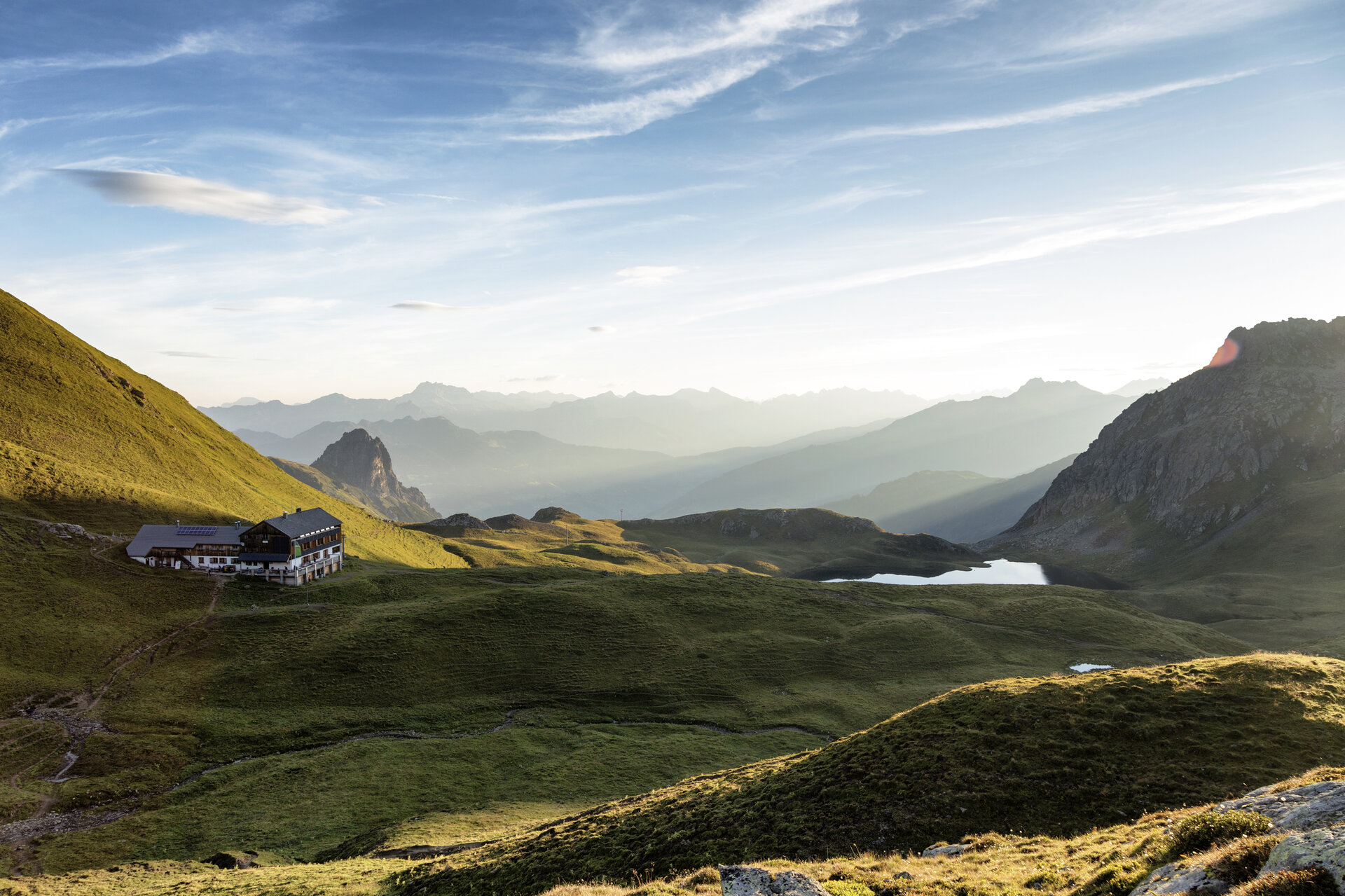
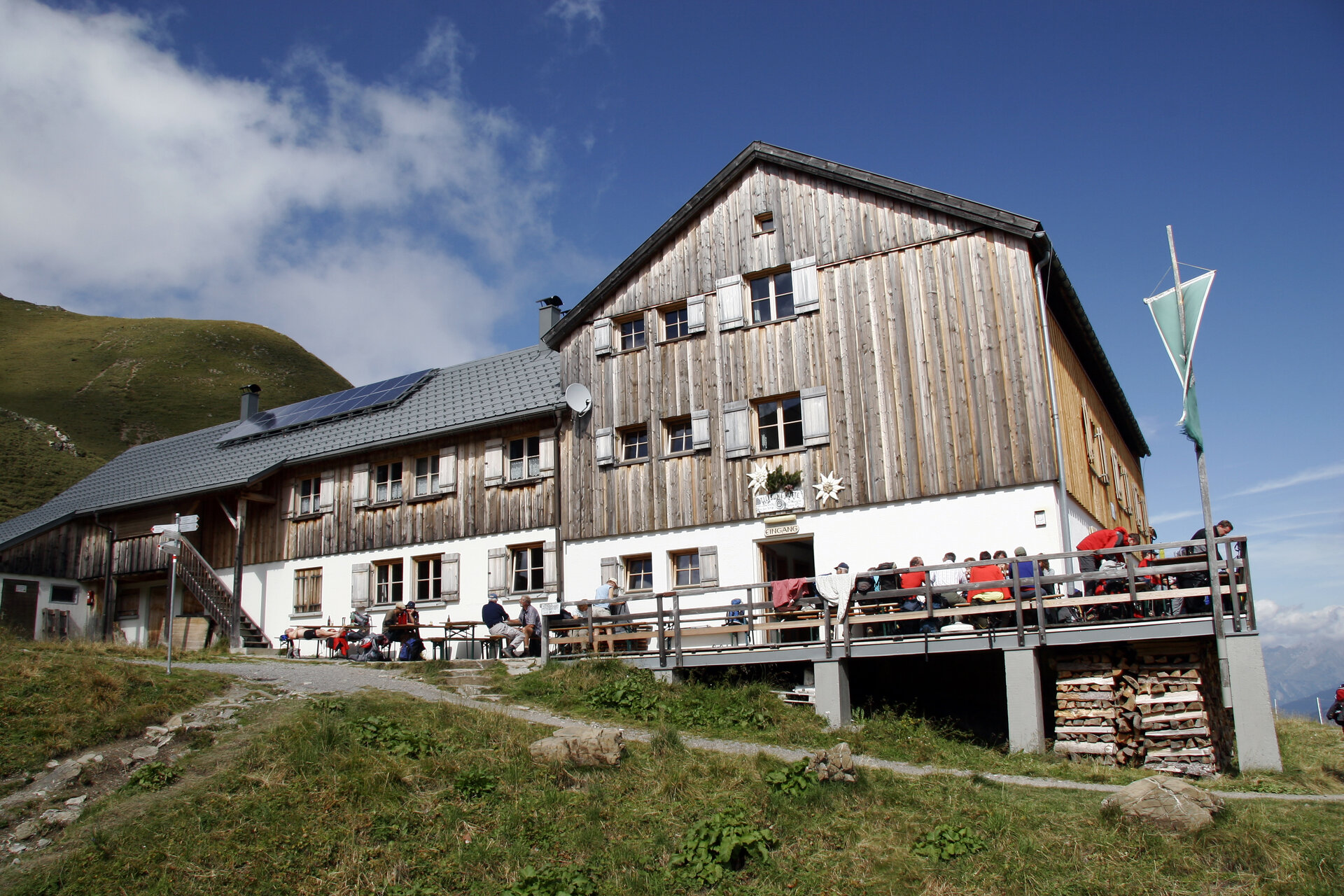
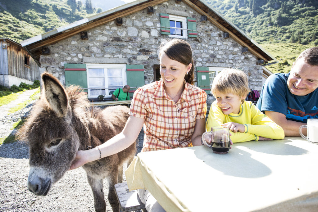
A route for mountain enthusiasts who appreciate the natural beauty of the mountains as much as well-prepared regional cuisine. The hiking trails lead through the varied Rätikon. The limestone rock of the Rätikon in contrast to the blooming alpine meadows on the steep walls of the impressive peaks Sulzfluh, Drei Türme and Drusenfluh characterizes this hut hike. Past the Lünersee you can experience hydropower up close, and with an overnight stay in Switzerland, you get to know the Prättigau.
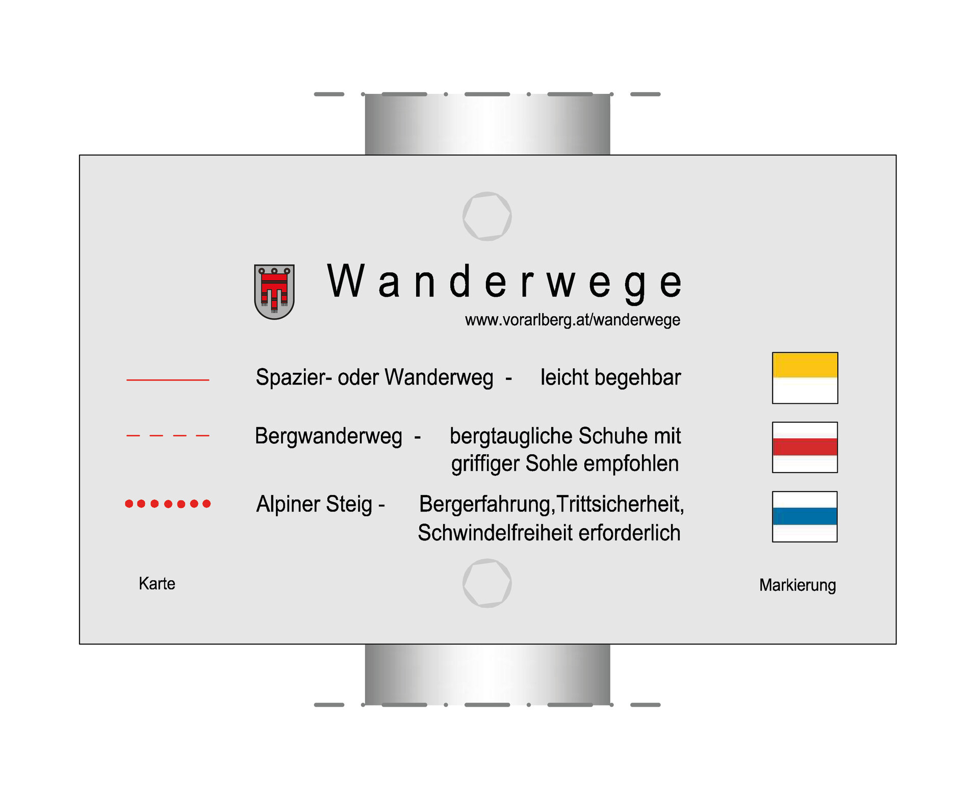
Important: for this demanding route, you should plan your personal daily sections and book the overnight stays in the huts in advance!
Sicherheitstipps für Wandern in Vorarlberg
EN NOTRUF:
EN 140 - Alpine Notfälle österreichweit
EN 144 - Alpine Notfälle Vorarlberg
EN 112 - Euro-Notruf (funktioniert mit jedem Handy/Netz)