Montafon Valley route ​|​ St​.​ Gallenkirch to Partenen

Easy
Alpenmosaik - Tal
Einkehrmöglichkeit
Kinderwagentauglich
Hiking · Alpine mosaic – valley · Alpine mosaic · Refreshment stops · Suitable for prams · Sankt Gallenkirch
03:20 h duration
11,2 km Length
1056 m Highest point
836 m Lowest point
258 m Ascent
79 m Descent
Condition
Technique
Difficulty
Result
Landscape

Tour description

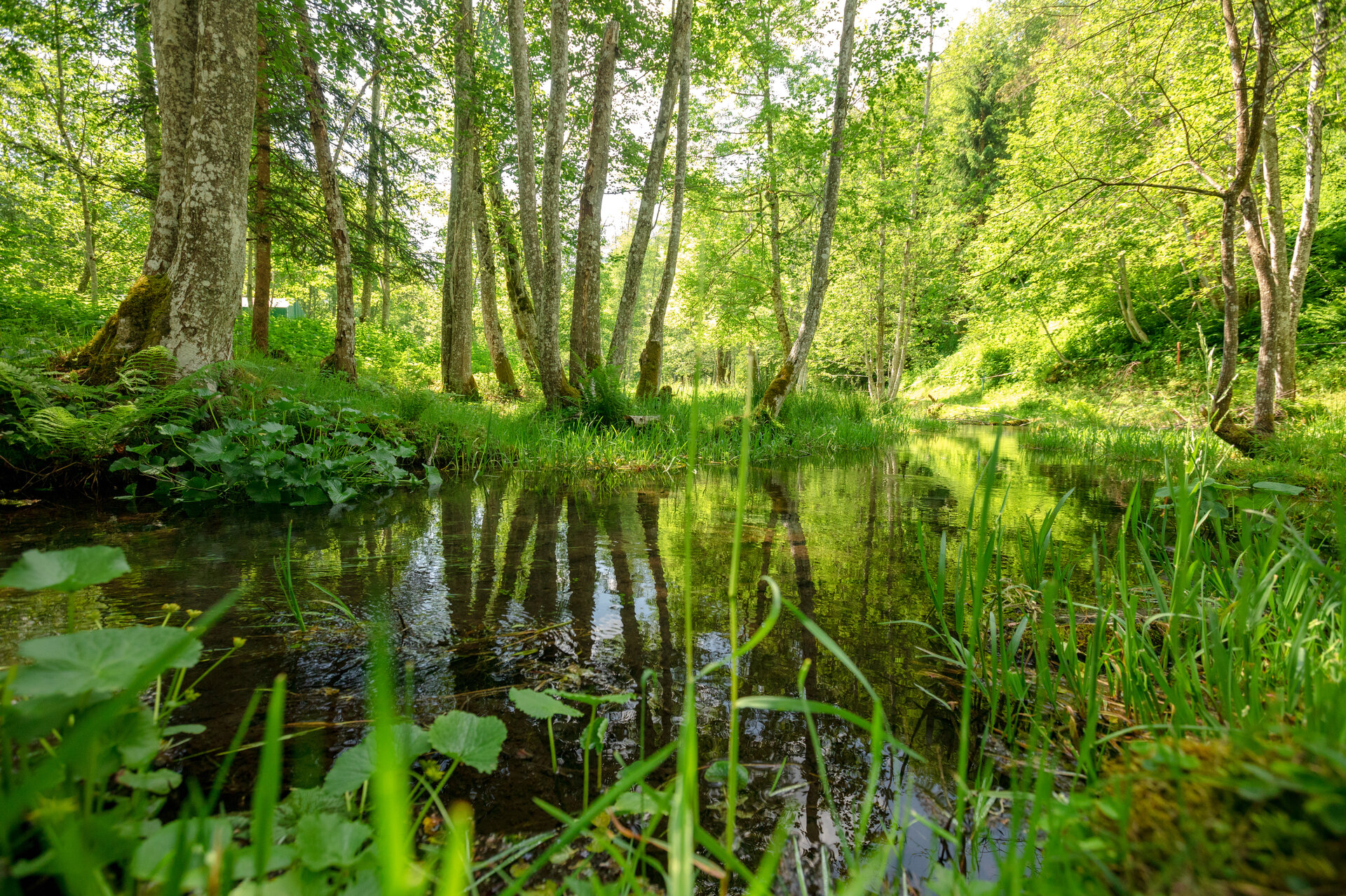
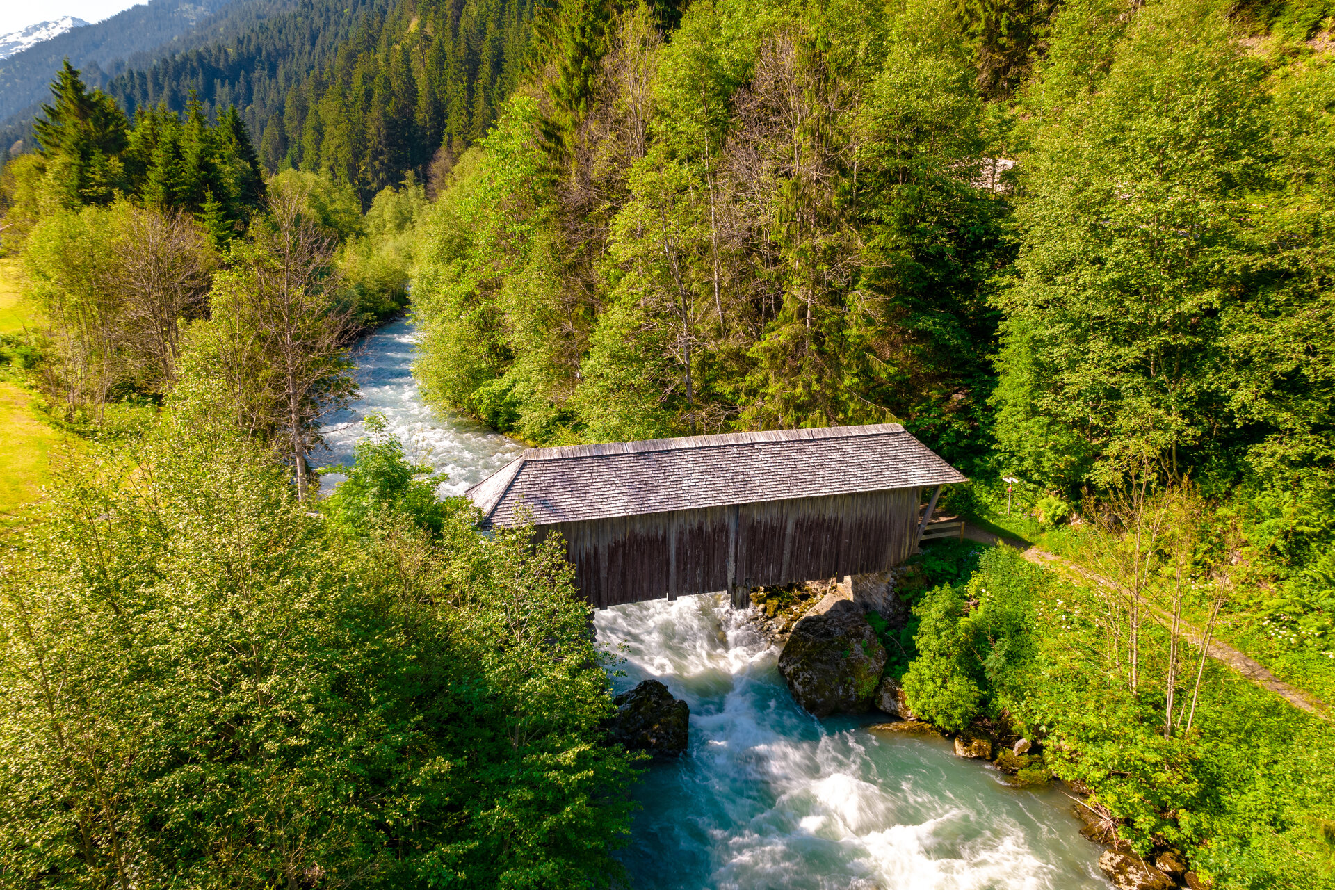
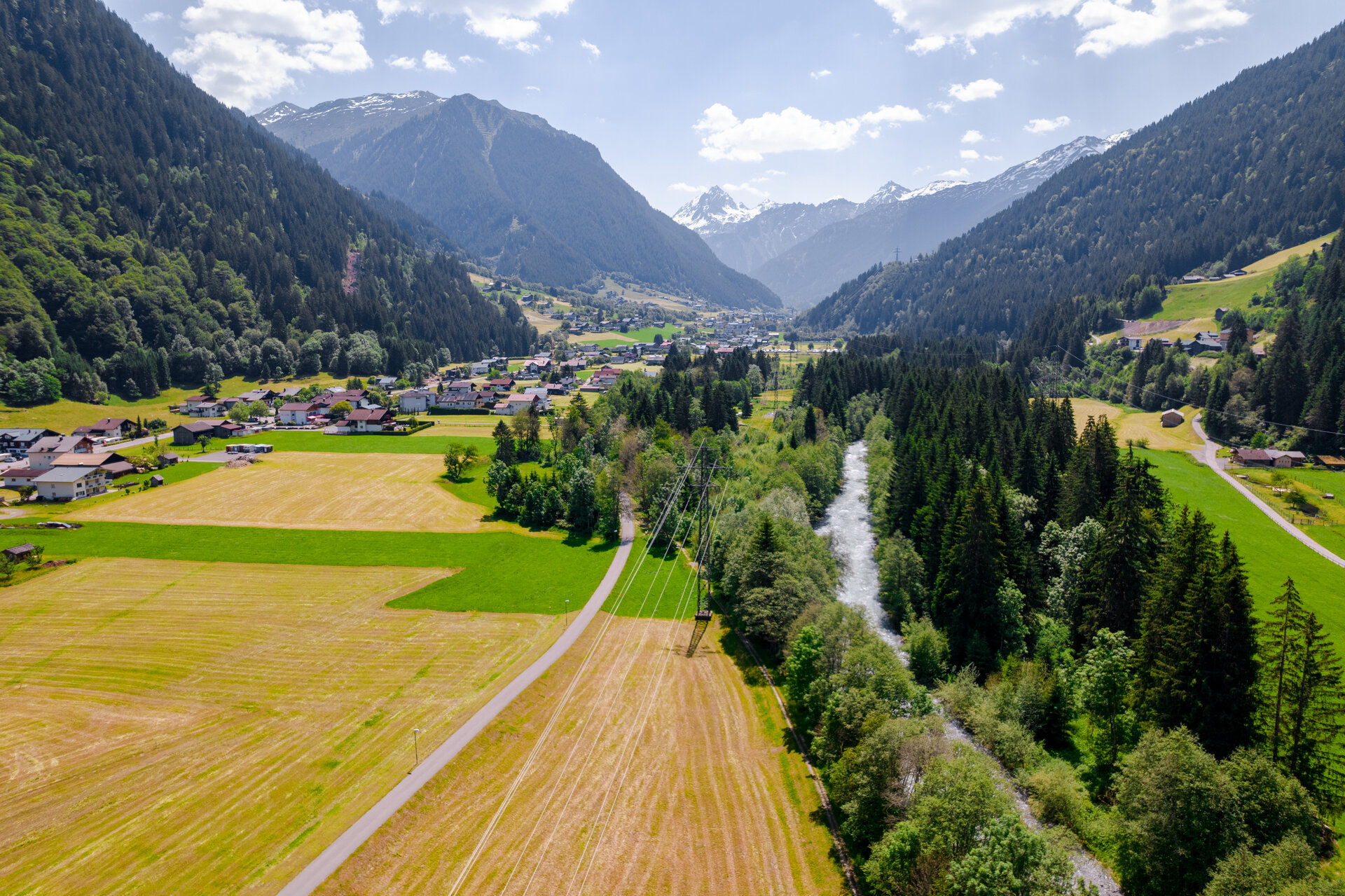
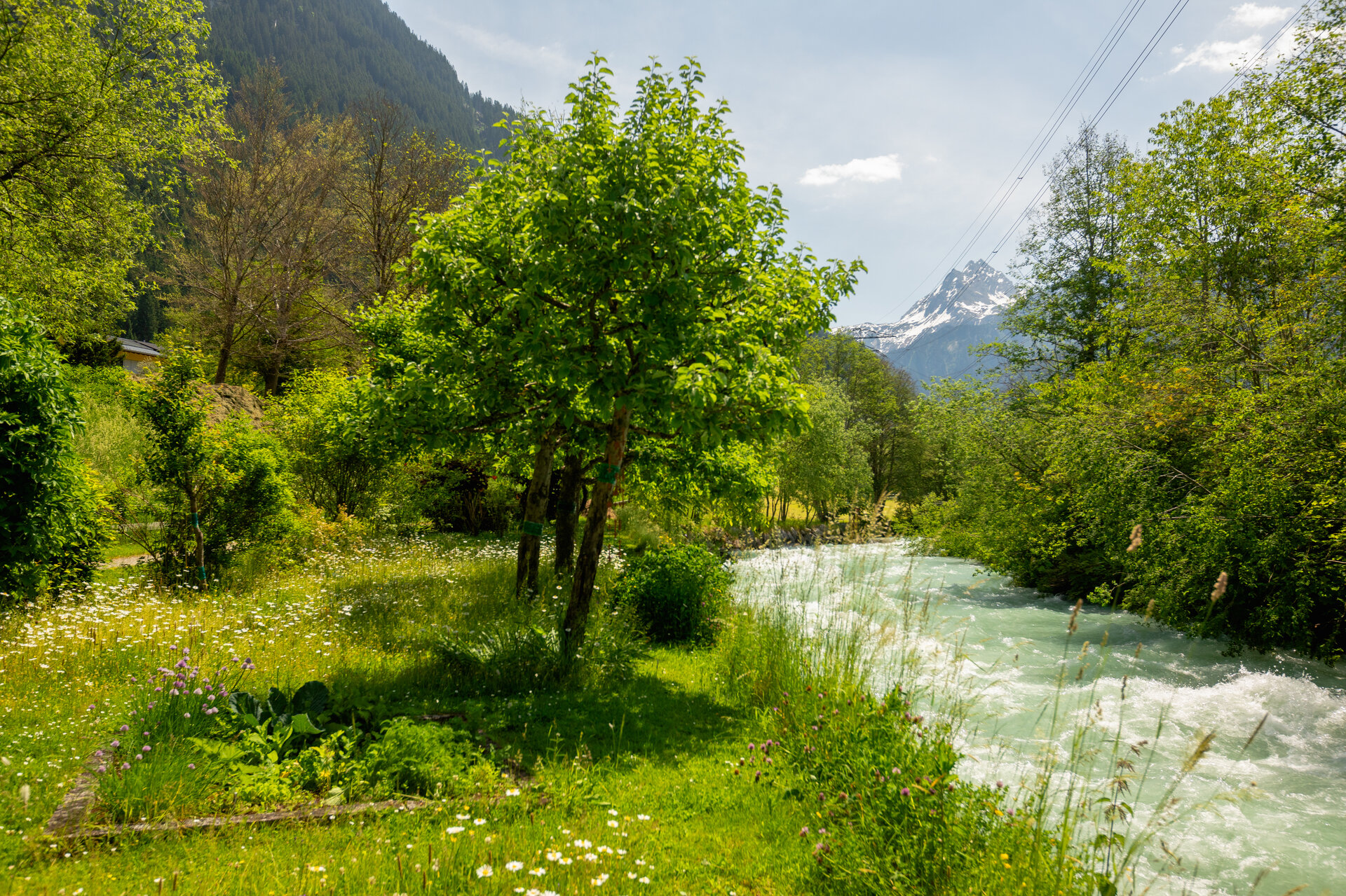
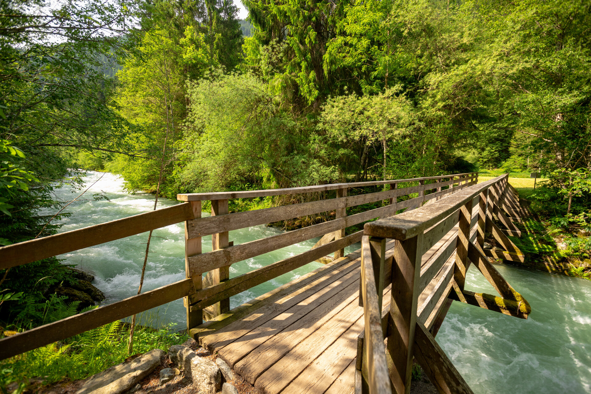
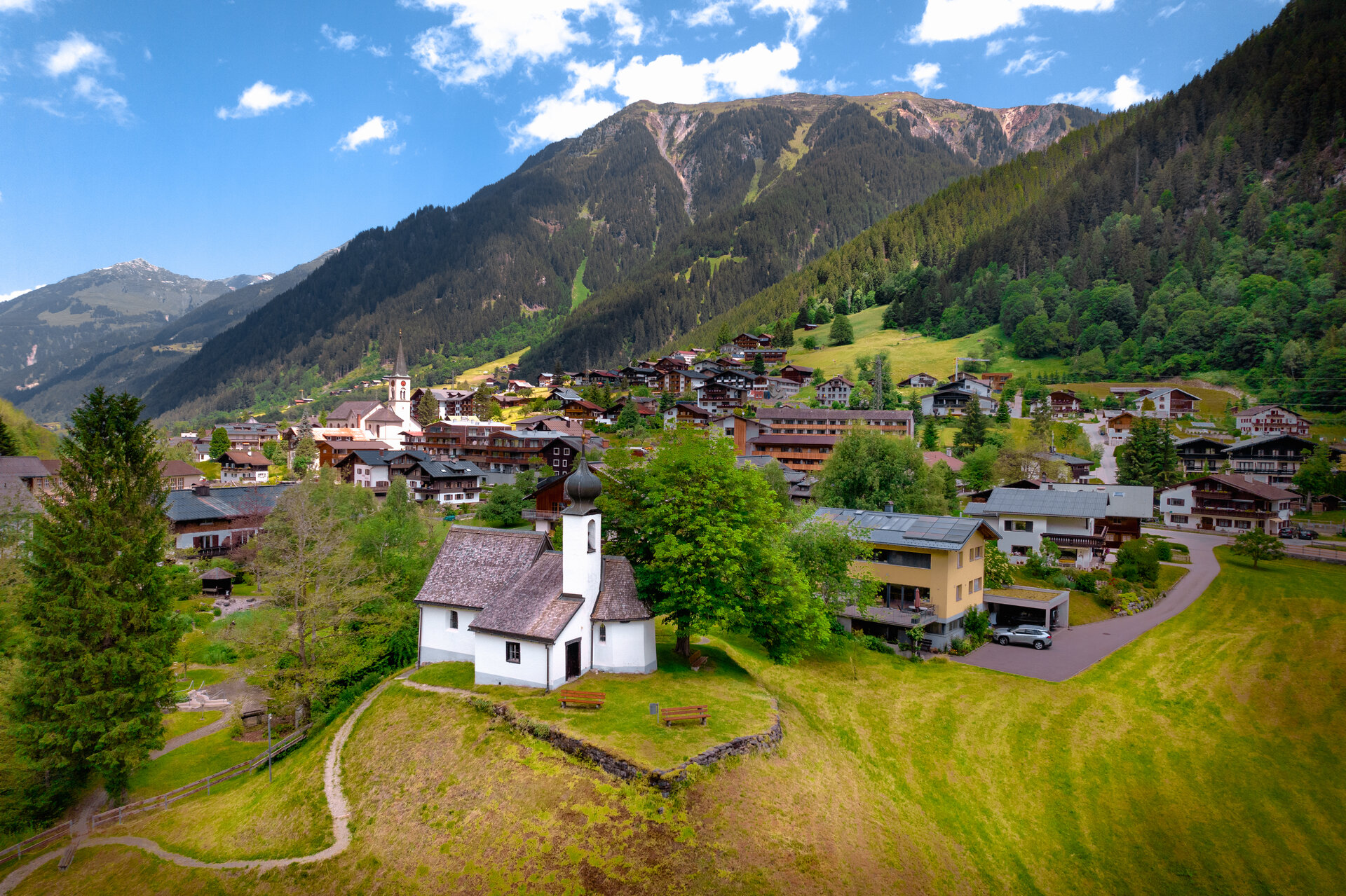
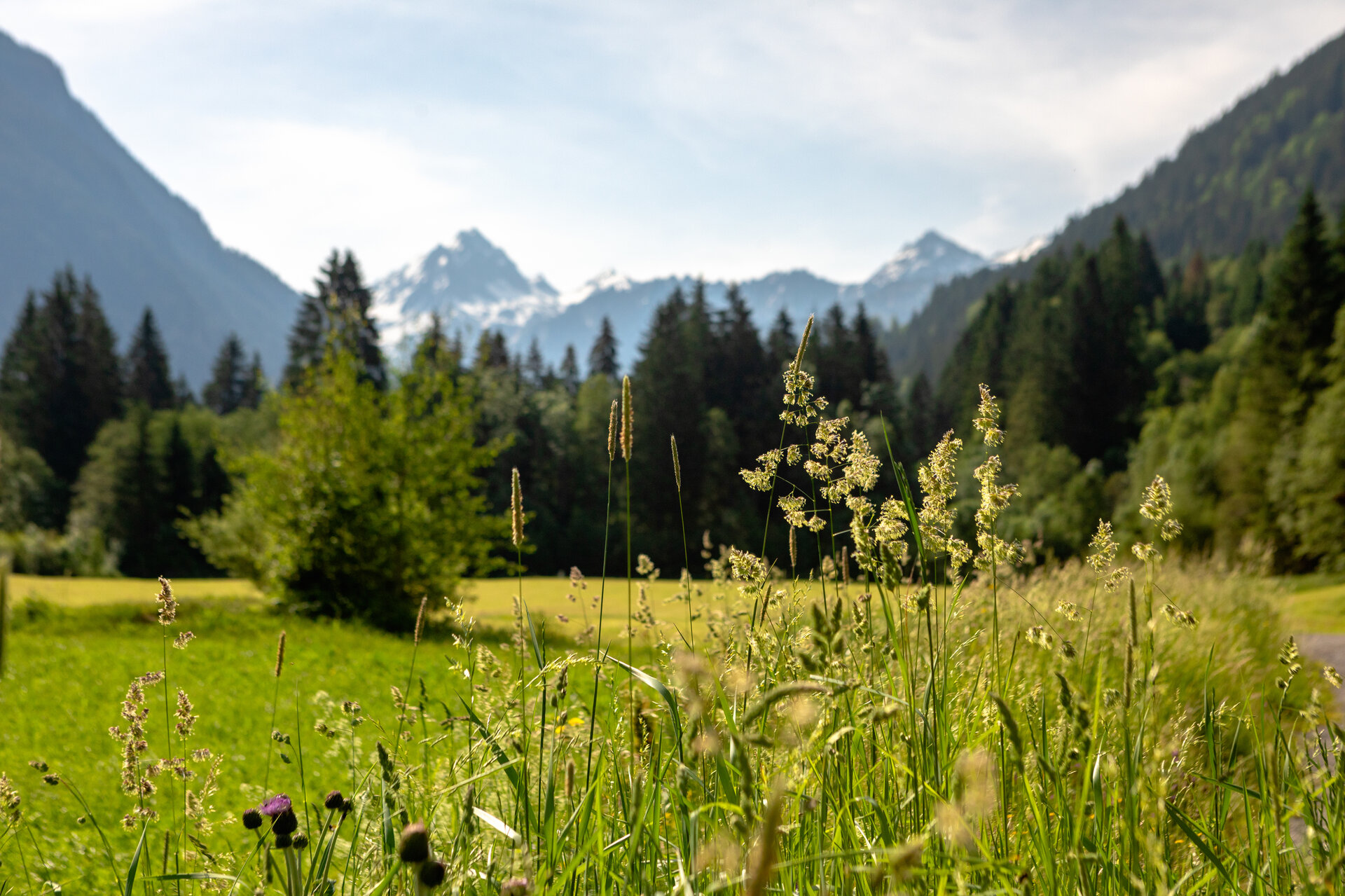
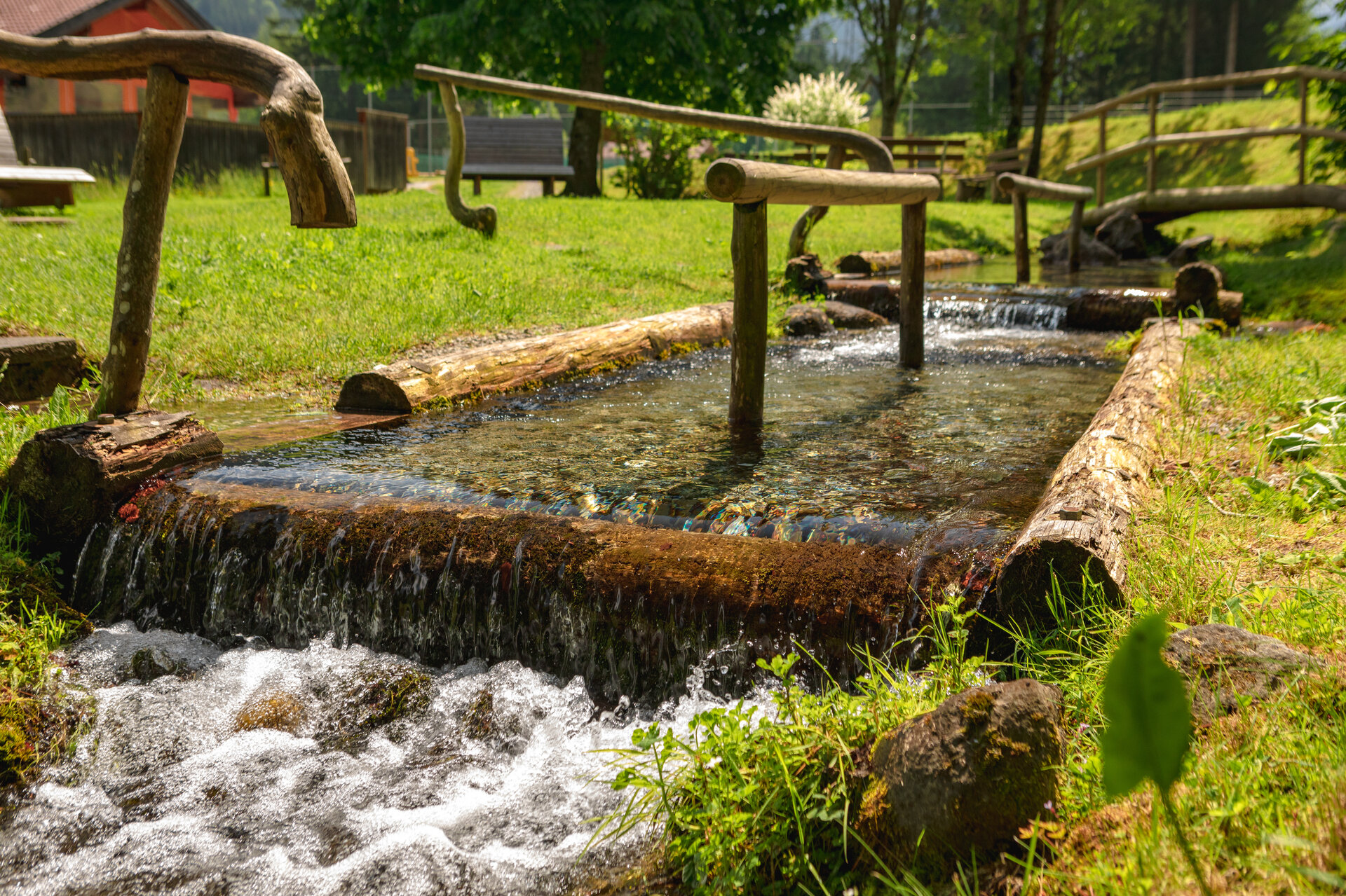
The Talweg trail showcases another aspect of valley life—electricity generation—and runs along the Ill River from St. Gallenkirch through the predominantly agricultural villages all the way to Partenen.

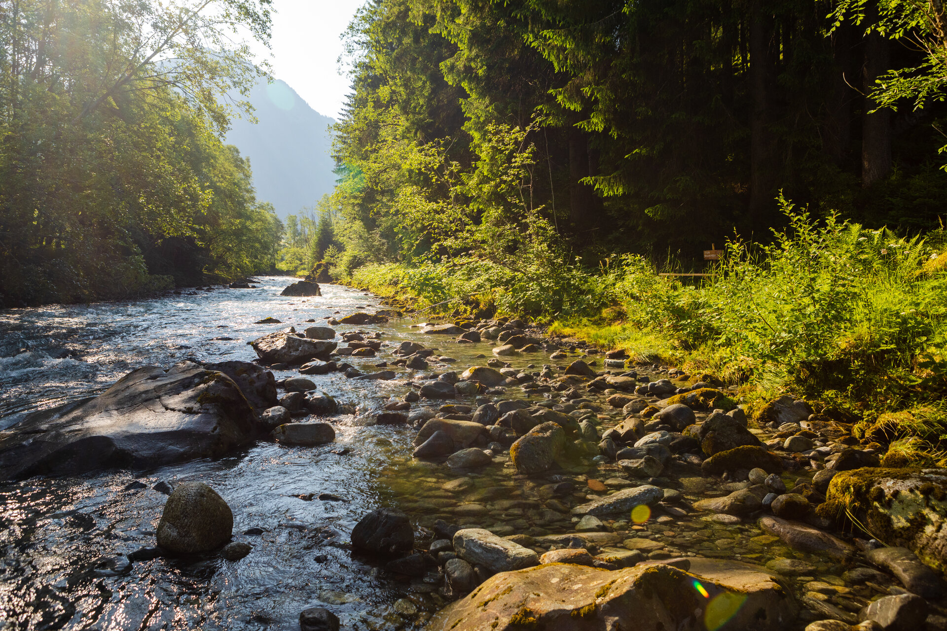
The valley is shaped by two rivers: the Ill and the Suggadin. Like lifelines, they flow through a landscape of villages, scattered settlements, and farmland, where a diverse culture has developed over the centuries.

Today, power generation is a major economic factor in the region and has a particularly strong influence on the upper valley. At the same time, the cultural diversity of the Montafon is reflected, among other things, in the Montafon dialect, which is listed as part of UNESCO’s Intangible Cultural Heritage.

Sicherheitstipps für Wandern in Vorarlberg

EN NOTRUF:

EN 140 - Alpine Notfälle österreichweit 

EN 144 - Alpine Notfälle Vorarlberg 

EN 112 - Euro-Notruf (funktioniert mit jedem Handy/Netz) 

Characteristics
Tour type Hiking, Alpine mosaic – valley, Alpine mosaic, Refreshment stops, Suitable for prams
Difficulty Easy
Start Valisera Bahn Talstation, St. Gallenkirch
Finish Ortszentrum Partenen
Elevation profile
Best time of year
Jan
Feb
Mär
Apr
Mai
Jun
Jul
Aug
Sep
Okt
Nov
Dez