Montafoner huts route | Silvretta-Bielerhöhe to Wiesbadener Hütte

Tour description
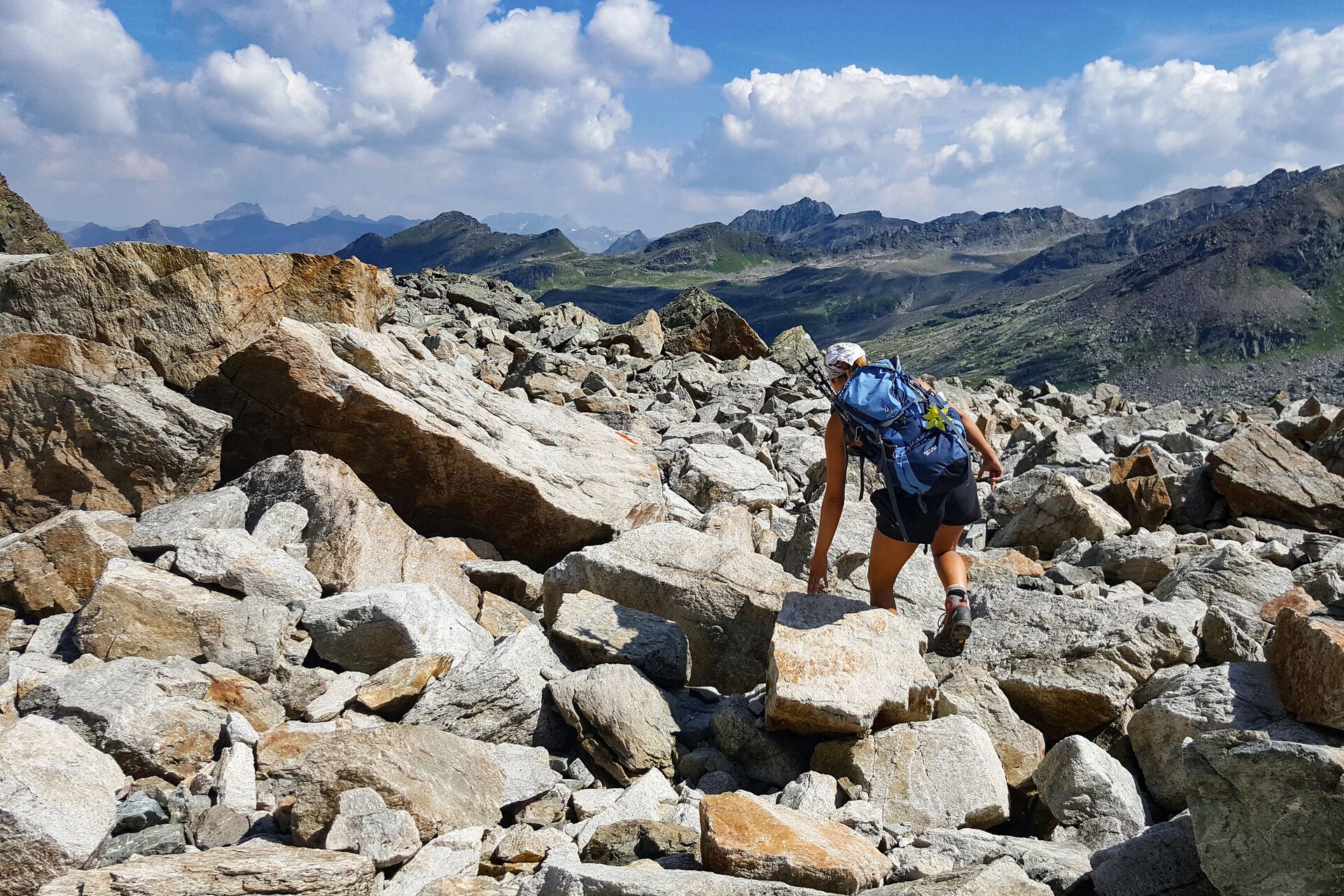
In the high alpine terrain of the Silvretta, you move in this section of the Montafoner huts route at the foot of the nearly 3,000 m high mountain called Hohes Rad.
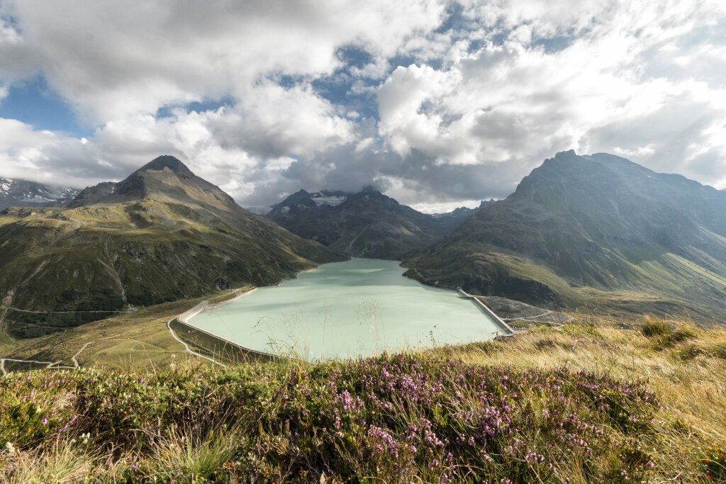
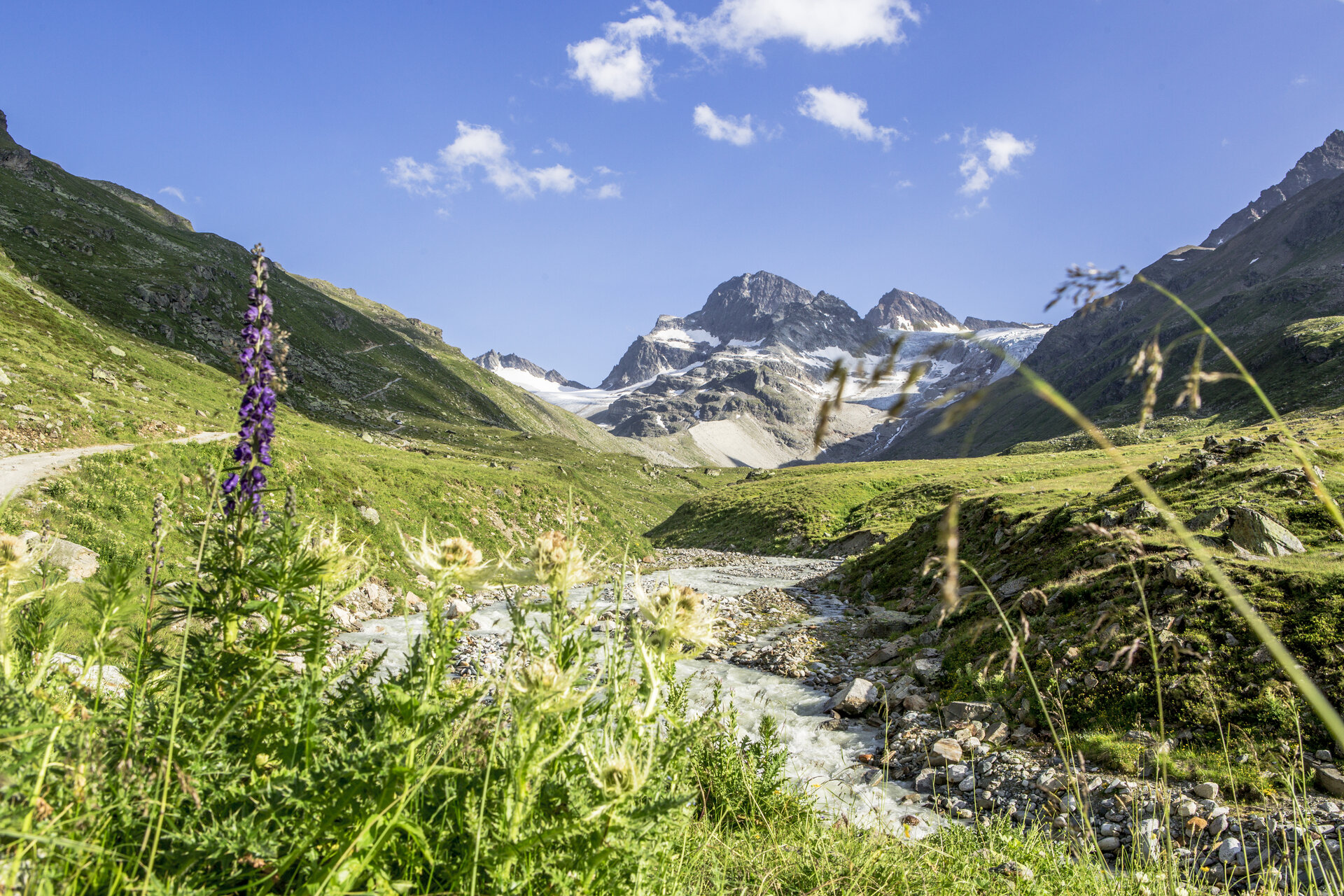
You move in a semicircle around the mighty Hohes Rad and make nearly a full circle. This route starts for you at the Silvrettasee. After a short section along the Silvrettasee, you turn into the Bieltal. The Bieltal offers a real highlight in terms of landscape. Constantly with the Bieltal glacier in front of you, surrounded by almost 3,000 meter high mountains, you head towards the next highlight, the Radsattel. Past the Radsee, you finally reach the Radsattel. The Radsattel offers a wonderful view of the Ochsental Glacier and the Piz Buin, Vorarlberg's highest mountain at 3,312 m. The entire Silvretta massif lies impressively before you. Do not start too early to reach the Wiesbadener Hütte but enjoy this fantastic view. You reach the Wiesbadener Hütte after a descent from the Radsattel towards the Ochsental Glacier.
Sicherheitstipps für Wandern in Vorarlberg
EN NOTRUF:
EN 140 - Alpine Notfälle österreichweit
EN 144 - Alpine Notfälle Vorarlberg
EN 112 - Euro-Notruf (funktioniert mit jedem Handy/Netz)