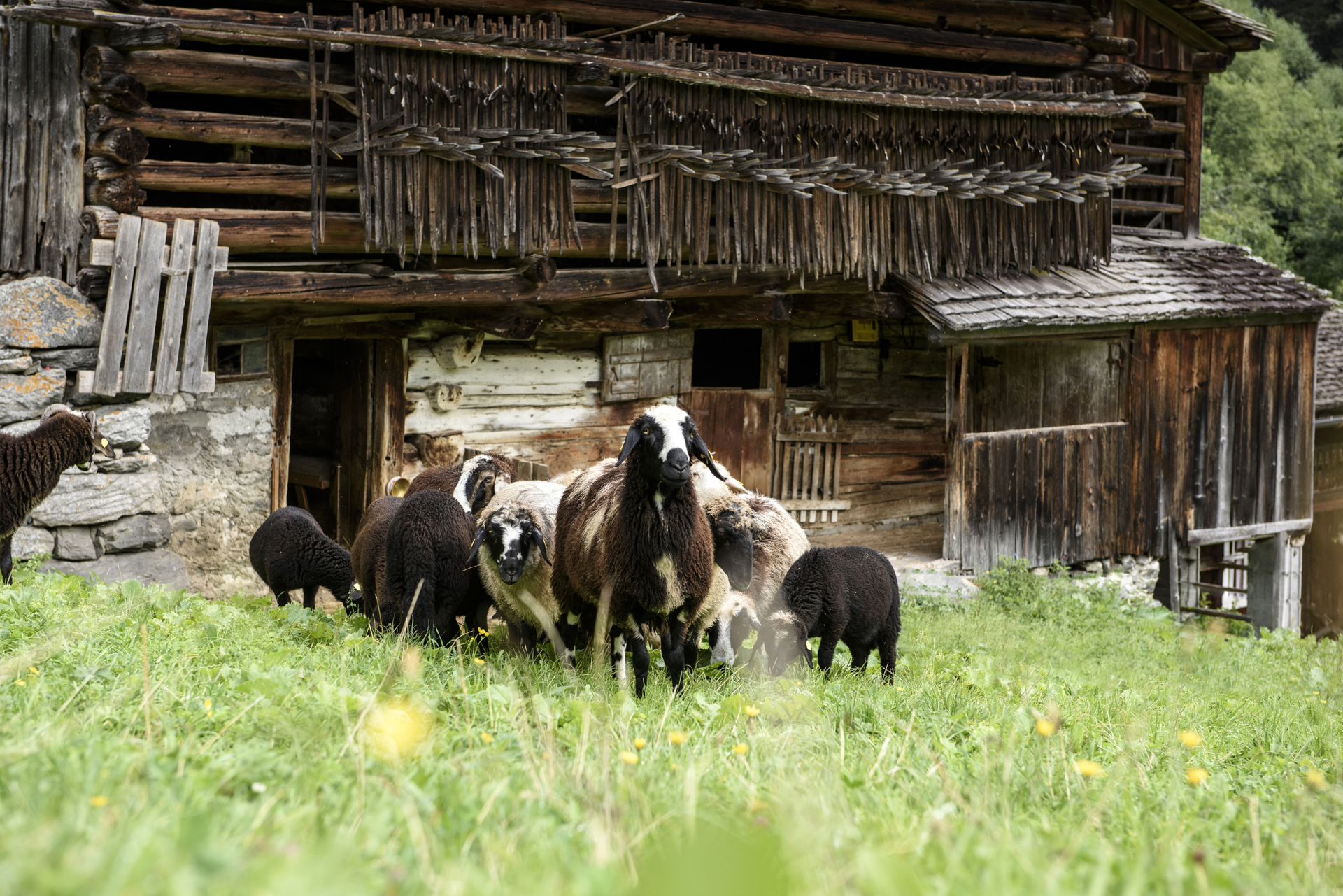
Montafoner Steinschafweg

Moderate
Alpenmosaik - Tal
Rundtour
Themenweg · Alpine mosaic – valley · Round trip
03:30 h duration
9,7 km Length
1201 m Highest point
816 m Lowest point
492 m Ascent
492 m Descent
Condition
Difficulty
Result
Landscape

Tour description

The path provides information about the history and characteristics of this breed of sheep, which is native here and was endangered. The route leads from the town center of St. Gallenkirch down to the Ill River, downstream between forest and pastures to the district of Galgenul. At the bridge over the Suggadinbach, the path goes uphill along the stream towards Gargellen. Via Rüti, it continues along the Montafoner Steinschaf pastures further upstream, until the path on the other side of the valley leads back to St. Gallenkirch via Außergampaping and Neuberg.

Sicherheitstipps für Wandern in Vorarlberg

EN NOTRUF:

EN 140 - Alpine Notfälle österreichweit 

EN 144 - Alpine Notfälle Vorarlberg 

EN 112 - Euro-Notruf (funktioniert mit jedem Handy/Netz) 

Characteristics
Tour type Themenweg, Alpine mosaic – valley, Round trip
Difficulty Moderate
Elevation profile
Best time of year
Jan
Feb
Mär
Apr
Mai
Jun
Jul
Aug
Sep
Okt
Nov
Dez