Tour description
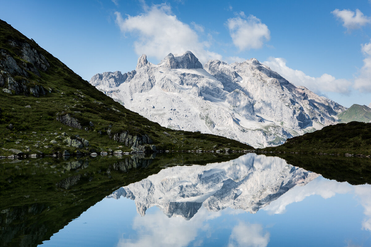
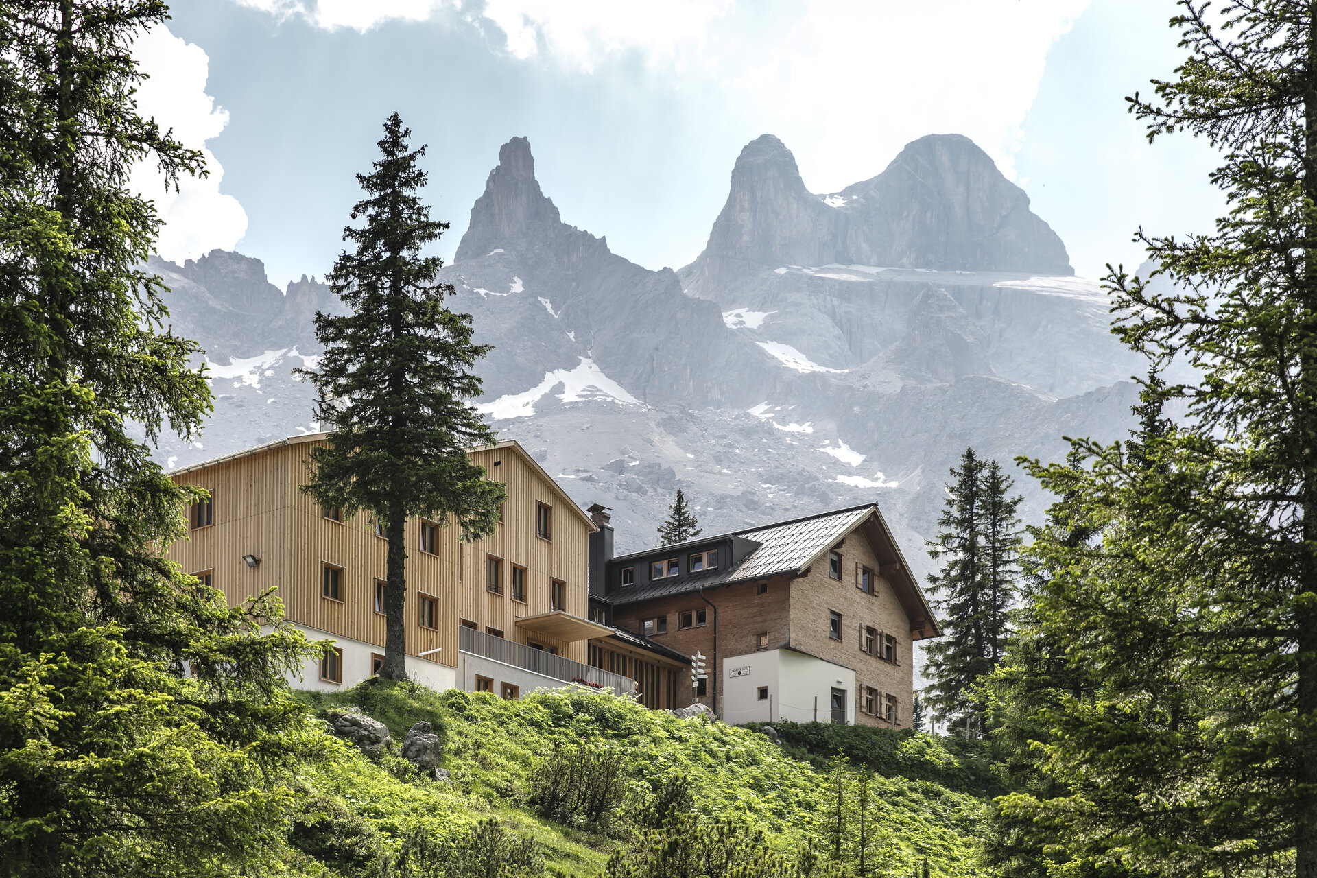
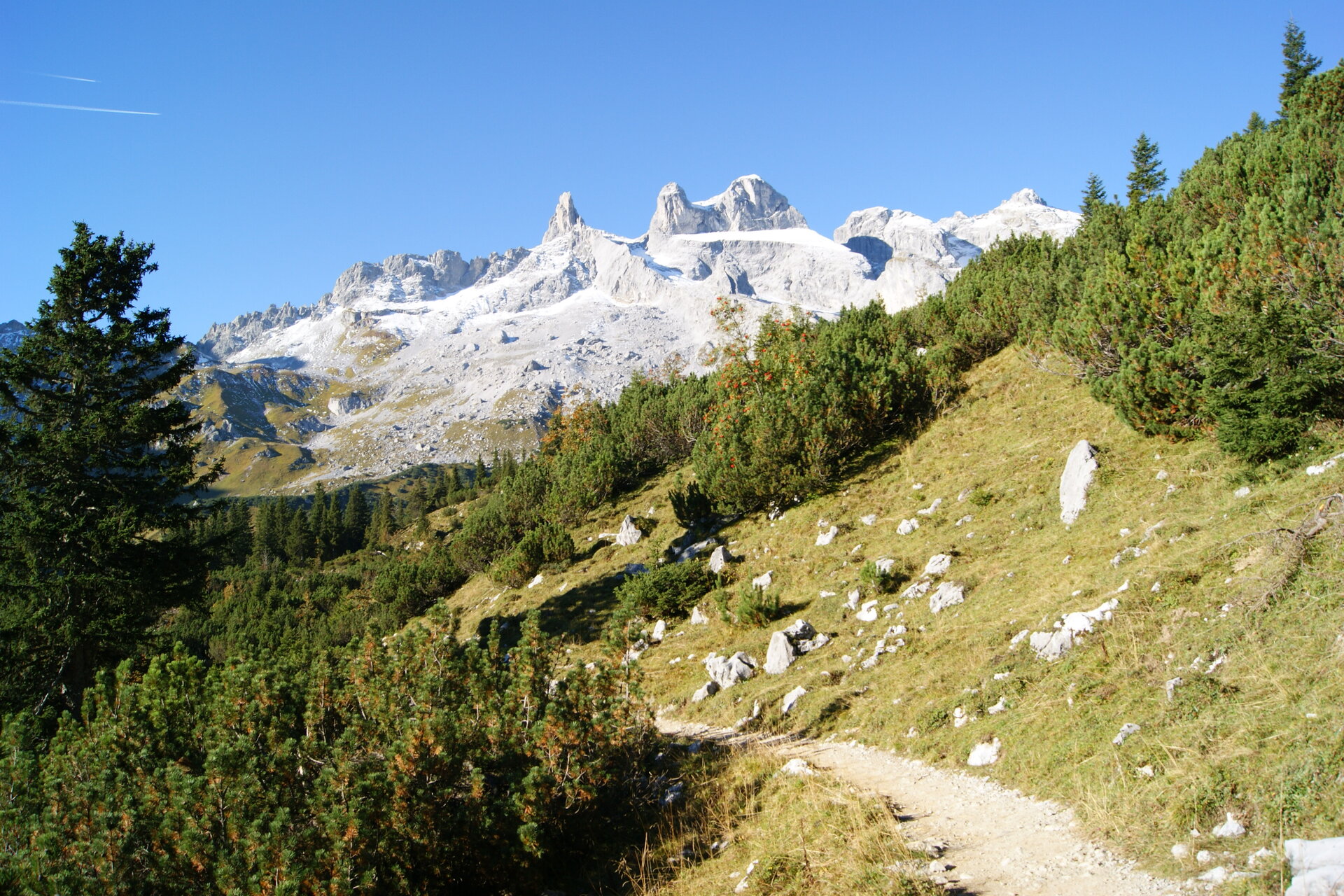
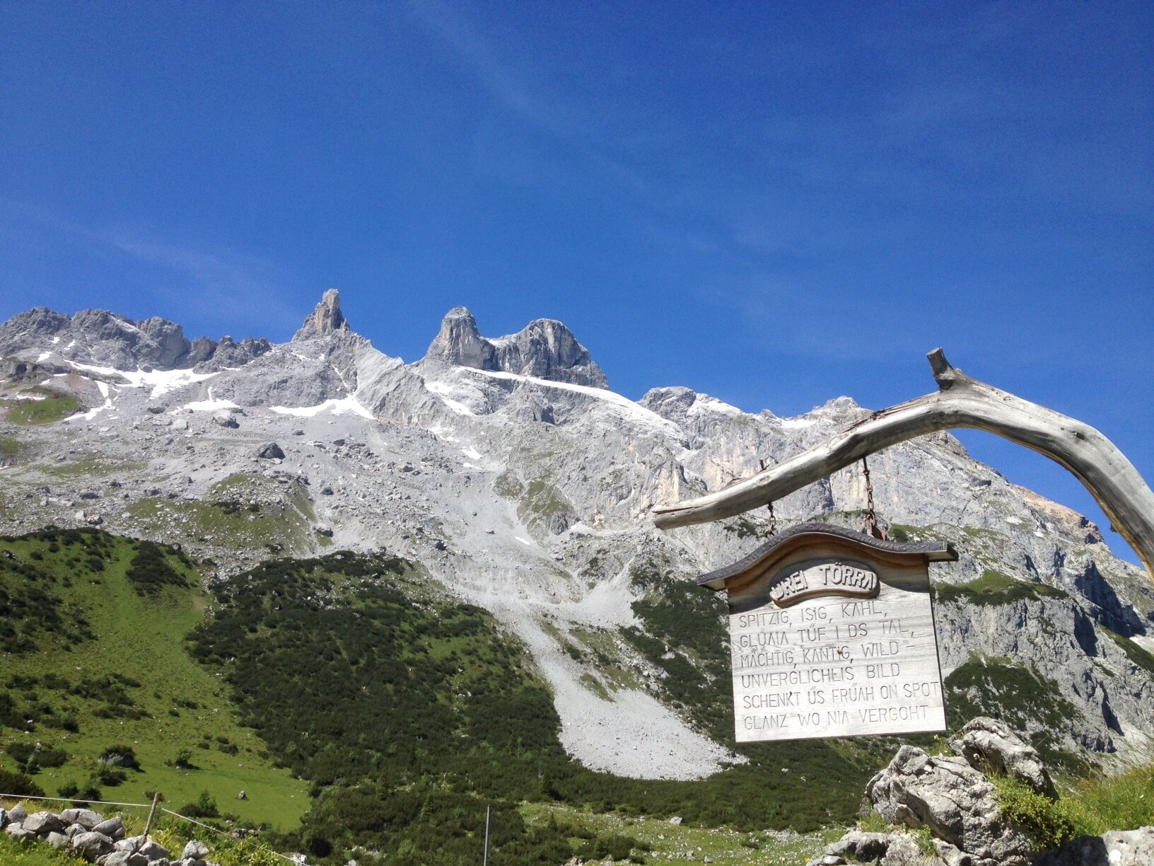
With their unmistakable silhouette, the Three Towers dominate the Rätikon landscape and are considered the symbol of the Montafon. This challenging mountain hike takes you deep into a breathtaking high-mountain world of light-colored limestone cliffs, wide valleys, and striking peaks.
The Small, Middle, and Large Drusen Towers rise toward the sky, almost like dolomite formations. The highest of the three peaks reaches 2,830 meters, while the massive rock faces on the south side drop steeply for up to 600 meters. On this hike, you’ll experience the Three Towers up close and, at the same time, discover the “Botha-Loch” natural monument—a visible testament to the turbulent geological history of this mountain landscape.
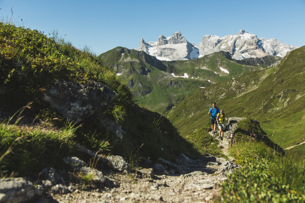
This extensive hike connects the unspoiled Gauertal valley with the rugged peaks of the Rätikon. It requires excellent physical fitness, alpine experience, sure-footedness, and a head for heights. In return, it offers you breathtaking views of a mountain formation that has accompanied, fascinated, and challenged people in the Montafon for generations.