Montafon Valley Route ​|​ From St​.​ Anton im Montafon to Schruns

Moderate
Alpenmosaik - Tal
Hiking · Alpine mosaic – valley · Alpine mosaic
02:50 h duration
7,97 km Length
992 m Highest point
631 m Lowest point
519 m Ascent
461 m Descent
Condition
Technique
Difficulty
Result
Landscape

Tour description

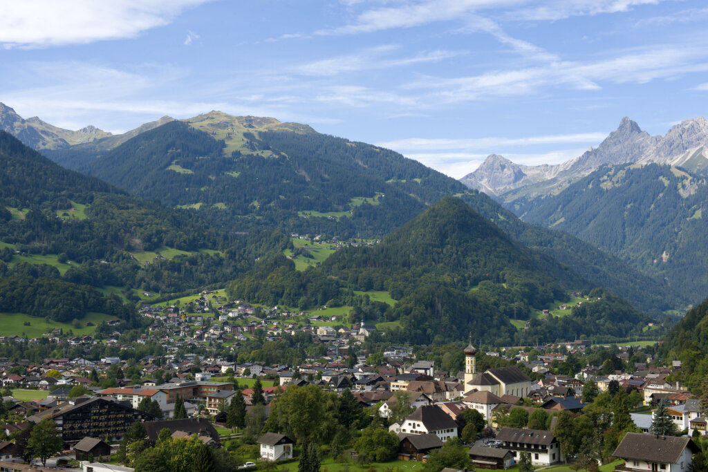
The Montafon Valley Trail shows you what makes the valley—with its villages, scattered settlements, and cultivated land—such a unique habitat, connecting scenic trails on the Bartholomäberg with the center of Schruns.

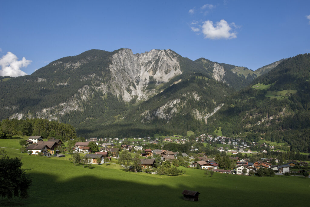
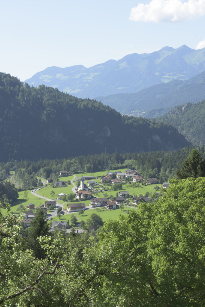
The Montafon Valley Trail takes you through a diverse cultural landscape where villages, scattered houses, meadows, and farmland blend together. Along the way, you’ll see how people have shaped and transformed the valley over generations.

From the slopes of the Bartholomäberg, beautiful views of the Montafon open up time and again. Alternating stretches of forest and meadows keep the scenery varied before the tour finally leads to Schruns.
Sicherheitstipps für Wandern in Vorarlberg

EN NOTRUF:

EN 140 - Alpine Notfälle österreichweit 

EN 144 - Alpine Notfälle Vorarlberg 

EN 112 - Euro-Notruf (funktioniert mit jedem Handy/Netz) 

Characteristics
Tour type Hiking, Alpine mosaic – valley, Alpine mosaic
Difficulty Moderate
Start Klettersteigparkplatz St. Anton im Montafon
Finish Schruns
Elevation profile
Best time of year
Jan
Feb
Mär
Apr
Mai
Jun
Jul
Aug
Sep
Okt
Nov
Dez