Montafon Valley Trail ​|​ Schruns to St​.​ Gallenkirch

Moderate
Alpenmosaik - Tal
Hiking · Alpine mosaic – valley · Alpine mosaic · Schruns
03:20 h duration
11,0 km Length
876 m Highest point
689 m Lowest point
328 m Ascent
141 m Descent
Condition
Technique
Difficulty
Result
Landscape

Tour description

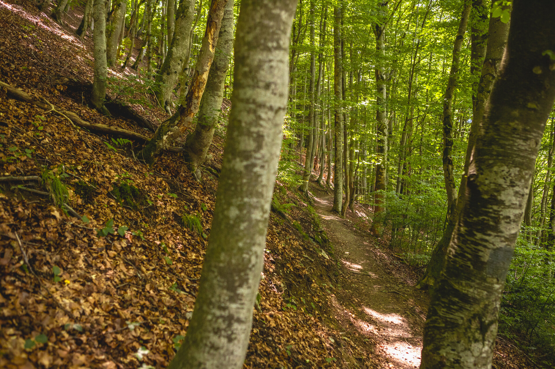
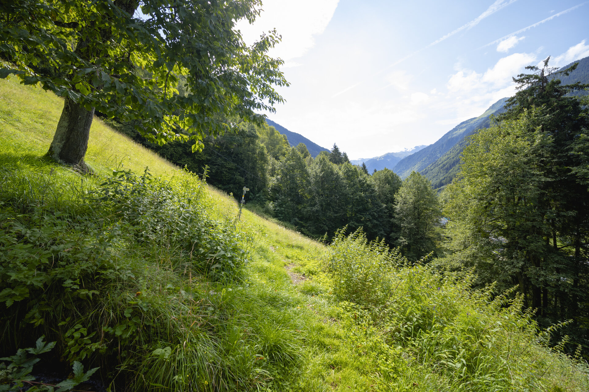
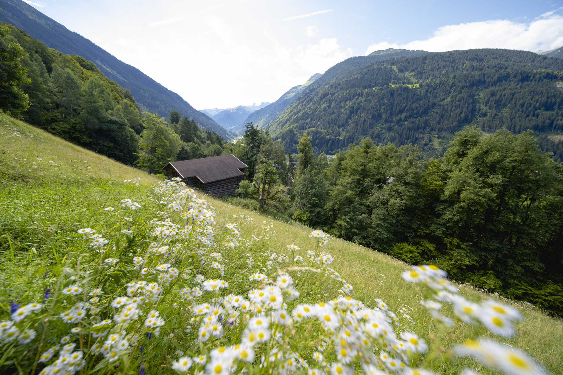
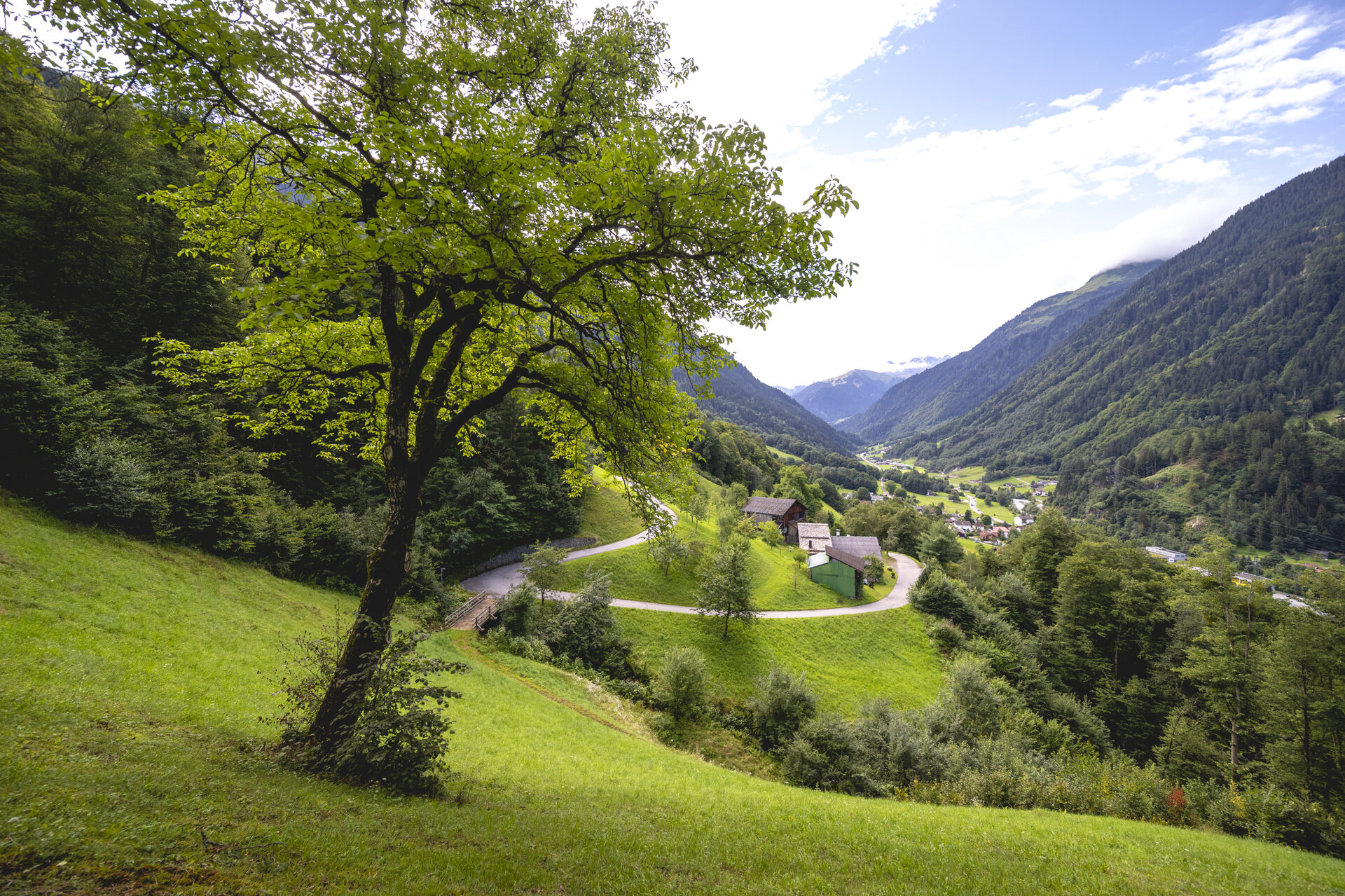
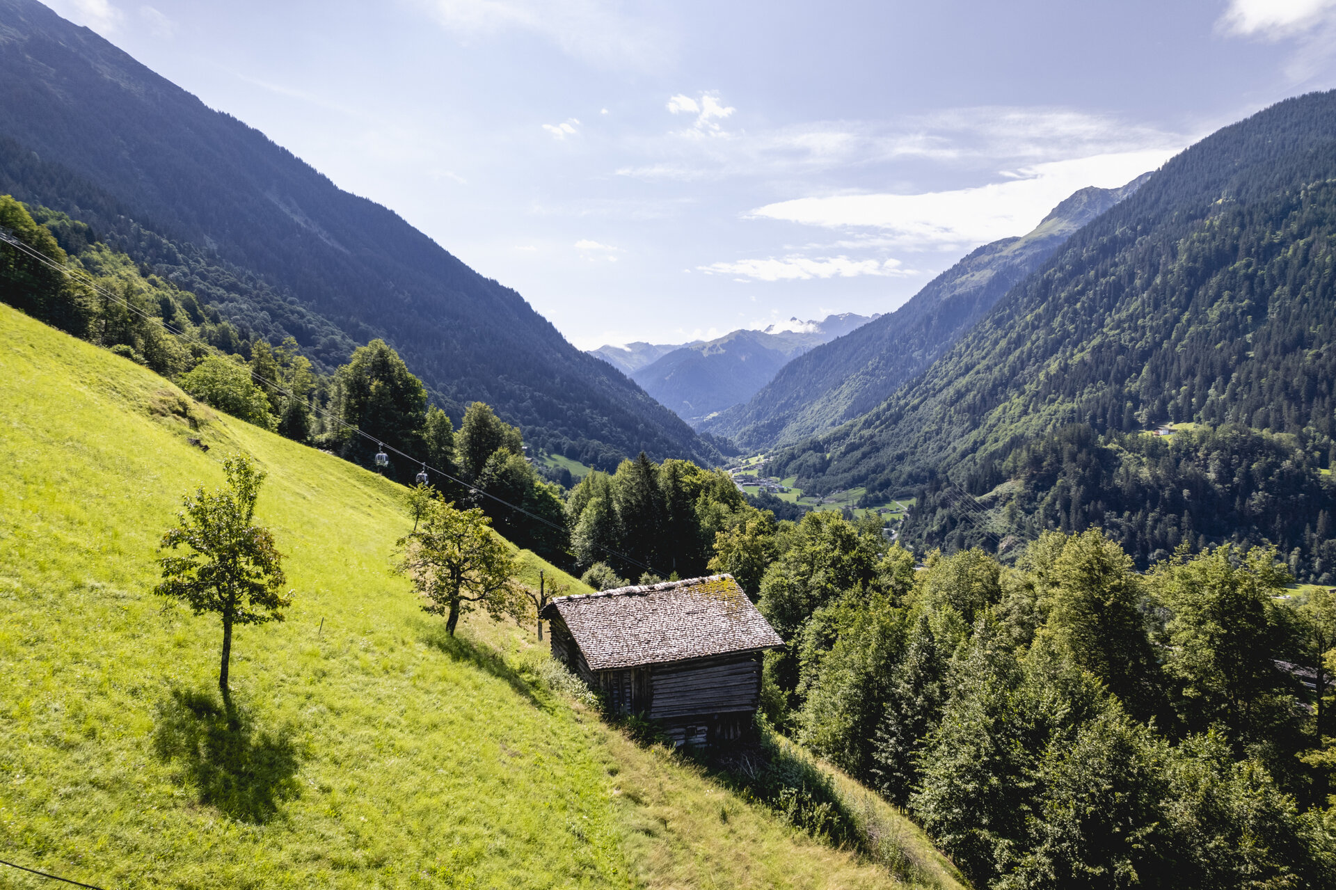
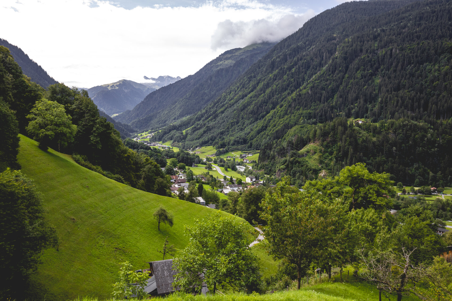
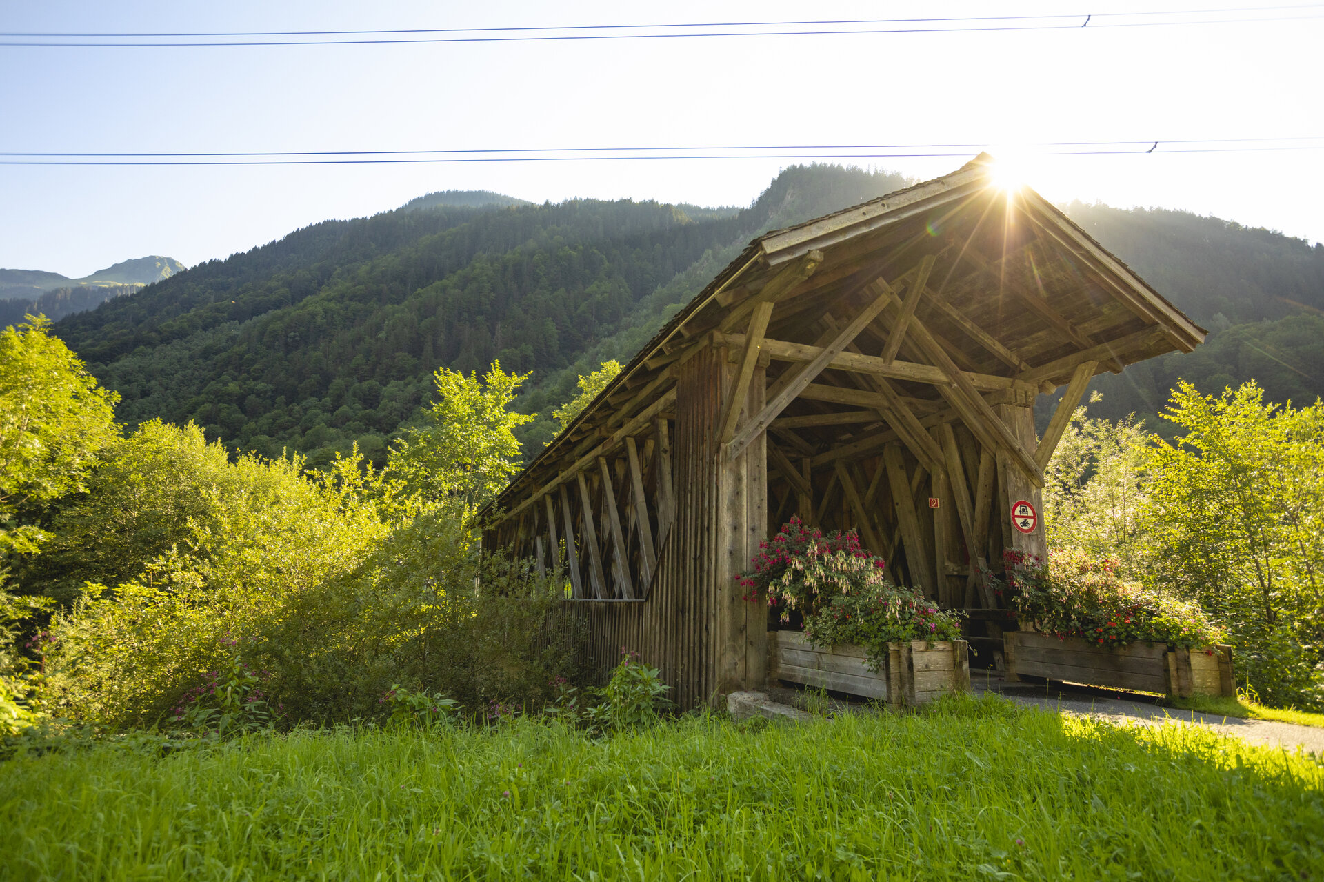
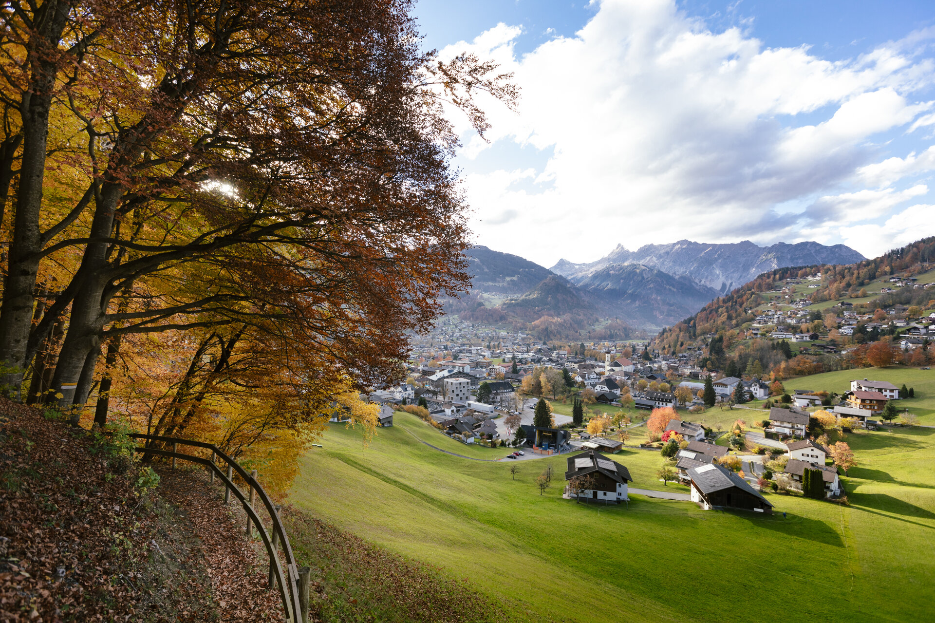
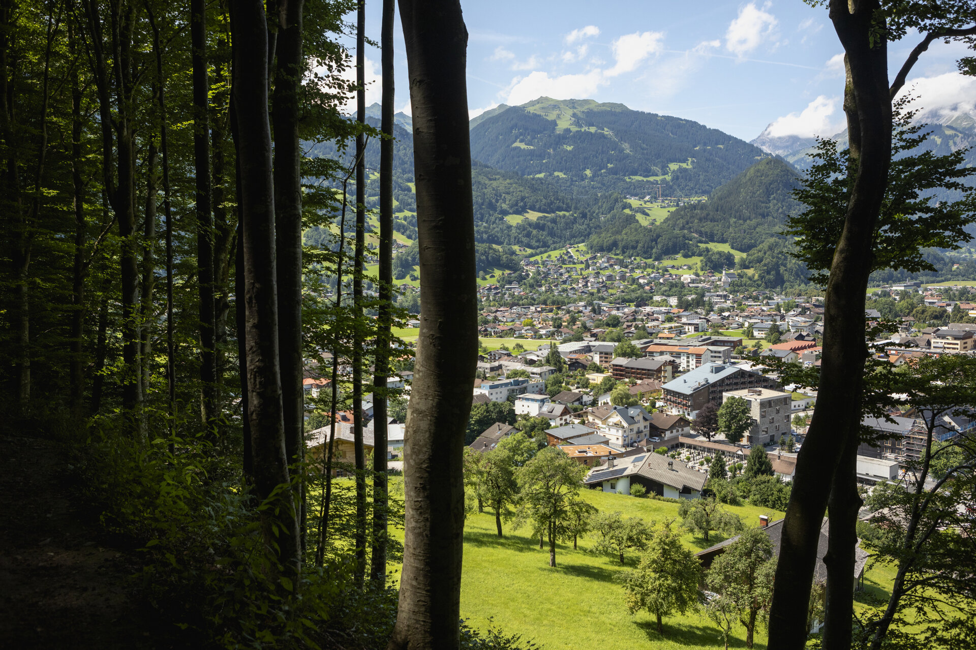
The Talweg trail brings the valley’s natural environment to life and takes you from Schruns across the sunny side of the Montafon and along the Ill River all the way to St. Gallenkirch.

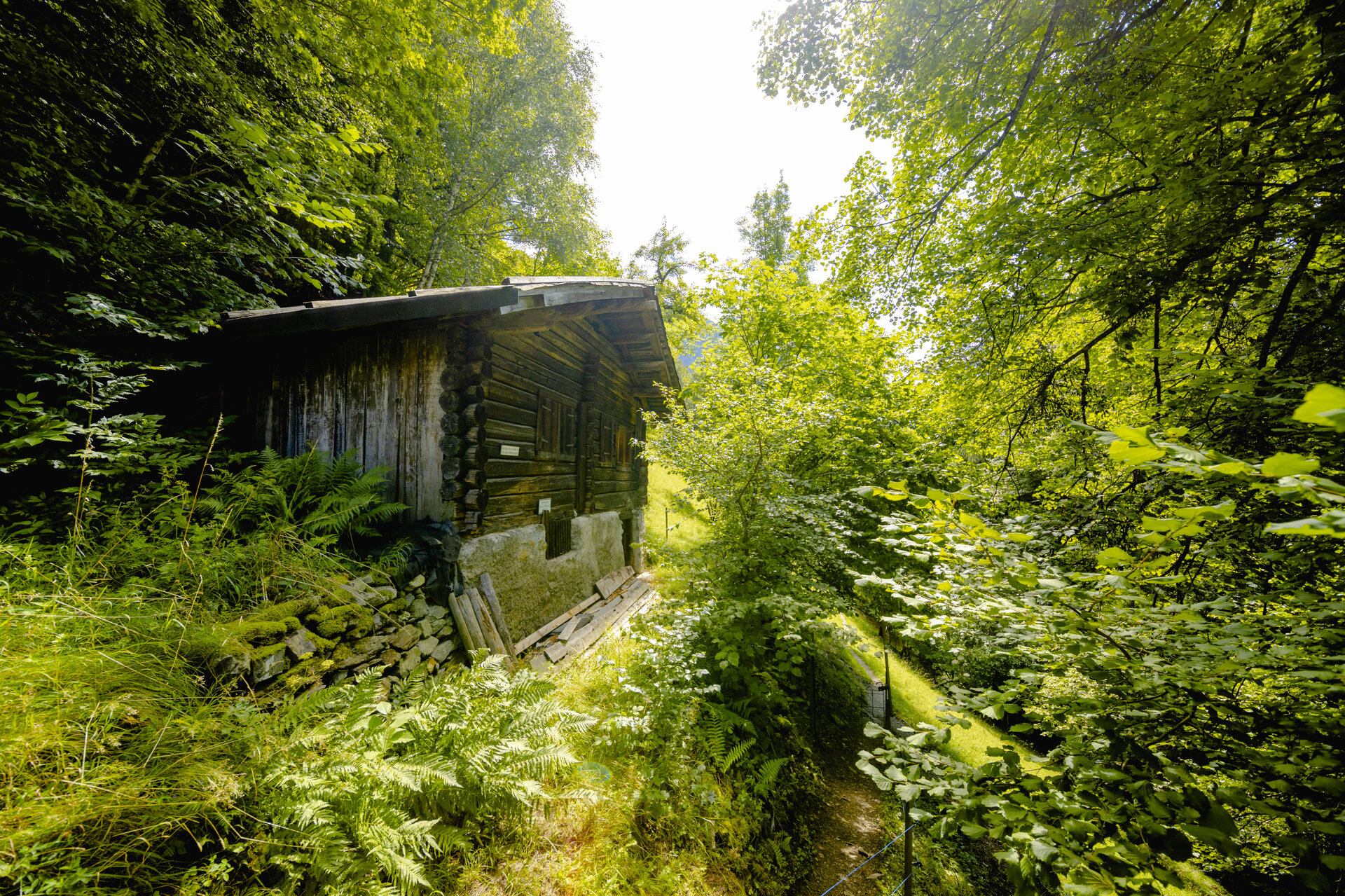
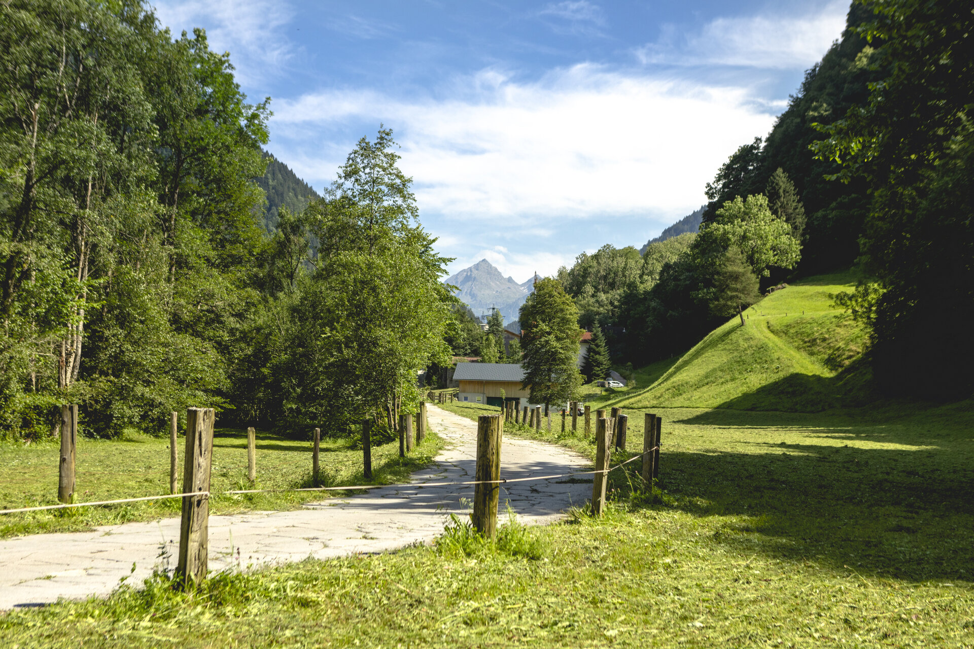
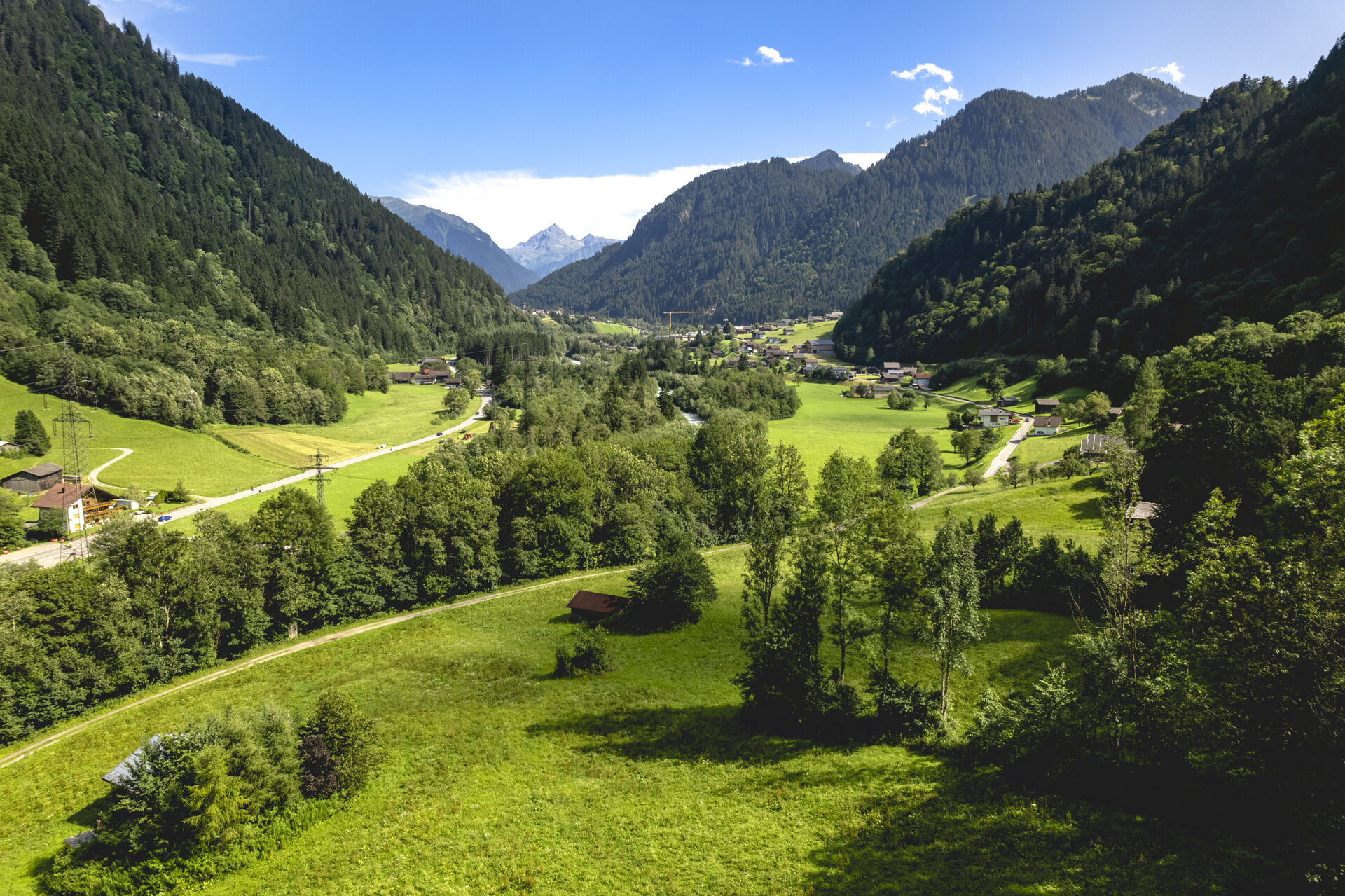
The Montafon Valley Trail brings the valley’s habitat—with its villages, scattered settlements, and agricultural lands—to life. It reveals just how closely the cultural landscape is intertwined with the lives and livelihoods of the people of Montafon.

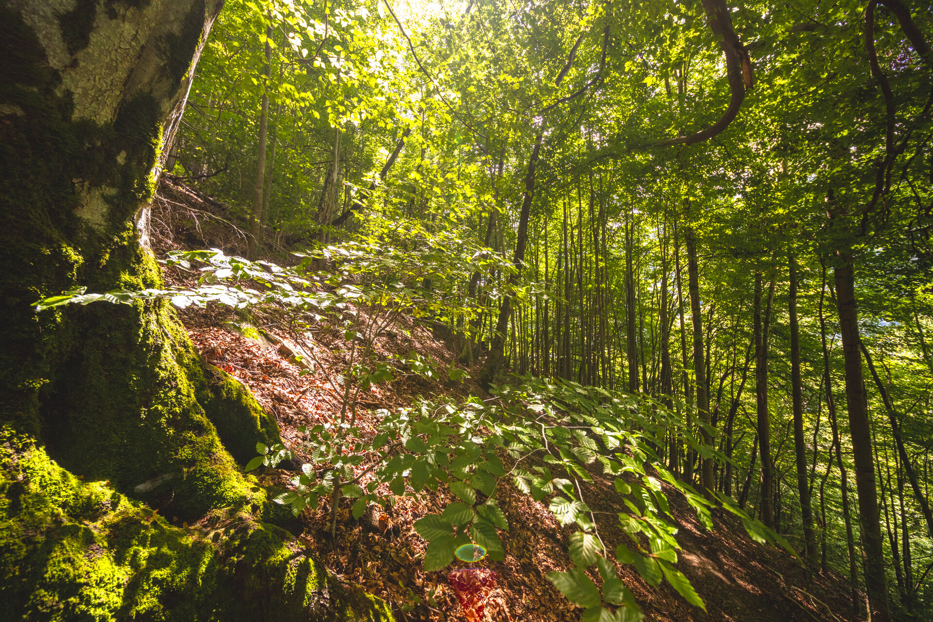
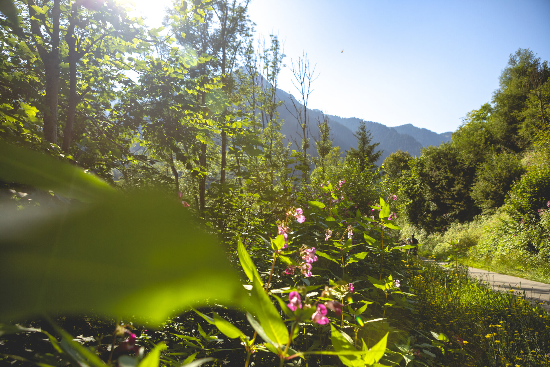
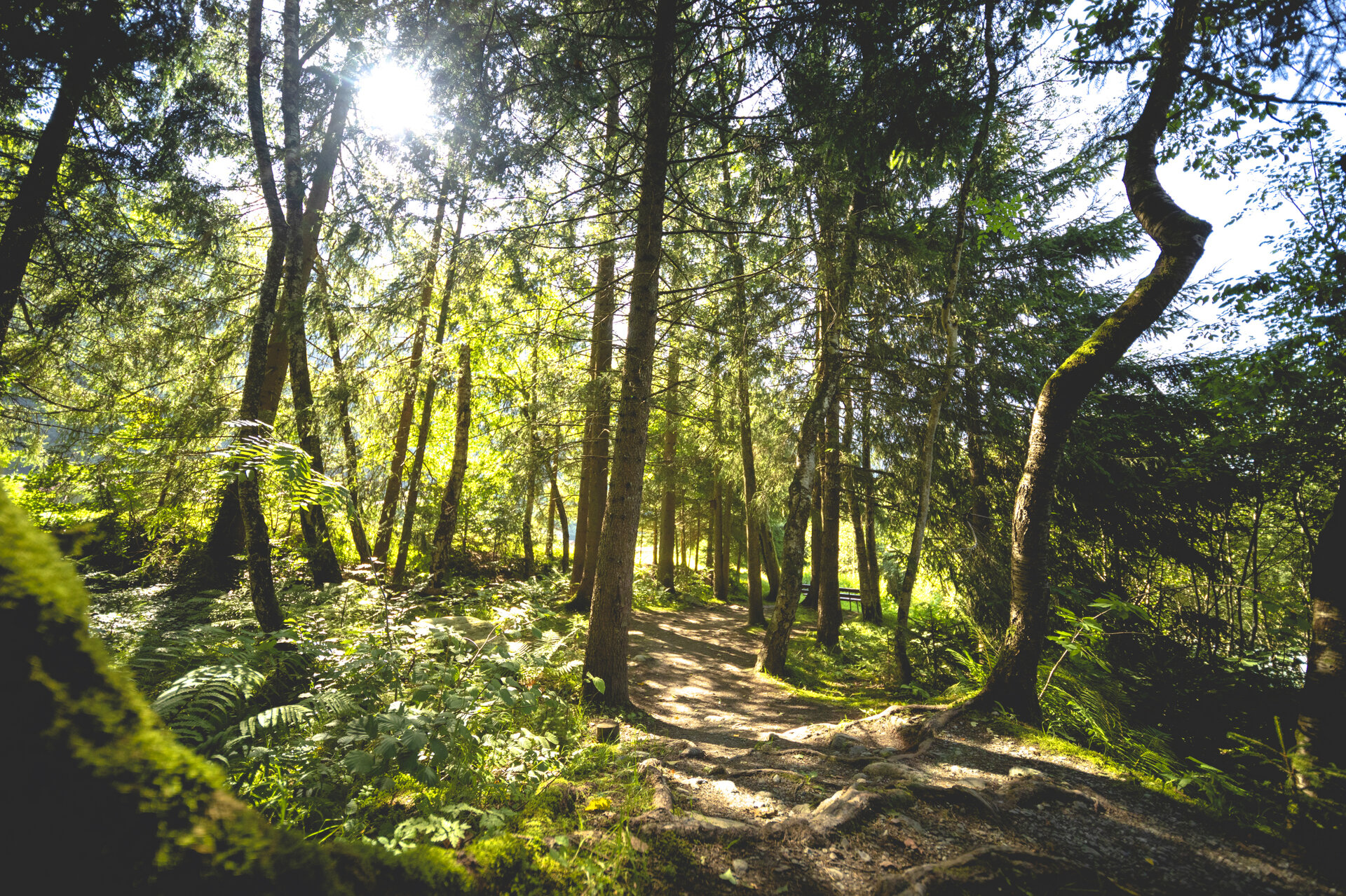
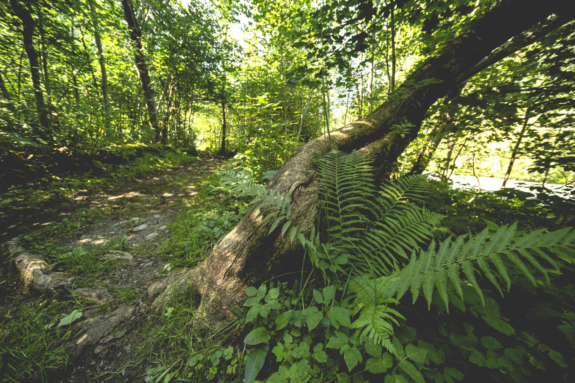
The former Via Valtellina trade route is another historical feature of the tour. Especially in the morning, the trail offers pleasant, shaded, and cool stretches and repeatedly provides beautiful views of the Montafon landscape.

Sicherheitstipps für Wandern in Vorarlberg

EN NOTRUF:

EN 140 - Alpine Notfälle österreichweit 

EN 144 - Alpine Notfälle Vorarlberg 

EN 112 - Euro-Notruf (funktioniert mit jedem Handy/Netz) 

Characteristics
Tour type Hiking, Alpine mosaic – valley, Alpine mosaic
Difficulty Moderate
Start Schruns
Finish Ortszentrum St. Gallenkirch
Elevation profile
Best time of year
Jan
Feb
Mär
Apr
Mai
Jun
Jul
Aug
Sep
Okt
Nov
Dez