Tour description
Silvretta-Bielerhöhe - Klostertal - Litznersattel - Saarbrücker Hütte - Schwarze Böden - Tschifernella - Silvretta-Bielerhöhe
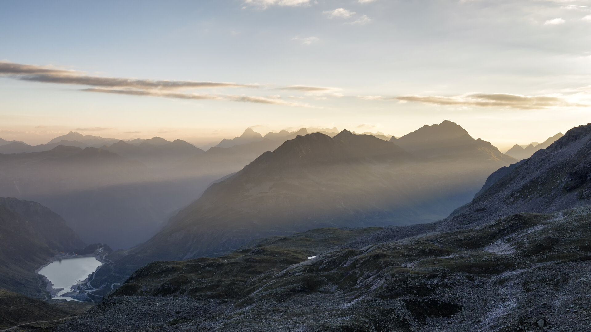
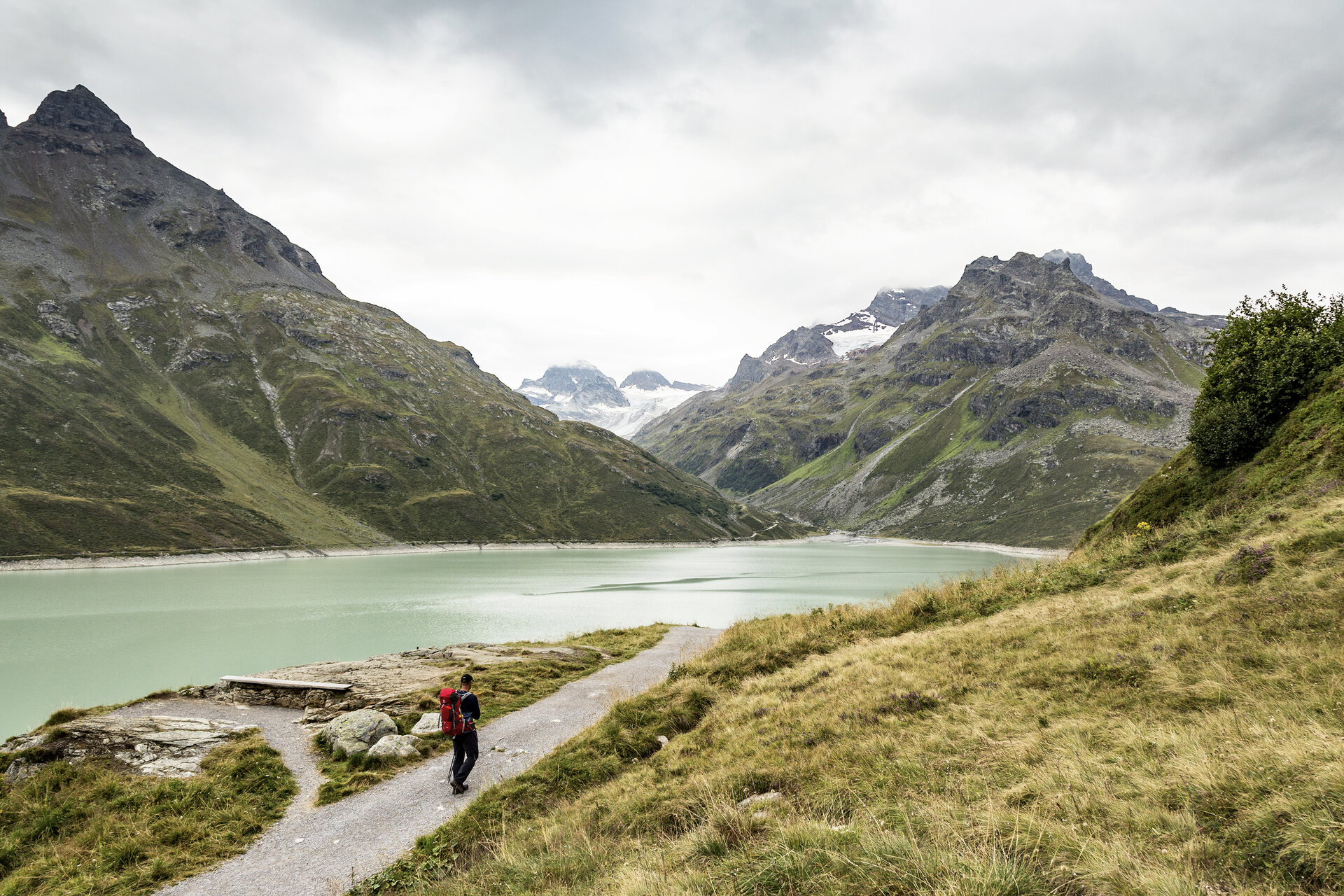
The Silvretta is a cross-border mountain range between the countries Austria and Switzerland. On the Austrian side the border runs between the federal states of Vorarlberg and Tyrol. Most peaks lie at an altitude above 2,500 meters, so you are constantly hiking above the tree line. The best known and highest peak in Vorarlberg is Piz Buin at an altitude of 3,255 m. Between 1925 and 1930 the Illwerke built the Vermunt reservoir and during the 2nd World War the Silvretta reservoir was started. Since 1954 Partenen (Montafon) and the Paznaun valley (Galtür) have been connected by the Silvretta High Alpine Road. This road is about 25 km long. However, this connection is closed from November to May.
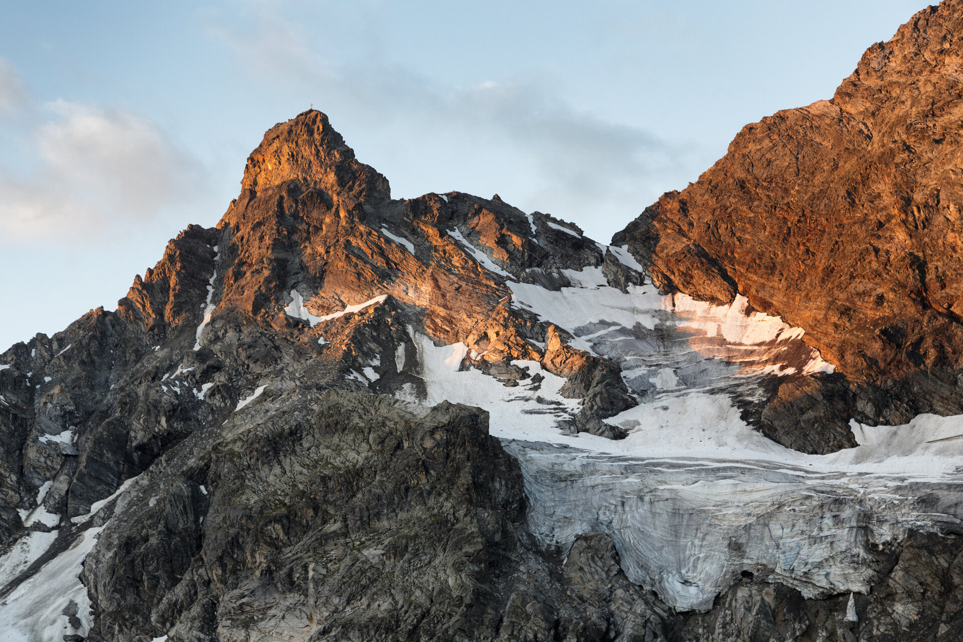
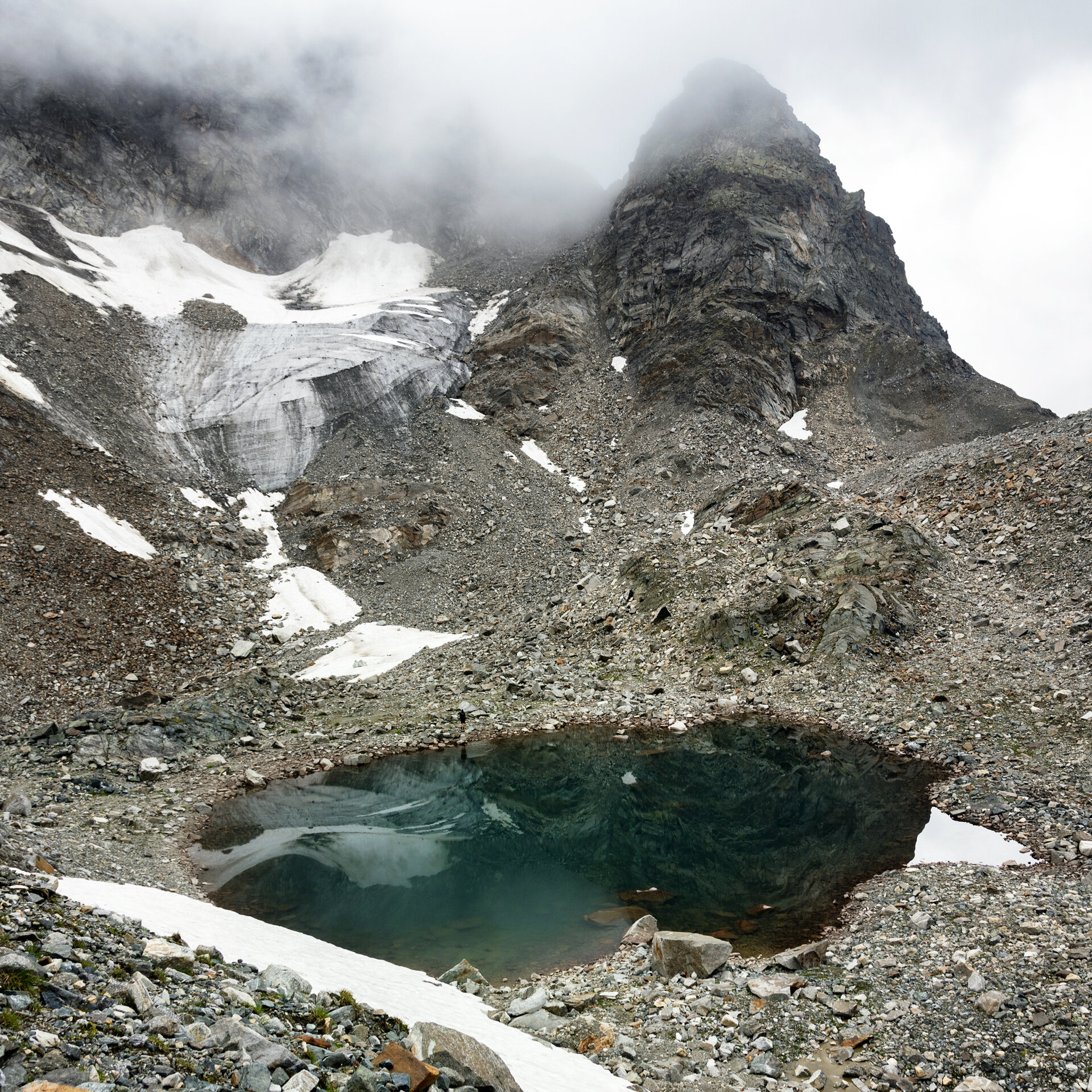
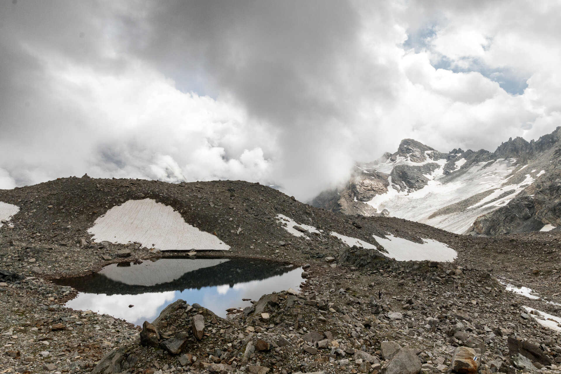
This mountain route focuses on experiencing glaciers and their traces upon retreat. On the ascent, we walk through a typical, impressive and seemingly untouched high valley with small moors, blocks of crystalline rock, and side branches of the main stream with clear water.