Silvretta​-​Bielerhöhe to Saarbrücker Hütte ​(​2​-​538 m​)​ and back

Difficult
Einkehrmöglichkeit
Rundtour
Hiking · Refreshment stops · Round trip
05:30 h duration
20,4 km Length
2541 m Highest point
1909 m Lowest point
771 m Ascent
771 m Descent
Condition
Technique
Difficulty
Result
Landscape

Tour description

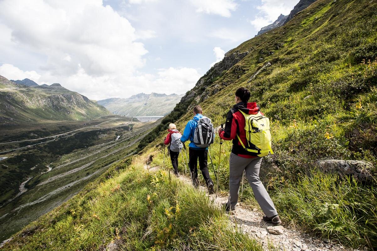
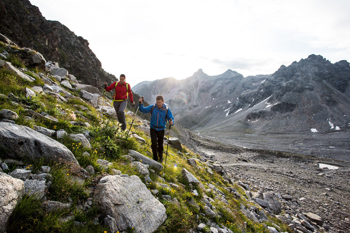
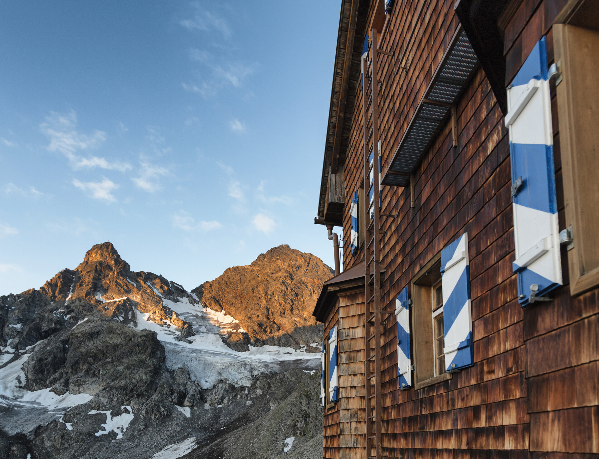
A scenic loop hike from the Silvretta-Bielerhöhe to the high-altitude Saarbrücker Hütte and back to the starting point through the alpine landscape of the Kromertal.

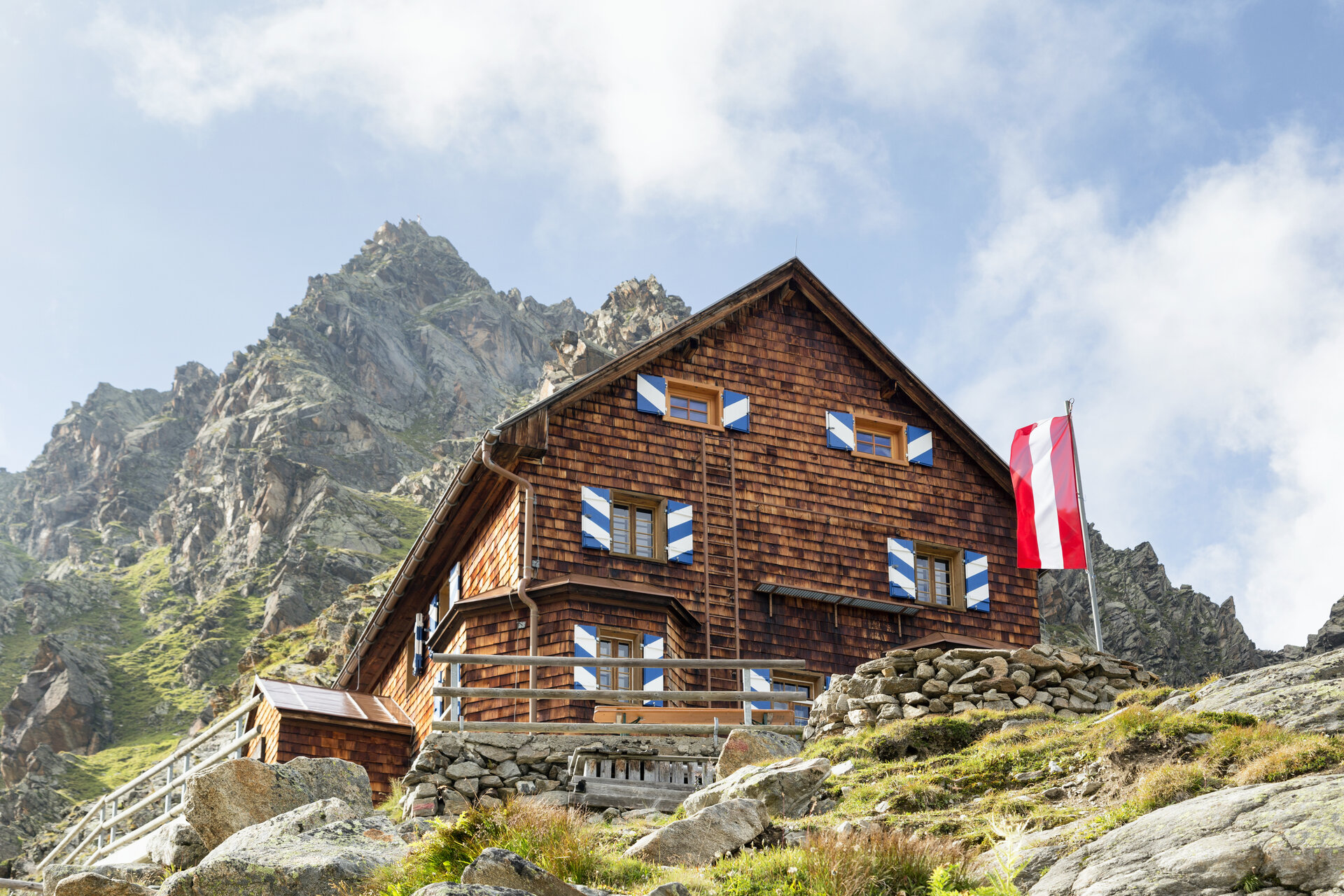
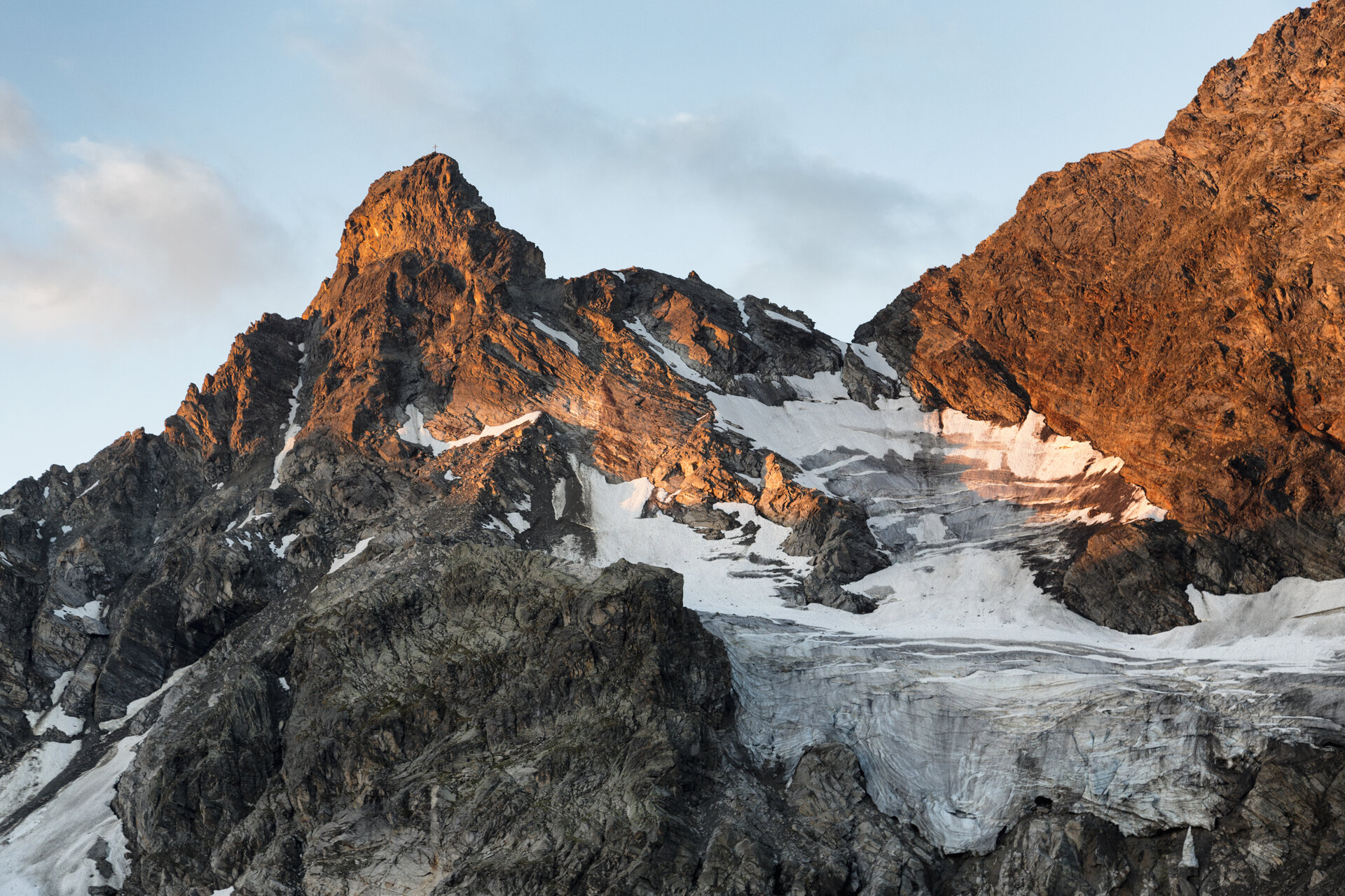
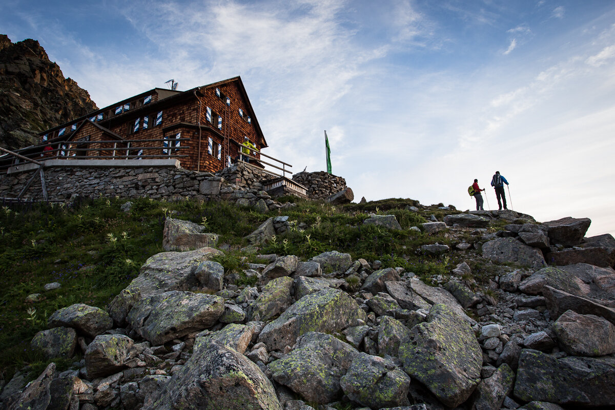
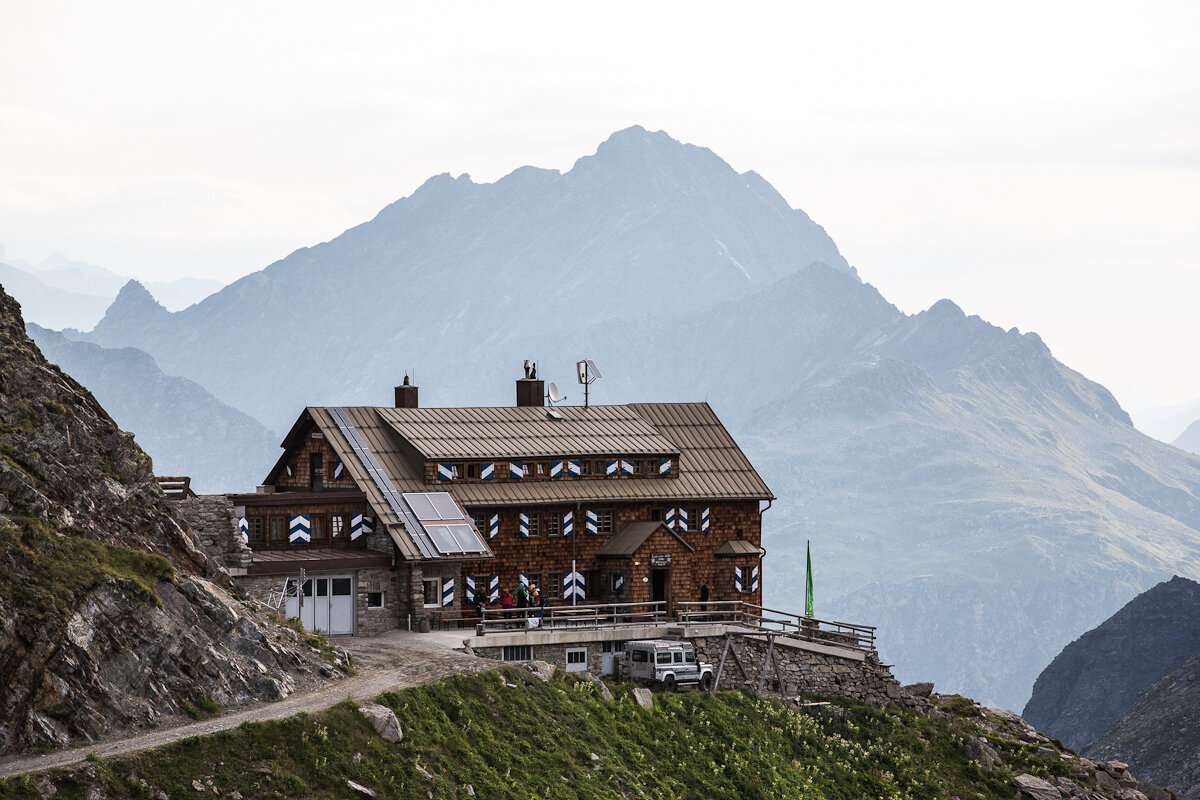
From the Silvretta-Bielerhöhe, you’ll first hike downhill past the Madlenerhaus, cross the Ill River, and then ascend via the Tschifernella to the Saarbrücker Hütte, which comes into view impressively even before you reach the two small mountain lakes. After a rest with a sweeping view of the glaciated mountain landscape, the return route takes you across the Schwarzen Böden through the Kromertal valley toward Großvermunt. At the Kromerbach stream, you branch off and return to the Silvretta-Bielerhöhe via the Madlenerhaus.
Sicherheitstipps für Wandern in Vorarlberg

EN NOTRUF:

EN 140 - Alpine Notfälle österreichweit 

EN 144 - Alpine Notfälle Vorarlberg 

EN 112 - Euro-Notruf (funktioniert mit jedem Handy/Netz) 

Characteristics
Tour type Hiking, Refreshment stops, Round trip
Difficulty Difficult
Start Bushaltestelle Silvrettasee
Finish Bushaltestelle Silvrettasee
Elevation profile
Best time of year
Jan
Feb
Mär
Apr
Mai
Jun
Jul
Aug
Sep
Okt
Nov
Dez