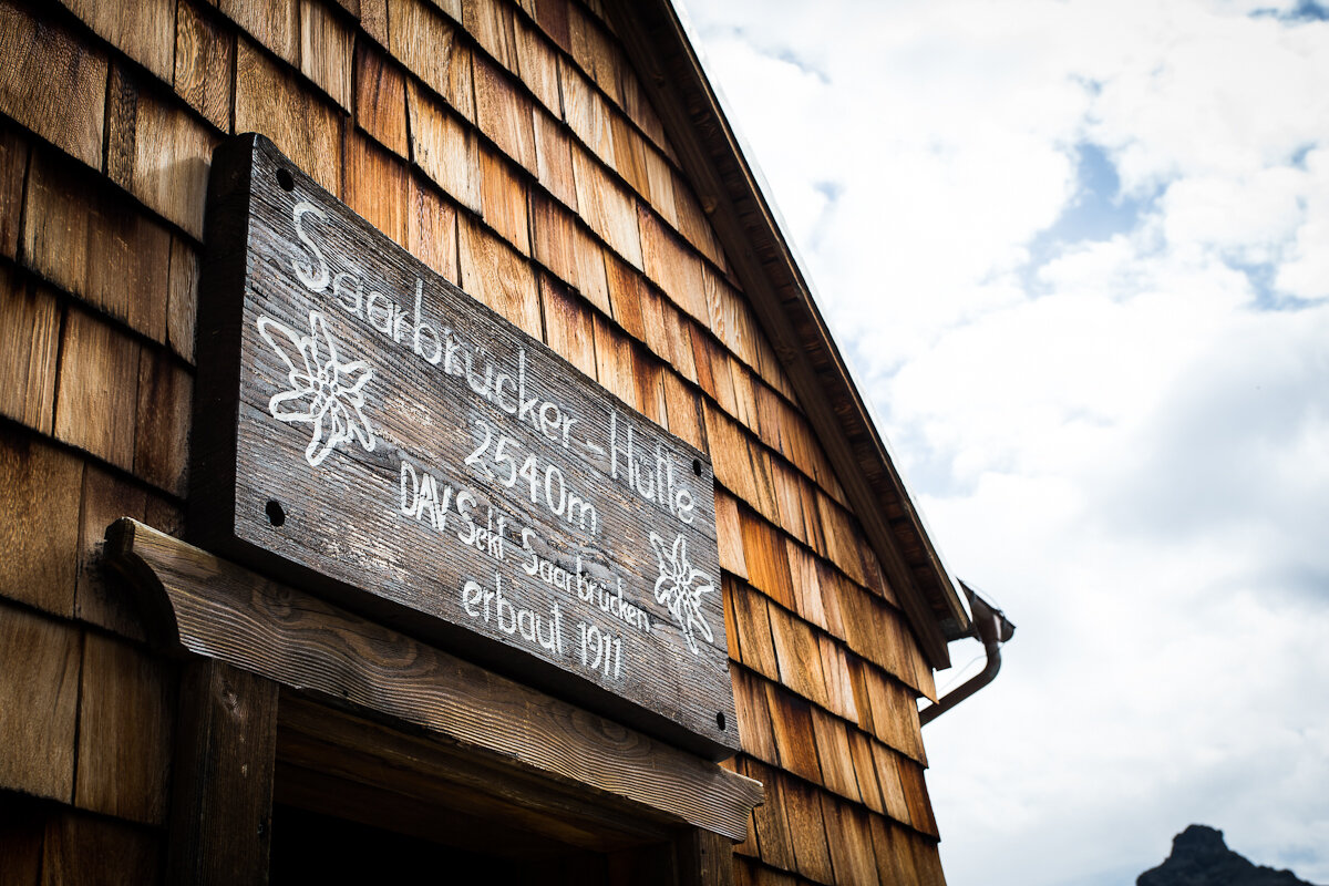
Saarbrücken Hut Hike

Difficult
blocked
Einkehrmöglichkeit
(E-)Mountainbiken · Refreshment stops · St. Gallenkirch
05:30 h duration
53,0 km Length
2540 m Highest point
818 m Lowest point
1740 m Ascent
1580 m Descent
Condition
Technique
Difficulty
Result
Landscape

Tour description

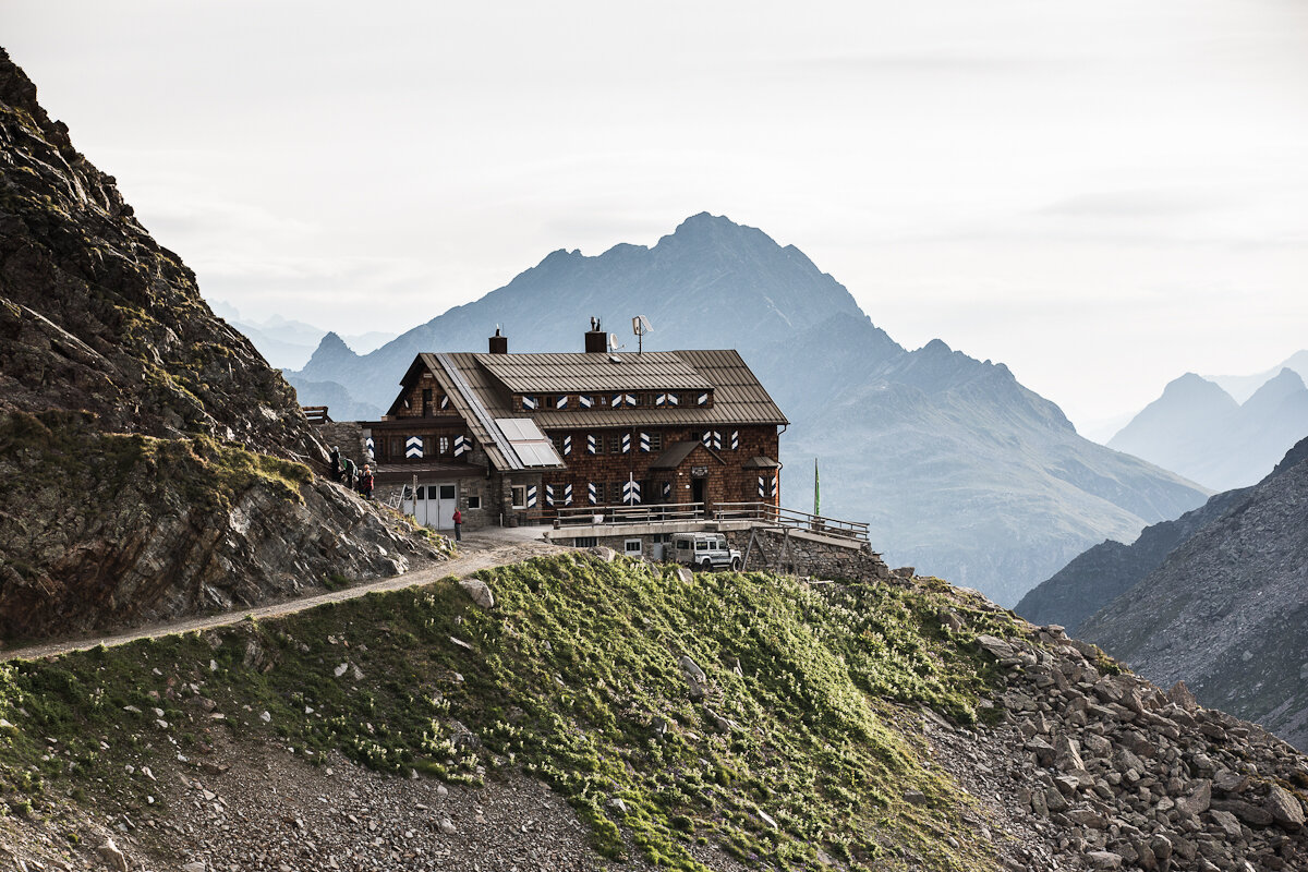
Enjoy the panoramic view of the Silvretta Massif from the valley’s highest mountain hut!

IMPORTANT NOTICE:

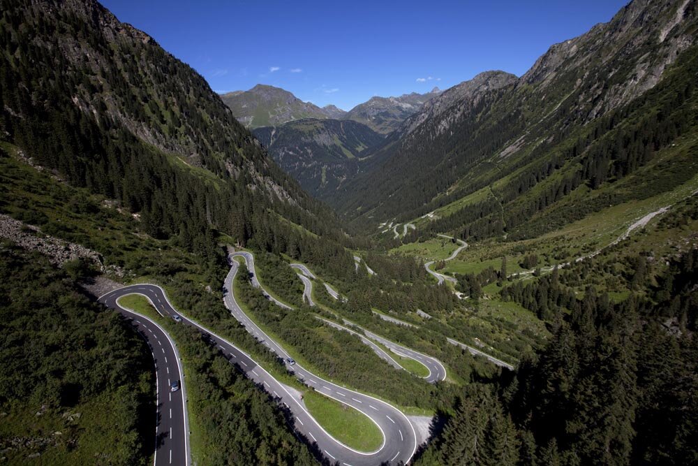
The Silvretta High Alpine Road is expected to remain closed until summer 2030. This is due to several rockfalls and mudslides since 2024, as well as the extensive construction and protective measures required as a result. Therefore, this tour is currently only possible via the Ganifertal valley. You can find a detailed description of the tour HERE.

Characteristics
Tour type (E-)Mountainbiken, Refreshment stops
Difficulty Difficult
Start Silvretta Park
Finish Silvretta Park
Elevation profile
Best time of year
Jan
Feb
Mär
Apr
Mai
Jun
Jul
Aug
Sep
Okt
Nov
Dez