Silvretta 3​-​Lakes Route

Difficult
closed
Einkehrmöglichkeit
Rundtour
(E-)Mountainbiken · Refreshment stops · Round trip
05:00 h duration
57,6 km Length
2037 m Highest point
816 m Lowest point
1415 m Ascent
1415 m Descent
Condition
Technique
Difficulty
Result
Landscape

Tour description

Silvretta Park Montafon (valisera railway valley station) - rifabecken - partenen - ganifer - kopssee - wirl/galtür - paznauntal - silvretta-bielerhöhe - silvretta high alpine road - partenen - silvretta park montafon (valisera railway valley station)

Important note: Due to landslides and new geological findings, the Silvretta High Alpine Road cannot open in the 2025 season. It is therefore also closed for bikes. The indicated route is possible up to the Vermunt reservoir, but then you must turn back. Unfortunately, bikes cannot be taken on the Vermuntbahn.

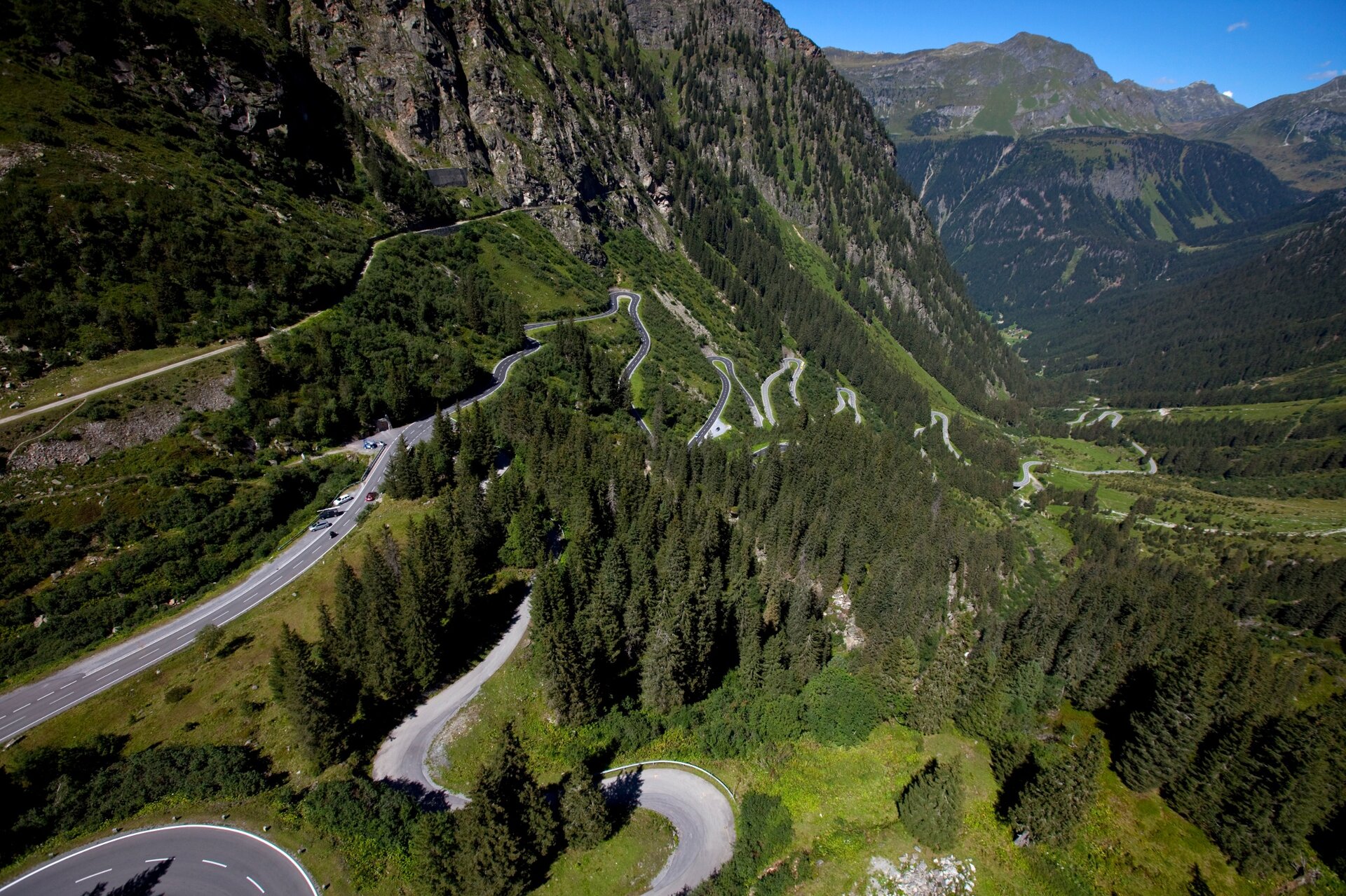
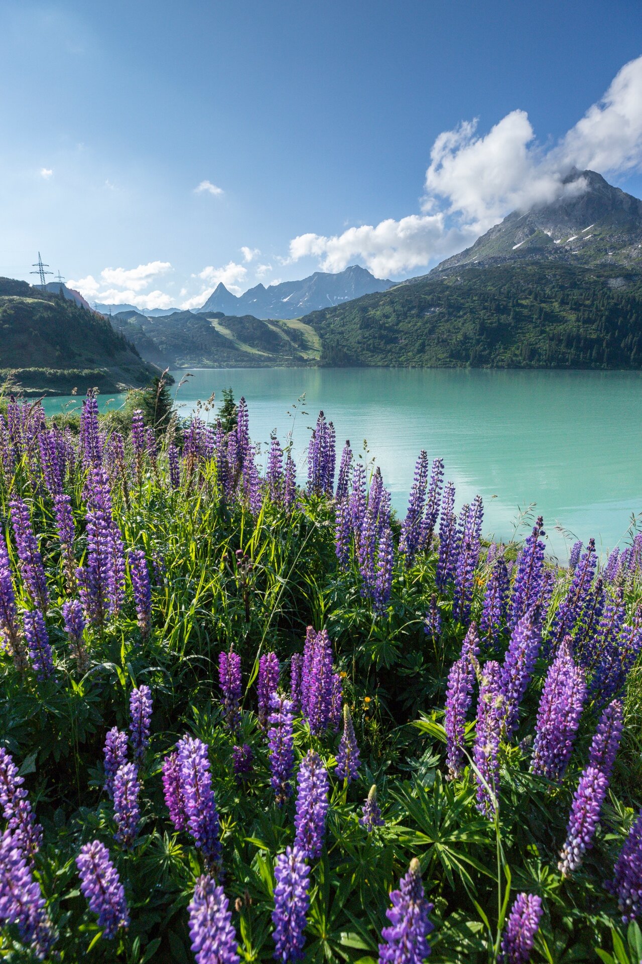
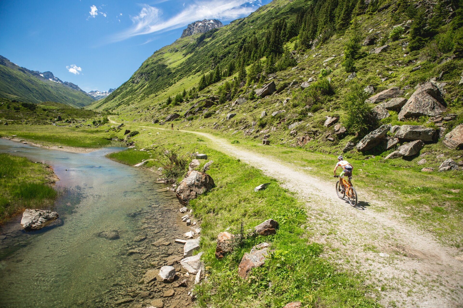
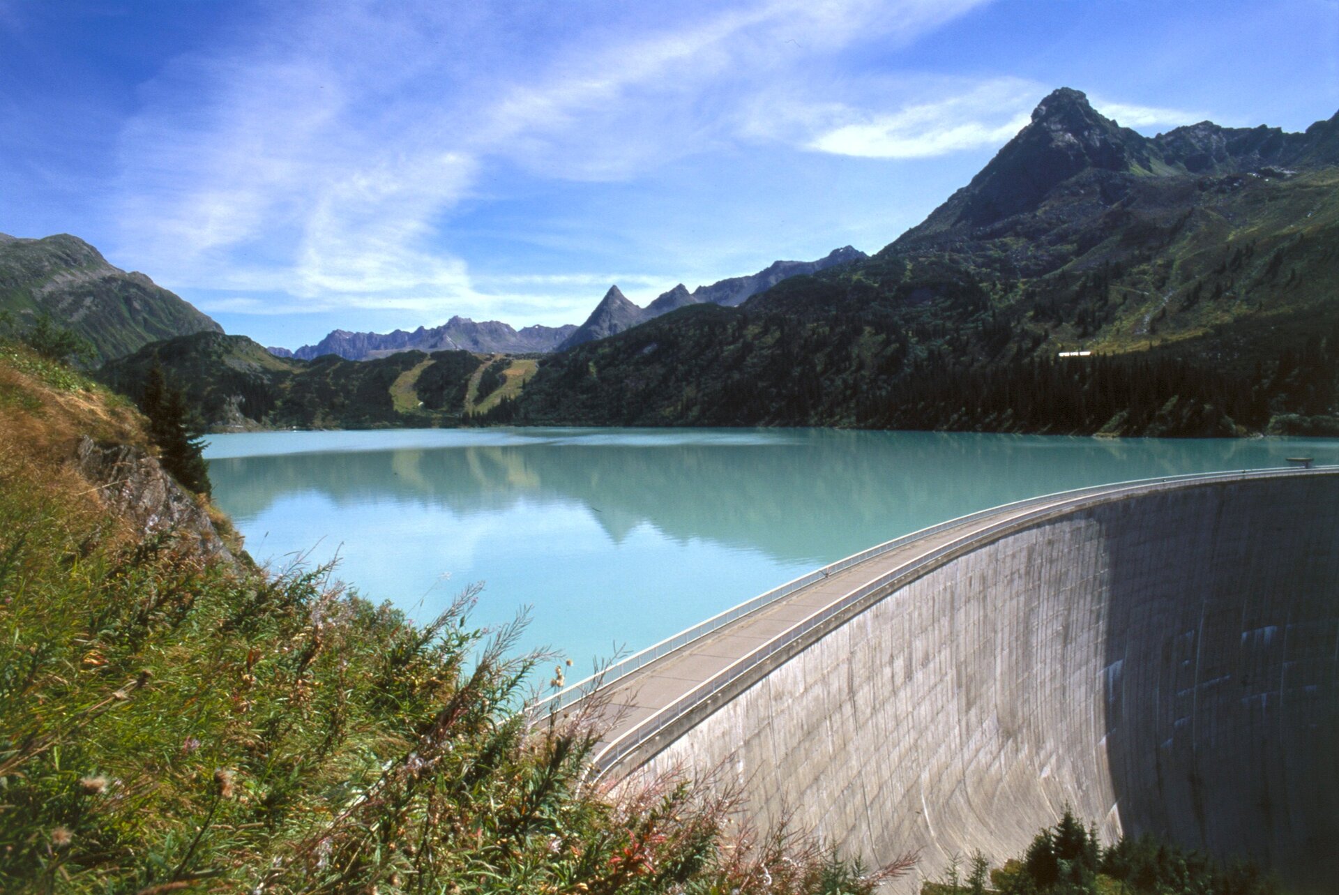
From the Silvretta Park (Valisera railway valley station) the route gently climbs to Partenen. After the toll station, you ride on an asphalt road through the romantically wild Ganifer valley (no car traffic) to Kopssee. This section also includes steep passages. At Kopssee, the reservoir with its curved dam demonstrates an impressive connection between nature and technology. At Zeinisjoch height you cross the state border, and a rapid descent on the left side of the Zeinisbach begins into Paznauntal in the neighboring state of Tyrol. From Wirl/Galtür the route leads up the Silvretta High Alpine Road to Silvretta Lake at over 2,000 m. Afterward, the descent begins via the toll road with 32 hairpin bends back to Partenen.

Sicherheitstipps für Mountainbike in Vorarlberg

NOTRUF:

140 Alpine Notfälle österreichweit 

144 Alpine Notfälle Vorarlberg 

112 Euro-Notruf (funktioniert mit jedem Handy/Netz) 

Characteristics
Tour type (E-)Mountainbiken, Refreshment stops, Round trip
Difficulty Difficult
Elevation profile
Best time of year
Jan
Feb
Mär
Apr
Mai
Jun
Jul
Aug
Sep
Okt
Nov
Dez