Silvretta Hut Route "Medium"
Long-distance hiking trail
· Hiking
· Refreshment stops
11:30 h
duration
32,9 km
Length
2658 m
Highest point
1757 m
Lowest point
1641 m
Ascent
1641 m
Descent


Tour description
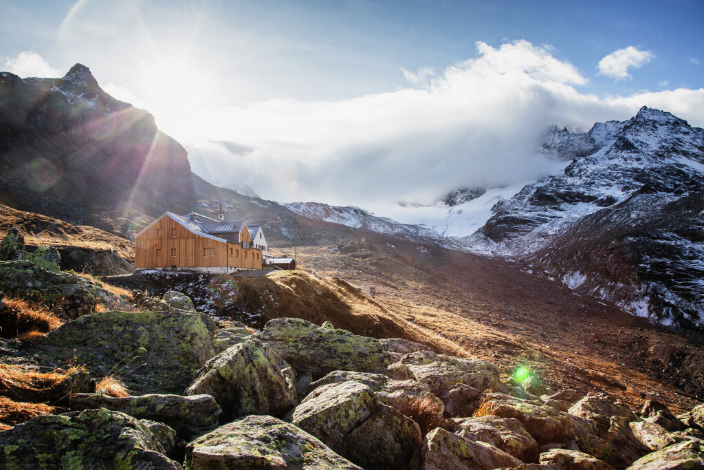
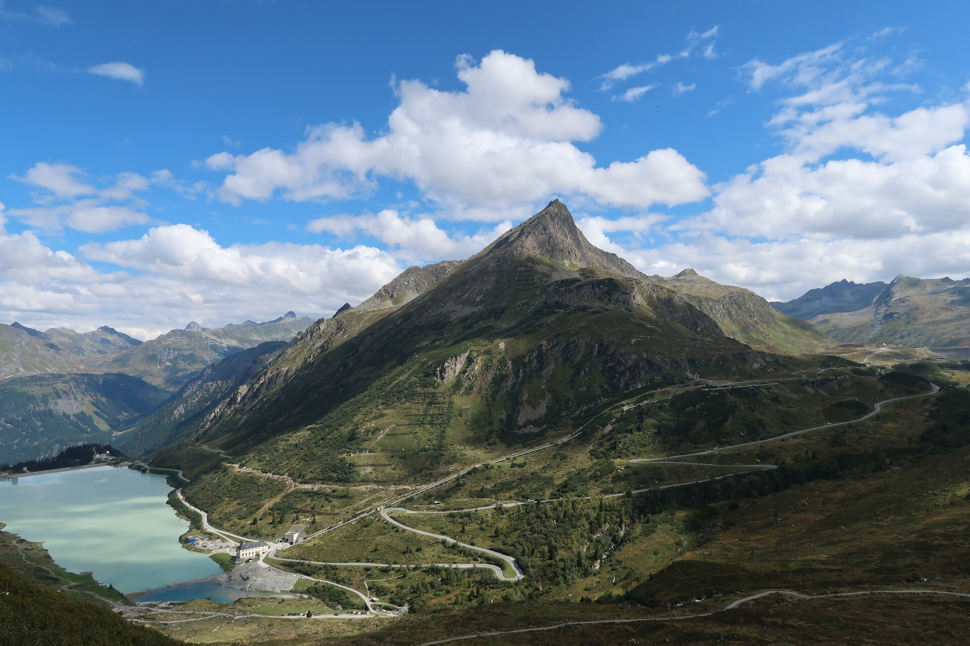
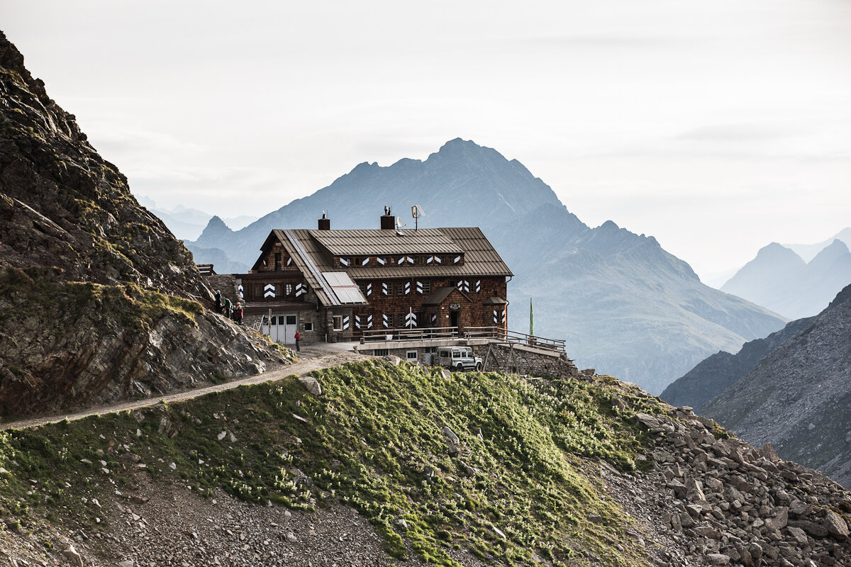
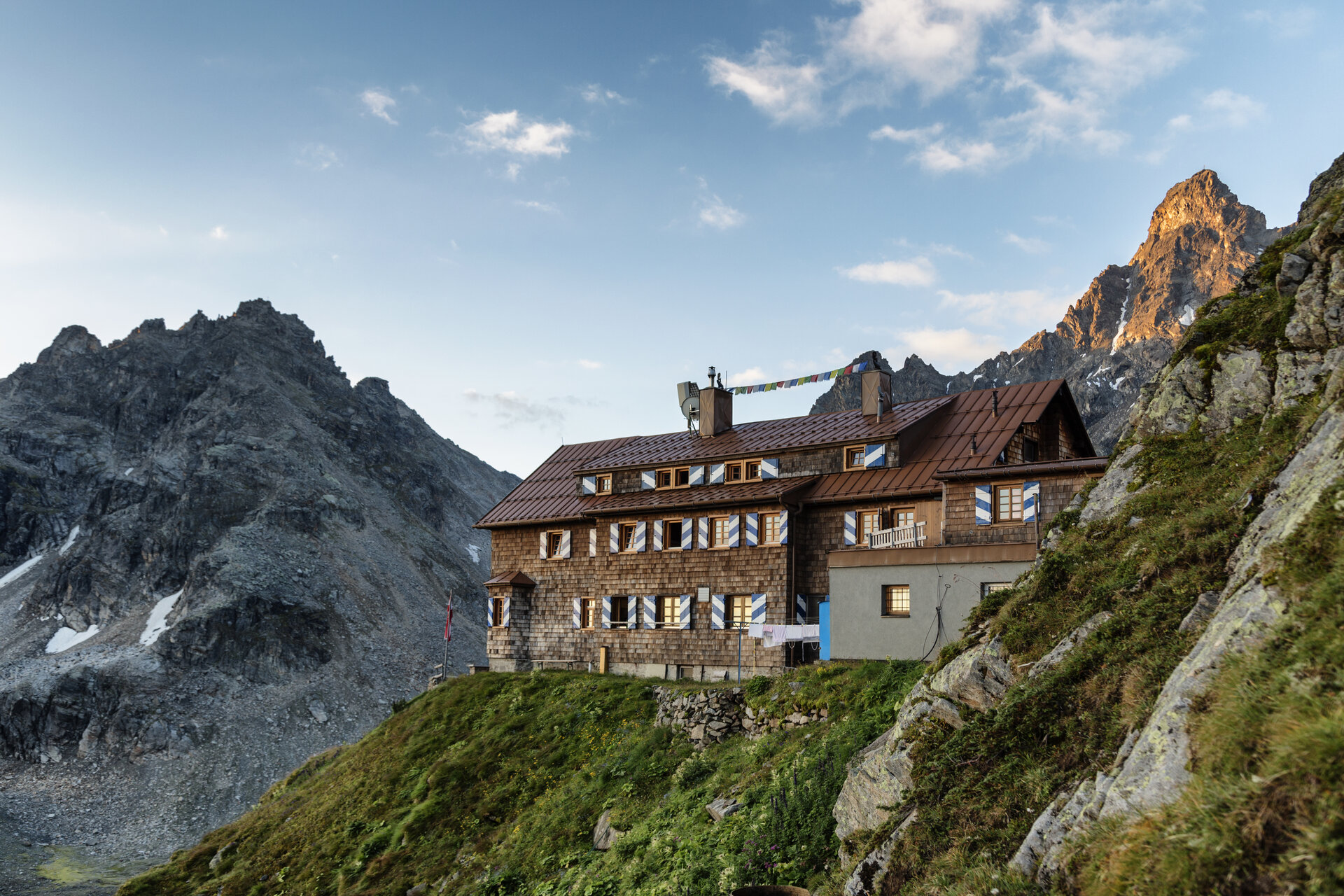
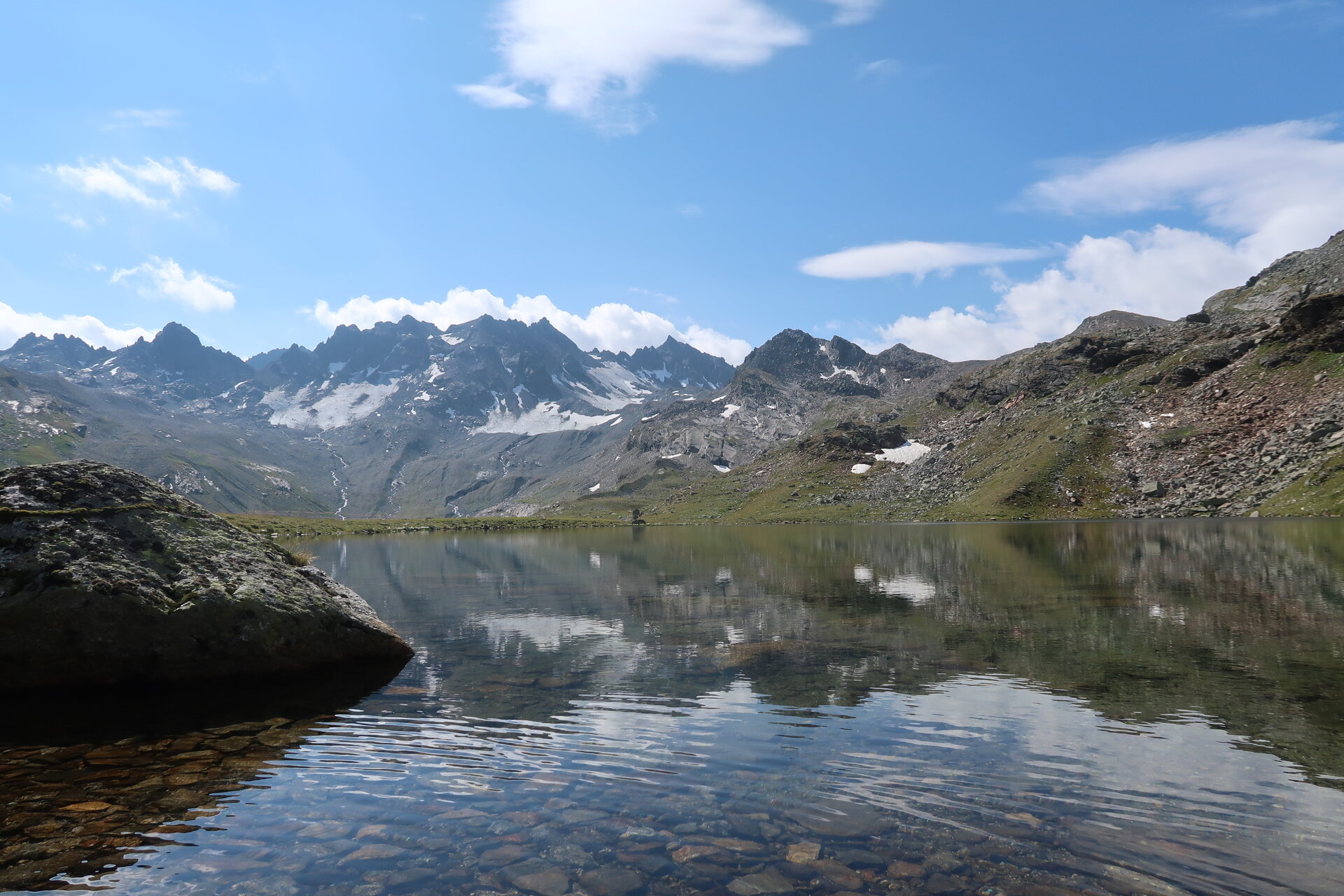
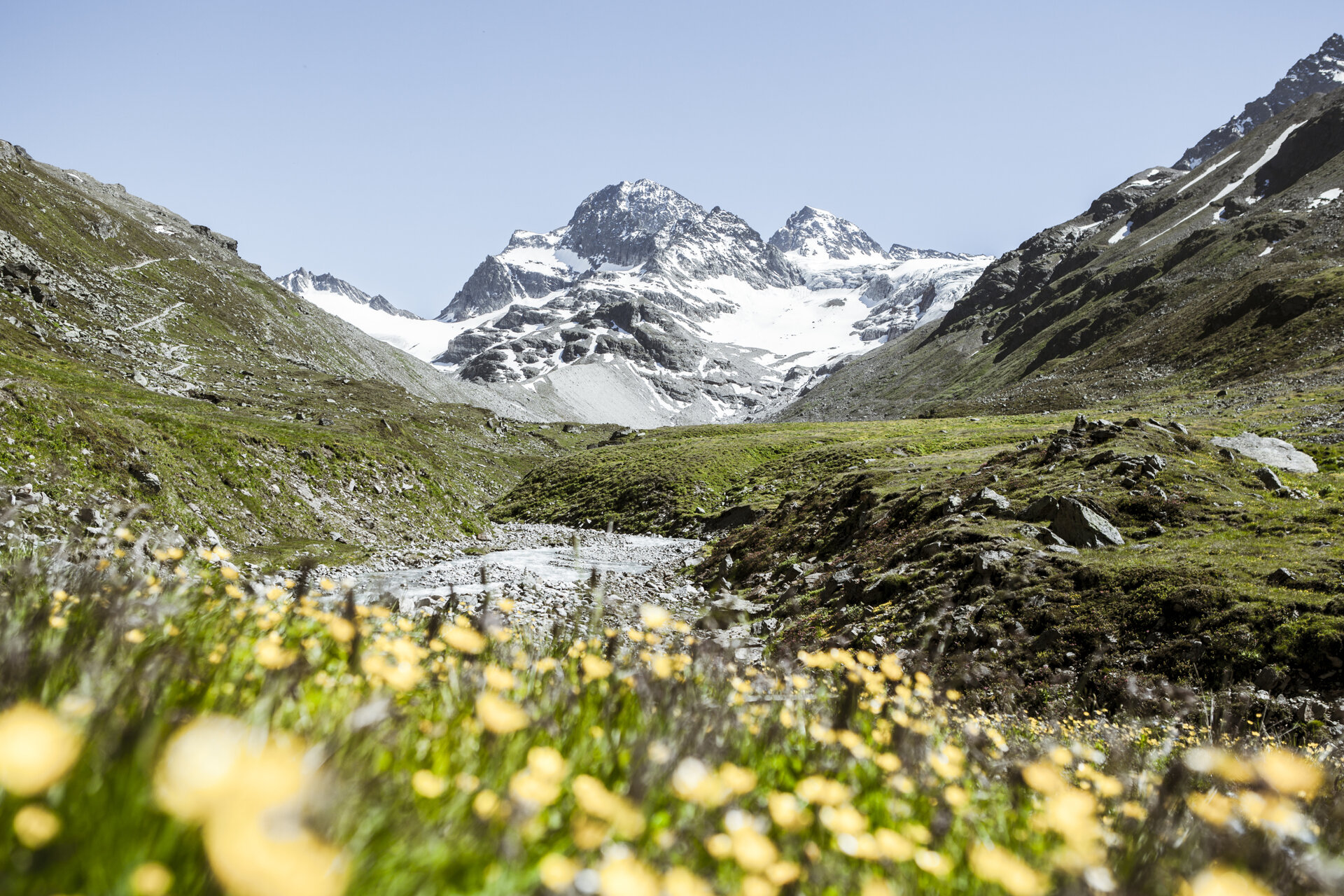
An impressive hut route in the majestic Silvretta in Montafon.
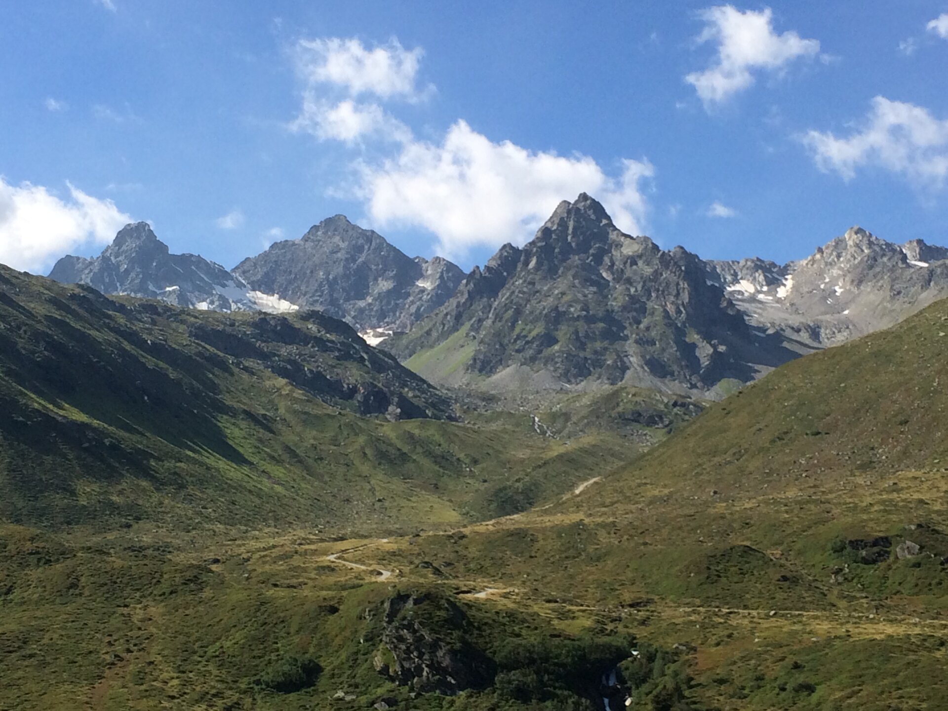
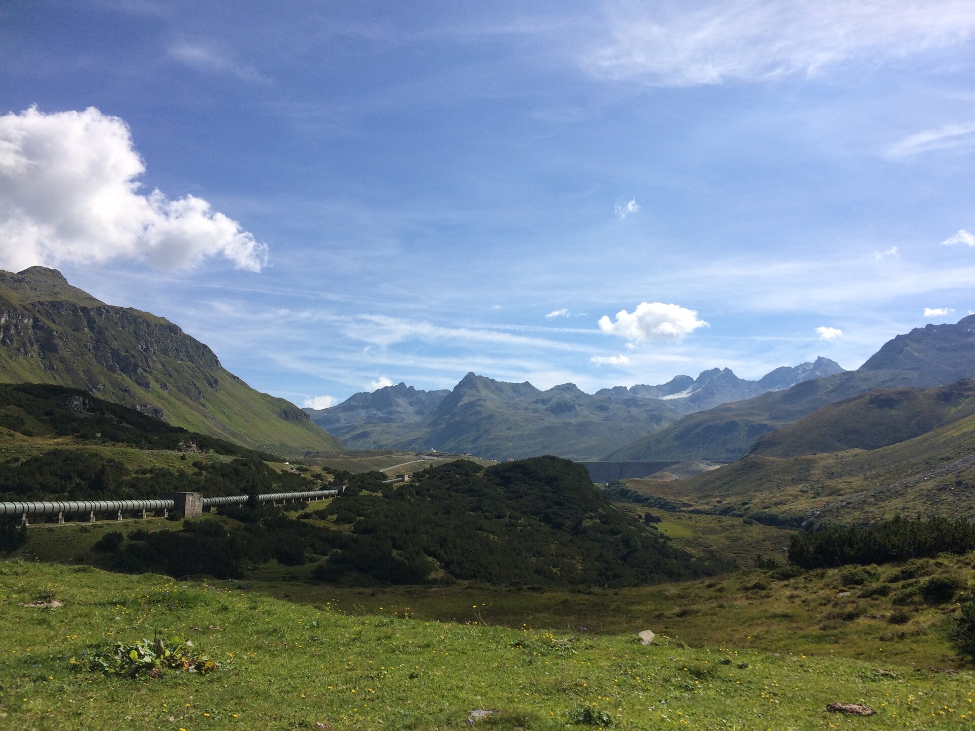
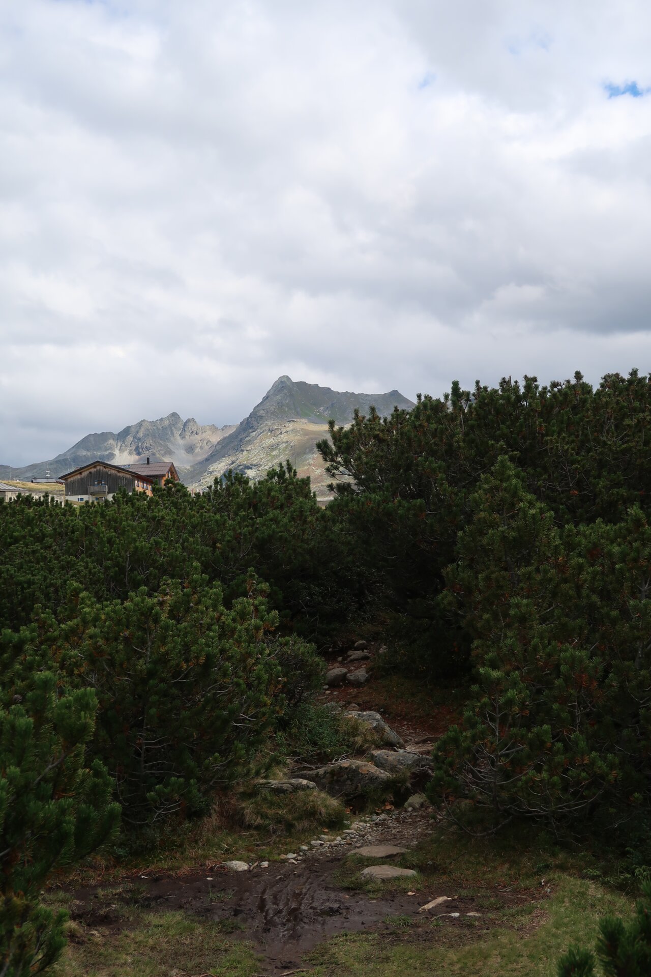
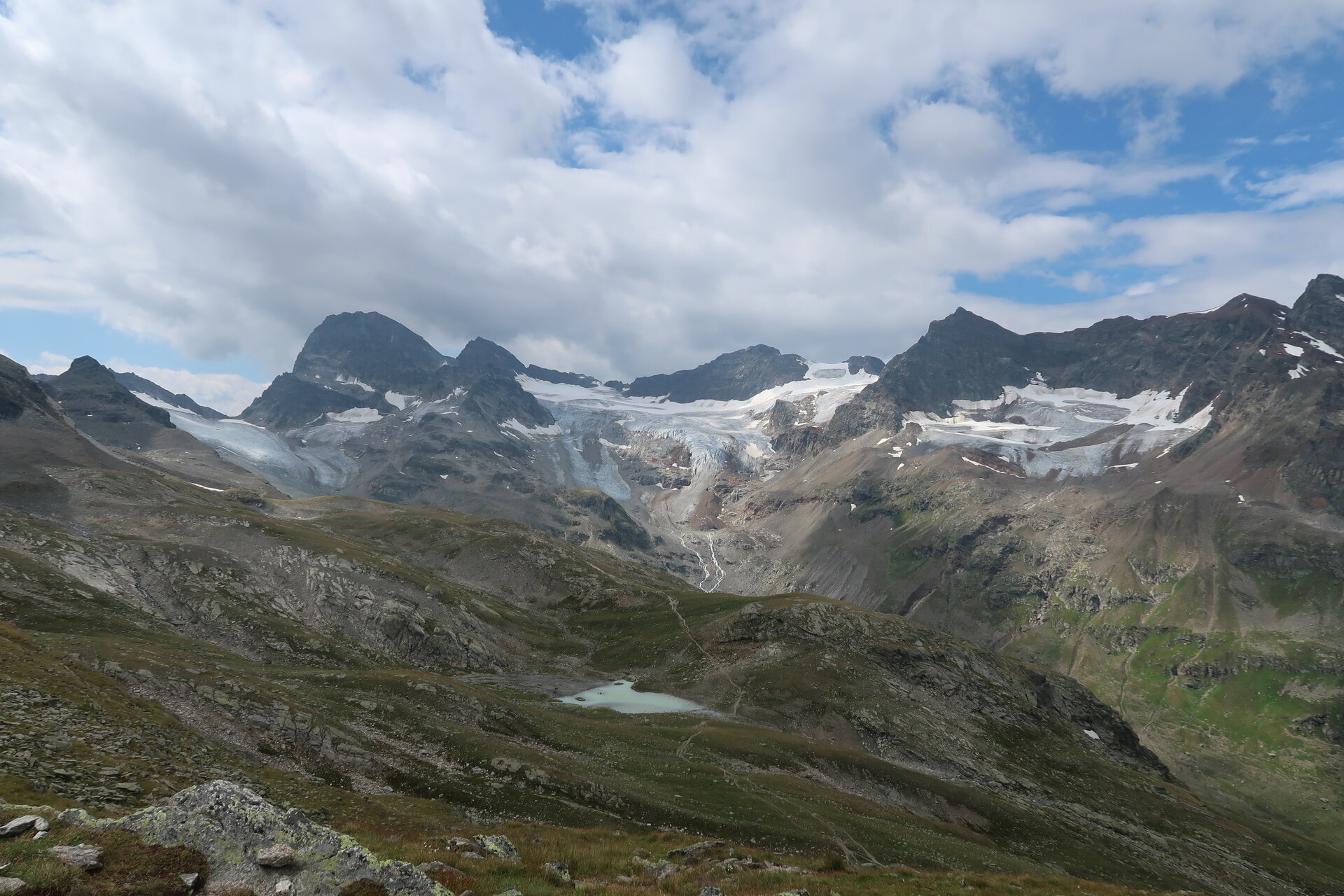
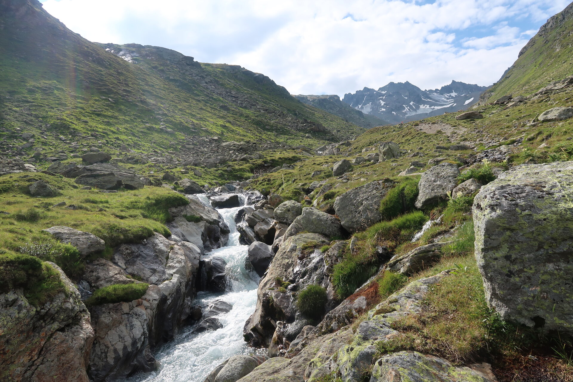
A route for mountain enthusiasts who appreciate the natural beauty of the mountains as well as well-maintained, regional cuisine. The hiking trails lead through the Silvretta past glaciers and the highest mountains of Vorarlberg. The impressive high alpine character of the Silvretta is palpable and experienceable on every step and shapes this stage hike.
Sicherheitstipps für Wandern in Vorarlberg
EN NOTRUF:
EN 140 - Alpine Notfälle österreichweit
EN 144 - Alpine Notfälle Vorarlberg
EN 112 - Euro-Notruf (funktioniert mit jedem Handy/Netz)
Characteristics
Tour type
Long-distance hiking trail, Hiking, Refreshment stops
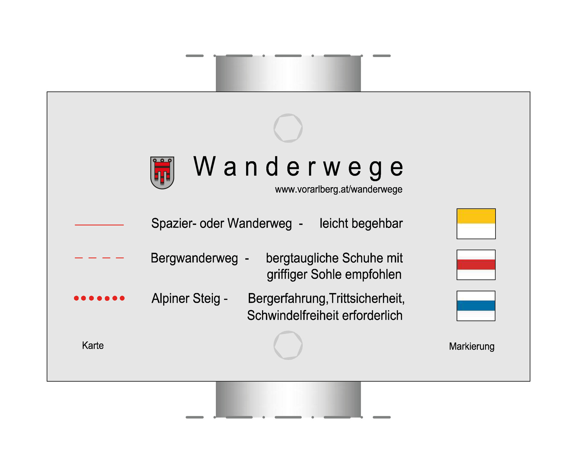
Difficulty
Moderate
Start
Vermuntsee
Finish
Vermuntsee
Elevation profile
Best time of year
Jan
Feb
Mär
Apr
Mai
Jun
Jul
Aug
Sep
Okt
Nov
Dez