Tour description
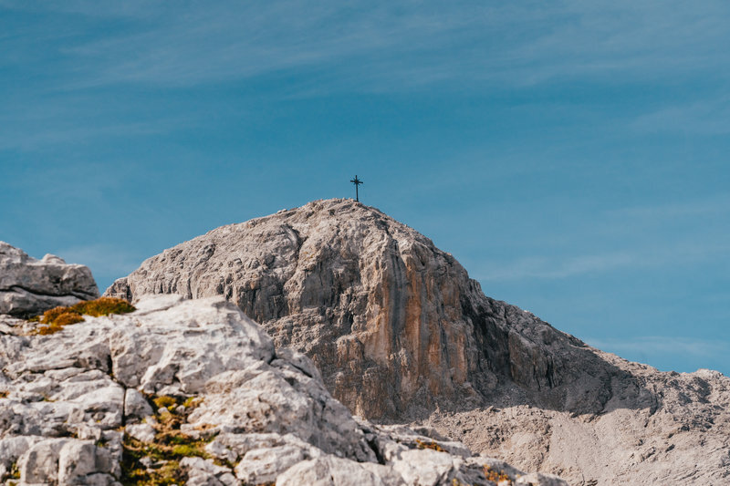
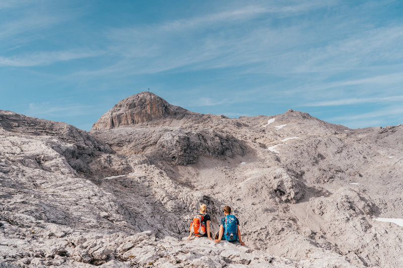
Experience an unforgettable hike from the idyllic Tilisunalpe to the majestic summit of the Sulzfluh and enjoy breathtaking panoramic views.
You can comfortably cover the route to Tilisunalpe by bike. From here, proceed on foot up to the Sulzfluh.
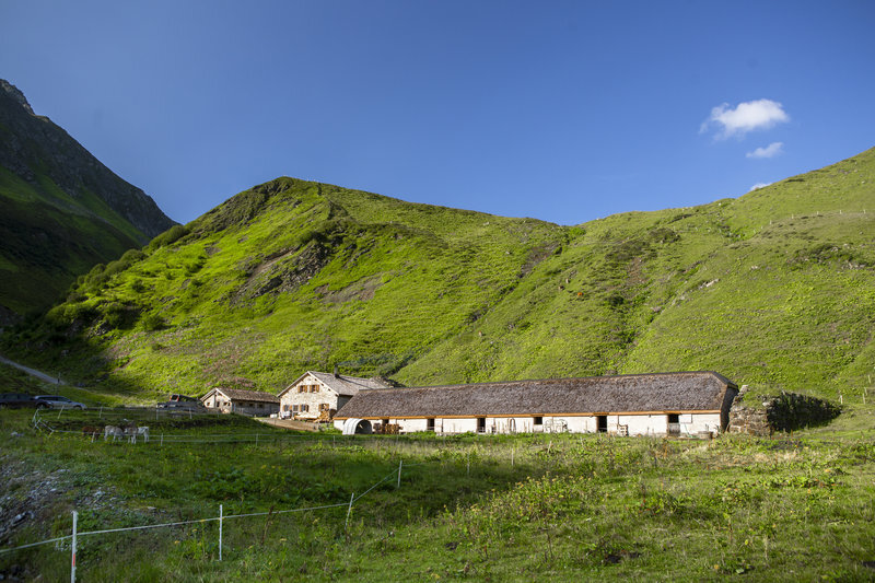
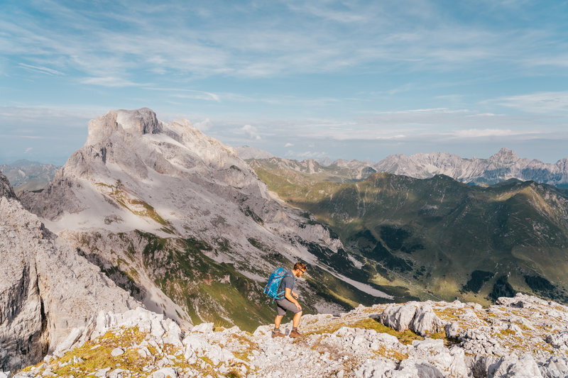
Start your hike at the picturesque Tilisunalpe and follow the well-marked trail through lush alpine meadows and rugged rocky landscapes. The ascent to the Sulzfluh, one of the most impressive summits in the Montafon, offers a varied and exciting route. Once at the top, you will be rewarded with an unparalleled 360-degree view over the Alps. This route is perfect for those who appreciate both nature experiences and athletic challenges.
To park your bike securely, there is a Bike and Hike stand available at the alpine pasture.
Important note: from 16.09. to 15.10. there is a driving ban in the entire Gampadelstal valley.