From Tafamunt to Wiegensee and over Schrofen ​(​Außerganifer​)​ to Partenen

Difficult
Bergbahnauf-/-abstieg
Hiking · Bergbahnauf-/-abstieg
03:30 h duration
7,69 km Length
1933 m Highest point
1033 m Lowest point
420 m Ascent
923 m Descent
Condition
Difficulty
Result
Landscape

Tour description

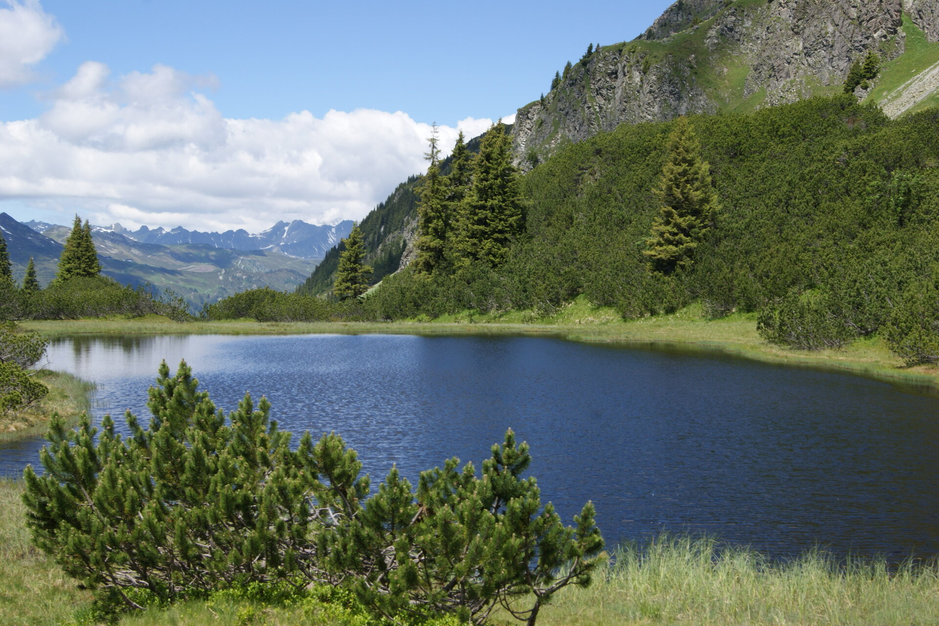
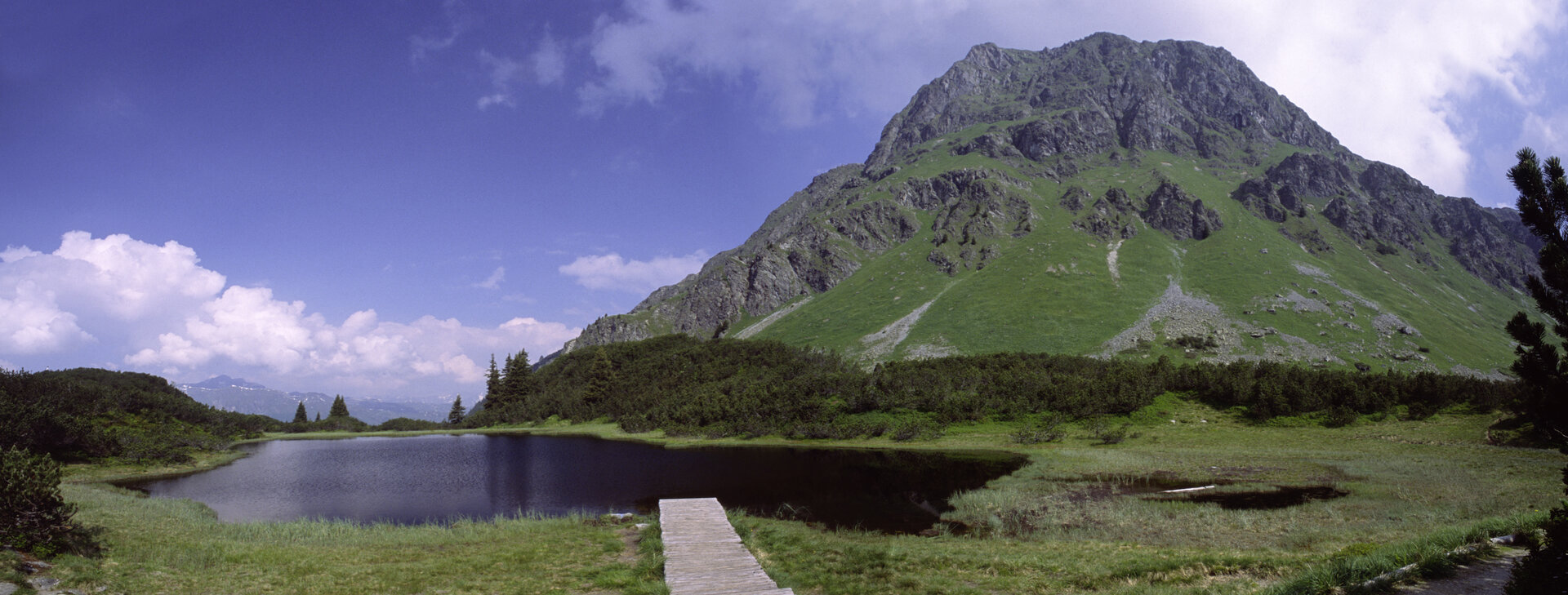
Tafamuntbahn mountain station - Lower Wiege - Wiegensee - Schrofen (Außerganifer) - Frons - Partenen The descent via Schrofen requires a sure head and sure footing. It goes steeply downhill to Außerganifer.

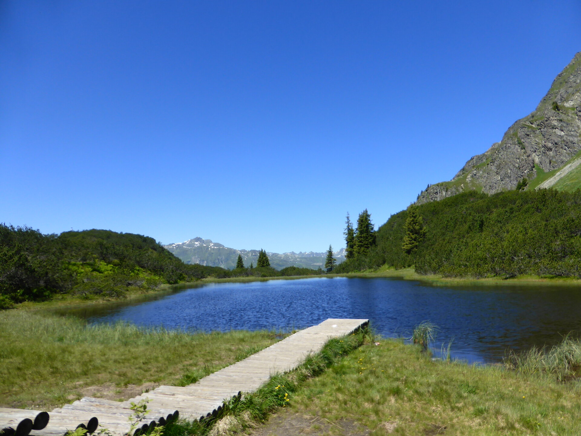
Here you can also find a short video about Wiegensee:
https://www.youtube.com/watch?v=n7NUtvW9pLg&feature=youtu.be

Sicherheitstipps für Wandern in Vorarlberg

EN NOTRUF:

EN 140 - Alpine Notfälle österreichweit 

EN 144 - Alpine Notfälle Vorarlberg 

EN 112 - Euro-Notruf (funktioniert mit jedem Handy/Netz) 

Characteristics
Tour type Hiking, Bergbahnauf-/-abstieg
Difficulty Difficult
Elevation profile
Best time of year
Jan
Feb
Mär
Apr
Mai
Jun
Jul
Aug
Sep
Okt
Nov
Dez