Wiegenseeweg

Moderate
Alpenmosaik - Verwall
Einkehrmöglichkeit
Rundtour
Bergbahnauf-/-abstieg
Themenweg · Hiking · Alpine mosaic – Verwall · Alpine mosaic · Bergbahnauf-/-abstieg · Refreshment stops · Round trip · Partenen
04:30 h duration
12,8 km Length
1939 m Highest point
1032 m Lowest point
459 m Ascent
962 m Descent
Condition
Technique
Difficulty
Result
Landscape

Tour description

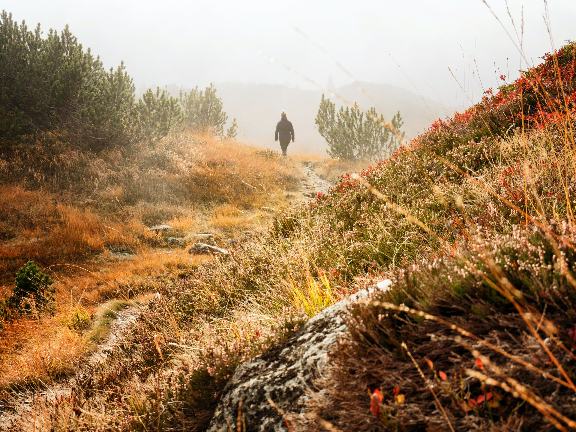
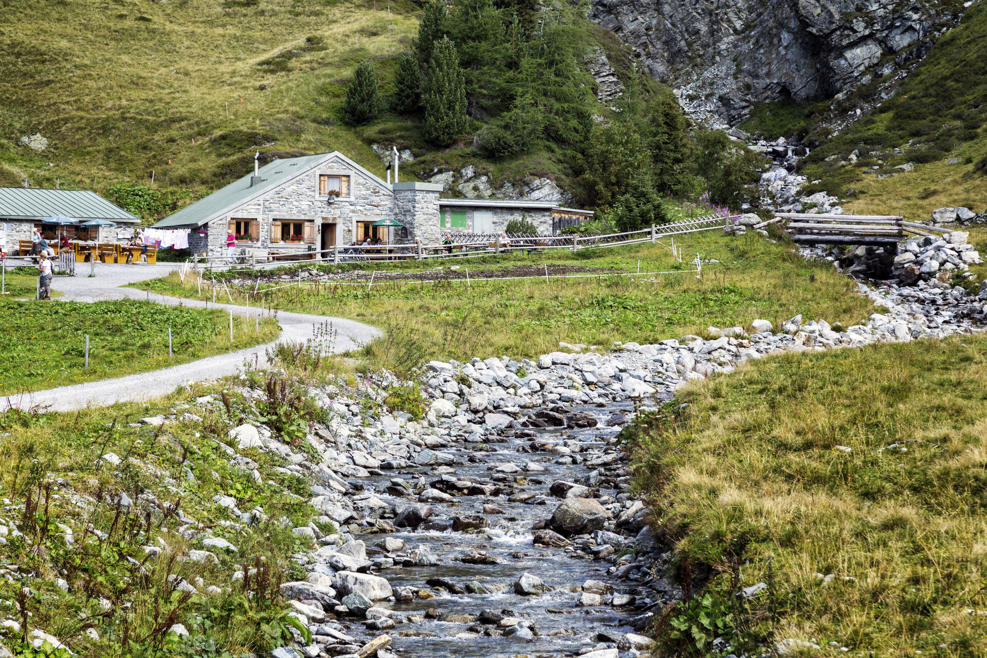
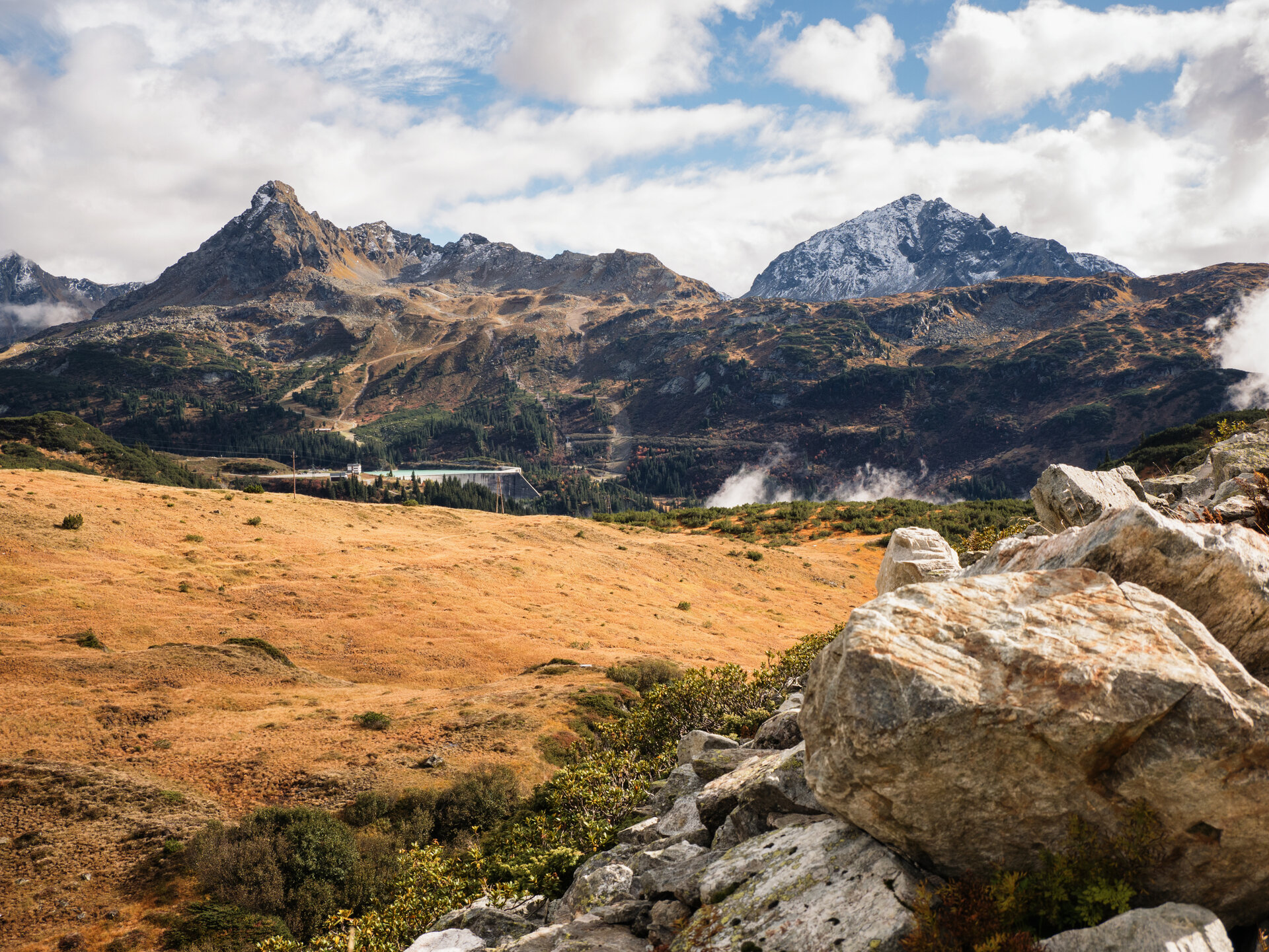
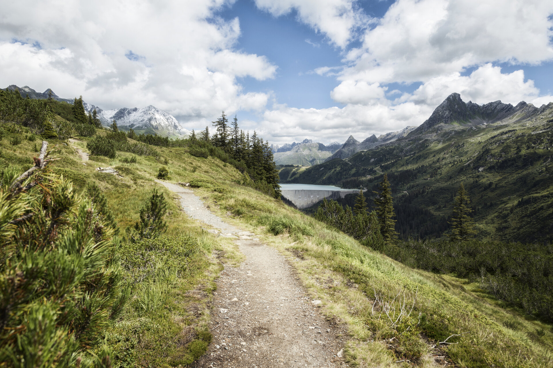
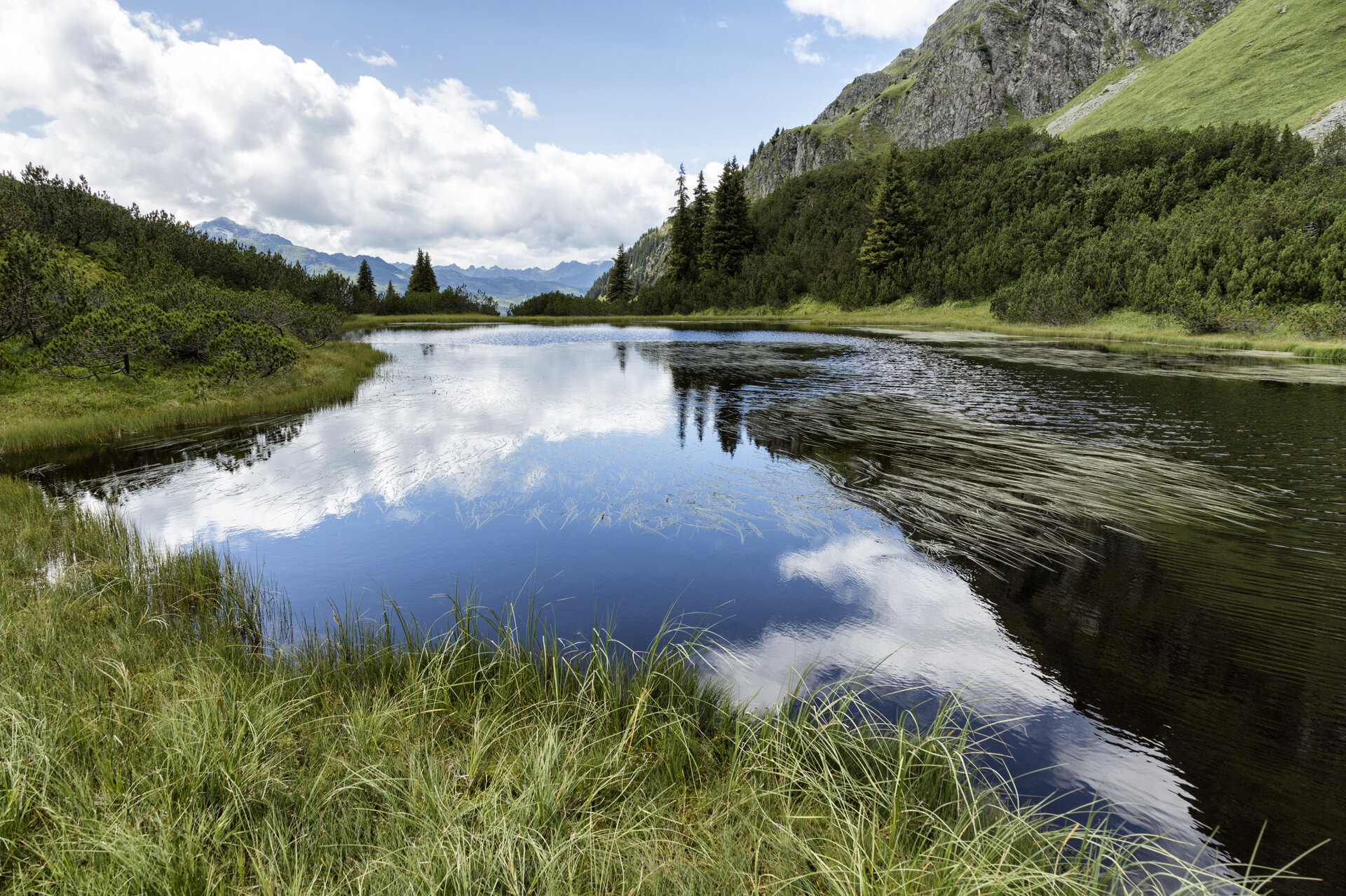
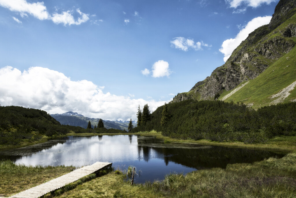
A varied hike through the protected high moor landscape surrounding Lake Wiegensee, featuring rare moorland formations and impressive views of the Silvretta peaks.

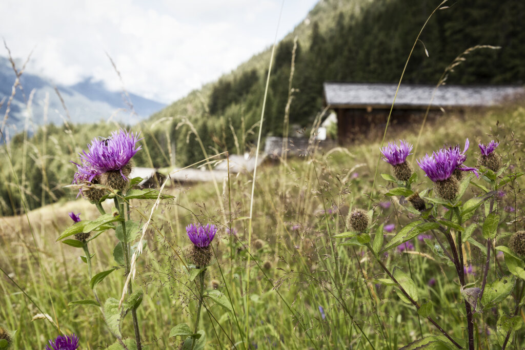
Lake Wiegensee is located in a protected raised bog landscape at the foot of the Versalspitze. High precipitation levels, the elevation above sea level, and water-retaining subsoil have given rise to a diverse array of moorland habitats here. Nestled among mountain pine moor forests rich in sphagnum moss lies one of Austria’s few blanket bogs—a type of moor that is extremely rare in Central Europe.

The heart of the area is Lake Wiegensee. It lies in a so-called “cradle” and is naturally dammed by delicate floating rushes. This vegetation cover grows from the shore out onto the water and can give way under pressure. This is precisely why this unique habitat is particularly worthy of protection.

Sicherheitstipps für Wandern in Vorarlberg

EN NOTRUF:

EN 140 - Alpine Notfälle österreichweit 

EN 144 - Alpine Notfälle Vorarlberg 

EN 112 - Euro-Notruf (funktioniert mit jedem Handy/Netz) 

Characteristics
Tour type Themenweg, Hiking, Alpine mosaic – Verwall, Alpine mosaic, Bergbahnauf-/-abstieg, Refreshment stops, Round trip
Difficulty Moderate
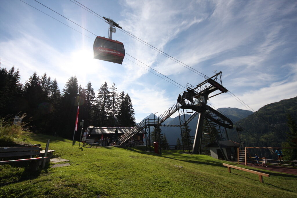
Start Alpstöbli Tafamunt
Finish Ortszentrum Partenen
Elevation profile
Best time of year
Jan
Feb
Mär
Apr
Mai
Jun
Jul
Aug
Sep
Okt
Nov
Dez