Vermunt Lake ​-​ Silvretta​-​Bielerhöhe

Moderate
Einkehrmöglichkeit
Hiking · Refreshment stops
02:00 h duration
5,60 km Length
2035 m Highest point
1753 m Lowest point
283 m Ascent
1 m Descent
Condition
Technique
Difficulty
Result
Landscape

Tour description

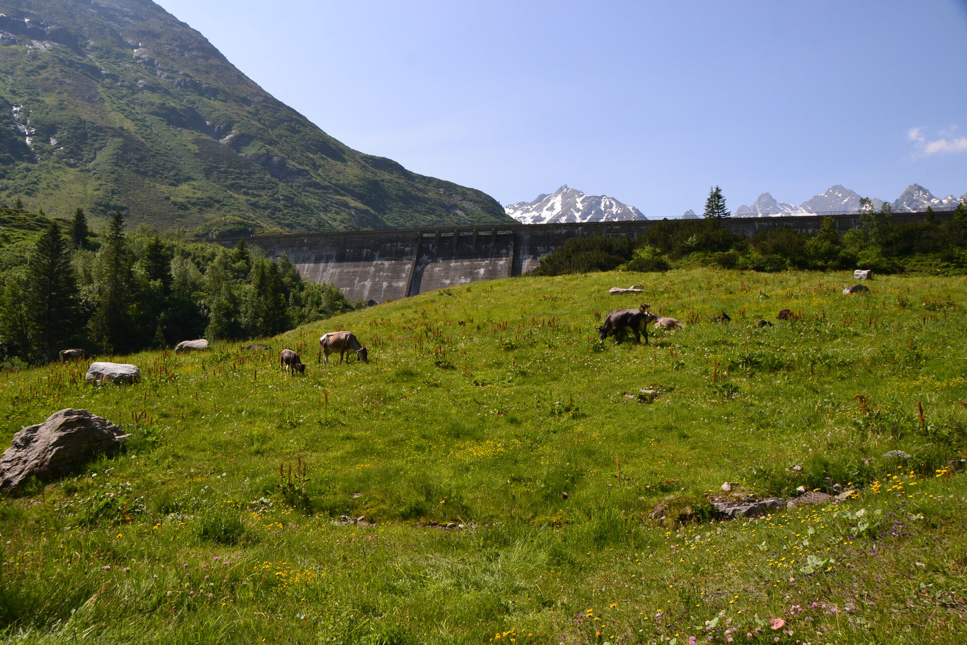
A scenic hike from Lake Vermunt through the high-alpine landscape of the Silvretta up to the Silvretta-Bielerhöhe at over 2,000 meters.

From Lake Vermunt, you’ll first hike toward Kromertal and the Saarbrücker Hut, then—after a short stretch of trail—follow a wide gravel path to the turnoff toward Silvretta-Bielerhöhe. After the steepest climb, a narrower hiking trail leads you through the impressive mountain landscape to the Madlenerhaus and from there on to Silvrettasee on the Silvretta-Bielerhöhe.
Sicherheitstipps für Wandern in Vorarlberg

EN NOTRUF:

EN 140 - Alpine Notfälle österreichweit 

EN 144 - Alpine Notfälle Vorarlberg 

EN 112 - Euro-Notruf (funktioniert mit jedem Handy/Netz) 

Characteristics
Tour type Hiking, Refreshment stops
Difficulty Moderate
Start Vermuntsee
Finish Bushaltestelle Silvrettasee
Elevation profile
Best time of year
Jan
Feb
Mär
Apr
Mai
Jun
Jul
Aug
Sep
Okt
Nov
Dez