Tour description
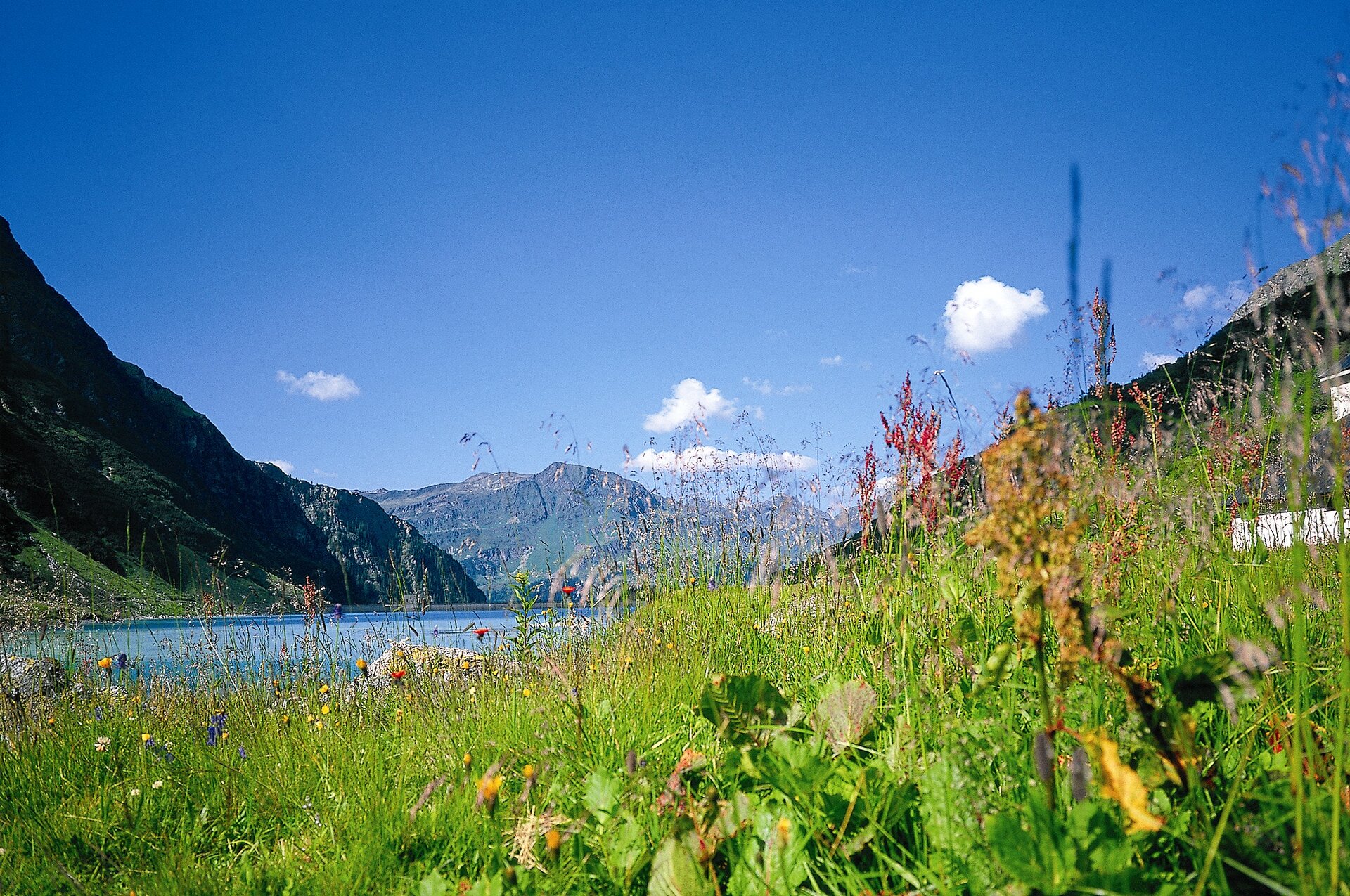
A challenging mountain hike from Lake Vermunt over the Hochmadererjoch to the Tübinger Hut, taking you through rocky high mountains and over rough boulder fields right into the heart of the Silvretta.
From Lake Vermunt, you’ll first hike toward the Kromertal valley before turning off at the junction for the Tübinger Hütte into the Maderer Täli valley and ascending to the Hochmadererjoch at 2,505 meters. From there, the alpine trail continues over rocky slopes and rough boulder fields to the Tübinger Hütte. Sure-footedness, a head for heights, and alpine experience are required for this tour, which is classified as difficult.