Tour description
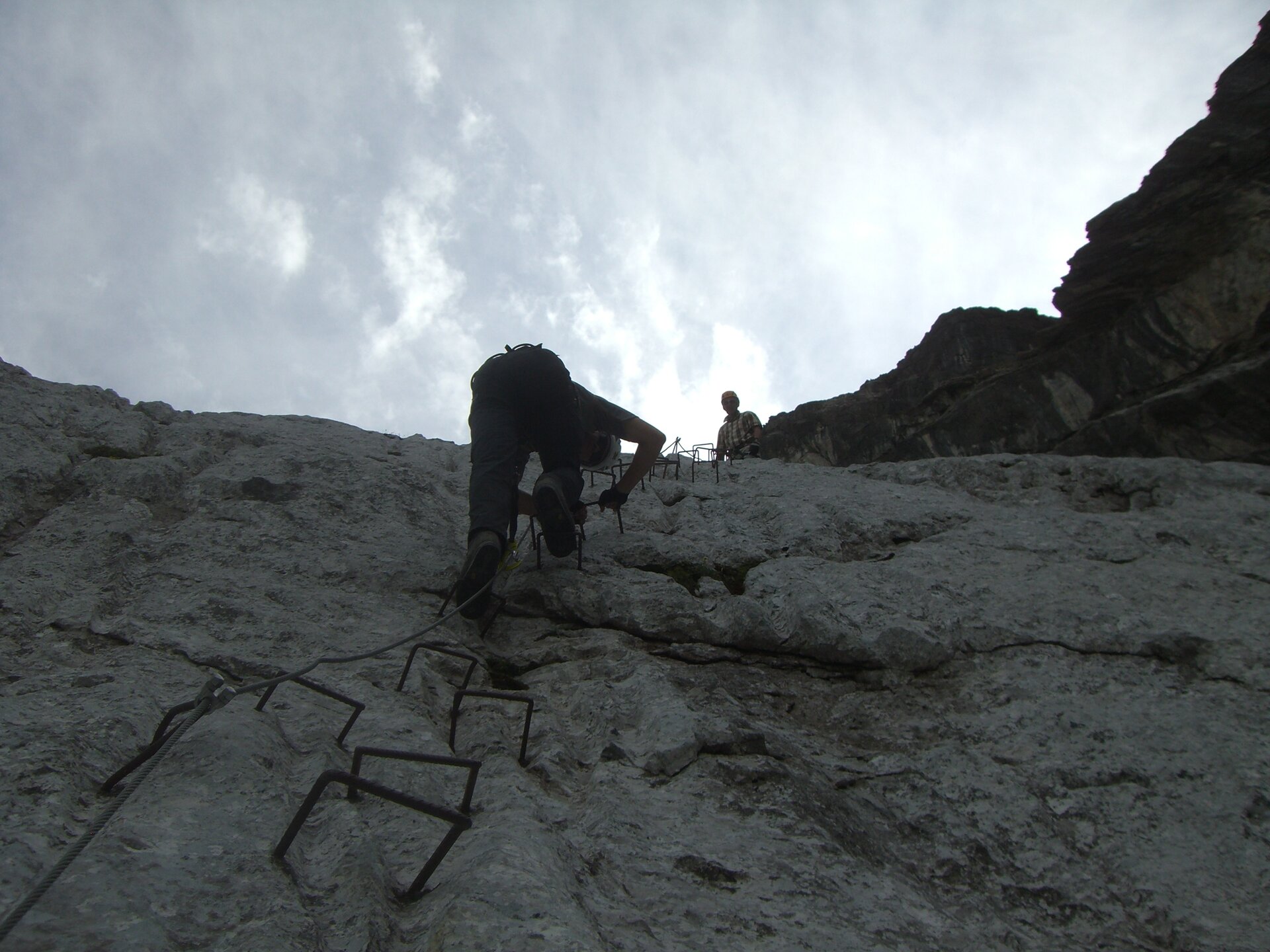
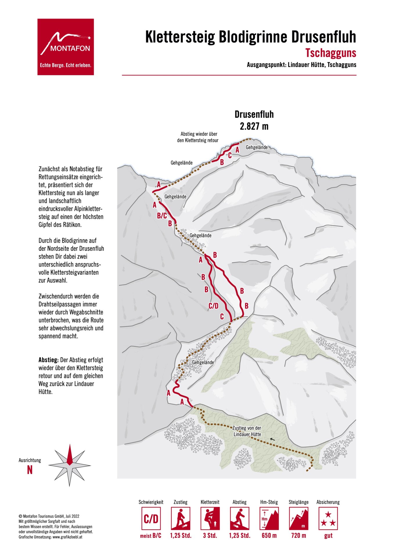
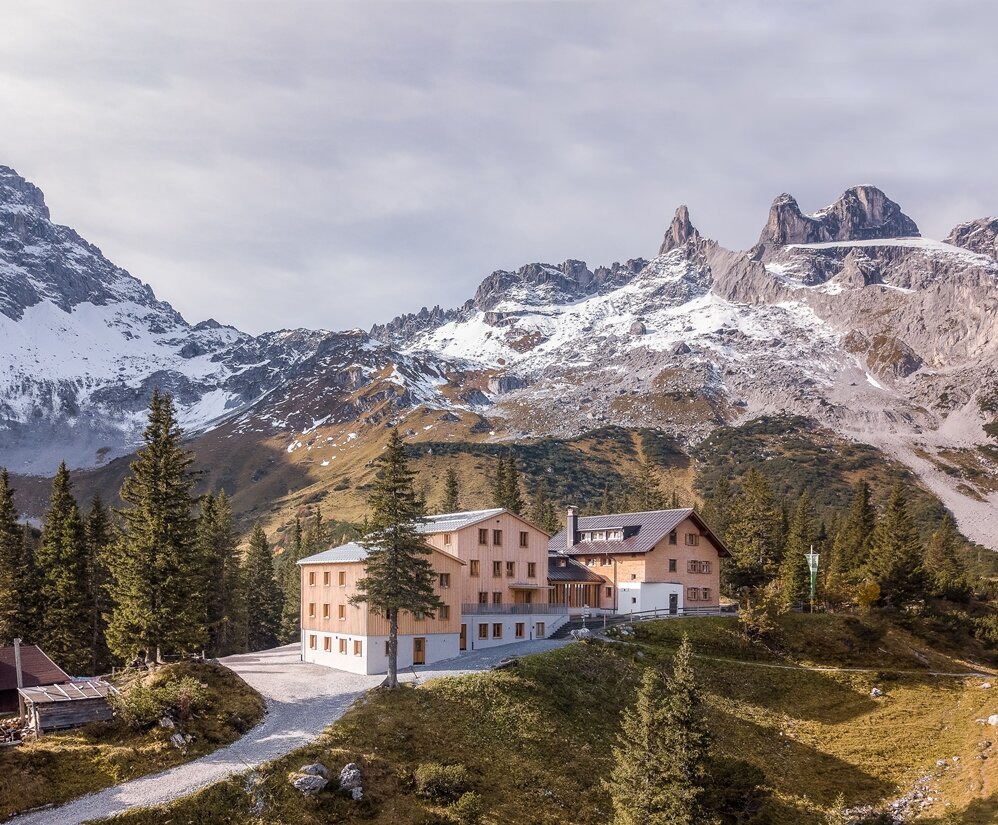
A long and scenically stunning alpine via ferrata through the Blodigrinne to one of the highest peaks in the Rätikon. Steep climbing sections, alpine trail segments, and two variants of varying difficulty make this tour particularly varied.
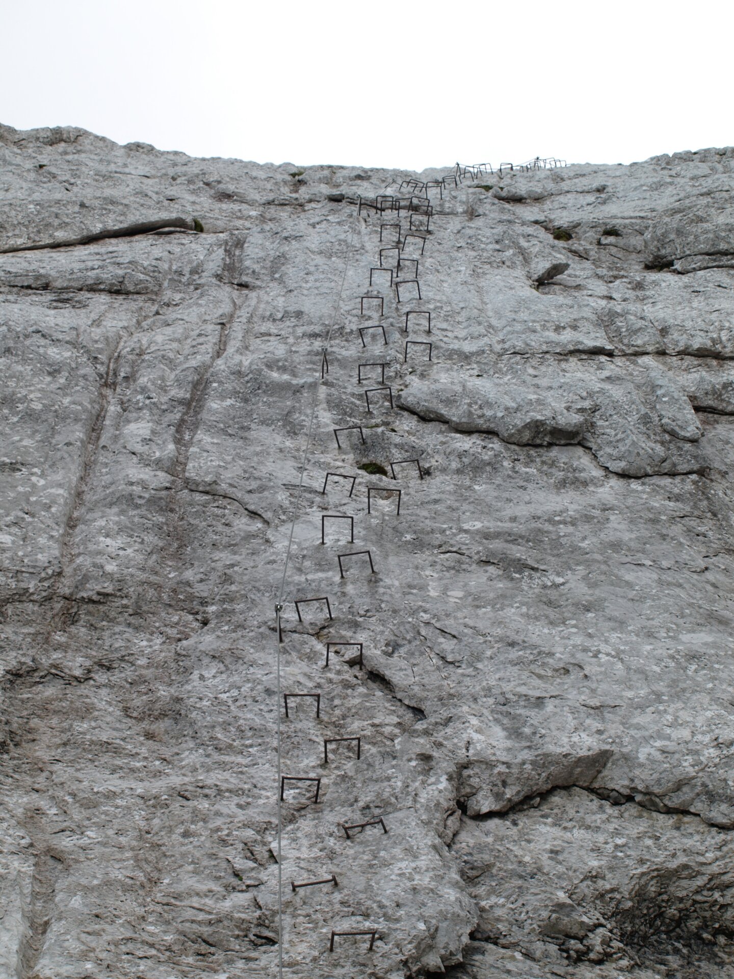
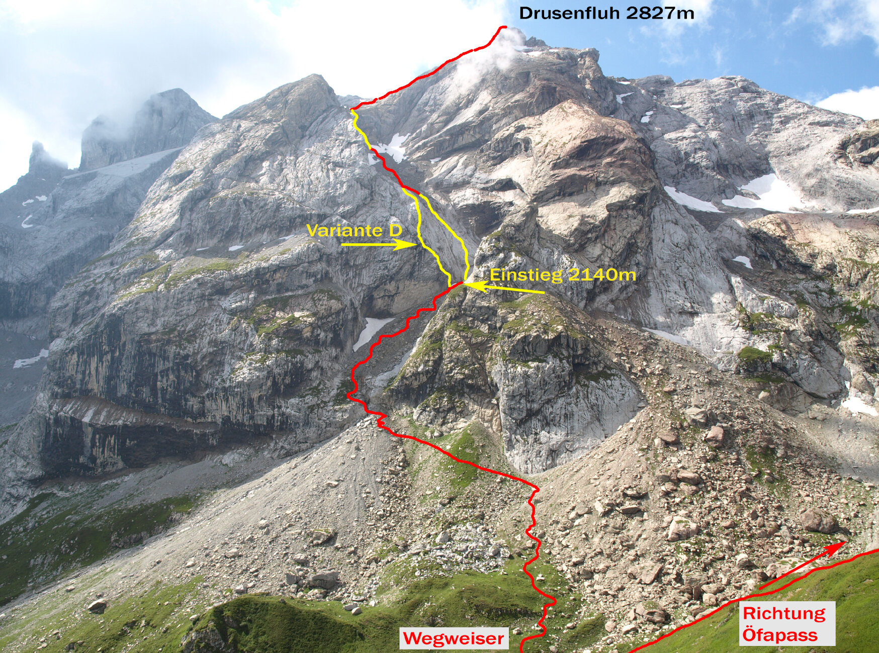
The Drusenfluh via ferrata leads through a striking gorge on the north face of the mountain. In the lower section, steep passages in the rugged Rätikon limestone await you, before the route continues from the Blodigsattel along an alpine trail to the summit.
A more challenging approach route reaches difficulty level D. Just below the summit, you’ll also need to climb about 40 meters at difficulty level II without steel cable protection. Alpine experience, sure-footedness, and excellent physical conditioning are therefore essential.