Tour description
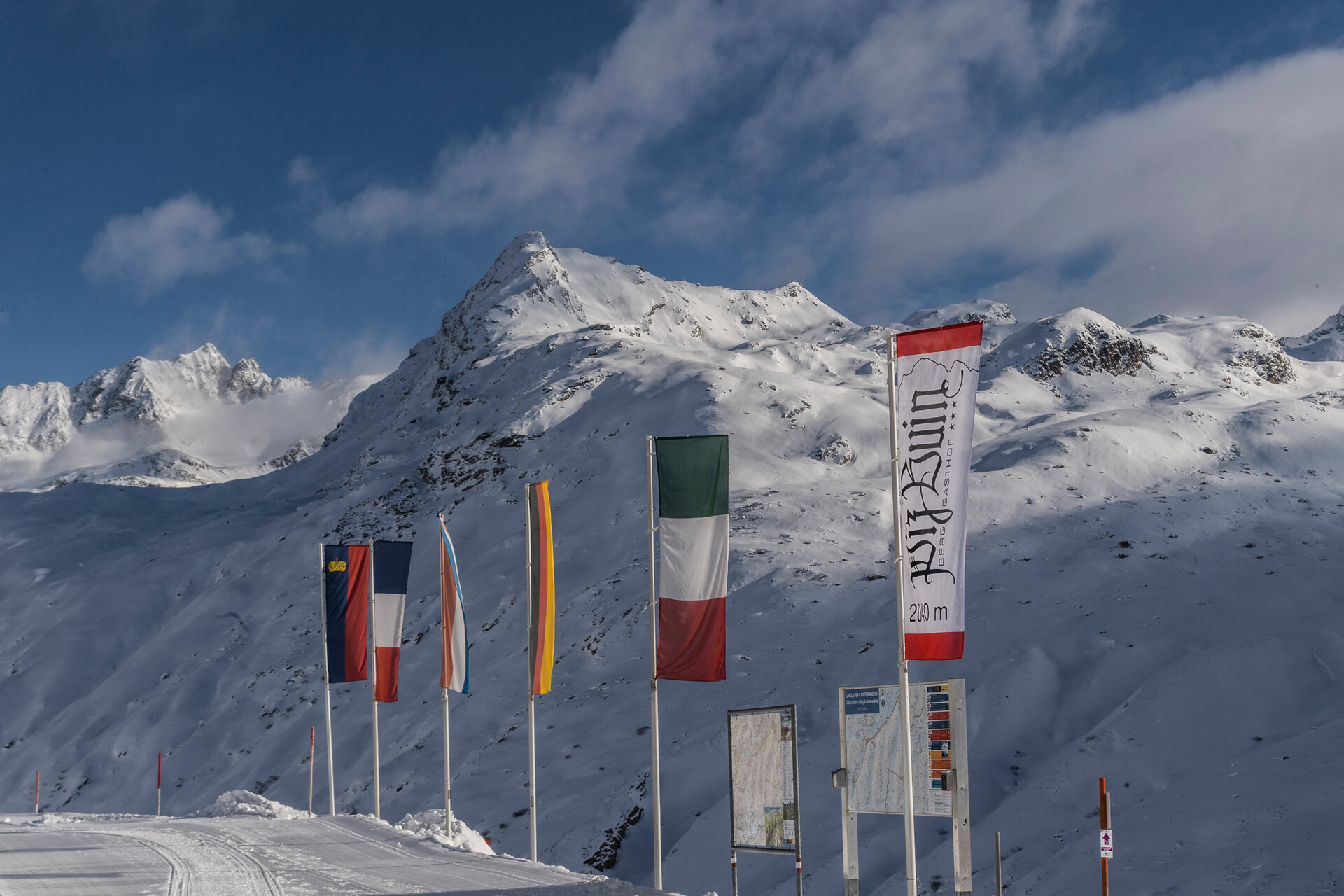
From Bielerhöhe to Wirl/Galtür and back the same way. You could also call it a border crossing. Because this magnificent winter hike takes you from Vorarlberg to Tyrol and back again.
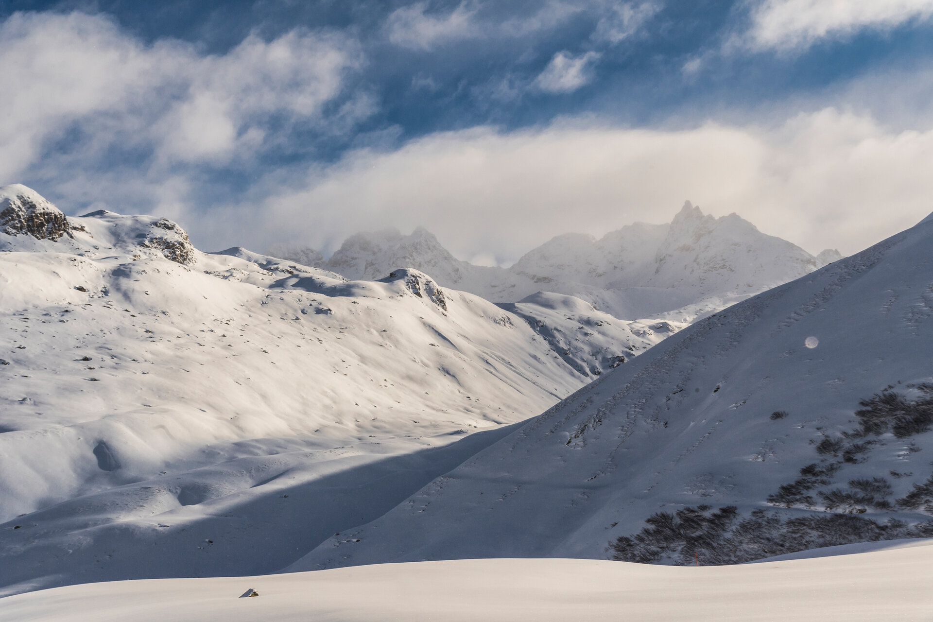
The groomed winter hiking trail runs parallel to the Galtür trail. One way is 8.6 km and takes about 2 hours from Silvretta-Bielerhöhe to Wirl. Significantly more time should be allowed for the return trip. Because the outward way is almost exclusively downhill, on the way back you have to climb the altitude meters again. This definitely requires some fitness. Walking in snow should not be underestimated. The path leads through a beautiful valley, which can be driven by car in summer. In winter, however, the Silvretta High Alpine Road is closed. Don't miss the opportunity to let your gaze wander over the surrounding mountains during your route. You are moving in an impressive and spectacular mountain world. Every view is worthwhile here.