Tour description
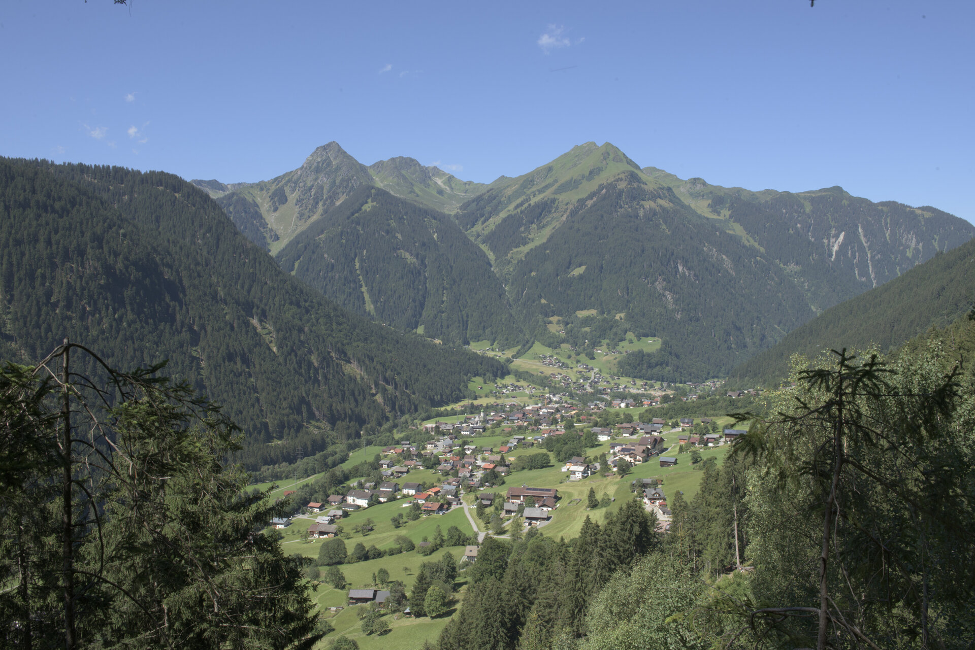
Silvretta Park Montafon (Valisera Bahn valley station) – Ill cycle path – Garfescha Bahn valley station – Außergant – Bödnerkapelle – Monigg – Grappes – return via the same route
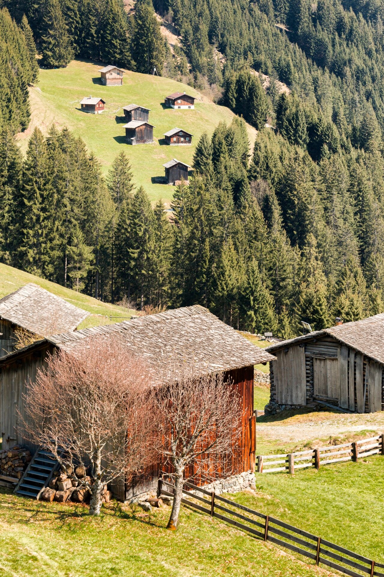
This route is very suitable for training. From St. Gallenkirch, about 1,000 meters of elevation gain – mostly on forest roads – must be covered to just below the Grappeskopf. With sturdy footwear you can reach the summit on foot in about 45 minutes. This option is popular with hiking and biking enthusiasts, as the approach otherwise takes a very long time. For safety, we recommend bringing a bike lock for your bike. There are no refreshment stops on this route.