Montafoner Silvrettarunde | Tübinger Hütte to Silvrettahütte SAC (CH)
Hiking
· Alpine mosaic – Silvretta
· Alpine mosaic
· Refreshment stops
· Round trip
06:30 h
duration
12,0 km
Length
2727 m
Highest point
2093 m
Lowest point
1332 m
Ascent
1186 m
Descent

Tour description
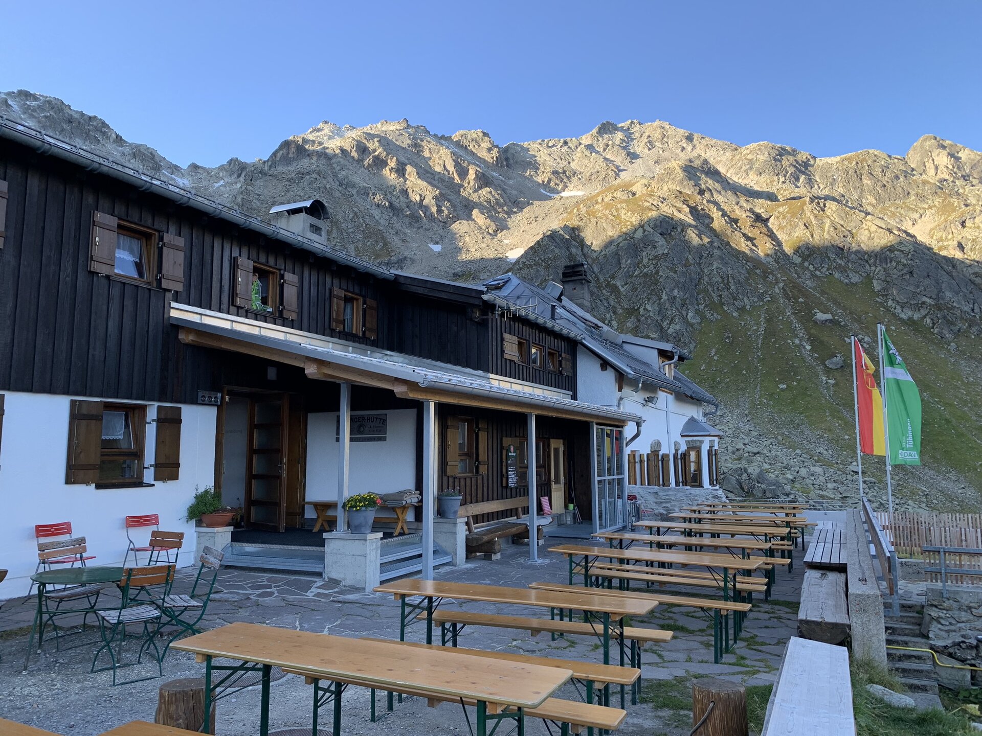
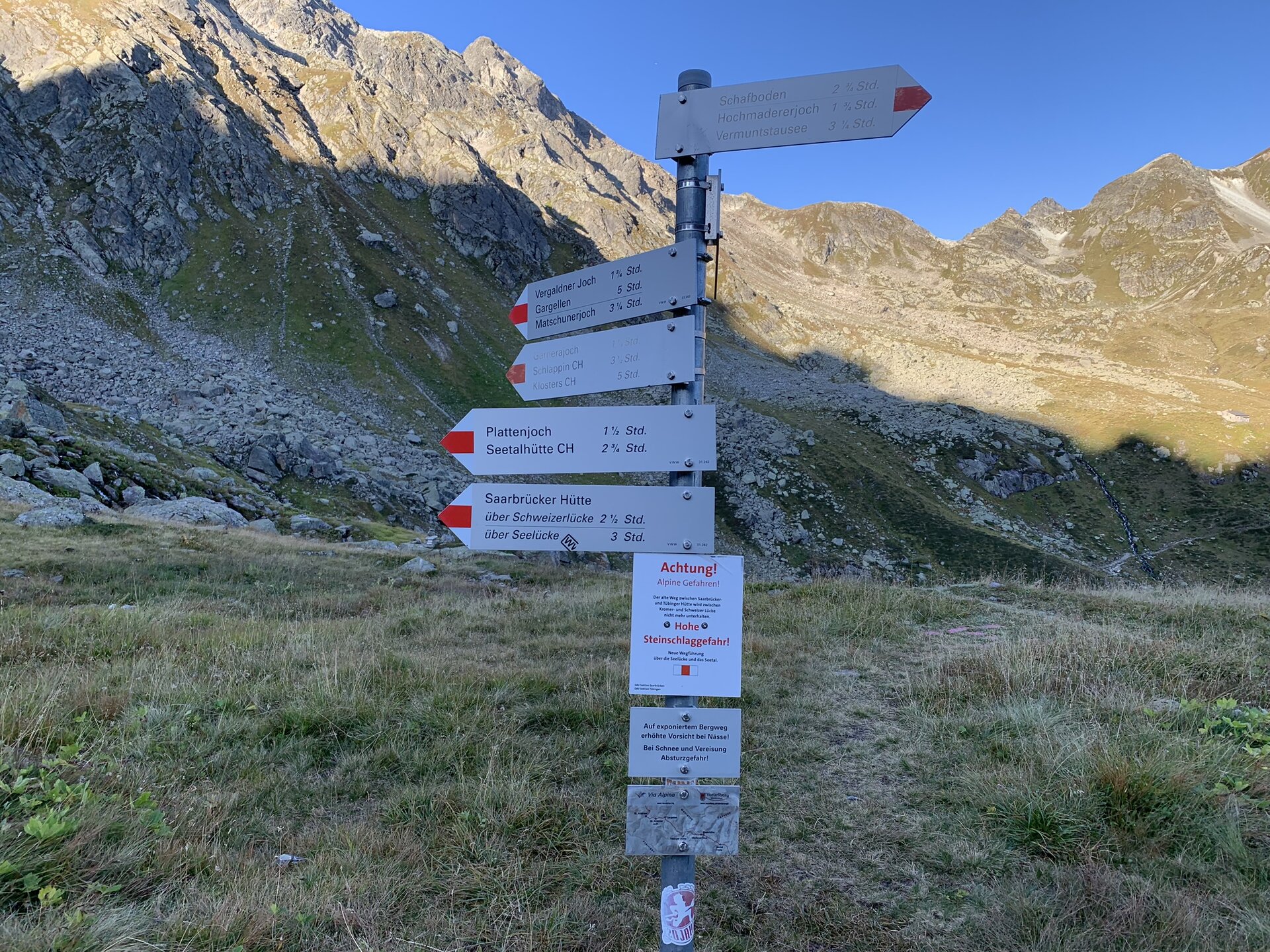
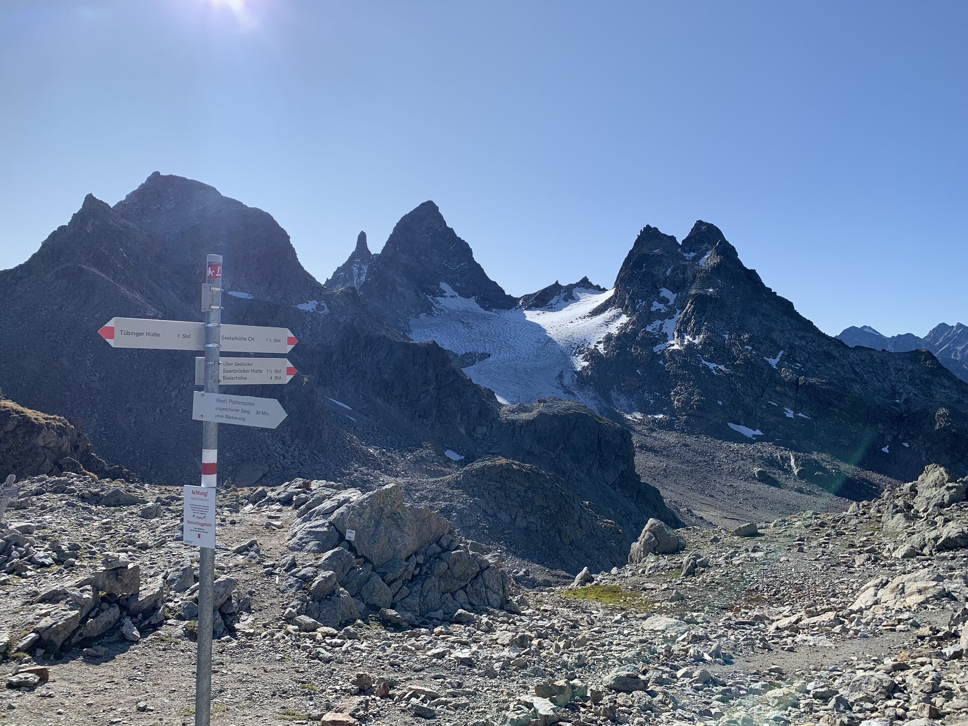
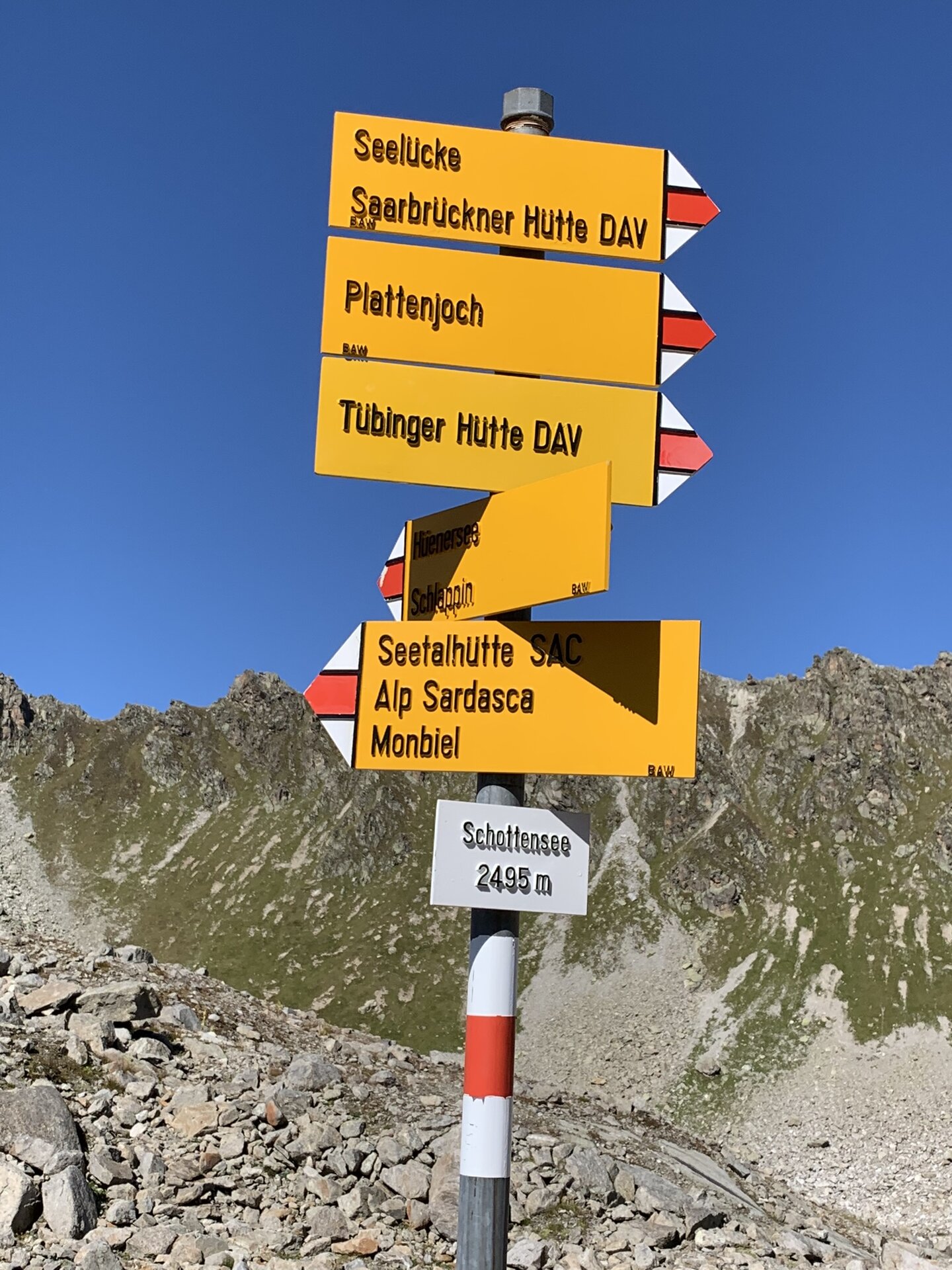
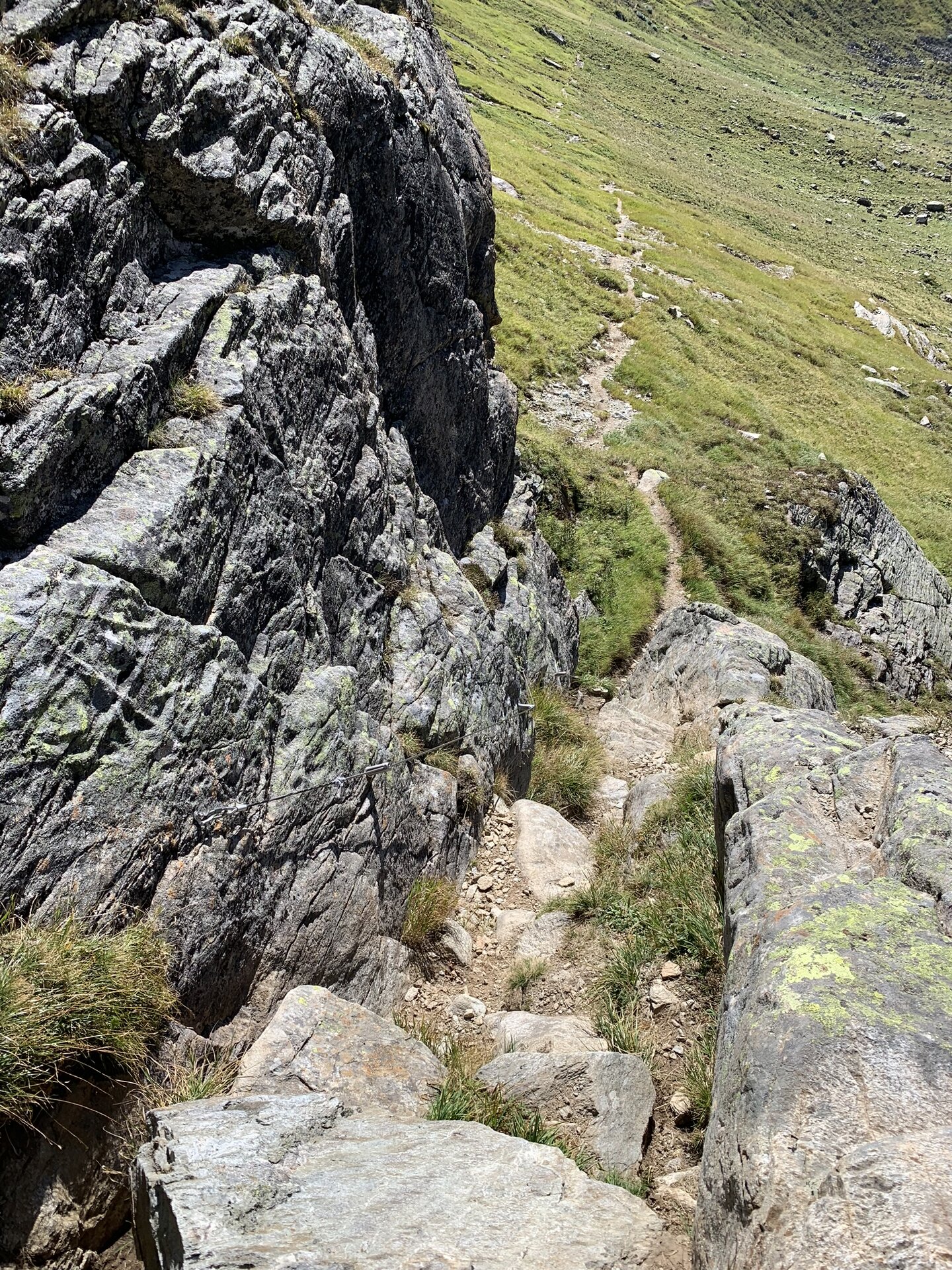
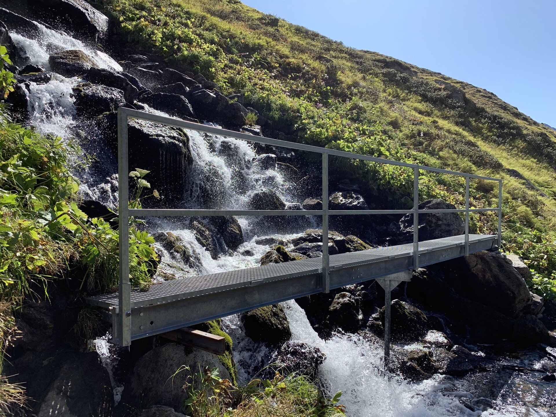
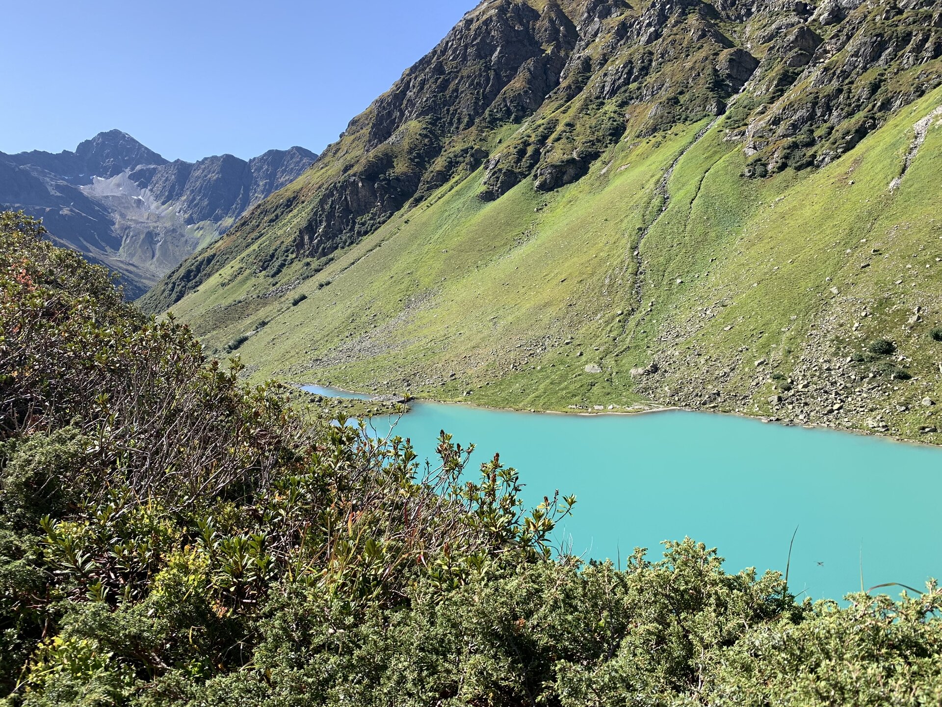
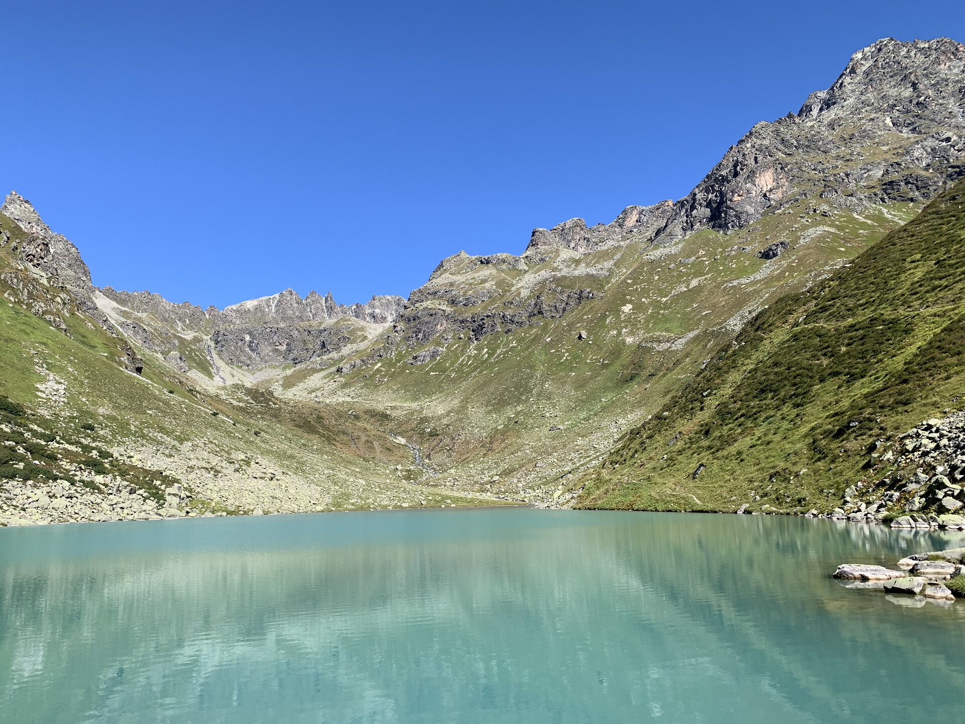
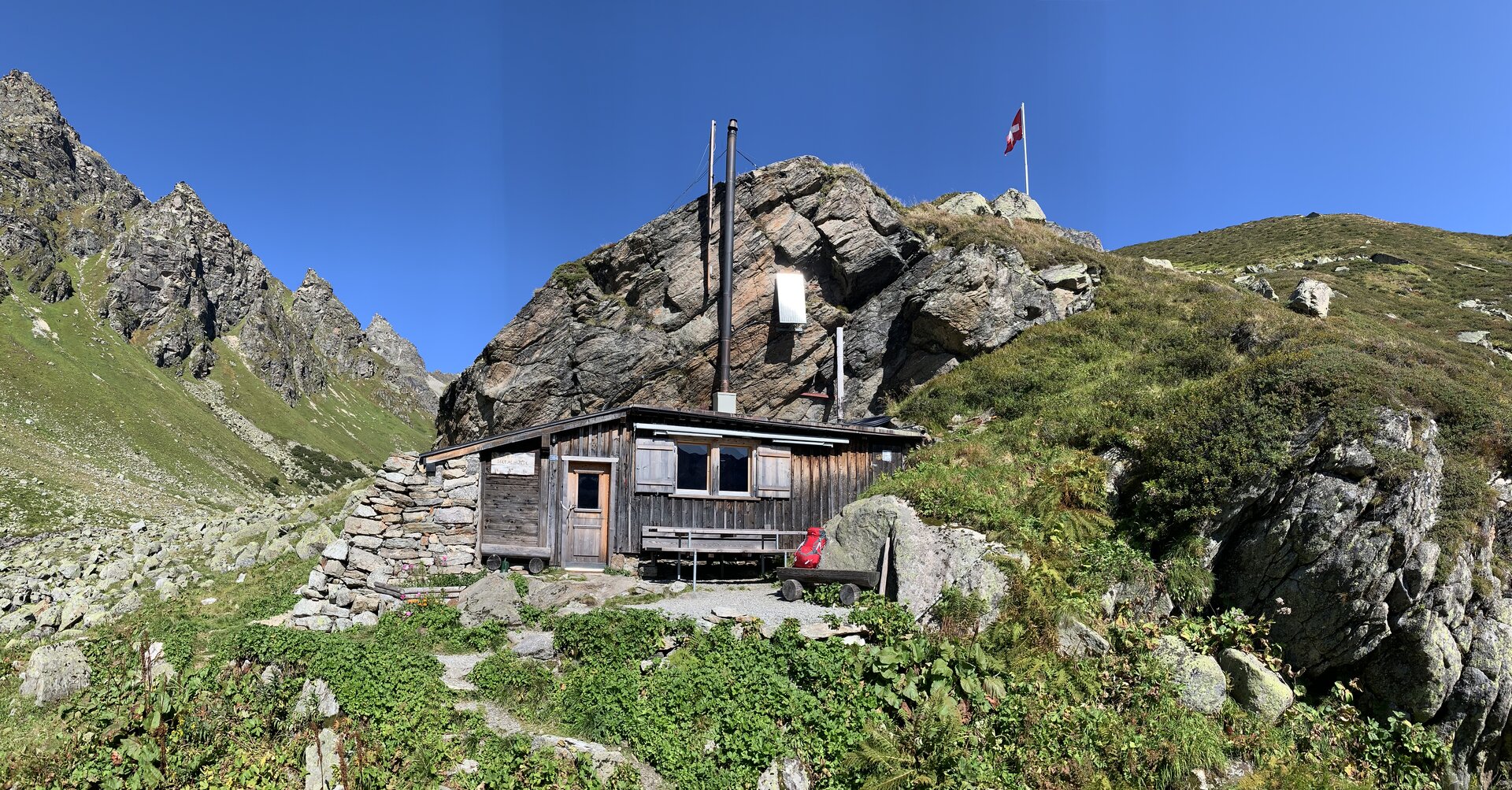
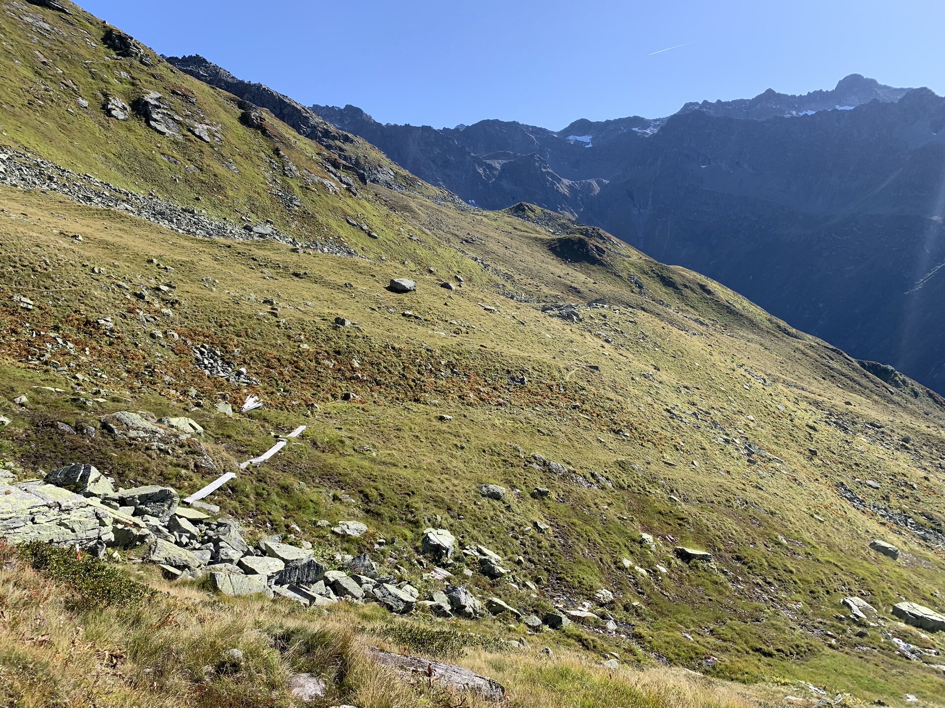
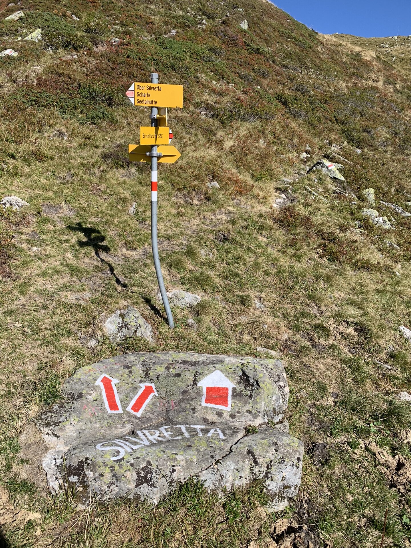
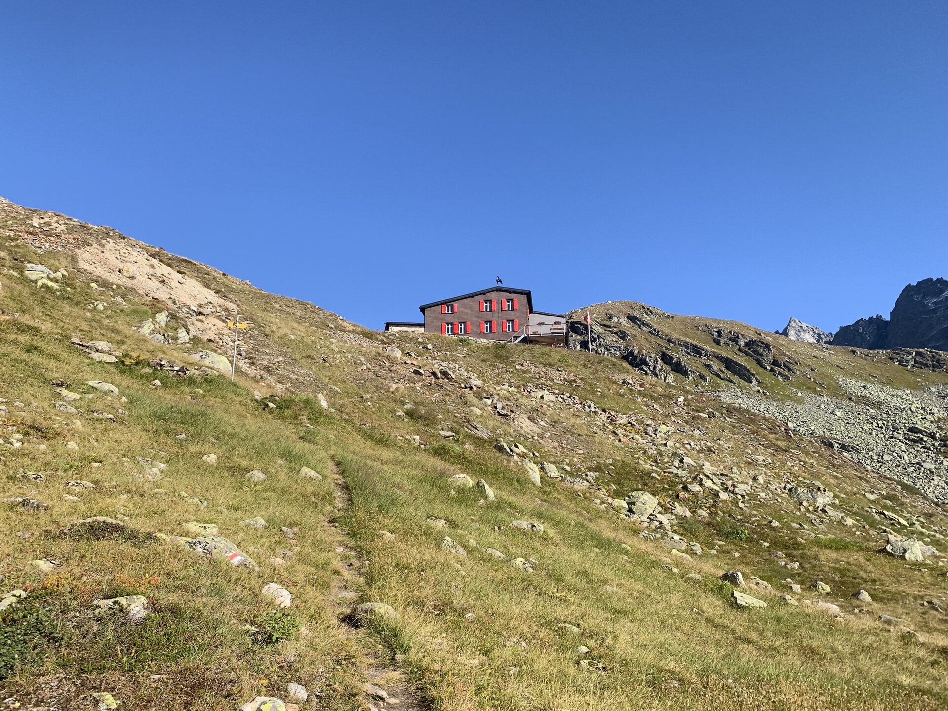
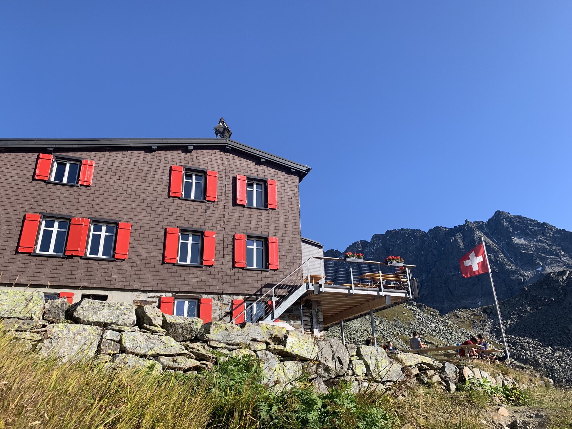
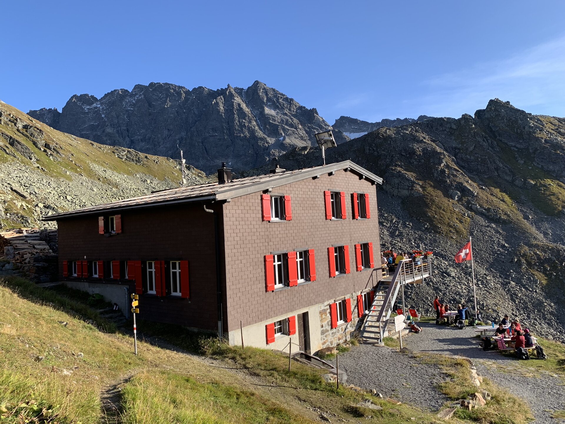
Tübinger Hütte - Plattenjoch - lake - notch - Silvrettahütte SAC (CH)
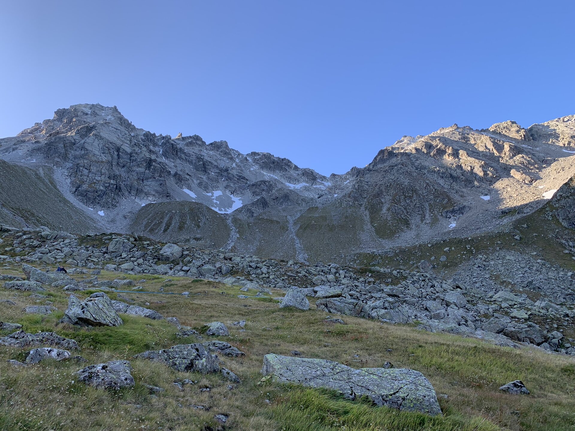
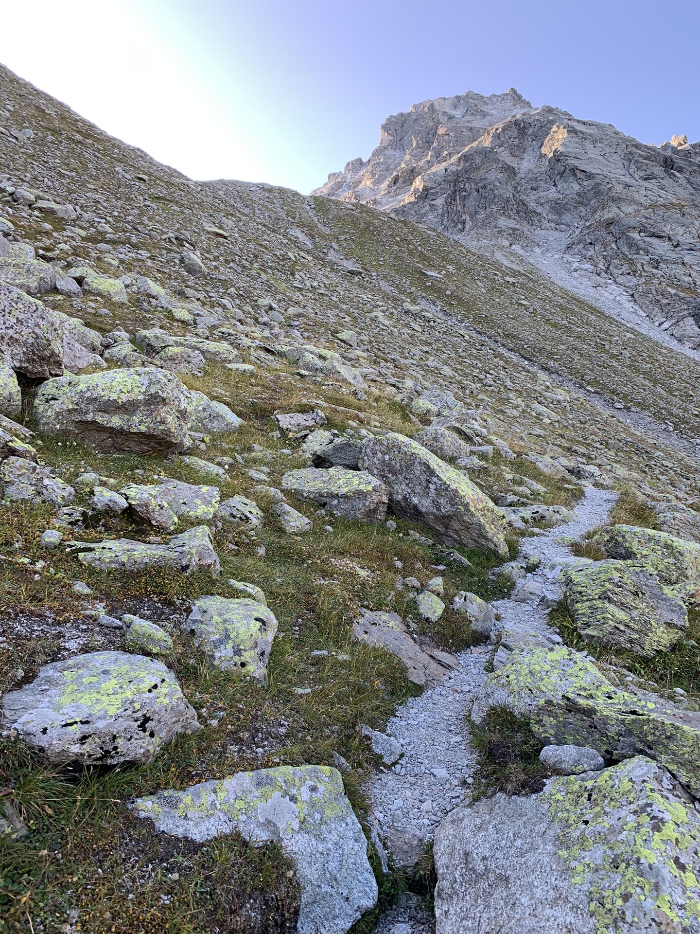
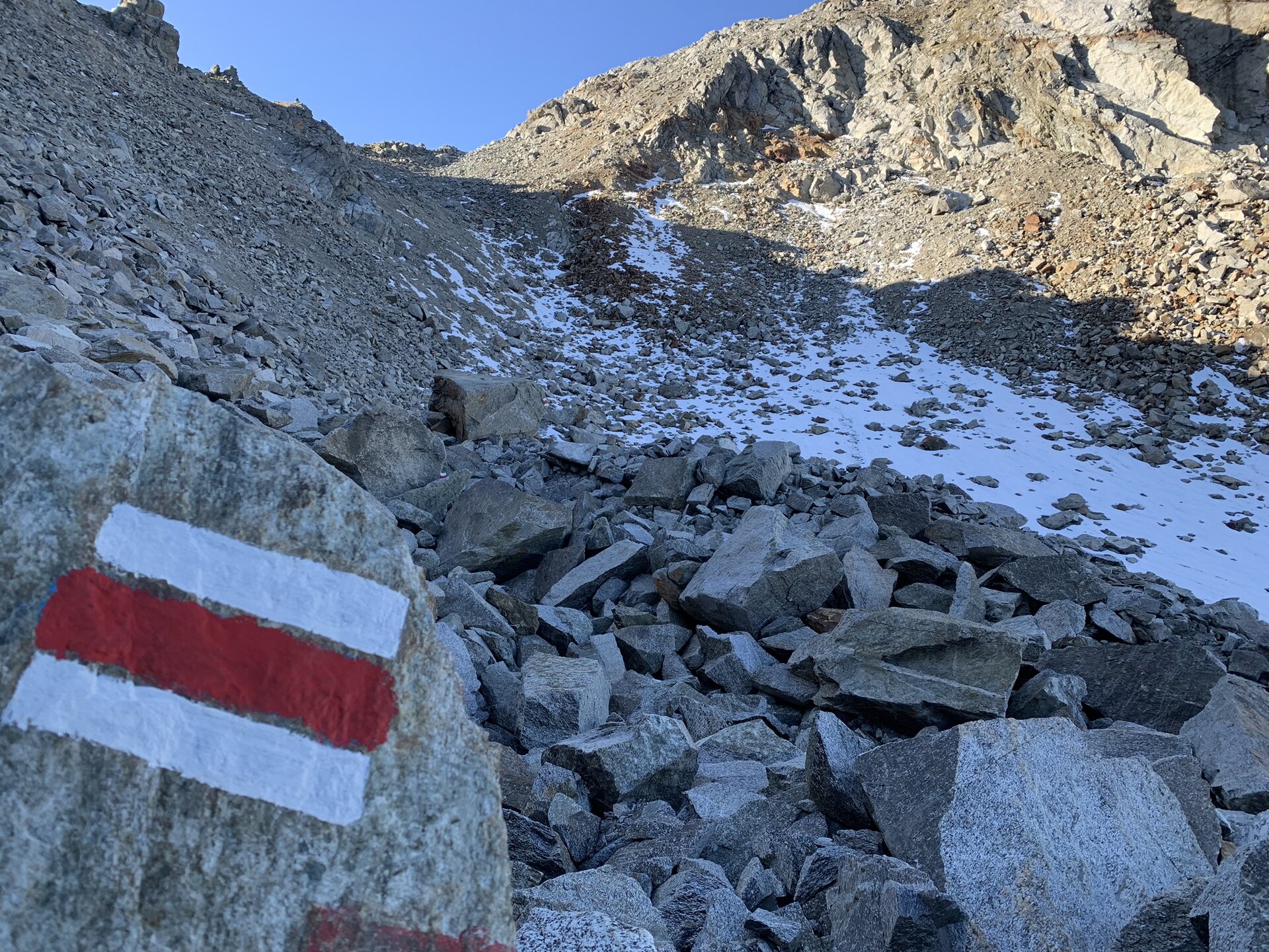
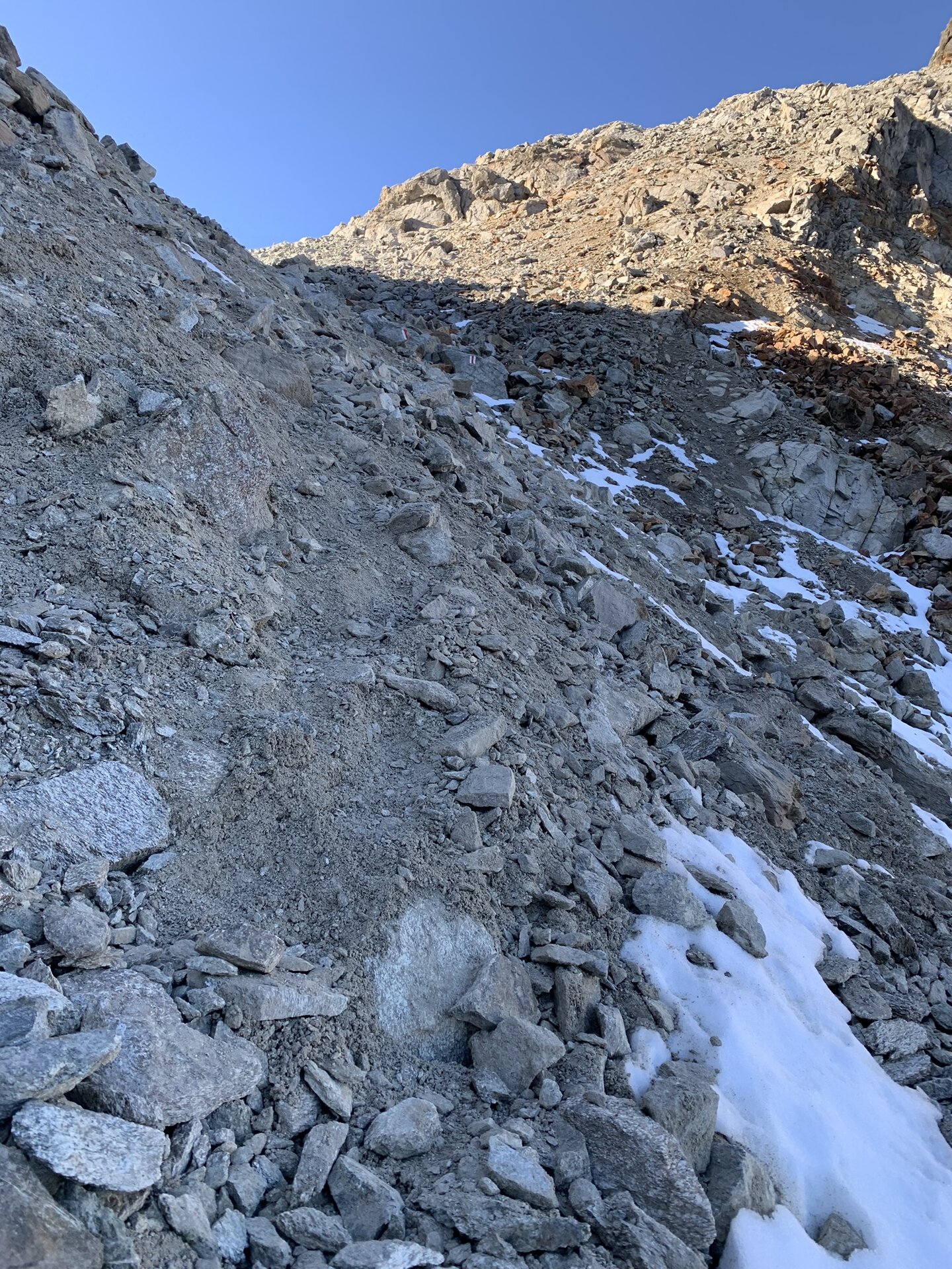
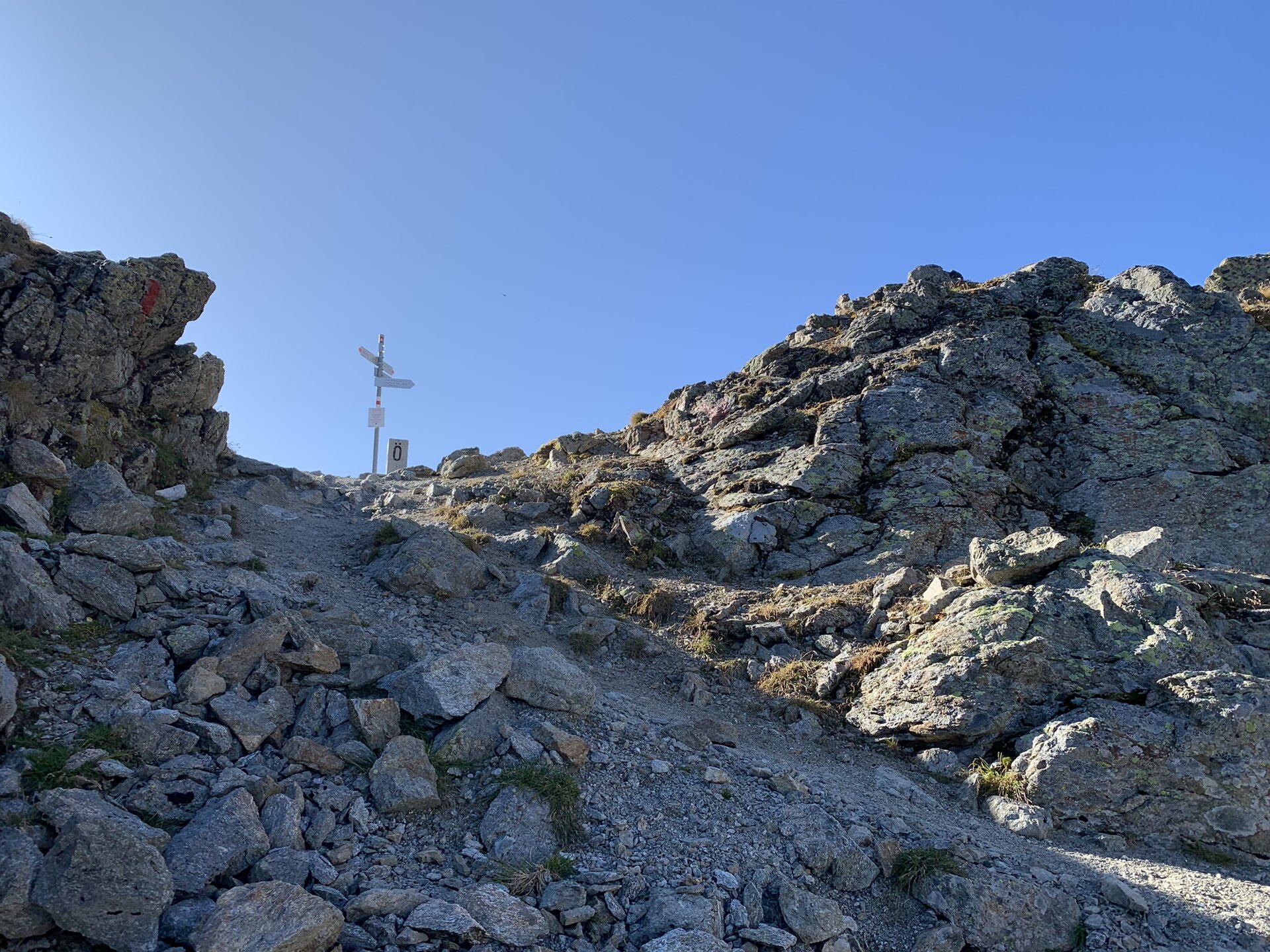
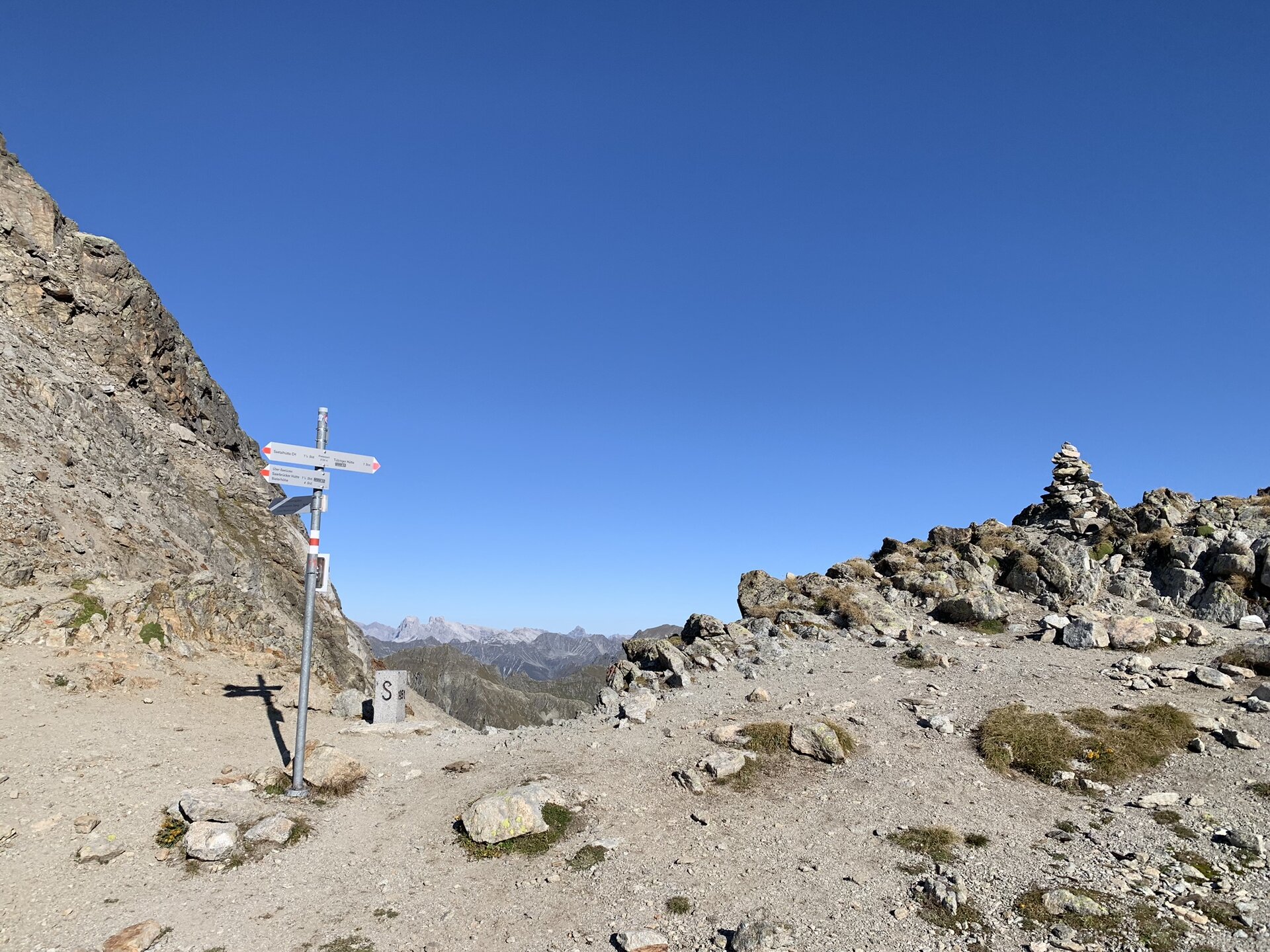
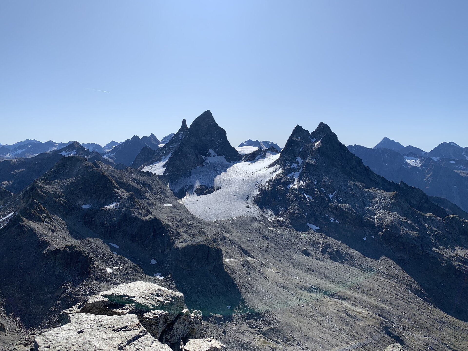
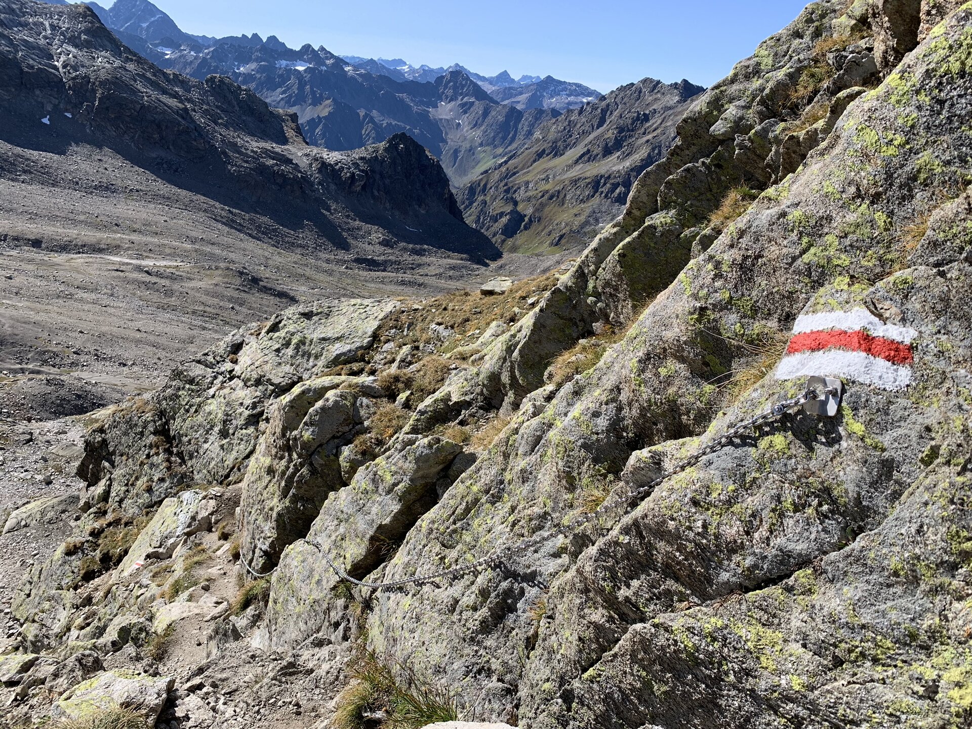
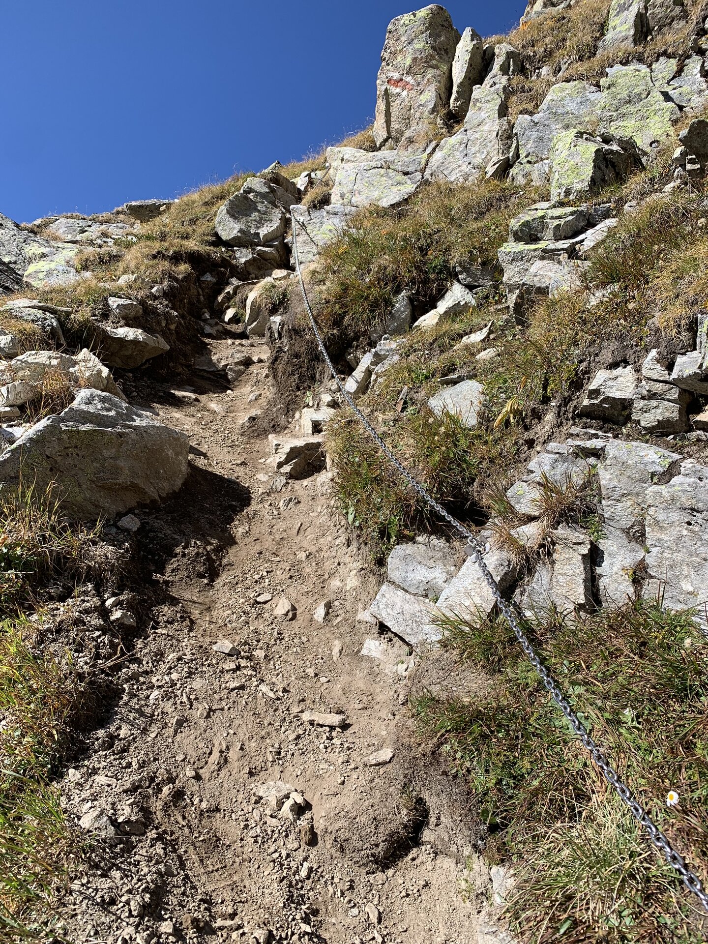
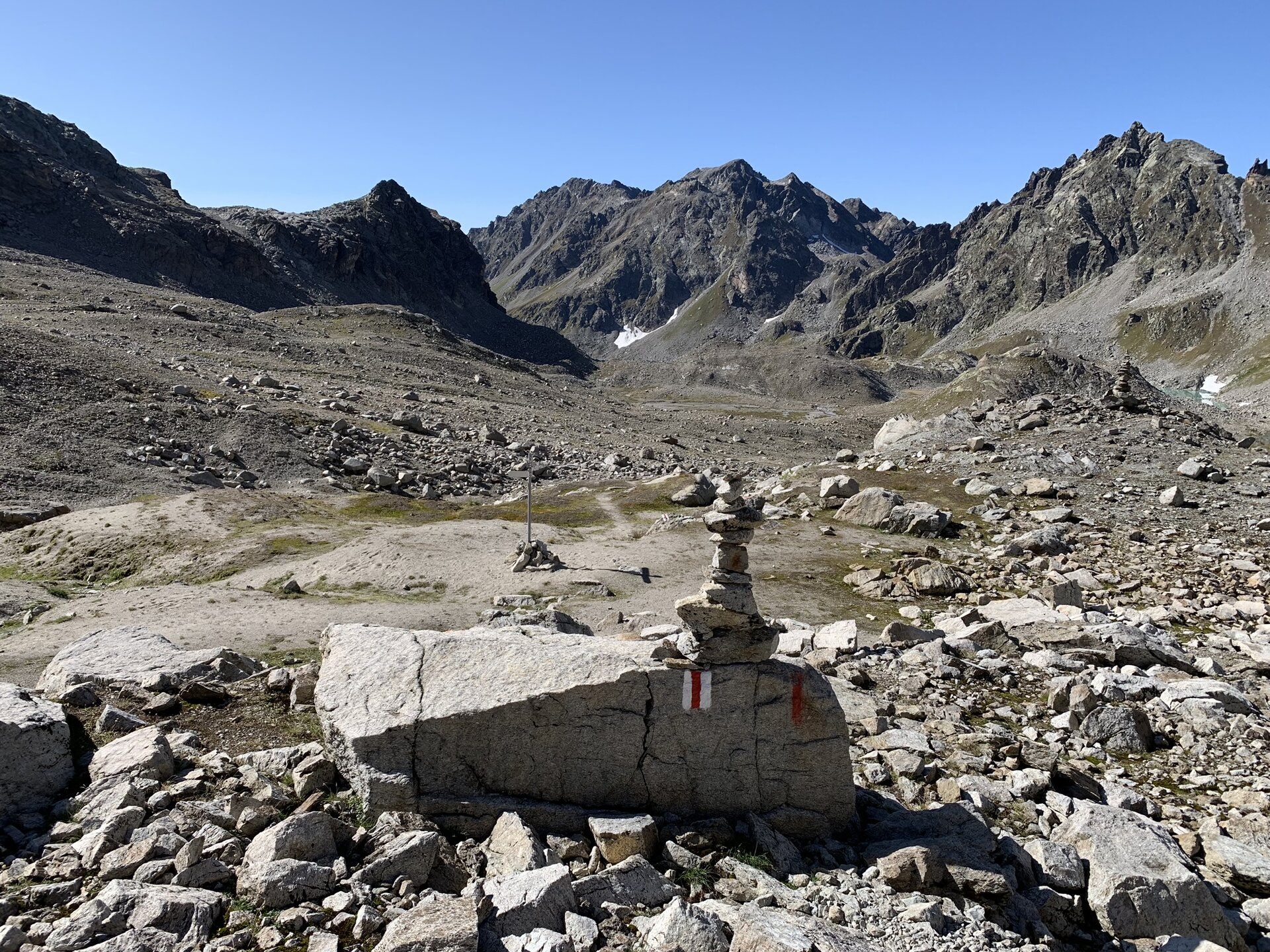
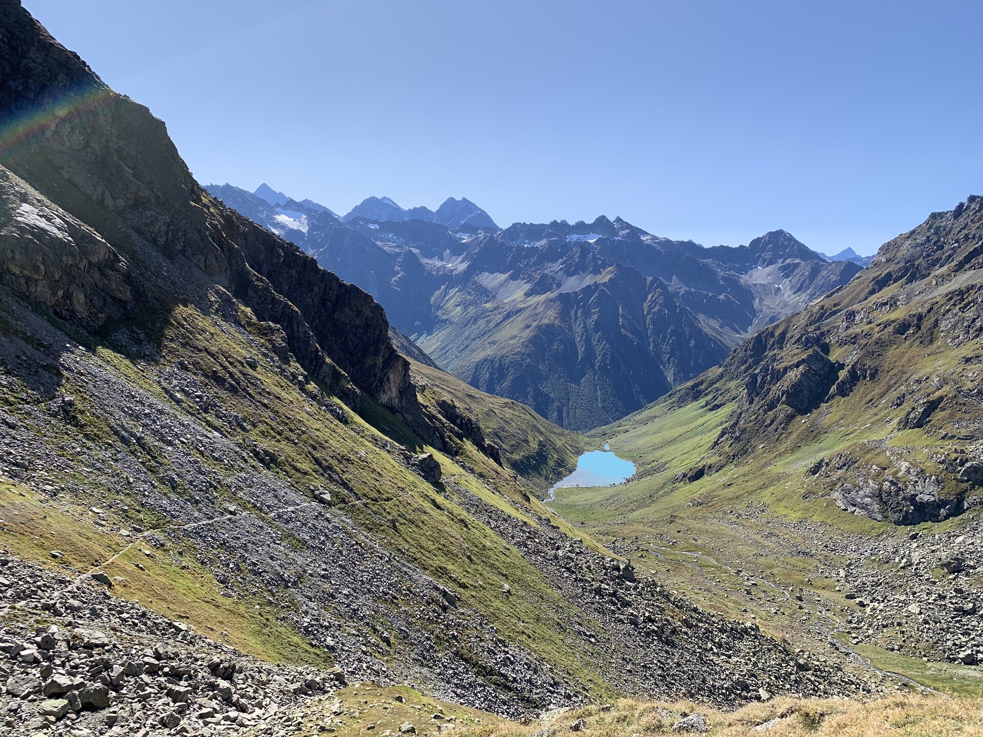
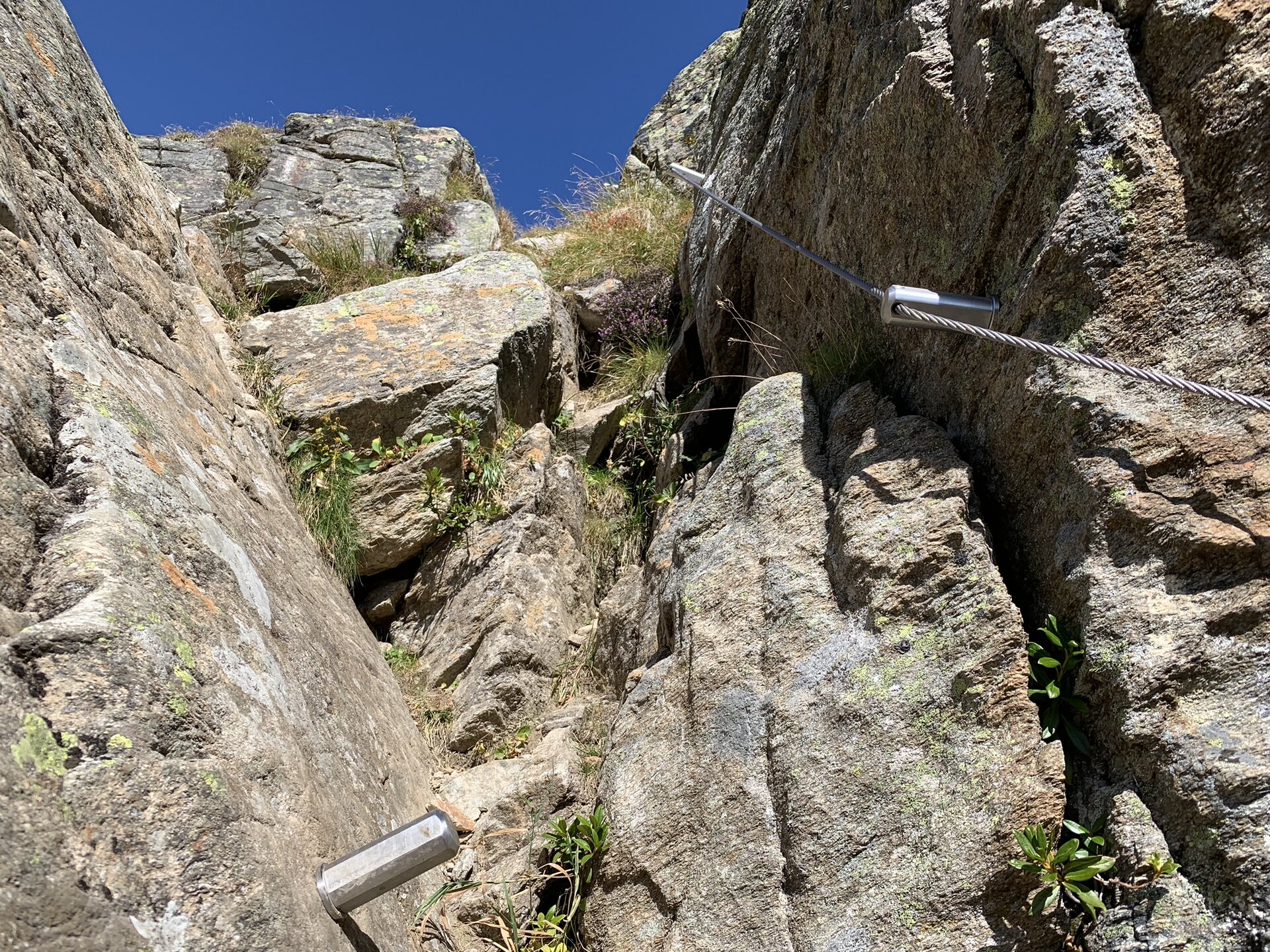
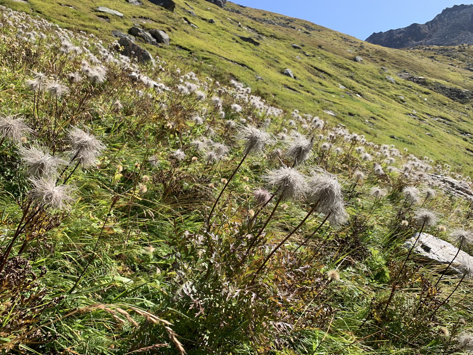
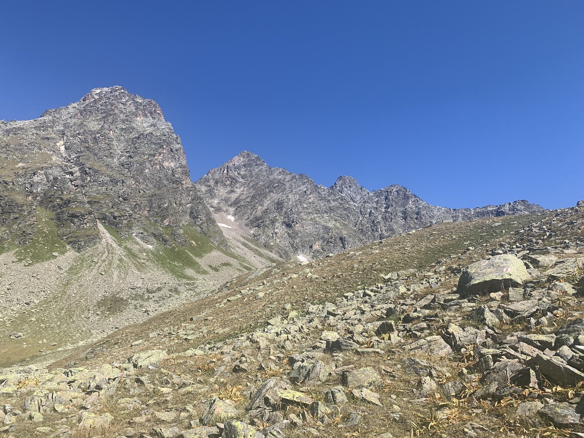
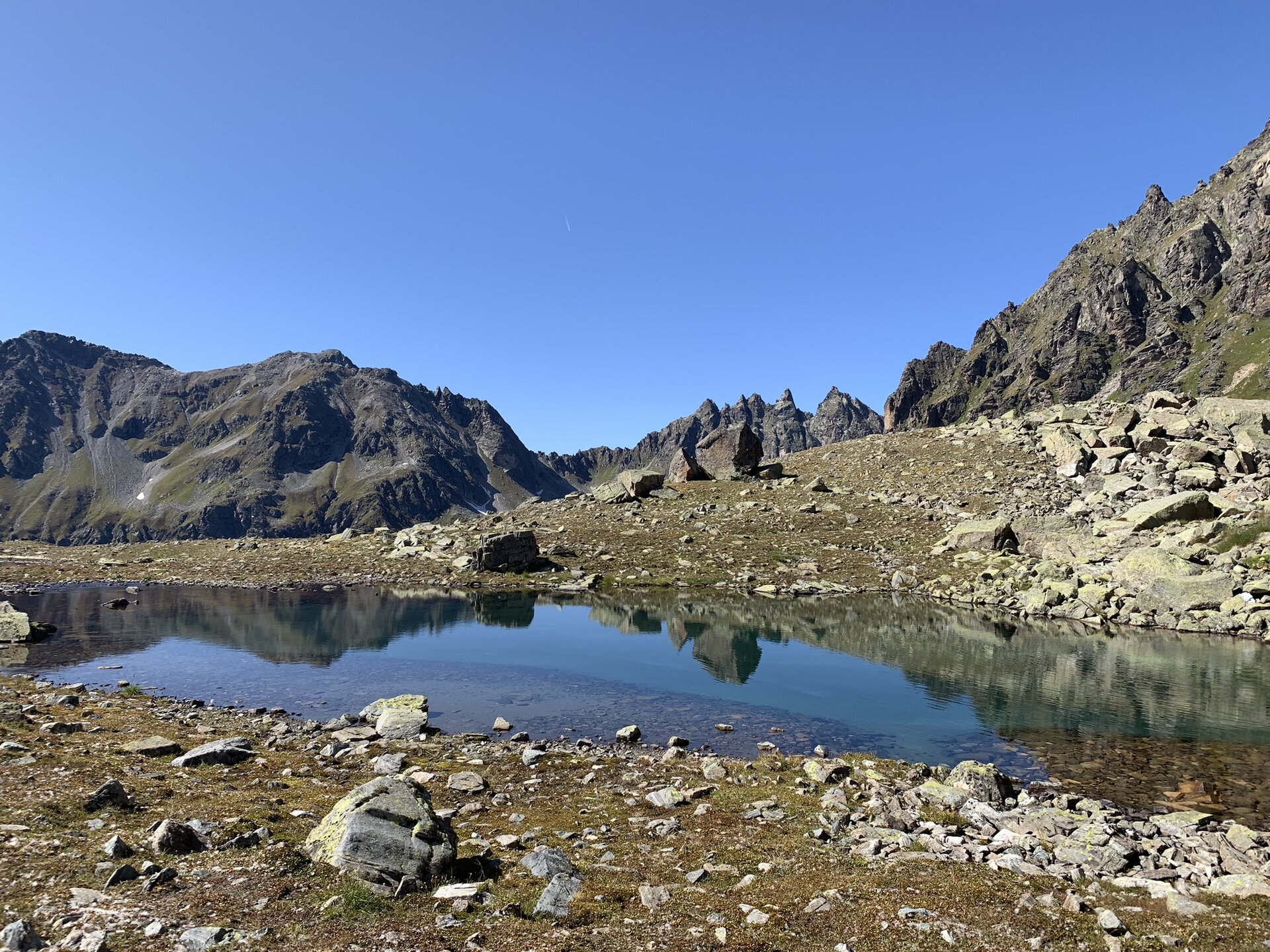
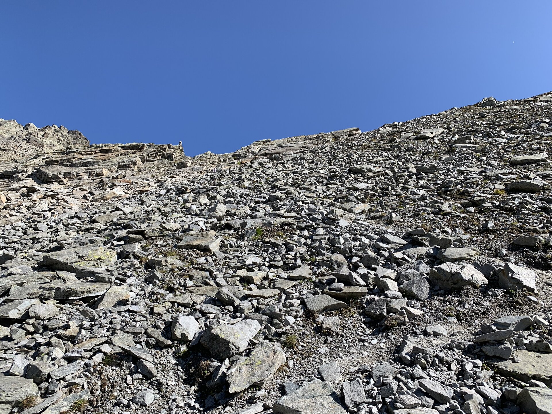
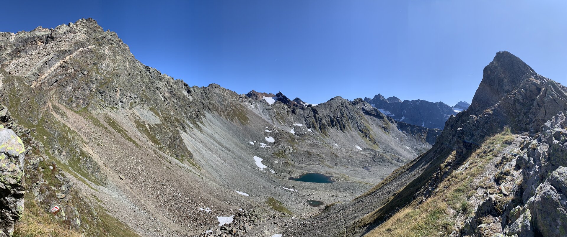
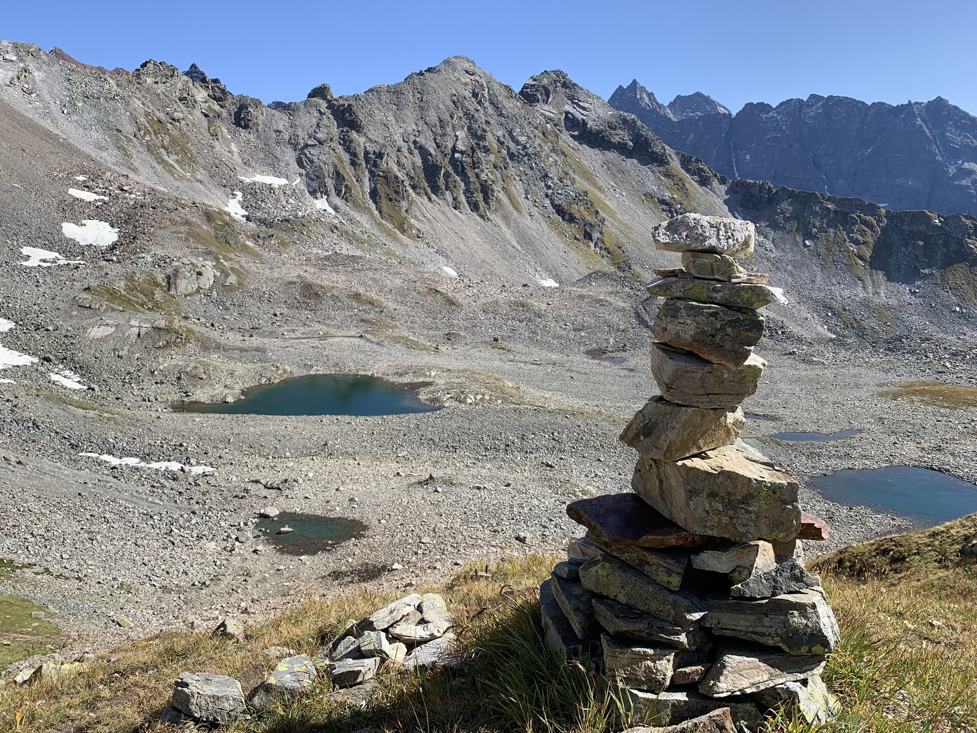
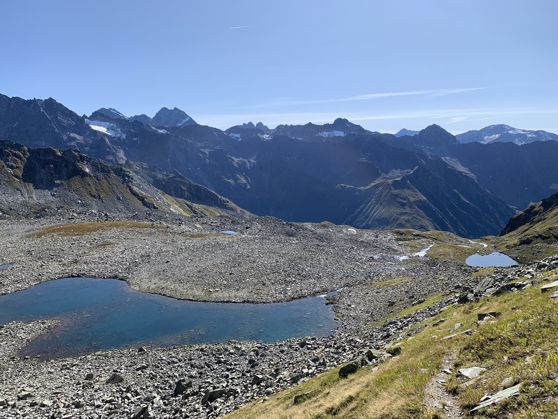
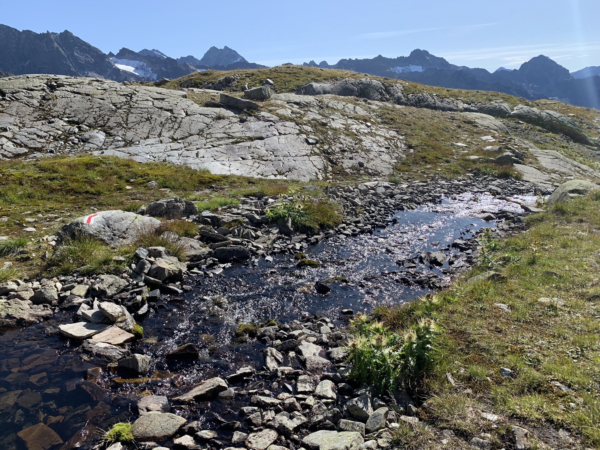
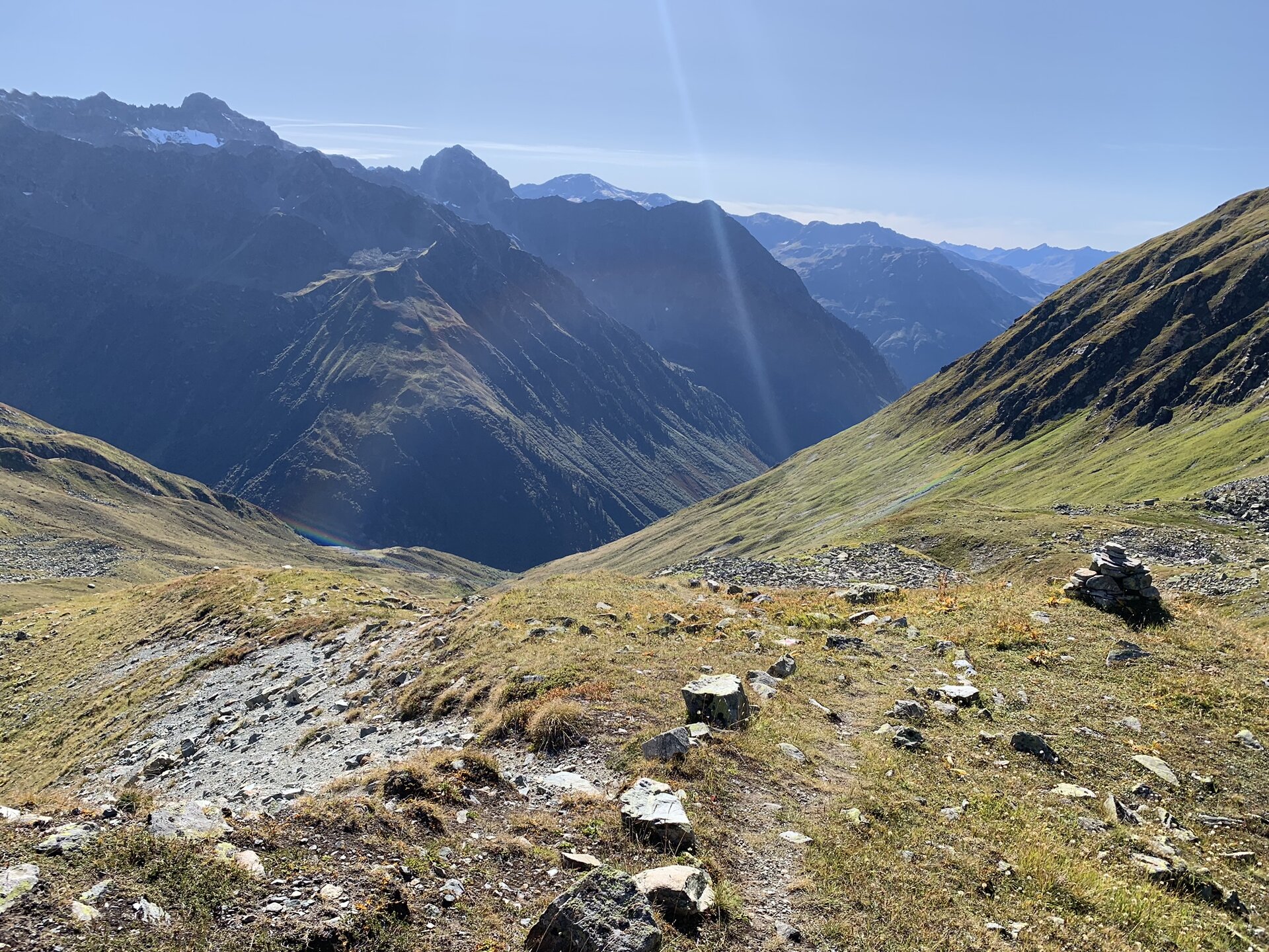
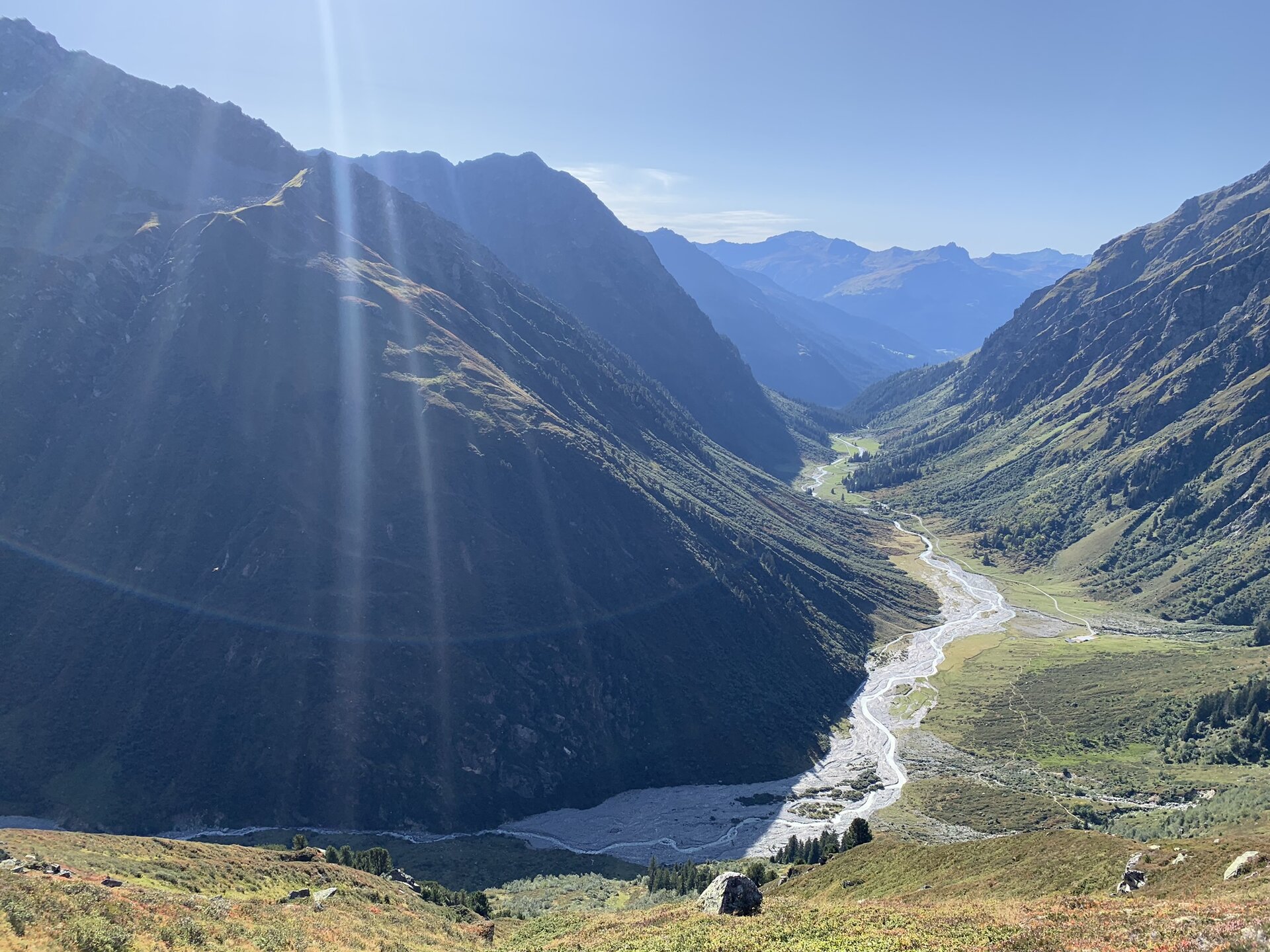
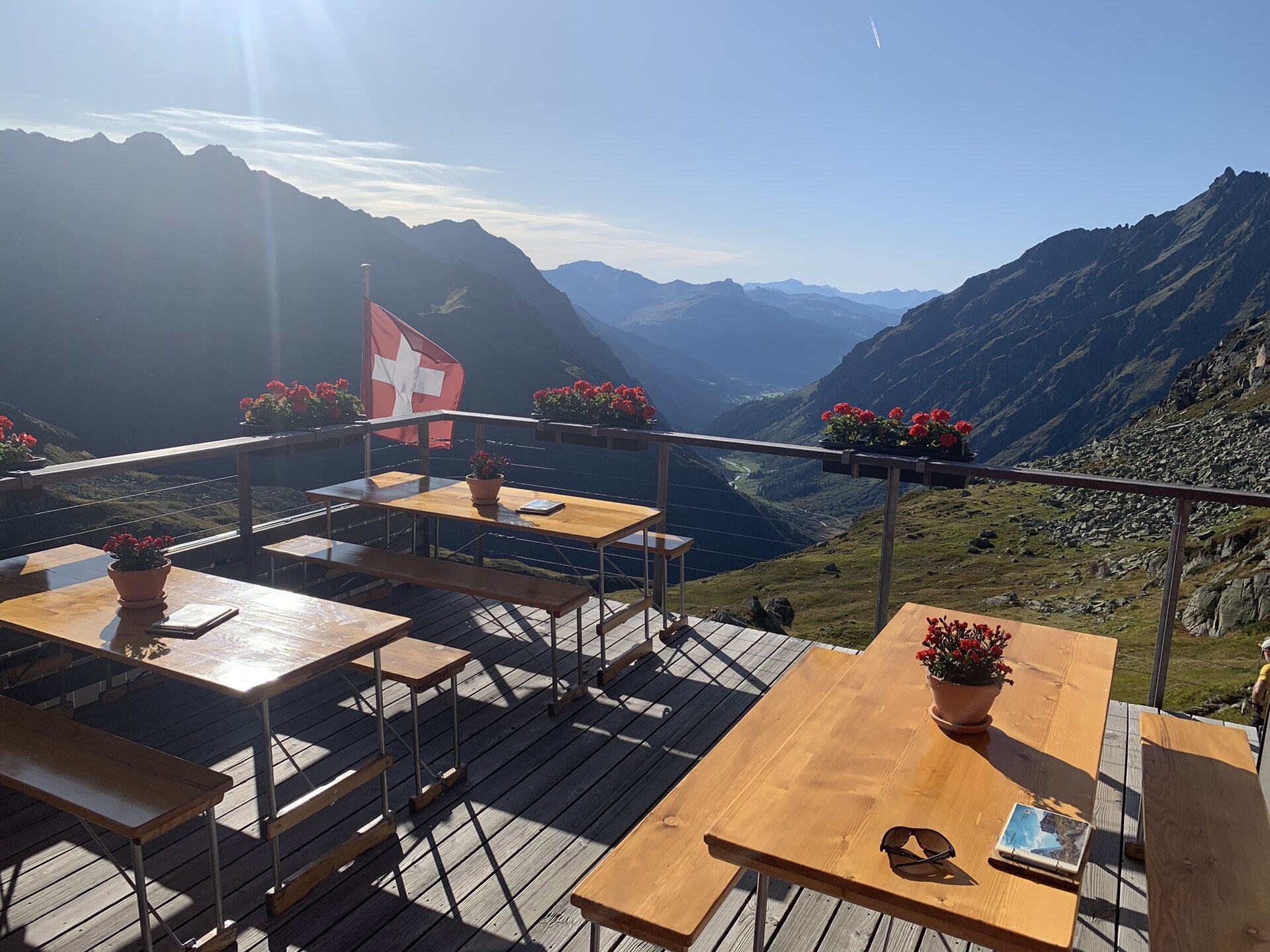
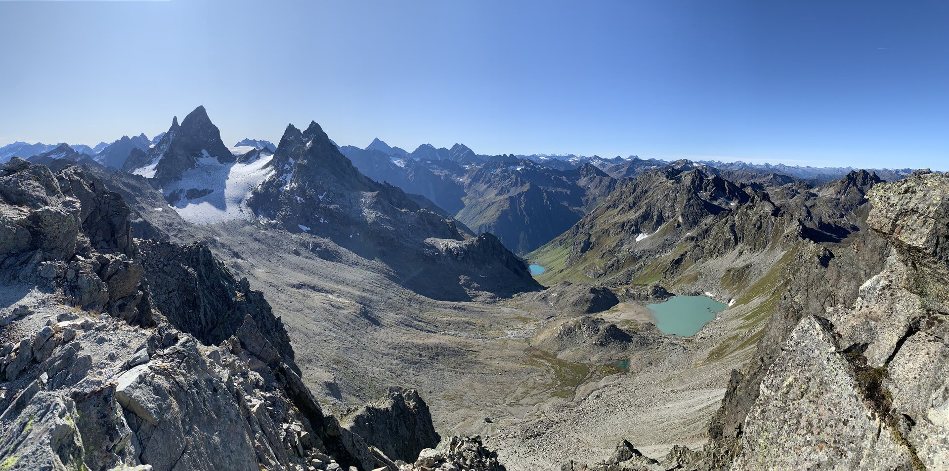
The path over the alpine pass Plattenjoch leads into Switzerland and is a real border experience. After a barren rocky environment on the northern side of the mountain ridge, you will find on the southern side a high alpine landscape covered with moss and meadows. Individual turquoise mountain lakes are the last traces left by the retreating glaciers here.
Important: For this demanding route, you should plan your personal daily stages and reserve overnight stays at the huts in advance!
Sicherheitstipps für Wandern in Vorarlberg
EN NOTRUF:
EN 140 - Alpine Notfälle österreichweit
EN 144 - Alpine Notfälle Vorarlberg
EN 112 - Euro-Notruf (funktioniert mit jedem Handy/Netz)
Characteristics
Tour type
Hiking, Alpine mosaic – Silvretta, Alpine mosaic, Refreshment stops, Round trip
Difficulty
Difficult
Elevation profile
Best time of year
Jan
Feb
Mär
Apr
Mai
Jun
Jul
Aug
Sep
Okt
Nov
Dez